2 hrs ago
Why Nepal’s Deadly Floods Were So Difficult To Predict
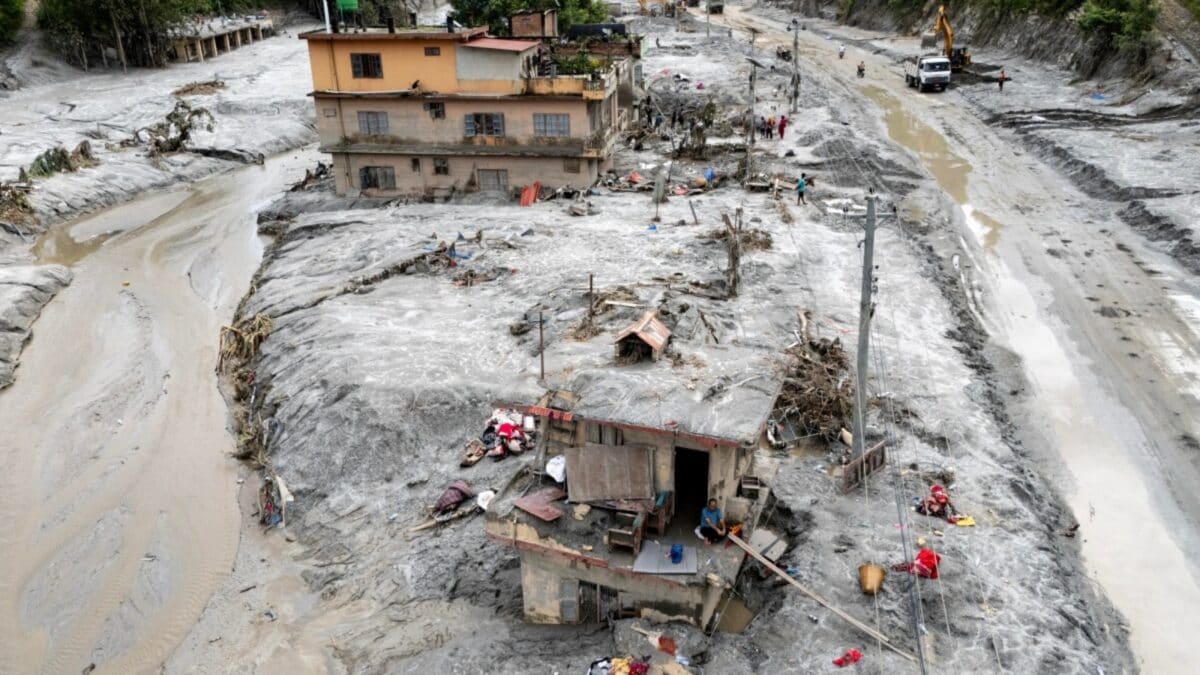
Nepal experienced a very large and deadly flood on August 26.
More than 1,000 people died.
Scientists think a glacier and the ground beneath it suddenly collapsed.
This was different from a flood caused by a visible glacial lake breaking open.
The ground may have been weakened by warmer temperatures, melting glaciers and thawing frozen soil.
Loose rocks and dirt made the flood more powerful.
It was hard to warn people because scientists did not know exactly where the hidden movement was happening.
Experts say better sensors, satellites, shared data and climate funding could help communities prepare for future disasters.

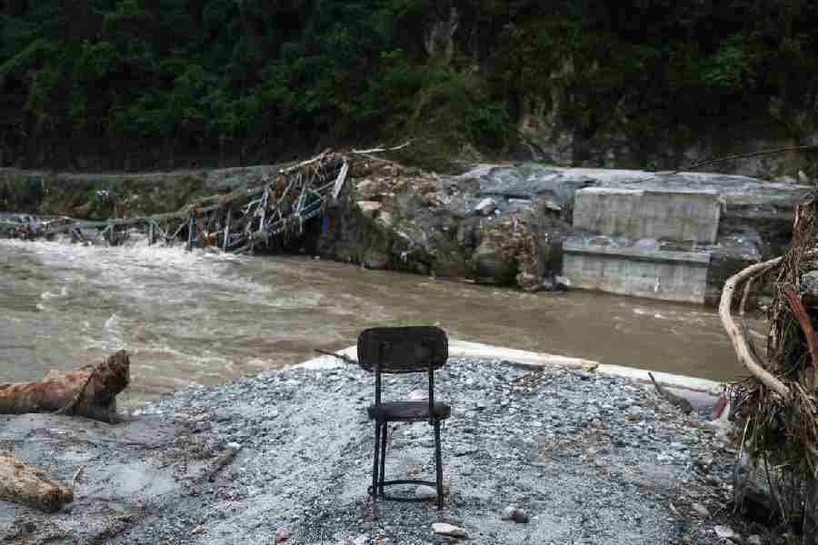
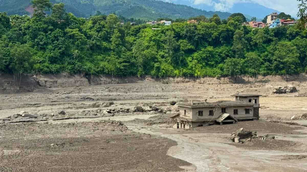
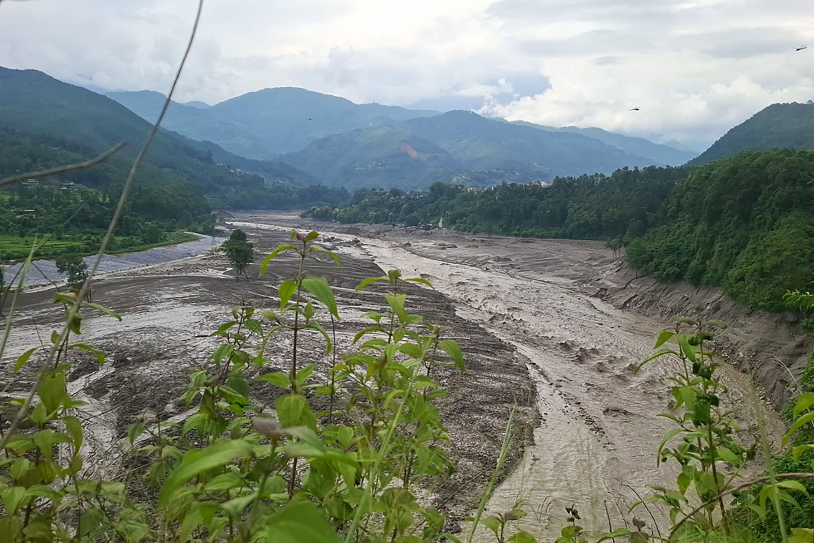
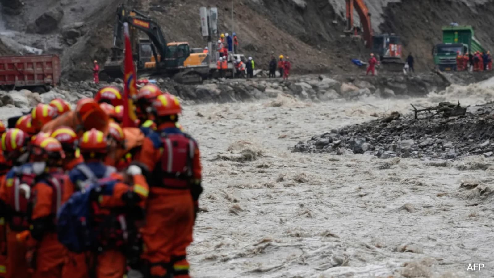
Nepal’s August 26 floods killed more than 1,000 people and swept water, sediment and boulders through the Bhote Koshi and Trishuli river systems.
Preliminary investigations indicate that a rapidly failing mountain slope and glacier triggered the disaster, rather than a glacial lake outburst flood.
Scientists say creeping movement, warming permafrost, glacier retreat and weathering sedimentary rocks may have combined to destabilize the terrain.
Early warnings were difficult because the trigger was beneath the surface and the unstable area was within the vast 2,500-kilometre Himalayan range.
Nepal has sought support from the Loss and Damage Fund, while experts urge greater financing for climate adaptation and improved monitoring systems.
- Who
- More than 1,000 people in Nepal were killed; scientists including ICIMOD specialist Farooq Azam investigated the event, while Prime Minister Balendra Shah sought international support.
- What
- A catastrophic flash flood was apparently triggered by rapid slope failure involving a glacier, producing a surge of water, sediment and boulders.
- Where
- The suspected trigger was near Lāṅṭāṇ National Park in Nepal, close to the Chinese border, with flooding moving through the Bhote Koshi and Trishuli river systems.
- When
- The floods occurred on August 26; the analysis was published on September 4, 2026.
- Why
- Preliminary findings point to a combination of climate-driven changes and geological processes, including glacier retreat, warming permafrost and unstable, weathered mountain terrain.
Key facts
- Reported deaths
- More than 1,000 people
- Flood date
- August 26
- Suspected trigger
- Rapid slope failure involving a glacier near Lāṅṭāṇ National Park
- Seismic impact
- The collapse produced activity equivalent to a magnitude 5.2 earthquake
- Affected river systems
- Bhote Koshi and Trishuli
- Himalayan range considered
- Approximately 2,500 kilometres
- Nepal’s estimated bill
- About $5 billion
- Proposed annual climate-finance target
- $300 billion, which experts say is far from being met
Quotes
Dr Farooq Azam
Senior Cryosphere Specialist and Intervention Manager at ICIMOD
“There are early warning systems for landslides, or Glacial Lake Outburst Floods (GLOFs). We can see glacial lakes from satellites, measure them and determine if they can potentially breach. We can also monitor the river flows in real time, and if there is any surge, sirens can sound. But what we saw in Nepal was different. There was no lake. The trigger was beneath the surface.”
 news18.com
Ulka Kelkar
Executive Director for Climate, Economics & Finance at WRI India
“As we see more of these disasters, the urgency of adaptation finance is becoming clearer. There is simply no substitute for it. We have to do it, one way or another.”
news18.com
Sources
Related news
Nepal’s Sudden Ice Collapse Exposes Gaps in Flood Warnings
Why Himalayan Early Warning Systems Fail as Disaster Risks Rise
Nepal Disaster Highlights Growing Complexity of Himalayan Hazards

Nepal Floods Spur Calls for Glacier Assessments and Land-Use Reform

Nepal Flash Floods Expose Glacier Risks Amid Climate Concerns
Nepal Flood Highlights Rising Glacier Risks in Warming Himalayas
Nepal Seeks Climate Compensation as Flood Rescue Operations Continue
Nepal's Climate Grievance Is Valid, But India's Liability Isn't

Nepal Seeks Climate Compensation After Deadly Floods
US Withdraws from Climate Treaties