

4 days ago
Nepal Disaster Highlights Growing Complexity of Himalayan Hazards
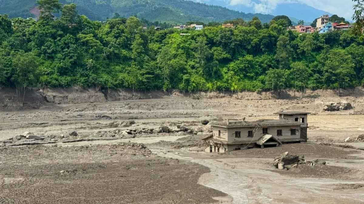
A large mass of ice and rock fell from a mountain in Nepal.
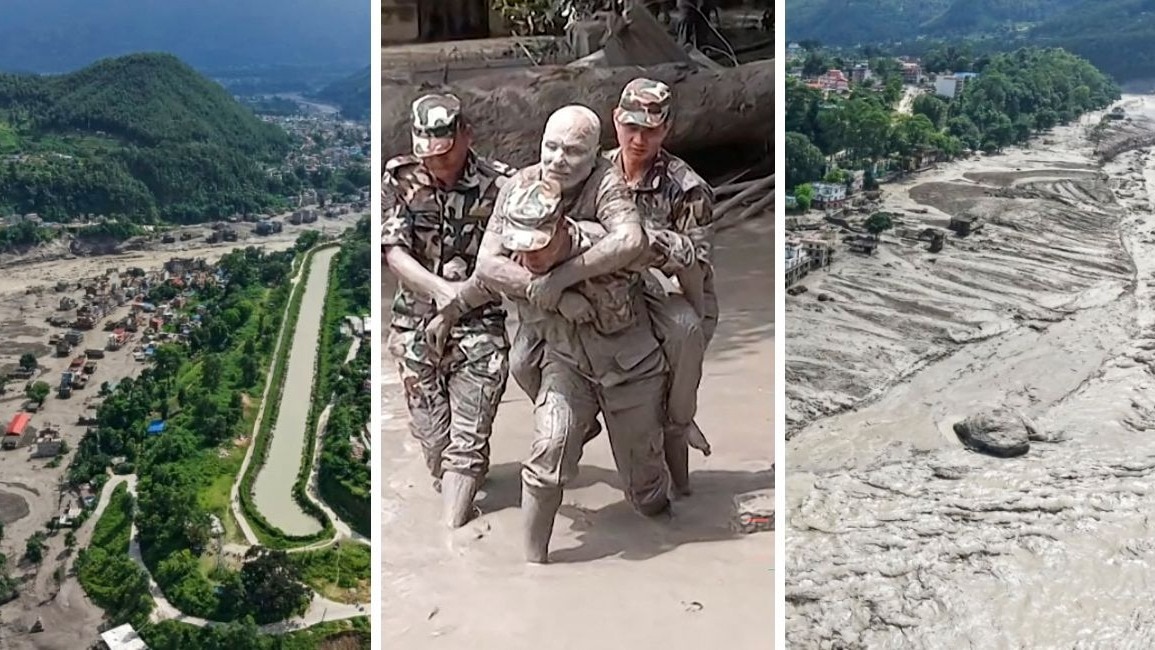
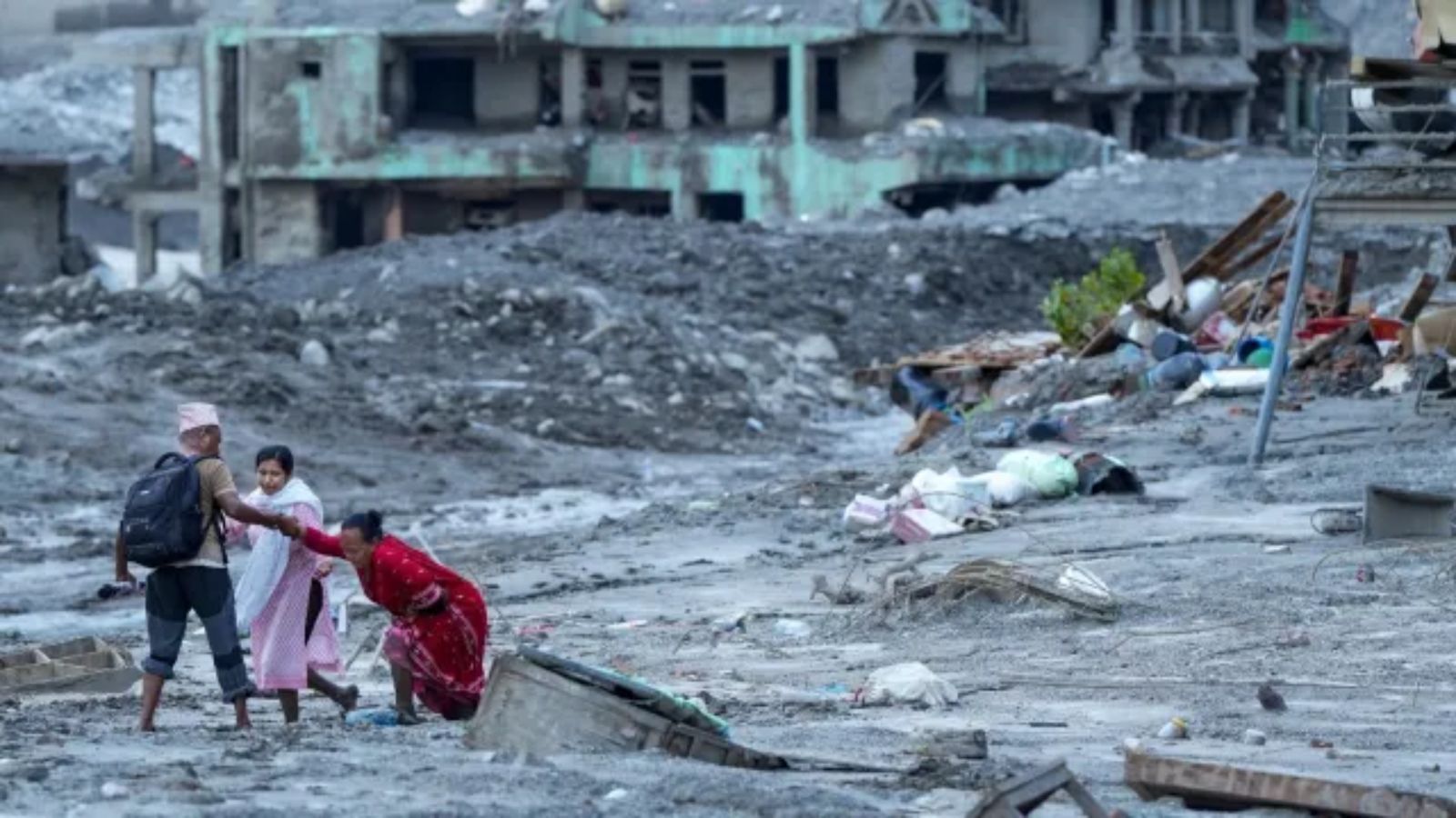
It rushed into a river and created a powerful flood of mud, water and debris.
Scientists first thought an earthquake might have caused the event, but later evidence suggested the collapse itself created the earthquake-like signal.
Mountains can become less stable when glaciers shrink and frozen ground warms.
One disaster can also trigger another, such as an avalanche causing a lake to overflow or a river to be blocked.
This means not every dangerous flood is a traditional glacial lake outburst flood.
Scientists want to use satellites, sensors and trained observers to watch risky areas.
Better warnings could give people enough time to escape and save lives.

A catastrophic flood in Nepal followed the collapse of rock and ice from Langtang Lirung.
The United States Geological Survey says the seismic signal came from the collapse and debris flow, not an earthquake.
An estimated 50–100 million cubic metres of material may have been involved, according to seismic analyses.
Experts warn that glacier retreat, permafrost degradation, avalanches and lake failures can combine into cascading disasters.
The article calls for improved satellite monitoring, sensors, hazard mapping, communications and human observation to provide earlier warnings.
- Who
- The people affected by the Nepal flood, along with scientists and disaster-management authorities studying Himalayan hazards.
- What
- A catastrophic flood followed the collapse of a large mass of rock and ice from the glaciated face of Langtang Lirung.
- Where
- The event occurred in the Nepal Himalayas and travelled down a river valley; the article also examines related risks across the Himalayas.
- When
- The disaster occurred this week, according to the article; the article also discusses earlier Himalayan disasters in 2021 and 2023.
- Why
- The collapse released enormous energy and debris into the river system, while broader glacier retreat, warming permafrost and unstable mountain slopes are increasing the potential for cascading hazards.
Initial Interpretation
Updated Assessment
Cause of the seismic signal
Initial Interpretation
Early reports suggested that an earthquake may have triggered the glacial collapse.
Updated Assessment
The United States Geological Survey assessed that the signal initially interpreted as an earthquake was generated by the glacial collapse and debris flow itself.
How the flood should be classified
Initial Interpretation
The event could be understood through the familiar framework of a glacial lake outburst flood, a common explanation for glacier-related flooding.
Updated Assessment
The article argues that the event reflects a broader class of cascading hazards and says not all Himalayan floods originate from a bursting glacial lake.
Key facts
- Main location
- Langtang Lirung in the Nepal Himalayas
- Estimated material involved
- Approximately 50–100 million cubic metres, according to specialists analysing the seismic signature
- Seismic energy
- The collapse released energy equivalent to a magnitude 5.2 earthquake
- Glacier loss
- Satellite analysis estimated an affected area roughly equivalent to 25 professional football fields
- Hazards discussed
- Glacial lake outburst floods, avalanches, debris flows, rock-and-ice collapses and permafrost degradation
- Recent comparison
- The article compares the event with the 2021 Rishiganga-Tapovan disaster and the 2023 South Lhonak disaster
- Proposed measures
- Satellite monitoring, sensors, AI-assisted analysis, downstream pathway mapping and trained upstream observers
Sources
Related news
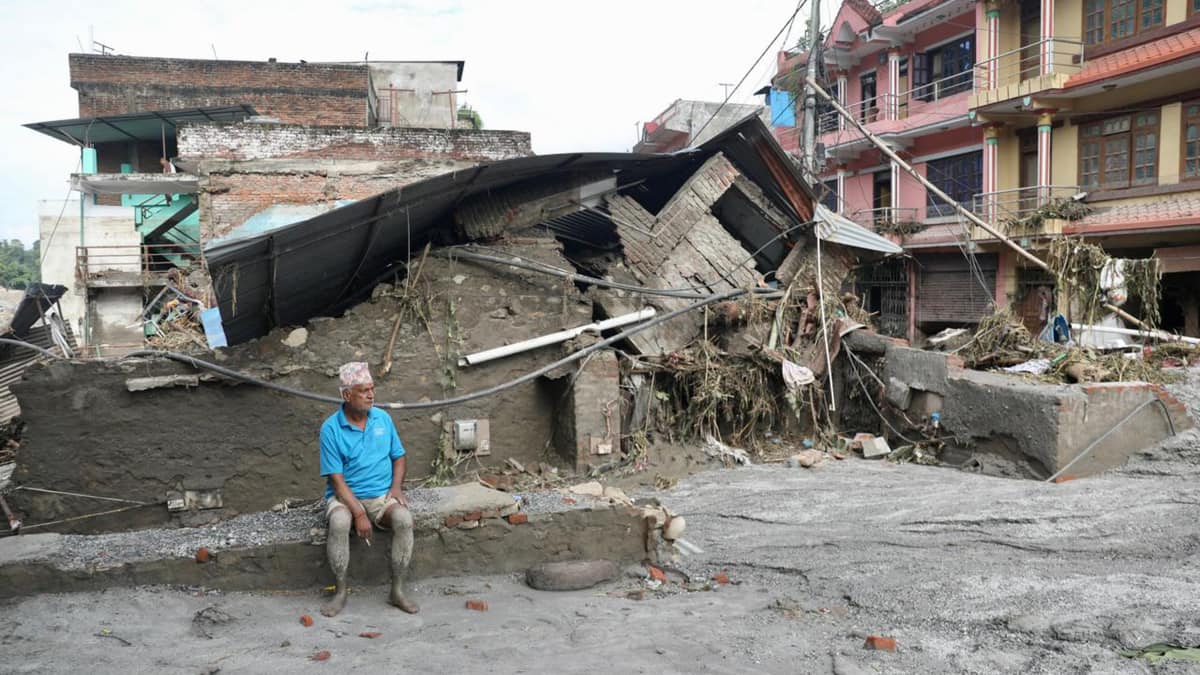
Nepal Flood Exposes Himalayan Cascading Hazard Risks

Nepal Glacier Avalanche Exposes Cascading Himalayan Disaster Risks
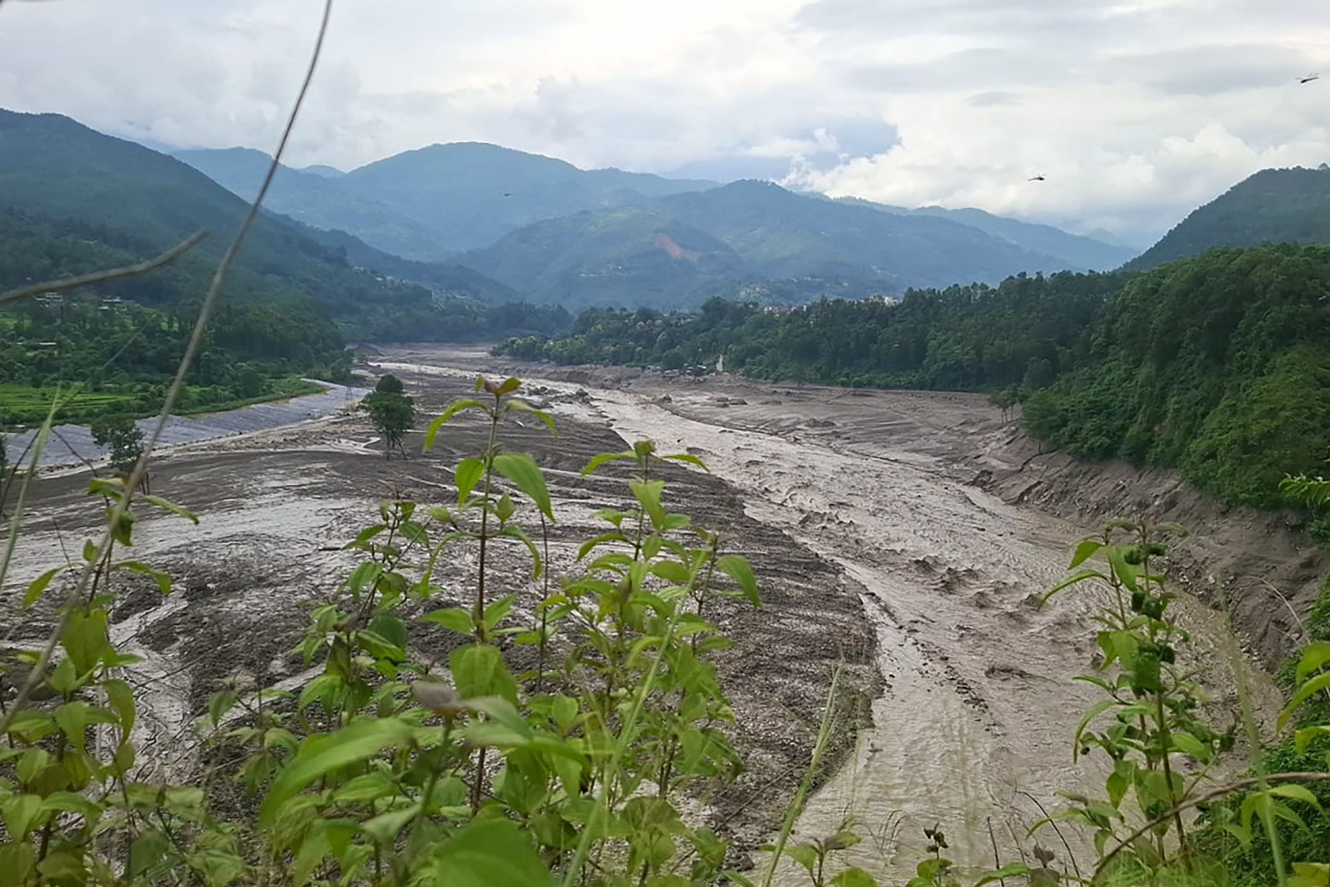
Nepal Flood Highlights Rising Glacier Risks in Warming Himalayas
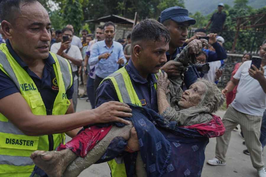
Nepal Avalanche Floods Echo Chamoli With Greater Downstream Impact

Glacier Collapse, Not Earthquake, Triggered Tibet-Nepal Border Flood
Nepal-Tibet Floods Reveal a Hidden Himalayan Chain Reaction

Nepal Thanks India as Glacial Disaster Rescue Efforts Continue
Nepal Warns of Heavy Rain After Deadly Floods
Nepal Flood Exposes Delayed Alerts and Cross-Border Warning Gaps
India to Rebuild Nepal School After Principal Saves 1,600
Maharashtra Mountaineers Join Search for Missing Nepal Trekkers
