1 hr ago
Why Himalayan Early Warning Systems Fail as Disaster Risks Rise
Disasters in the Himalayas are happening more often and with greater force.
Many warning systems are designed to detect floods from glacial lakes.
But the recent disaster began underneath solid-looking rock, so there were few visible signs.
This made it difficult for experts to know that the mountain was becoming dangerous.
Warmer temperatures may also weaken glaciers, frozen ground and loose rocks.
Experts want better satellite images, more weather stations and computer systems that can spot tiny movements.
People living downstream also need to understand and act on warnings quickly.
Local communities can help pass warnings along rivers, but this may not be enough for very large disasters.

Recent disasters in the Himalayas have become more frequent and intense, according to experts.
Existing warning systems mainly target known hazards such as glacial lake outburst floods.
The recent collapse occurred beneath rocky terrain, where warning signs were difficult to detect.
Experts called for continuous monitoring, high-resolution imagery, machine learning and denser weather-station networks.
Warnings reached about 4,000 downstream people, but experts said many did not take them seriously.
- Who
- Experts Hridayesh Joshi and Dr Farooq Azam, along with Himalayan communities and monitoring agencies, discussed the warning-system gaps.
- What
- A recent glacier- and mountain-related disaster caused floods, damaged infrastructure and exposed weaknesses in Himalayan early warning systems.
- Where
- Across the Himalayan region, including villages and infrastructure near the Nepal–China border.
- When
- The article describes the recent event and says disaster frequency and intensity have increased over the past one and a half decades.
- Why
- Warning systems focus on specific visible hazards, while some dangers develop beneath rock or involve interacting weather, geological and cryospheric processes.
Key facts
- Main warning-system gap
- Existing systems are primarily designed for glacial lake outburst floods, but the recent event involved a break below rocky terrain.
- Recent damage
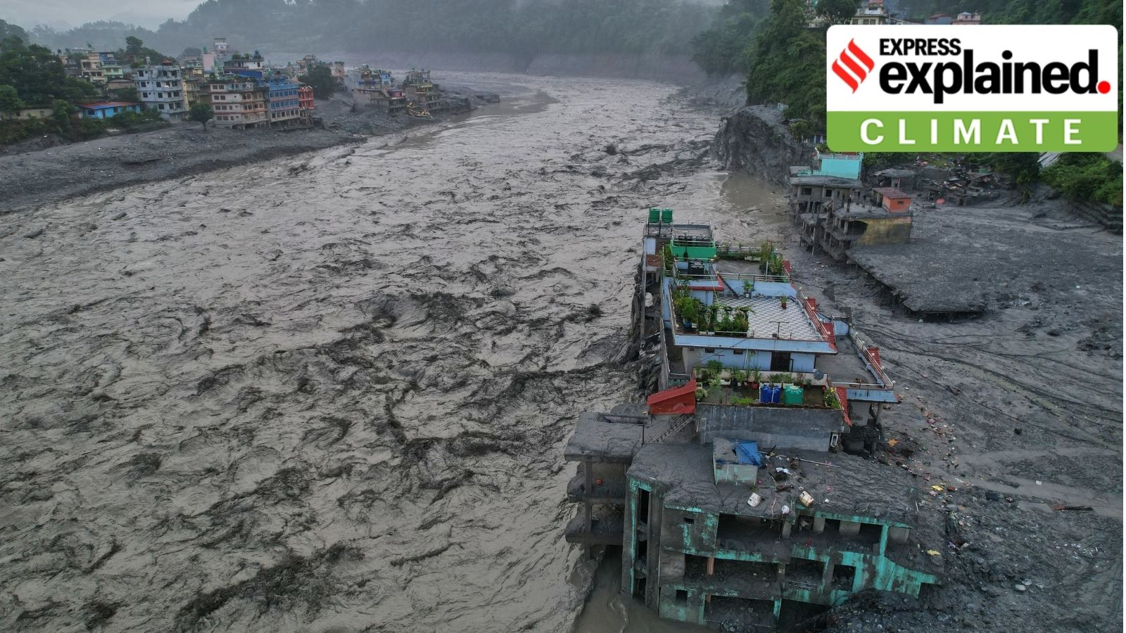
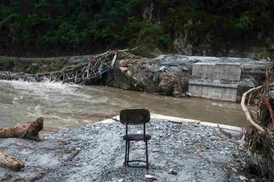
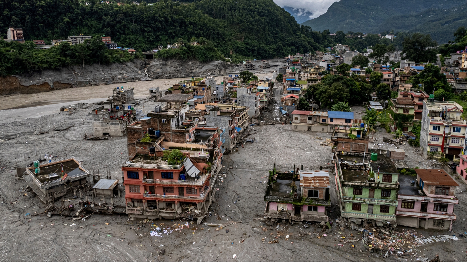
- The cascade swept through villages, damaged roads and bridges, disrupted hydropower infrastructure and destroyed thousands of structures.
- Additional flood risk
- The glacier collapse created temporary barrier lakes, complicating rescue operations and increasing flood risk.
- Warnings sent
- About 4,000 messages were sent to people downstream during the recent event.
- Monitoring needs
- Experts called for high-resolution imagery, continuous monitoring, machine-learning models and more weather stations.
- Climate-related risks
- Warming may contribute to glacier retreat, exposed loose debris and degradation of high-altitude permafrost.
- Community response
- Upstream communities can warn downstream residents when river levels rise, though such systems may not be sufficient during extreme events.
Quotes
Hridayesh Joshi
Visiting Writer at Carbon Copy
“It is very clear that the frequency and intensity of the disasters have increased in the last one and a half decades. The series of disasters in Kedarnath, Chamoli or the subsidence in Joshimath or Dharali and now Nepal serve as a warning for us.”
 businesstoday.in
“Early warning is very difficult in such cases. At the moment, these EWS systems are mostly designed for GLOF. But here there was no lake. The breaking point was below the rocky surface.”
businesstoday.in
Sources
Related news
Nepal Flood Exposes Gaps in Himalayan Early Warnings
Nepal’s Sudden Ice Collapse Exposes Gaps in Flood Warnings

Nepal Glacier Disaster Exposes India’s Himalayan Risk-Planning Challenge
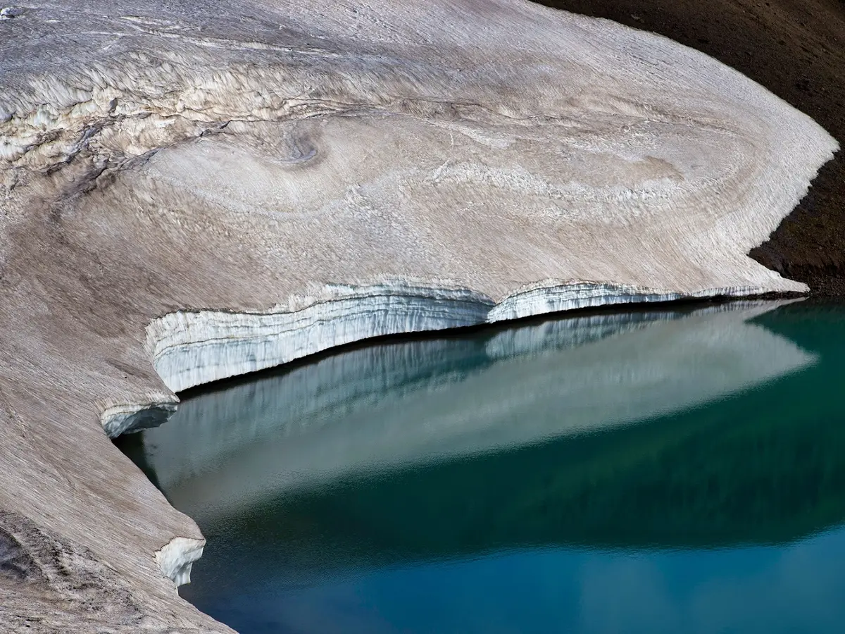
Himachal Pradesh Identifies 67 Vulnerable Glacial Lakes, Plans Warnings
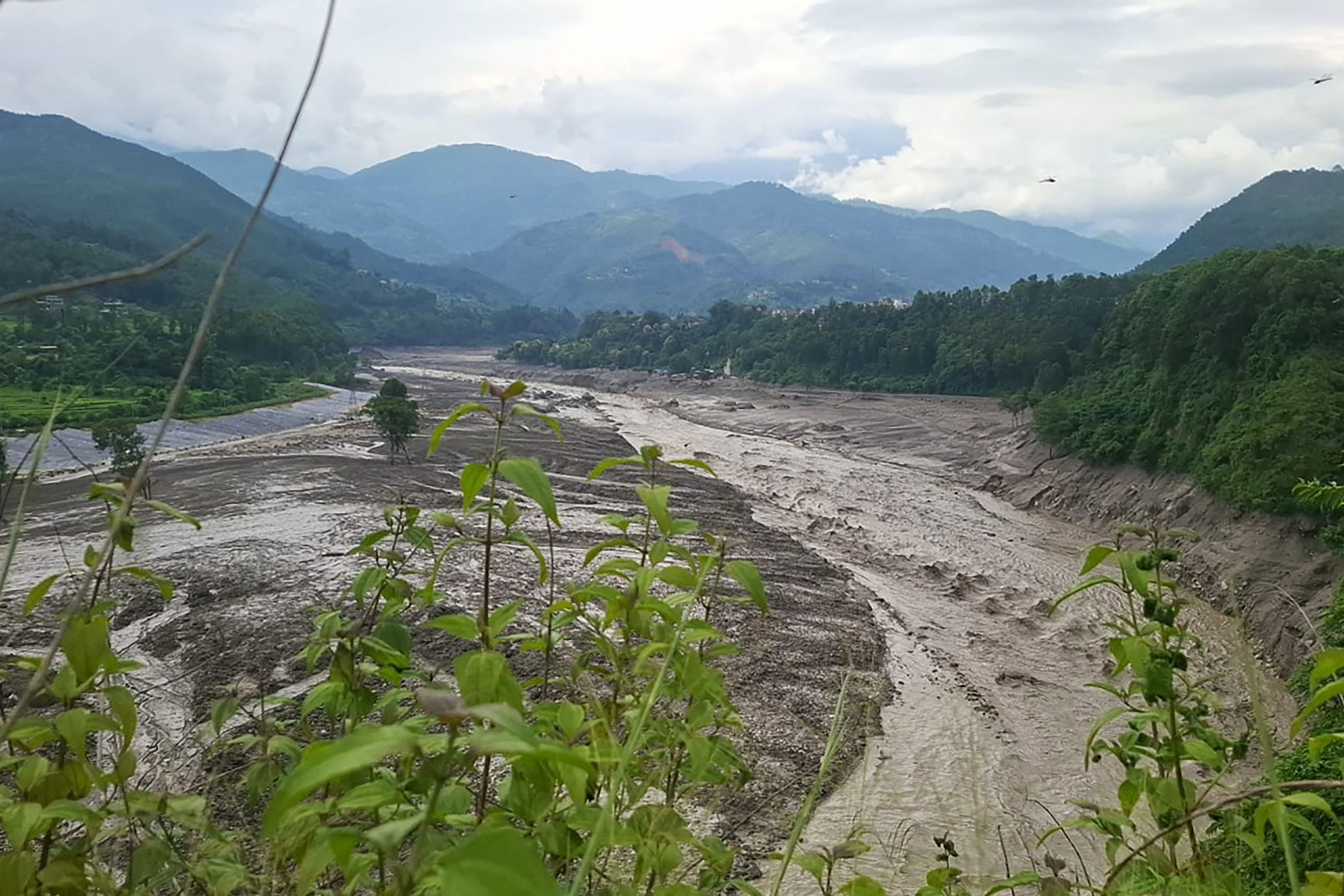
Nepal Flood Highlights Rising Glacier Risks in Warming Himalayas
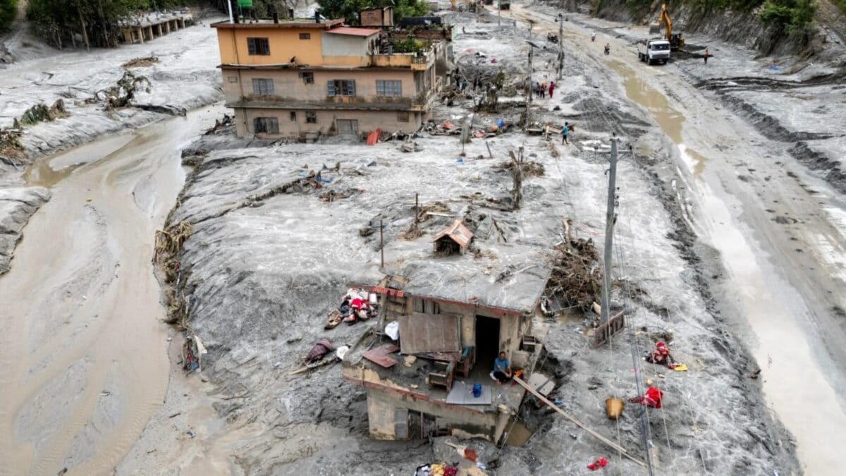
Nepal Flood Exposes 38-Minute Warning and Cross-Border Gaps
India Approves Four-Laning Highway Project Near Siliguri Corridor

India Sends More Relief Supplies to Flood-Hit Nepal

Why Passports Usually Come in Red, Blue, Green, or Black
Nepal Floods: Some Tourists Reconnect as Thousands Remain Missing