1 hr ago
Tibetan Glacier Instability Raises Risk Of Deadly Floods

Glaciers are large areas of ice found in cold mountains.
Scientists say many glaciers on the Tibetan Plateau are shrinking and becoming less stable.
When ice and rocks suddenly fall, they can create huge floods and mudslides.
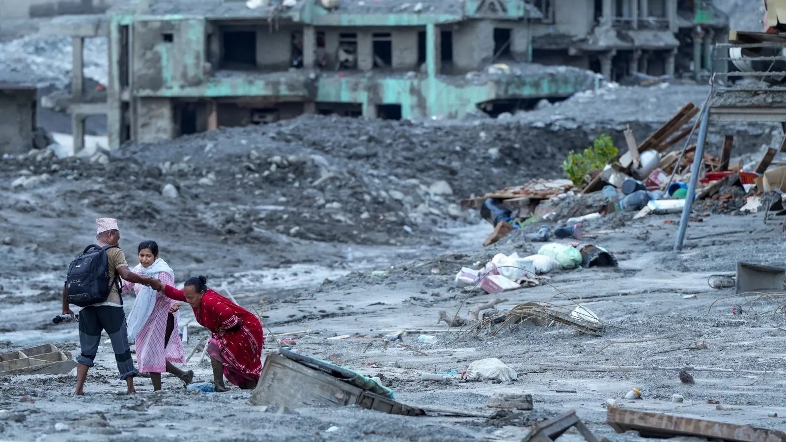
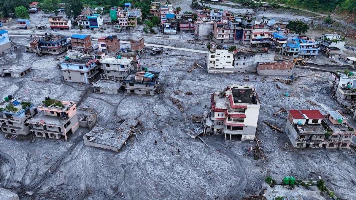
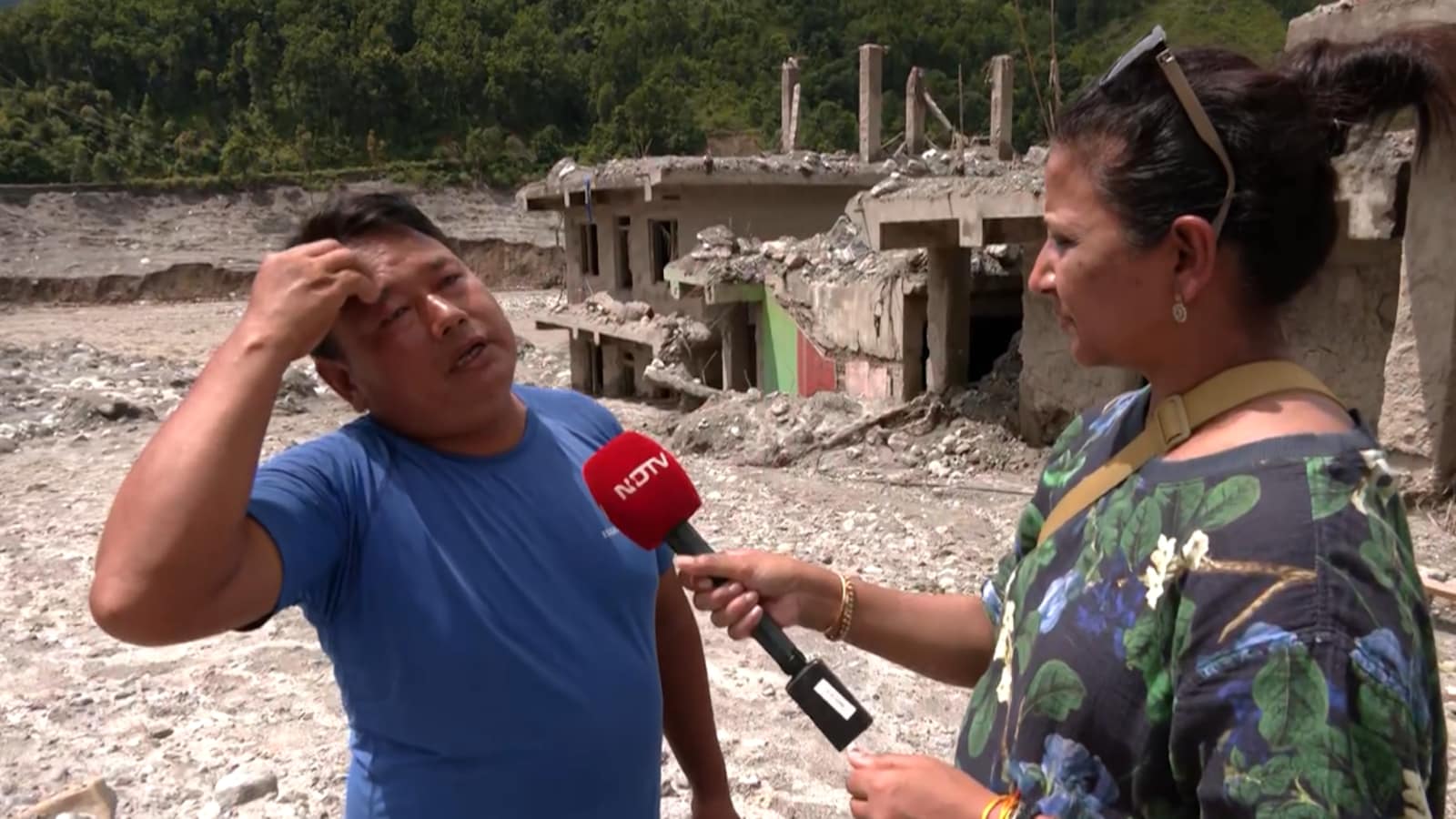
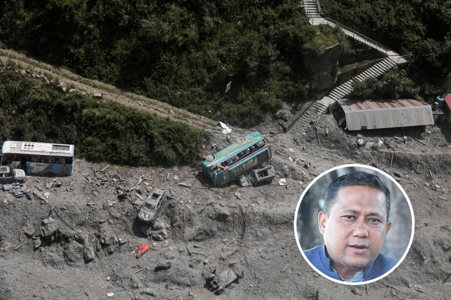
One such event near Nepal and Tibet recently destroyed communities and killed many people.
The moving debris traveled 22 kilometers in only seven minutes.
Researchers say it is not enough to measure how much material first falls from a mountain.
They also need to estimate how much more debris the flow can collect on its way downhill.
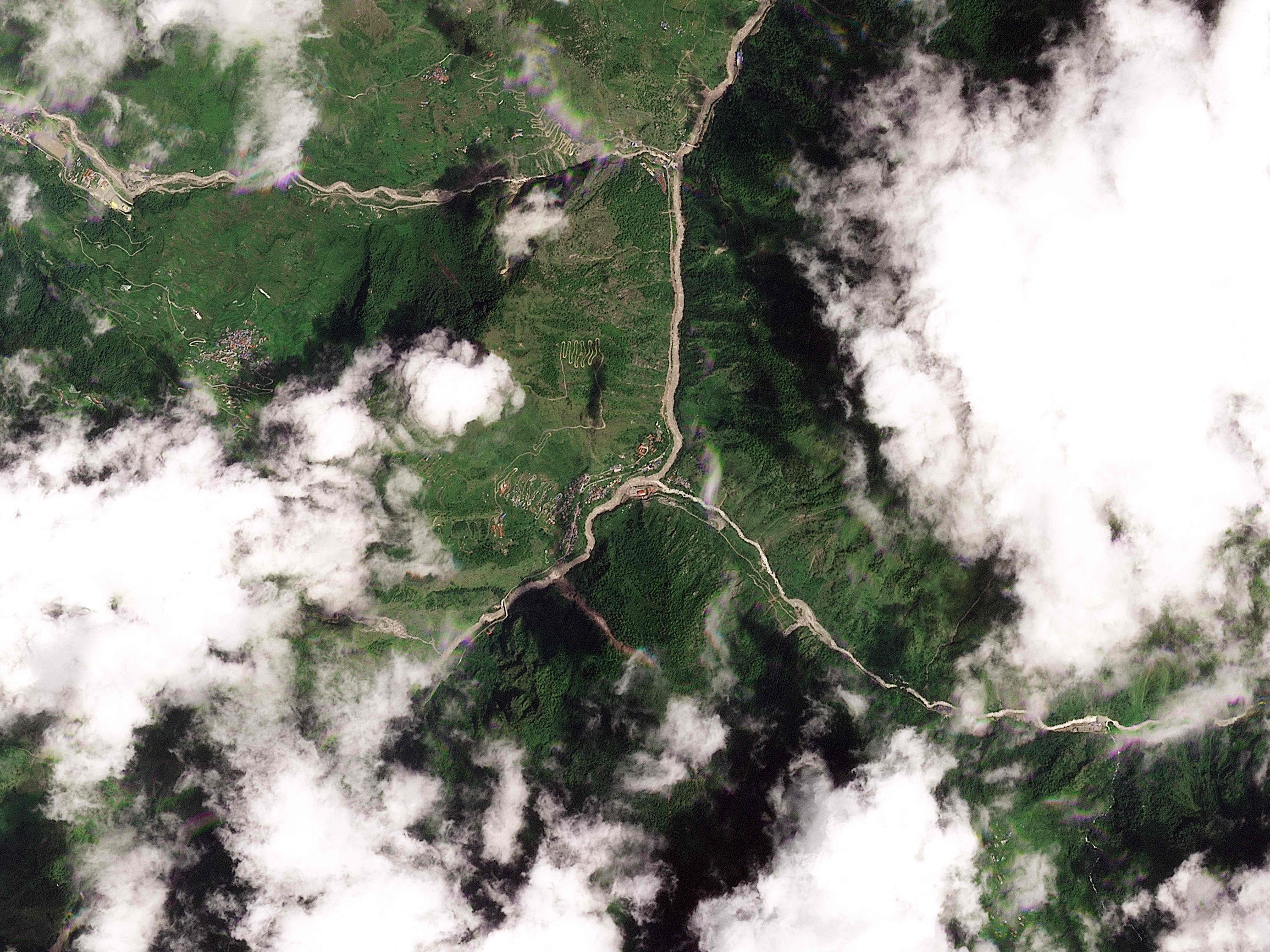
Scientists want better satellite systems to watch dangerous changes and warn people sooner.

Chinese officials warn that shrinking glaciers on the Tibetan Plateau may become increasingly unstable and trigger more destructive flash floods.
The plateau has lost about 24% of its glacier area and roughly 7,000 small glaciers over the past 60 years.
An ice-rock avalanche near the Nepal-Tibet border on August 26 generated a mudslide that traveled 22 kilometers in seven minutes.
Officials reported 21 deaths and 541 missing on the Tibet side, while Nepal’s flood death toll reached 1,252.
Scientists recommend risk assessments that measure downstream debris buildup and exposure, alongside integrated satellite monitoring of glacier and rock-slope movement.
- Who
- Chinese climate officials and researchers, including Gao Rong, warned about increasing glacier instability; Manoochehr Shirzaei called for improved monitoring.
- What
- Scientists warned that unstable Tibetan Plateau glaciers could cause more frequent cascading disasters and urged broader risk assessments and integrated monitoring.
- Where
- The avalanche occurred near the Nepal-Tibet border, affecting Gyirong Port on the Tibet side and communities in northern and central Nepal.
- When
- The deadly avalanche occurred on August 26, 2026; the warnings and reported casualty figures followed in the subsequent days.
- Why
- Glacier shrinkage and structural weakening may increase collapses, while ice, rock, water and debris can grow into destructive flows as they move downstream.
Expanded Warning And Monitoring
Conventional Assessment Limits
How disaster risk should be measured
Expanded Warning And Monitoring
Chinese researchers argue that assessments must include valley bulking potential—the extra debris a flow gathers downhill—and the people and infrastructure exposed downstream.
Conventional Assessment Limits
Traditional assessments have focused more heavily on the initial volume of material collapsing from the mountain, which researchers say can underestimate the eventual hazard.
How hazards should be detected
Expanded Warning And Monitoring
Scientists advocate integrated satellite monitoring that tracks glacier and rock-slope deformation and links it to downstream flood and avalanche models.
Conventional Assessment Limits
Existing systems can miss sudden glacier-rock failures because they often rely on signals such as extreme rainfall or rising glacial lakes.
Key facts
- Glacier loss
- The Tibetan Plateau has lost about 24% of its glacier area over 60 years.
- Small glaciers disappeared
- About 7,000 small glaciers have disappeared during the same period.
- Avalanche date
- The ice-rock avalanche occurred on August 26, 2026.
- Flow distance and speed
- The resulting mudslide traveled 22 kilometers and reached Gyirong Port in seven minutes.
- Tibet-side casualties
- Chinese officials reported 21 deaths and 541 missing at Gyirong Port.
- Nepal death toll
- Nepal’s reported death toll from the floods rose to 1,252.
- Recommended monitoring
- Researchers called for regional satellite systems connecting glacier and rock-slope deformation data with flood and avalanche modeling.
Quotes
Gao Rong
Deputy director of China’s National Climate Centre
“Looking ahead, the structural stability of glaciers across the Tibetan Plateau will decline further. Glacial disasters are likely to become more frequent and could amplify in destruction and reach through cascading effects”
 rediff.com
Manoochehr Shirzaei
Geophysicist at Virginia Tech
“What is still largely missing is a regional satellite-based system that routinely searches for accelerating glacier and rock-slope deformation and then connects that information directly to downstream flood and avalanche modelling”
rediff.com
Sources
Related news

Nepal Floods Spur Calls for Glacier Assessments and Land-Use Reform

Glacier Collapse, Not Earthquake, Triggered Tibet-Nepal Border Flood

Nepal Glacier Collapse Exposes Rising Himalayan Flash-Flood Risks

China Links Nepal-Tibet Flood Disaster to Glacier Collapse
China, Nepal Link Glacier Collapse to Deadly Border Floods
Glacier Collapse May Have Triggered Deadly Nepal Flood
Nepal Seeks Climate Compensation as Flood Rescue Operations Continue
Nepal Flood Survivor Describes Escape Through Darkened Hydropower Tunnel

91-Year-Old Woman Rescued Alive After Nepal Flash Floods
Nepal Calls Bhotekoshi Floods Himalayan Tsunami as Toll Rises