6 days ago
Nepal Flood Exposes Himalayan Cascading Hazard Risks
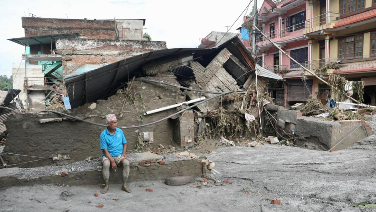
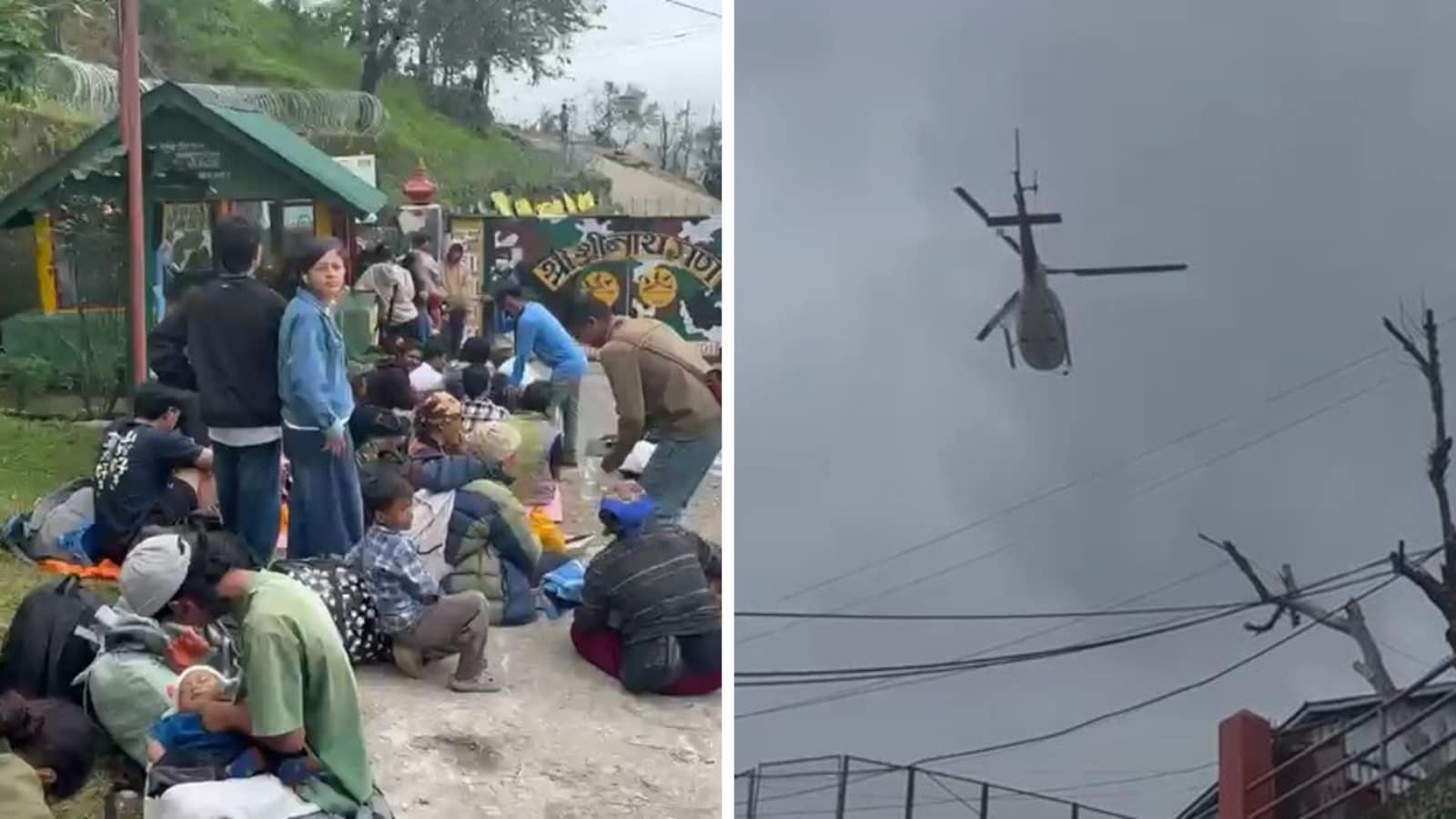
A very large flood hit northern Nepal near the border with Tibet.
At least 157 people died, and many others were missing.
Some of the missing people were tourists from Nepal and other countries.
Scientists think a large piece of ice and rock broke away high in the mountains.
The falling material may have blocked a river like a temporary dam.
Water built up behind it and then rushed downstream when the blockage failed.
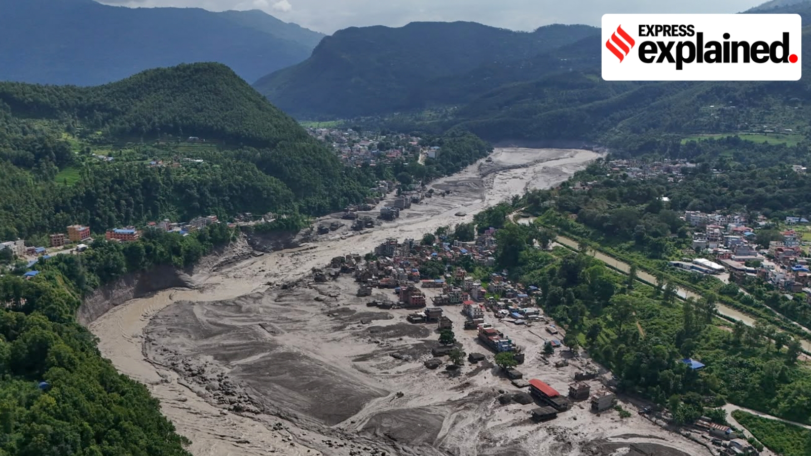
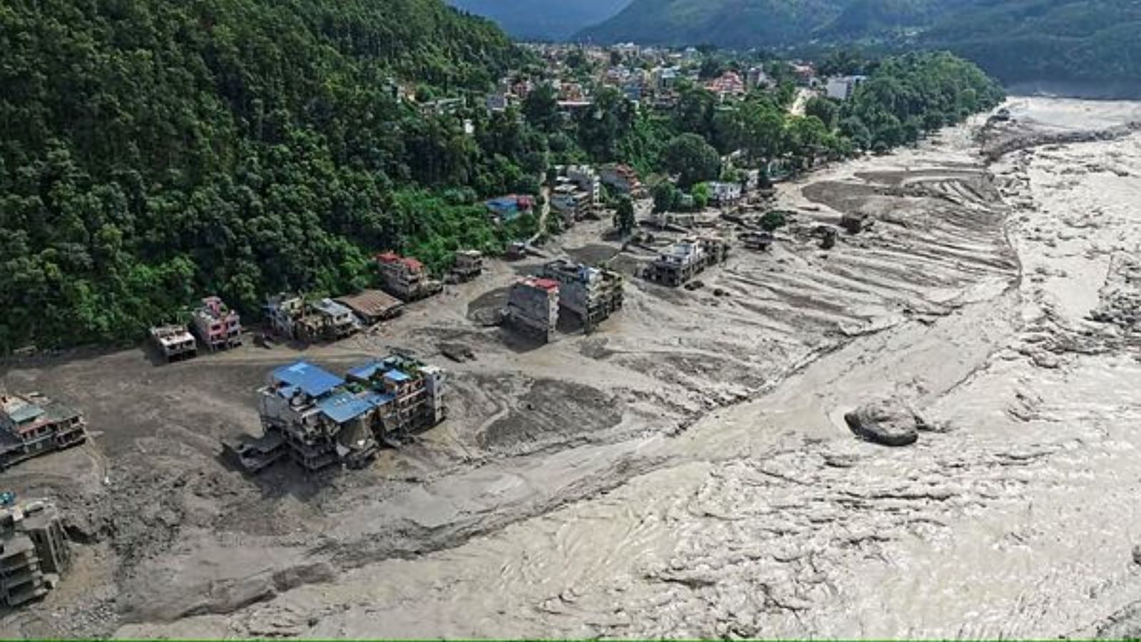
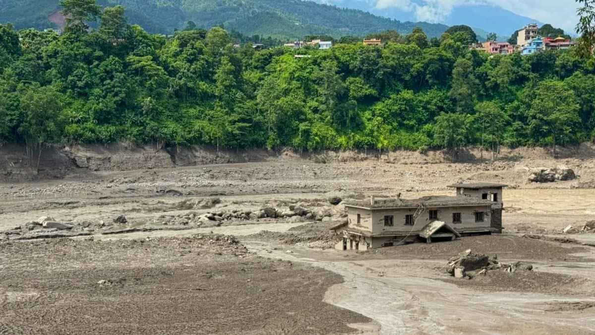
The rushing water carried mud, rocks, buildings and vehicles.
Experts call this a cascading hazard because one dangerous event caused another.
They say communities need better mountain monitoring and faster warnings, but the exact cause and the role of climate change are still being studied.

At least 157 people died in northern Nepal, while hundreds remained missing, including at least 34 Australians.
Nepal’s tourism ministry reported 403 tourists unaccounted for, including 341 foreign nationals.
Satellite imagery suggests an ice-and-rock collapse triggered an avalanche that may have blocked a river before releasing a destructive surge.
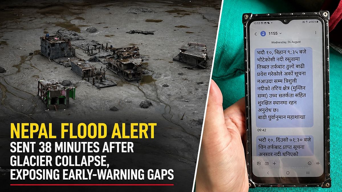
The Trishuli River rose as much as nine metres in 30 minutes, while floods damaged bridges, roads, homes and monitoring stations.
Experts say the disaster highlights the need to monitor glaciers, unstable slopes, glacial lakes and rivers, and to improve cross-border warnings.
- Who
- Residents and tourists in northern Nepal were affected; Nepalese authorities, scientists and disaster specialists are investigating.
- What
- A catastrophic flash flood and debris surge killed at least 157 people and left hundreds missing, apparently after a high-altitude ice-and-rock collapse.
- Where
- The event began in the Himalayan region near the Nepal-China border and moved through the Lhende Khola, Bhote Koshi and Trishuli river systems, including Rasuwa, Nuwakot and Dhading.
- When
- The flooding began at about 9 a.m. local time on Wednesday; the articles do not provide a calendar date.
- Why
- Early evidence suggests an ice-rock avalanche may have blocked a river, allowing water to accumulate before the temporary blockage failed and released a sudden downstream surge.
Evidence Supporting a Mountain-Triggered Cascade
Areas Requiring Further Confirmation
Primary cause of the flood
Evidence Supporting a Mountain-Triggered Cascade
Satellite imagery and hydrology assessments point to a glacier collapse, an ice-rock avalanche and a possible temporary river blockage that released a surge.
Areas Requiring Further Confirmation
Experts say the precise trigger and sequence remain under investigation, and the temporary-dam explanation has not yet been confirmed.
Role of rainfall and climate change
Evidence Supporting a Mountain-Triggered Cascade
The reported absence of heavy rainfall beforehand supports the view that the flood was not an ordinary rain-driven event; changing mountain conditions may increase cryosphere-related risks.
Areas Requiring Further Confirmation
The articles say it is too early to determine what role climate change played, and they caution that not every Himalayan flood lacks a rainfall connection.
How warnings should work
Evidence Supporting a Mountain-Triggered Cascade
Experts argue that warnings should monitor glaciers, unstable slopes, glacial lakes, seismic signals, landslide dams and rivers, with upstream communities sharing information downstream.
Areas Requiring Further Confirmation
Satellite and seismic monitoring can help, but reliable rapid warnings remain difficult because remote terrain may have sparse infrastructure and unreliable communications.
Key facts
- Reported deaths
- At least 157 people
- Tourists unaccounted for
- 403, including 341 foreign nationals
- Australians feared missing
- At least 34
- River-level rise
- The Trishuli River reportedly rose as much as nine metres within 30 minutes at one monitoring point
- Glacier collapse
- Satellite imagery indicated that a large section broke away at about 5,200 metres and fell more than 1,200 metres
- Infrastructure damage
- At least 19 motorable bridges and about 40 kilometres of roads were damaged or washed away
- Seismic signal
- The event was initially reported as magnitude 4.4; the United States Geological Survey later attributed it to glacial collapse and debris flow, said no earthquake occurred, and revised the seismic-event magnitude to 5.2
Quotes
Neera Shrestha Pradhan
Water and disaster risk reduction lead at the International Centre for Integrated Mountain Development
“The Lhende Khola has flooded twice in 14 months, this time most probably triggered by an ice avalanche that blocked the river and released a sudden surge downstream. This still needs to be confirmed, as we receive further information. These are cascading hazards: a cryosphere event becomes a flood in a settlement within hours.”
 firstpost.com
“a cross-border early warning system could be a strong example of cooperation between the two countries”
firstpost.com
Sources

Related news
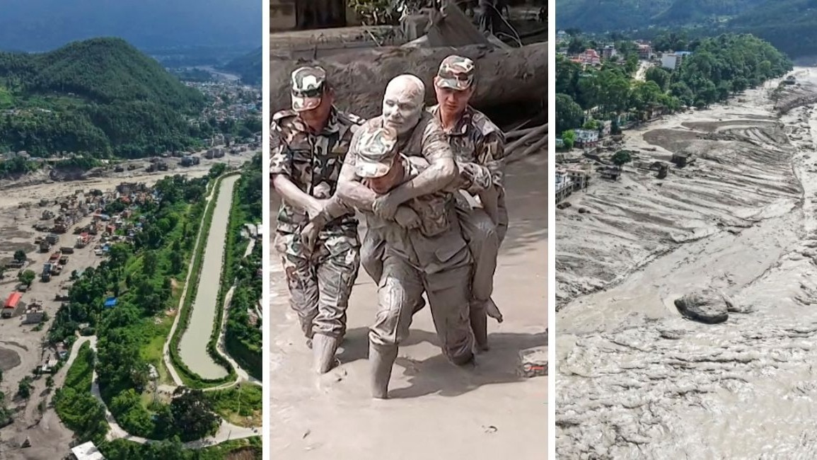
Nepal-Tibet Floods Reveal a Hidden Himalayan Chain Reaction

Nepal Glacier Avalanche Exposes Cascading Himalayan Disaster Risks
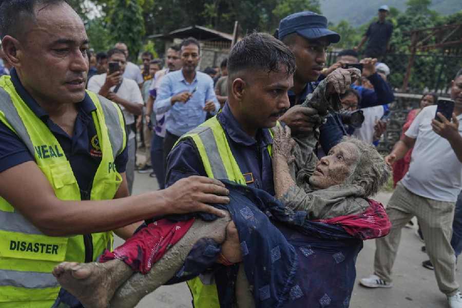
Nepal Avalanche Floods Echo Chamoli With Greater Downstream Impact
Nepal Flash Flood Echoes Himalayan Disasters, Signals Future Risks
Scientists Suspect Ice-Rock Avalanche Triggered Deadly Nepal Floods
Nepal Disaster Highlights Growing Complexity of Himalayan Hazards

Nepal Thanks India as Glacial Disaster Rescue Efforts Continue
Nepal Warns of Heavy Rain After Deadly Floods
Nepal Flood Exposes Delayed Alerts and Cross-Border Warning Gaps

Bhotekoshi Flood Crisis: Nepal PM Shah Calls for Courage

Nepal PM Thanks India, China Amid Climate Compensation Demand