6 days ago
Why Nepal Remains Vulnerable to Glacial Floods and Earthquakes
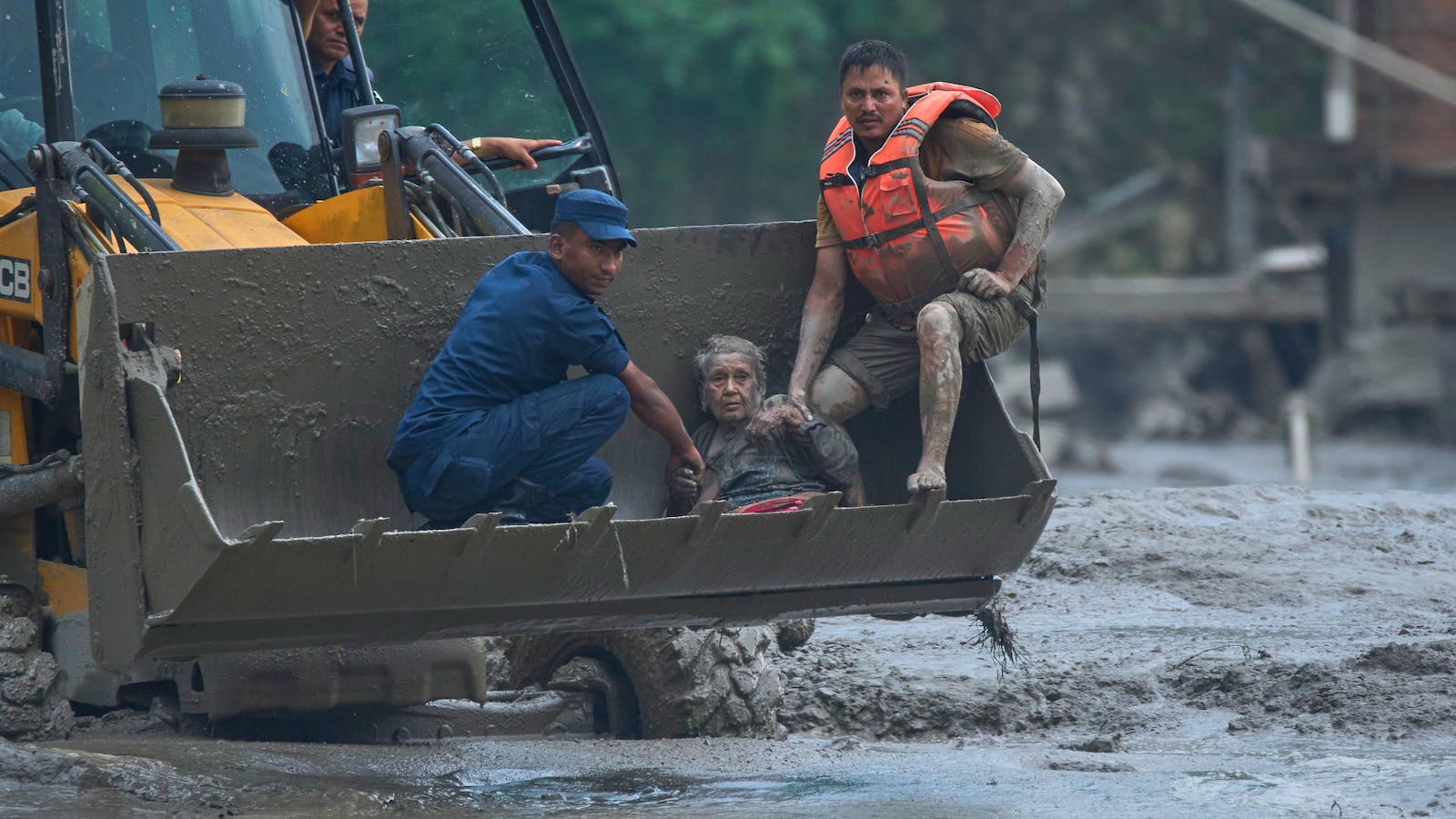
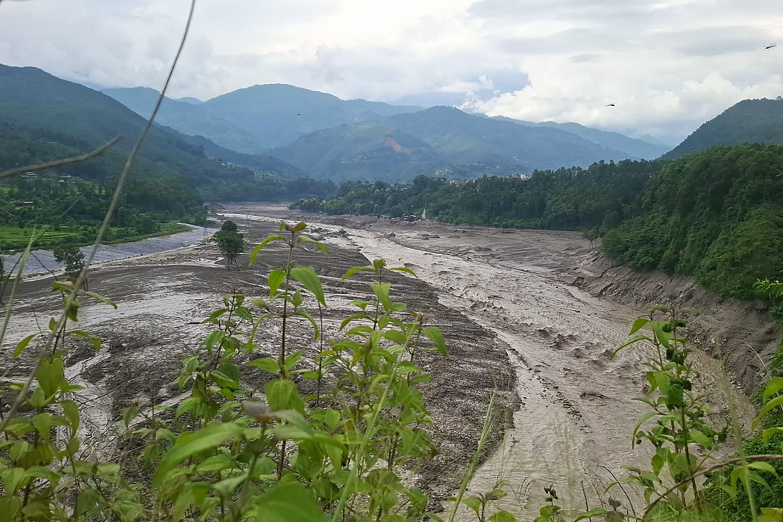
A huge wave of water suddenly rushed through a river valley in northern Nepal.
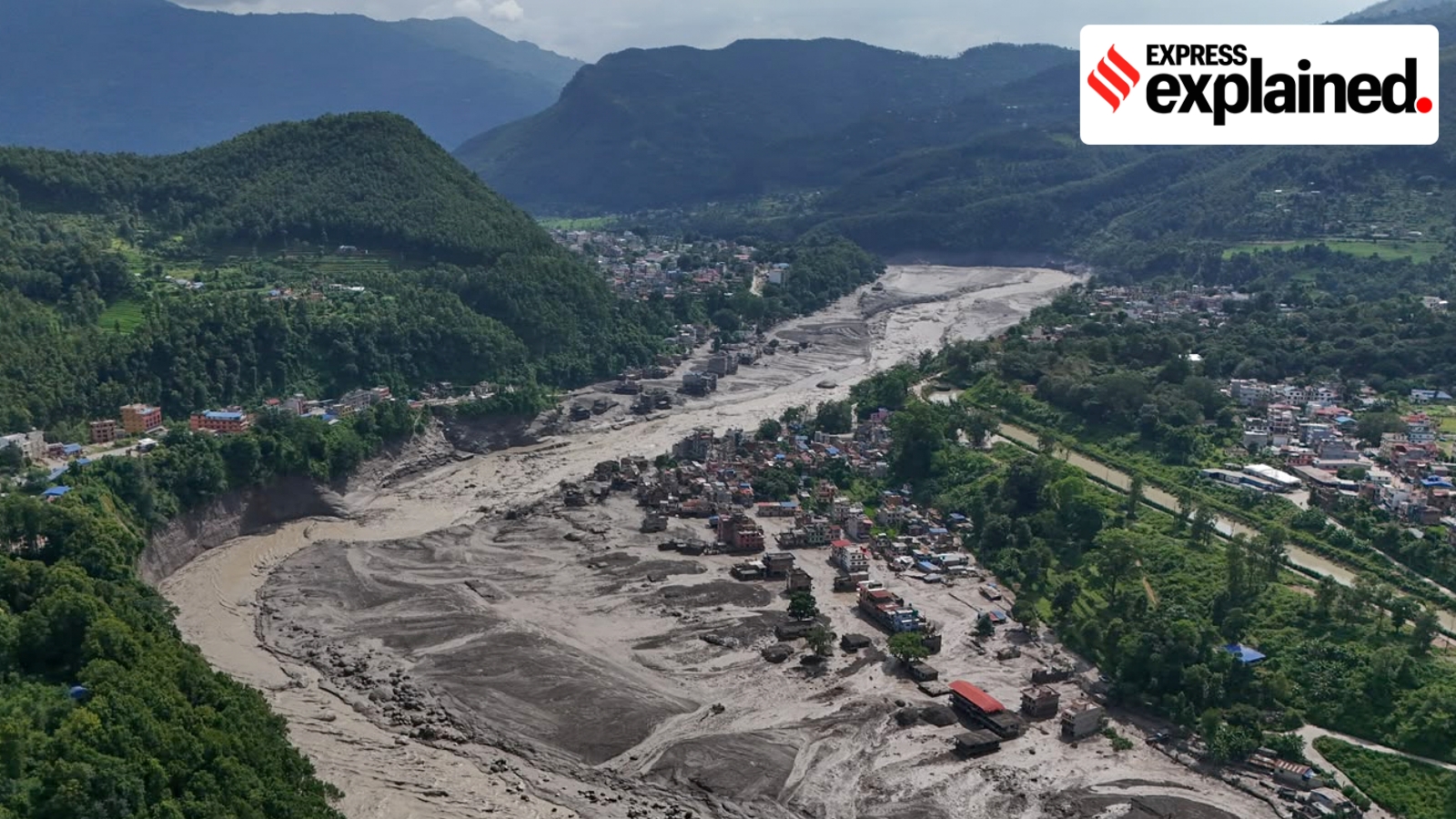
It destroyed homes, roads and a bridge near the border with Tibet, China.
About 100 people were reported dead, and many others were missing.
Scientists think rocks and ice blocked a river before the water broke through.
A small earthquake may have helped trigger the blockage, although scientists are still studying what happened.
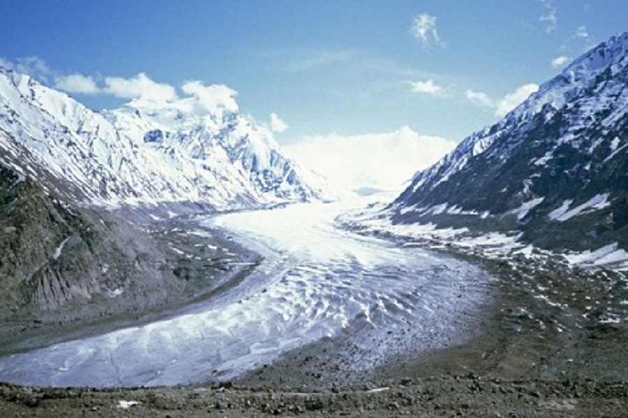
Warmer temperatures are melting Himalayan glaciers and creating unstable lakes.
Nepal also sits where two giant pieces of Earth’s crust are constantly pushing together, causing earthquakes and landslides.
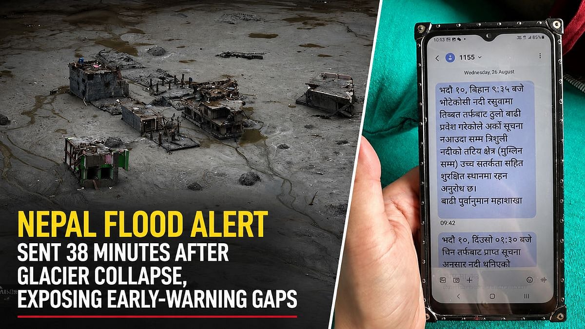
The country does not yet have a reliable real-time warning system for floods coming from Tibet.
Buildings, roads, border facilities and hydropower plants in narrow valleys can make the damage worse.

A sudden flood on August 26 killed about 100 people and left roughly 400 missing in Nepal’s Rasuwa district.
The flood followed a blockage on the Lhende Khola or Bhote Koshi river system that later collapsed and released stored water.
Preliminary accounts link the blockage to either a magnitude 4.4 earthquake-triggered landslide or an ice-and-rock avalanche.
Glacial ice loss, unstable lakes, earthquakes and limited cross-border warnings increase Nepal’s exposure to sudden floods.
The disaster destroyed border infrastructure and removed 430 megawatts from Nepal’s electricity grid.
- Who
- Residents, travelers and workers in Nepal’s Rasuwa district and downstream areas were affected; Nepalese officials and scientists are investigating the cause.
- What
- A sudden flood surged through the Lhende Khola and Bhote Koshi river system, killing about 100 people, leaving roughly 400 missing and destroying infrastructure.
- Where
- The disaster began near the Nepal-Tibet border in Rasuwa district and spread downstream through the Bhote Koshi and Trishuli river systems.
- When
- The flood began at about 9 a.m. on August 26; the triggering earthquake was recorded at 8:37 a.m. local time.
- Why
- Preliminary explanations involve an earthquake-triggered landslide or an ice-and-rock avalanche blocking a river before the blockage failed; glacier melt, unstable lakes and development in flood-prone valleys increase the danger.
Key facts
- Reported casualties
- About 100 people were dead and roughly 400 were missing by the evening.
- Earthquake
- The United States Geological Survey recorded a magnitude 4.4 earthquake about 47 kilometers north of Gosainkunda in Tibet.
- Glacial-lake inventory
- A 2020 inventory listed 3,624 glacial lakes in the Koshi, Gandaki and Karnali basins.
- Potentially dangerous lakes
- The inventory identified 47 potentially dangerous lakes: 25 in Tibet, 21 in Nepal and one in India.
- Historical floods
- The World Bank counted 24 major outburst floods in Nepal’s history, including 14 originating in Nepal and 10 in Tibet.
- Infrastructure impact
- The flood destroyed border facilities and caused Nepal’s national grid to lose 430 megawatts.
- Cross-border warnings
- Nepal still lacks a real-time alert system for glacial-lake outburst floods originating across the border in Tibet.
Quotes
Nitesh Khadka and research collaborators
Researchers studying glacial lake outburst flood risks in the China-Nepal region
“GLOFs have cross-border effects, impacting (around) 103 km of China-Nepal highway, 103 bridges, two major dry ports and 3,301 buildings in both countries.”
 NDTV
NDTV
Sources
Related news

Nepal Flash Floods Expose Glacier Risks Amid Climate Concerns
Nepal Flash Flood Echoes Himalayan Disasters, Signals Future Risks
Glacial Floods Expose the Growing Himalayan Disaster Threat

Nepal Floods Expose Climate, Geological, and Planning Risks
Nepal Flood Highlights Rising Glacier Risks in Warming Himalayas

Nepal’s Glacial Lakes Raise Alarms Along Vulnerable River Corridors

Nepal Thanks India as Glacial Disaster Rescue Efforts Continue
Nepal Warns of Heavy Rain After Deadly Floods
Nepal Flood Exposes Delayed Alerts and Cross-Border Warning Gaps

Bhotekoshi Flood Crisis: Nepal PM Shah Calls for Courage

Nepal PM Thanks India, China Amid Climate Compensation Demand