4 days ago
ISRO Images Link Nepal-Tibet Floods to Glacier Collapse

A major flood struck the Himalayan region near Nepal and Tibet.
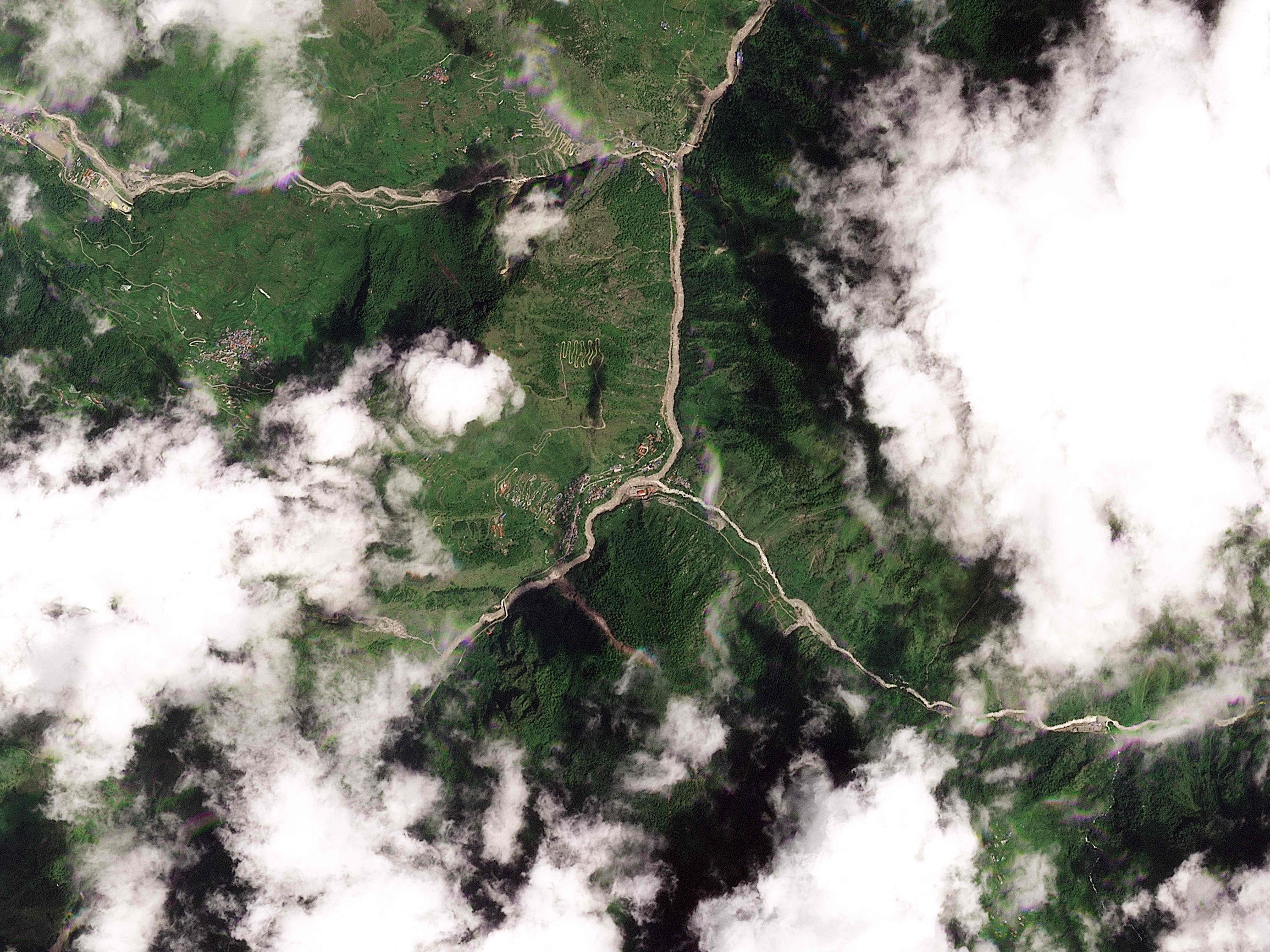
Scientists are studying satellite pictures to understand what happened.
At first, they thought an earthquake might have caused the flooding.
New evidence points instead to a glacier collapsing.
The collapse may have sent rocks, mud, and water downhill.
This created a dangerous debris flow and flash floods.
The floods caused serious destruction in the border region.
Investigators are using the images to reconstruct the event.

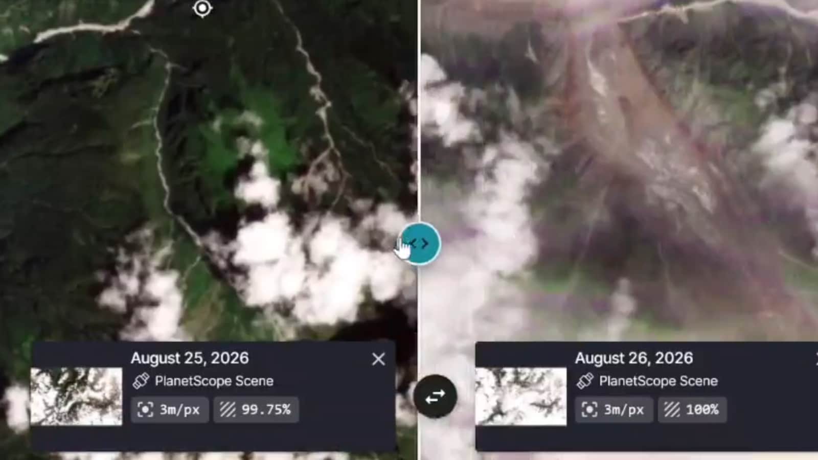
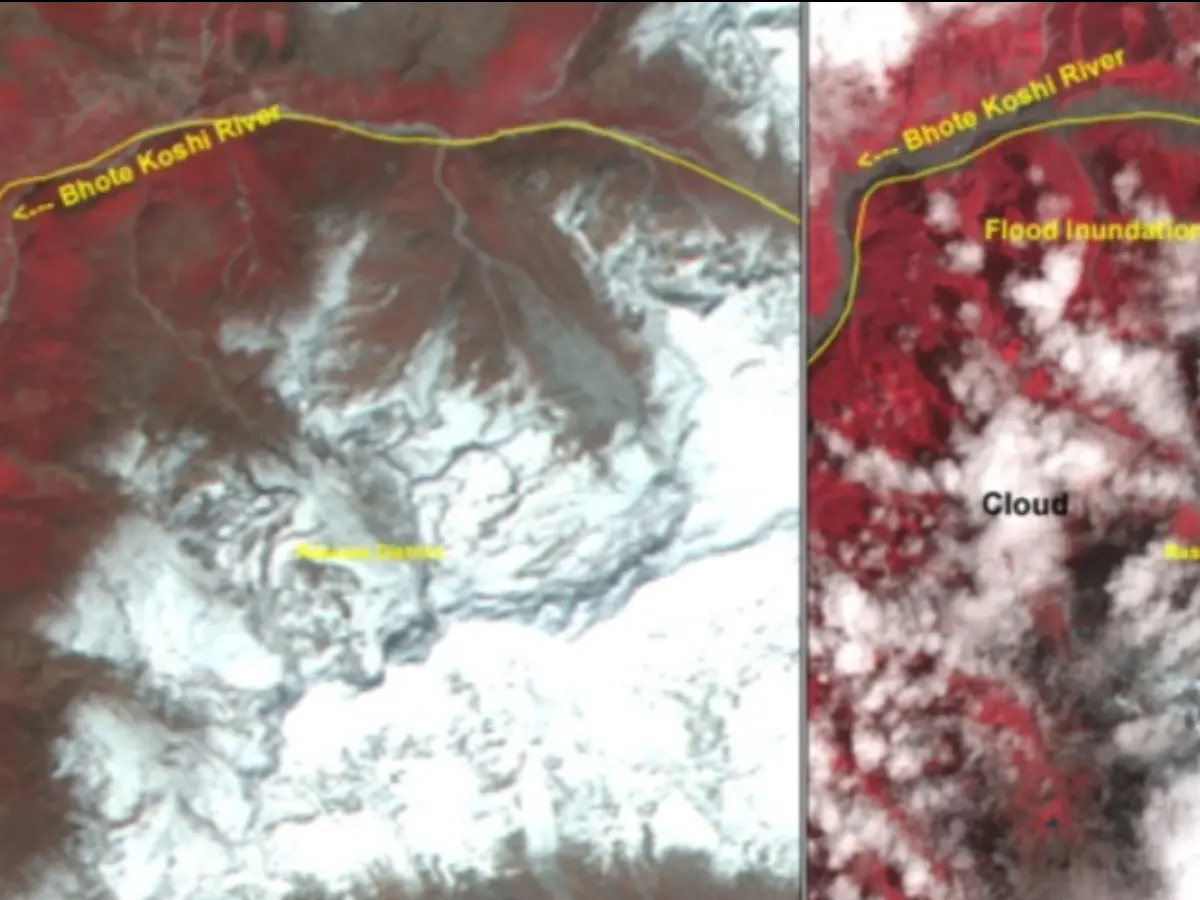
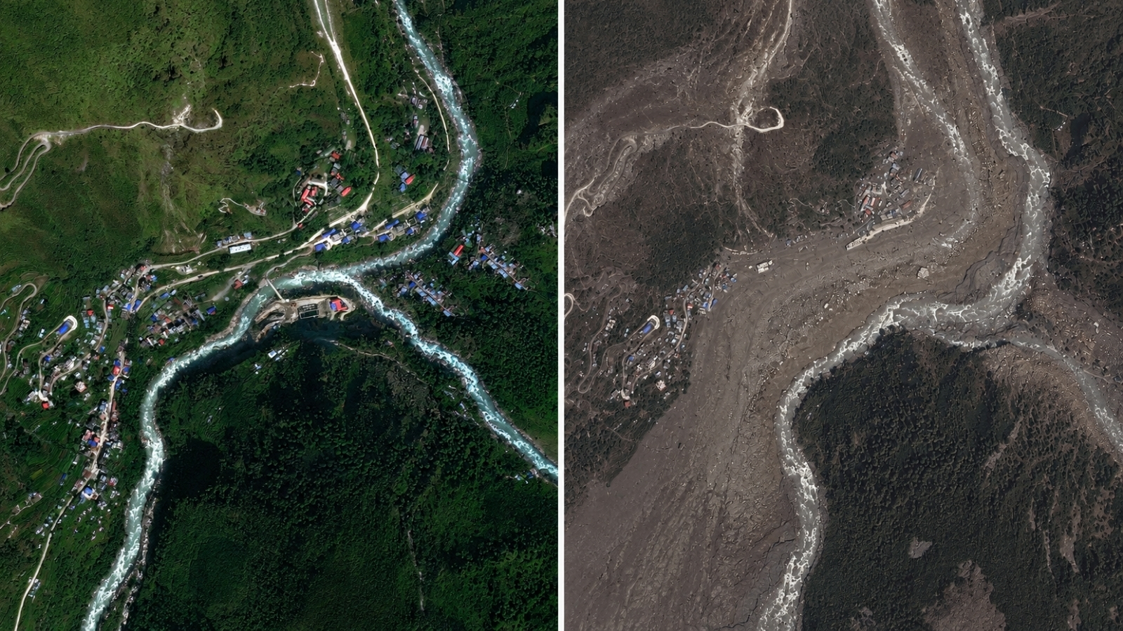
ISRO satellite images are revealing the scale and sequence of the Nepal-Tibet floods.
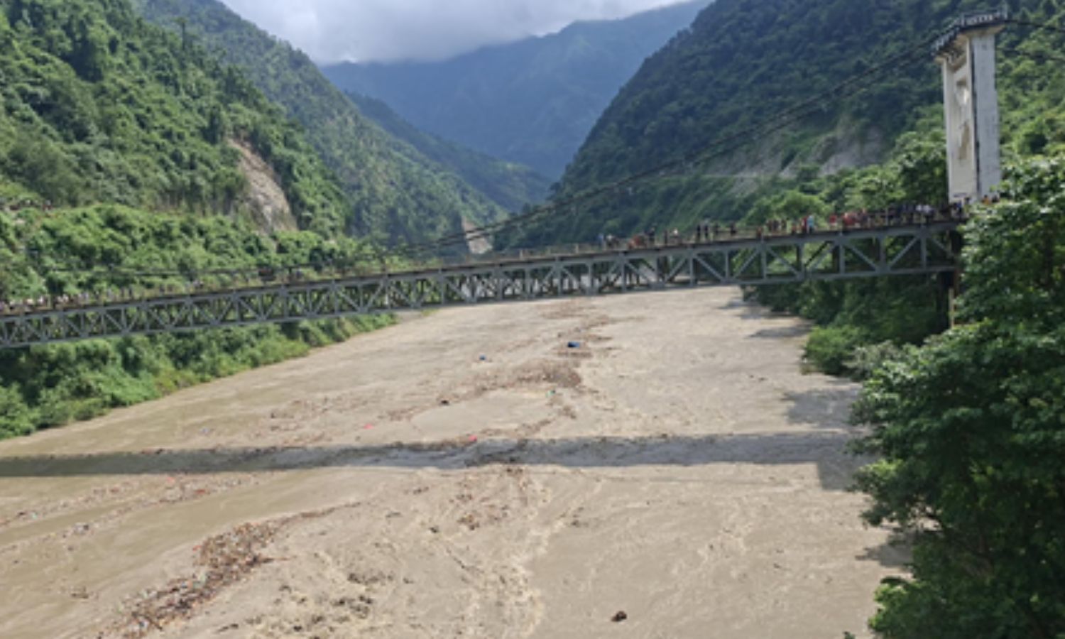
The floods caused devastation across the Himalayan border region.
Investigators initially considered an earthquake as a possible cause.
The investigation has shifted toward glacial collapse and a resulting debris flow.
The satellite imagery is providing new evidence about how the disaster unfolded.
- Who
- Investigators and the Indian Space Research Organisation (ISRO) are examining the disaster.
- What
- Catastrophic flash floods were linked by the investigation to a glacial collapse and debris flow.
- Where
- Across the Himalayan border region between Nepal and Tibet.
- When
- Why
- The reported explanation is that a glacier collapsed, triggering a debris flow and flash floods; an initial earthquake theory is being reconsidered.
Initial Earthquake Theory
Glacial Collapse Theory
Cause of the floods
Initial Earthquake Theory
The initial investigation considered an earthquake as the possible trigger.
Glacial Collapse Theory
The investigation has shifted toward a collapsing glacier as the trigger.
How the flooding occurred
Initial Earthquake Theory
The earthquake theory does not identify a specific flood mechanism in the report.
Glacial Collapse Theory
The reported sequence is glacier collapse followed by a debris flow that produced flash floods.
Role of satellite imagery
Initial Earthquake Theory
The initial theory predates the newer interpretation highlighted by the satellite evidence.
Glacial Collapse Theory
ISRO images are being used to reveal the event’s scale and sequence and support the newer focus on glacial collapse.
Key facts
- Event
- Catastrophic Nepal-Tibet floods
- Evidence
- ISRO satellite images
- Reported trigger
- Glacial collapse
- Secondary process
- Debris flow
- Initial theory
- An earthquake may have caused the event
- Affected region
- The Himalayan border region
- Impact
- Devastation and deadly flash floods
Sources
Related news
Satellite Images Reveal Possible Cause of Devastating Nepal Floods
ISRO Links Nepal Floods to Massive Glacier Collapse

USGS Confirms Glacial Collapse Caused Deadly Nepal Flash Floods
Satellite Images Reveal Glacier Collapse Behind Nepal Border Floods
Nepal Border Flood Mystery Shifts From Earthquake To Glacier Collapse
Glacier Collapse May Have Triggered Deadly Nepal Flood
Nepal Plans New Landslide Warning System Along China Border

Nepal Thanks India as Glacial Disaster Rescue Efforts Continue
Nepal Warns of Heavy Rain After Deadly Floods
Nepal Flood Exposes Delayed Alerts and Cross-Border Warning Gaps

Bhotekoshi Flood Crisis: Nepal PM Shah Calls for Courage