6 days ago
ISRO Links Nepal Floods to Massive Glacier Collapse
A huge flood struck parts of Tibet and Nepal on August 26, 2026.
Scientists say that almost two-thirds of a glacier broke away and fell down the mountain.
The falling ice and rocks moved into a river and may have blocked it for a short time.
Water then built up and suddenly rushed downstream with mud, rocks, and debris.
The surge flooded parts of Nepal’s Rasuwa region and the Trishuli river area.
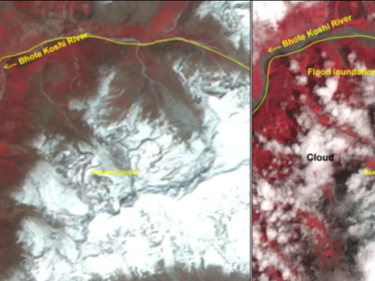
Indian scientists used pictures from several satellites to compare the mountains and rivers before and after the disaster.
Some scientists think an earthquake may have helped start the glacier collapse.
Another report said the main source of the seismic energy was the glacier collapse and debris flow, not an earthquake.

ISRO’s NRSC said nearly two-thirds of a glacier detached and collapsed before the flash floods.
The collapse produced an ice-rock avalanche, debris flow, rapid melting, and flooding along the Trishuli river system.
Satellite images identified major impacts in Rasuwa, Rasuwagadhi, Timure, and the Trishuli River corridor.
NRSC compared Sentinel-2, Resourcesat-2A, and Landsat-9 imagery from April 4, August 24, and August 26, 2026.
The cause remains debated: NRSC said an earthquake may have triggered the collapse, while the USGS attributed seismic energy to glacial collapse and debris flow.
- Who
- India’s National Remote Sensing Centre, part of the Indian Space Research Organisation, analyzed the disaster; communities in Tibet and Nepal were affected.
- What
- A major glacier detachment and collapse generated an ice-rock avalanche, debris surge, and flash floods along the Trishuli river system.
- Where
- The event affected parts of Tibet and Nepal, including Nepal’s Rasuwa, Rasuwagadhi, and Timure areas and the Trishuli River corridor.
- When
- The disaster occurred on Wednesday, August 26, 2026; satellite comparisons used imagery from April 4, August 24, and August 26.
- Why
- NRSC said an earthquake may have triggered the glacier collapse, while the United States Geological Survey said seismic energy was generated by glacial collapse and debris flow.
Earthquake-Triggered Collapse
Glacial Collapse as Seismic Source
Initial trigger
Earthquake-Triggered Collapse
NRSC’s preliminary assessment said the magnitude 4.9 earthquake may have destabilized and triggered the cirque glacier’s collapse.
Glacial Collapse as Seismic Source
The United States Geological Survey said the event was initially reported as a magnitude 4.4 earthquake, but analysis of long-period seismic waves indicated that the energy came from glacial collapse and debris flow.
Primary disaster cause
Earthquake-Triggered Collapse
This view describes the earthquake as the first event in a chain leading to glacier collapse, avalanche, river blockage, and flooding.
Glacial Collapse as Seismic Source
This view treats the glacier collapse and resulting debris flow as the primary source of the event rather than an earthquake.
Key facts
- Glacier collapse
- ISRO said almost two-thirds of the glacier’s body detached and collapsed.
- Affected areas
- Rasuwa, Rasuwagadhi, Timure, and the Trishuli River were identified among the worst-affected areas.
- Earthquake reading
- India’s earthquake monitoring network recorded a magnitude 4.9 earthquake at a depth of 10 kilometers at 8:22 a.m. IST.
- Satellite imagery
- NRSC compared Sentinel-2 images from August 24 and August 26, plus Resourcesat-2A imagery from April 4 and August 26; the analysis also included Landsat-9.
- Flood mechanism
- The reported sequence included an ice-rock avalanche, temporary river blockage, impounded water, and sudden downstream release.
- Reported impact
- Reports cited more than 160 deaths and over 1,000 missing people across Tibet and Nepal.
- Assessment status
- ISRO described the findings as preliminary and said a detailed assessment would follow.
Sources
Related news

ISRO Images Link Nepal-Tibet Floods to Glacier Collapse
Satellite Images Reveal Possible Cause of Devastating Nepal Floods

USGS Confirms Glacial Collapse Caused Deadly Nepal Flash Floods
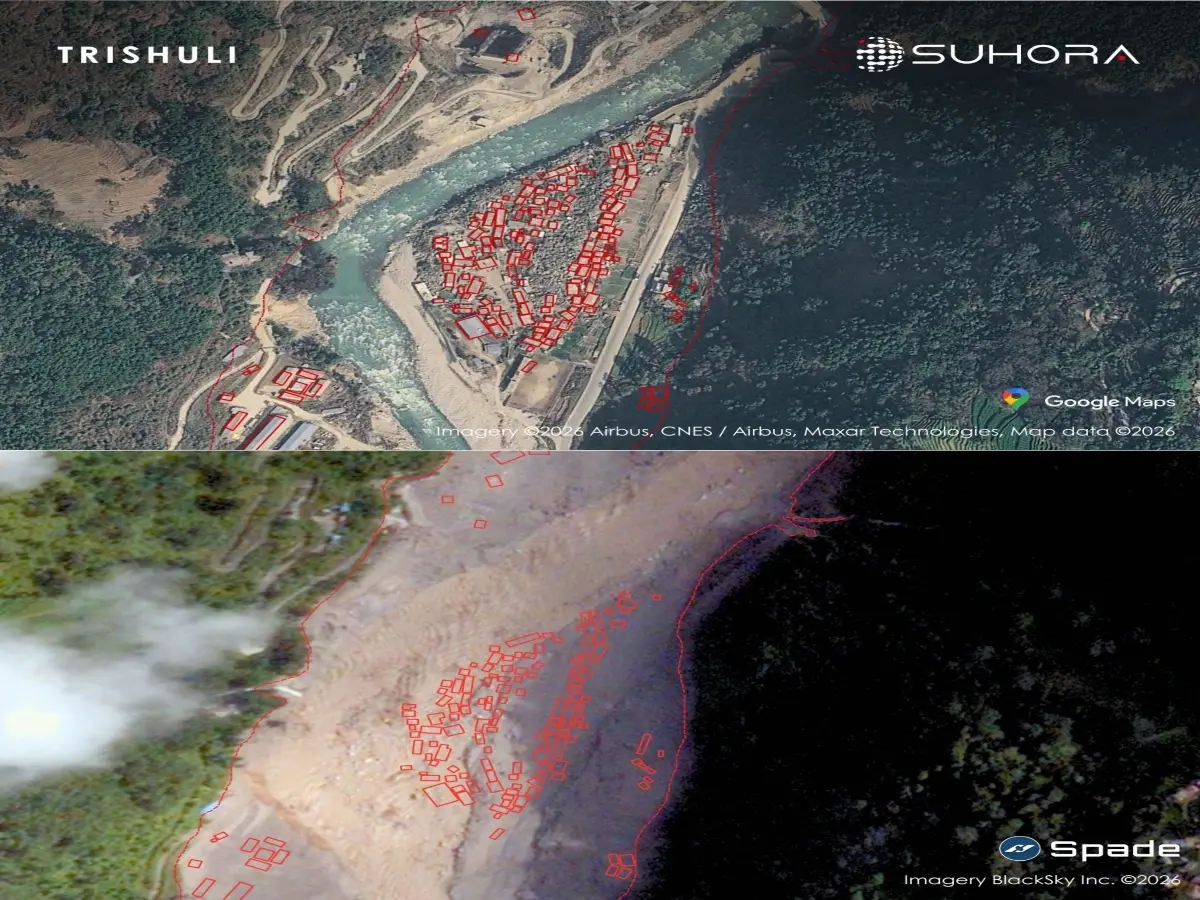
Satellite Images Show Nepal Towns Buried After Flash Flood

Satellite Images Reveal Glacier-Linked Collapse Behind Nepal-China Floods
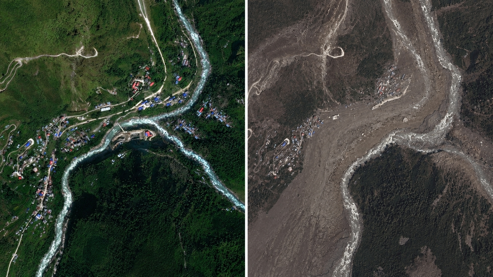
Satellite Images Reveal Glacier Collapse Behind Nepal Border Floods

Nepal Thanks India as Glacial Disaster Rescue Efforts Continue
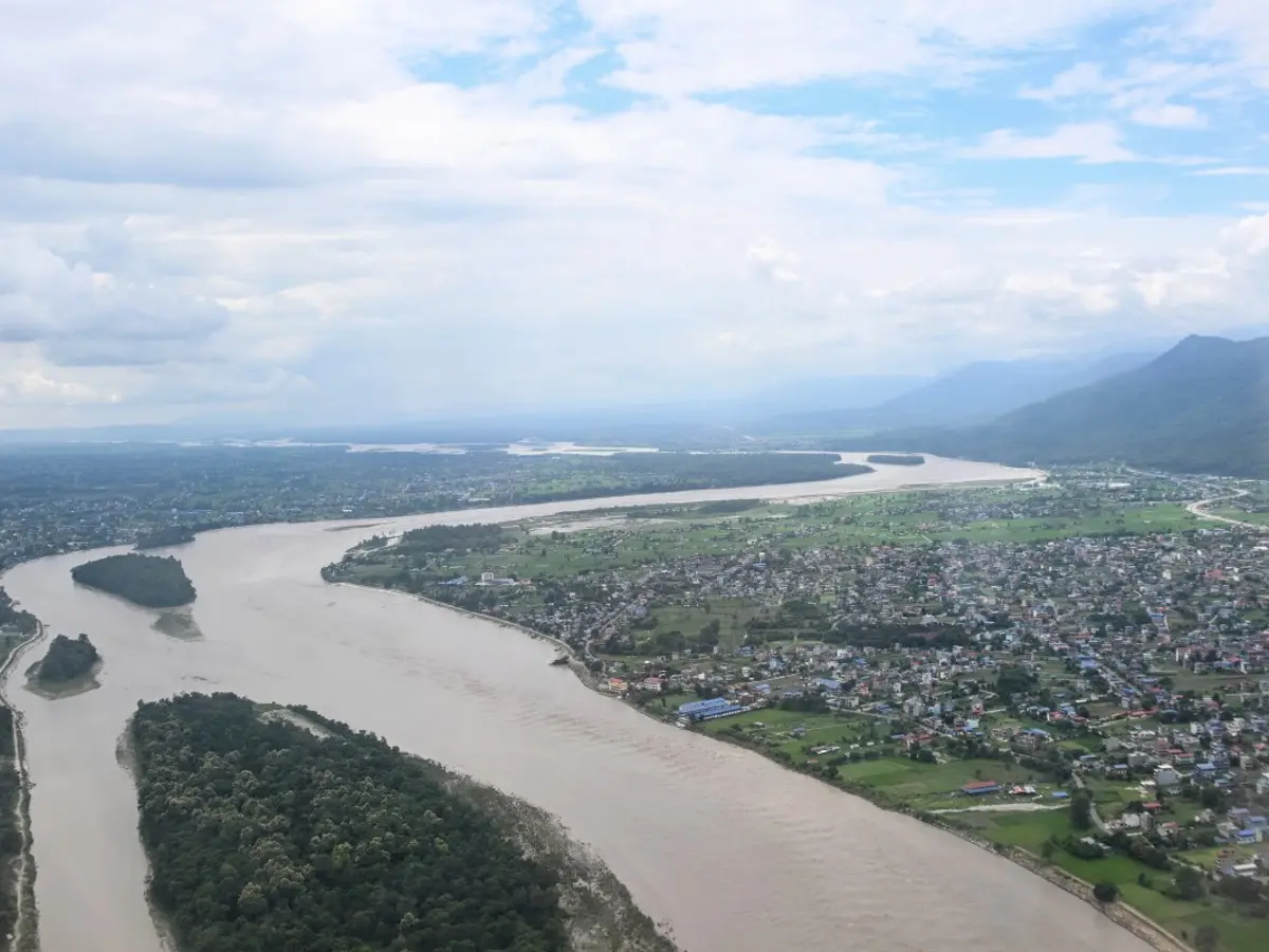
Nepal Warns of Heavy Rain After Deadly Floods
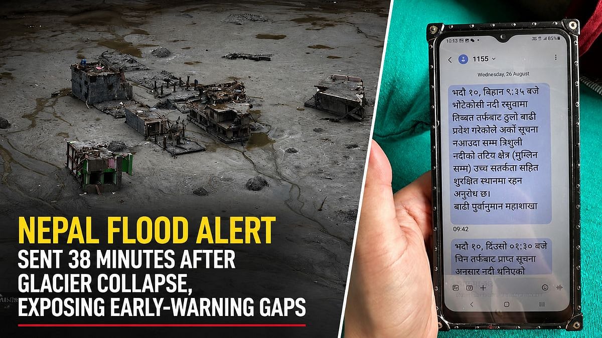
Nepal Flood Exposes Delayed Alerts and Cross-Border Warning Gaps

Bhotekoshi Flood Crisis: Nepal PM Shah Calls for Courage

Nepal PM Thanks India, China Amid Climate Compensation Demand