

1 week ago
Climate-Resilient Urban Planning Could Make India’s Cities Safer
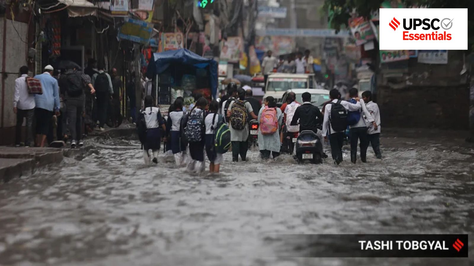
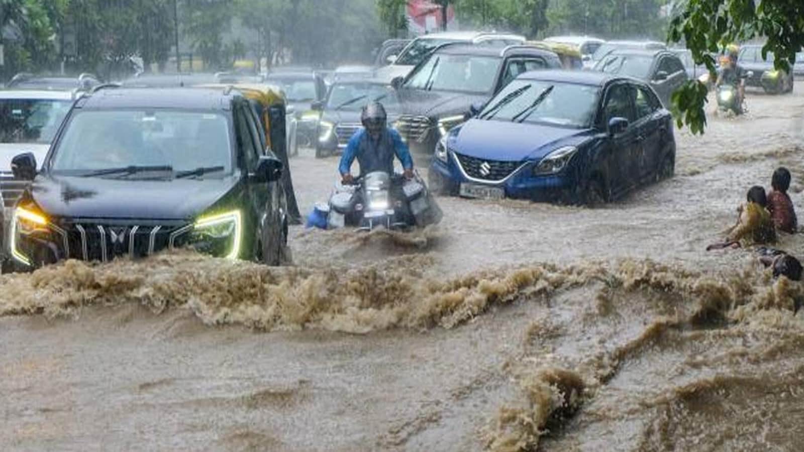
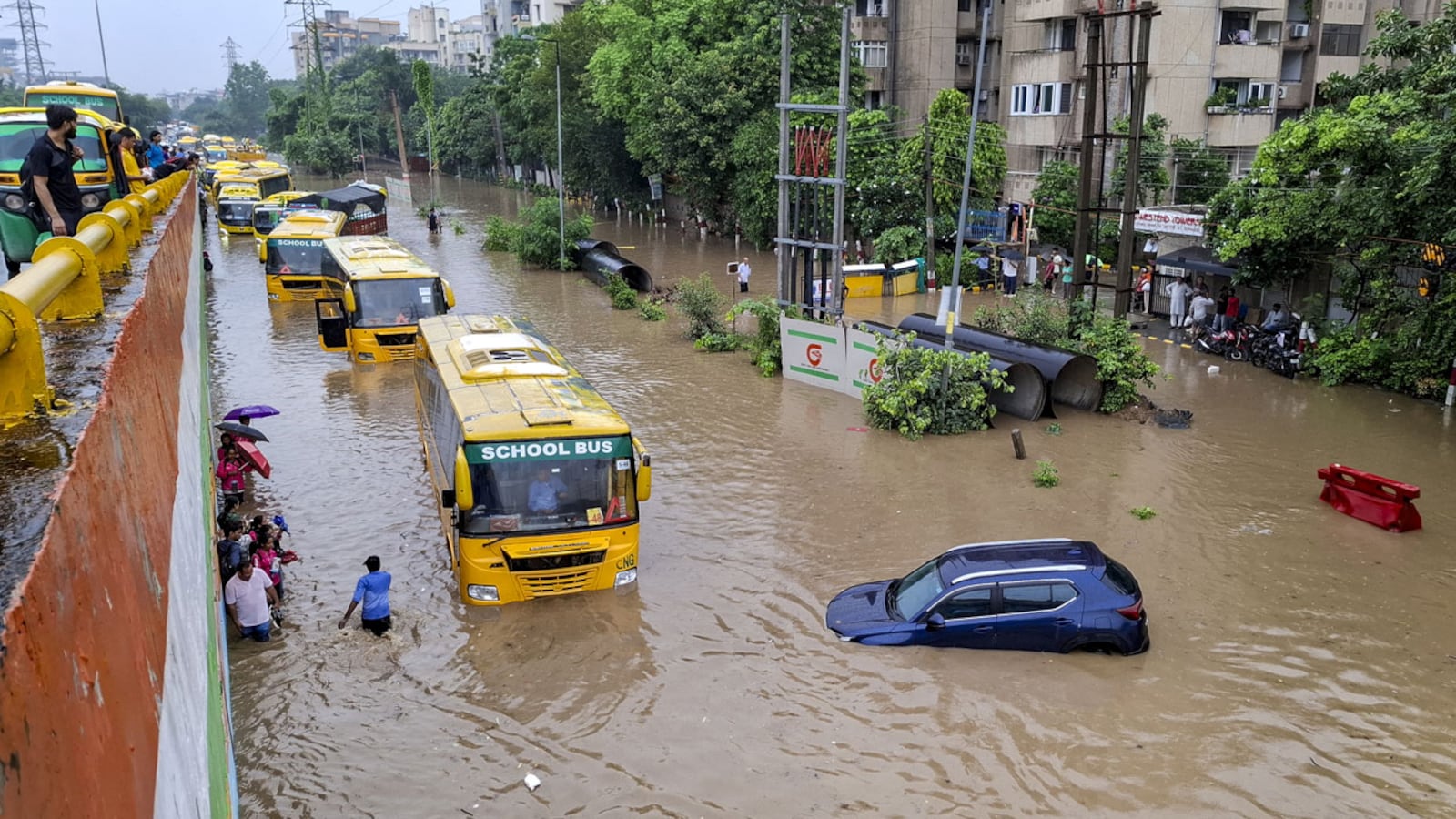
Many Indian cities flood when heavy rain falls because their drains and roads cannot handle all the water.
Building over lakes, wetlands, and green areas makes flooding worse.
Bengaluru is one example of a city where lost lakes and blocked drains increase risk.
Climate change is bringing more unusual monsoons and extreme rain.
Some cities in other countries are designed to safely store or guide extra water.
Rotterdam, for example, uses a public square that becomes a temporary water storage area during heavy rain.
Poor people, women, gig workers, and informal workers often suffer more because they have fewer safe transport and housing options.
Heatwaves and floods can also interrupt their work and income.
The article says India should build cities that support economic growth while protecting people and the environment.

Indian cities face worsening waterlogging, flooding, traffic congestion, groundwater depletion, and environmental damage during increasingly variable monsoons.
Unplanned urbanisation, deforestation, loss of green cover, and encroachment on lakes and drains have increased Bengaluru’s flood vulnerability.
Cities such as Rotterdam use public spaces like Benthemplein Water Square to capture and gradually release excess rainwater.
Rapid growth in private vehicles has outpaced public transport, affecting affordable mobility, especially for poor people and women.
Climate-resilient planning must combine flood protection, green cover, groundwater conservation, sanitation, waste management, and inclusive infrastructure.
- Who
- Indian cities, urban residents, informal workers, gig workers, women, planners, and policymakers are discussed.
- What
- The article examines how climate-resilient urban development can address flooding, environmental damage, transport gaps, and social inequality.
- Where
- The discussion focuses on Indian cities including Delhi, Guwahati, Bengaluru, Mumbai, Chennai, and Kolkata, with international examples from Rotterdam, Copenhagen, Hamburg, New York, and New Orleans.
- When
- The challenges are linked to recent monsoons and longer-term urbanisation; the article cites data from 1970, 2009-20, 2011, 2020, 2030, 2036, and 2047.
- Why
- Rapid and uneven urbanisation, weak planning, environmental degradation, inadequate public transport, and increasing climate risks have made cities more vulnerable.
Key facts
- Urban population projection
- India’s urban spaces are estimated to accommodate 600 million people, or 40% of the population, by 2036.
- Urban economic contribution
- Urban areas are estimated to contribute 70-75% of India’s GDP by 2030, compared with 62-63% in 2009-10.
- Global flood exposure
- Around 35.1 million people were exposed to floods globally in 2020, compared with 28.1 million in 1970.
- Vehicle growth
- Registered vehicles increased from 114.95 million to 295.8 million between 2009 and 2019.
- Public transport share
- Buses accounted for 1.1% of vehicles in 2011 and 0.67% in 2020, while two-wheelers and cars, jeeps, and taxis increased their combined share.
- Women’s commuting
- World Bank data cited in the article show that 45% of women in India walk to work, compared with 27% of men.
- Floodplain vulnerability
- Research cited in the article says slum dwellers are 32% more likely to settle in floodplains than people with adequate housing.
Quotes
Economic Survey of India 2026
India’s government economic survey cited in the article for its assessment of cities’ role in national growth.
“India’s cities are not merely places of residence but function as critical economic infrastructure. Density and proximity generate agglomeration economies that raise productivity, deepen labour markets, and enable innovation. The economic role of cities is therefore central to India’s growth trajectory.”
 indianexpress.com
Sources
Related news
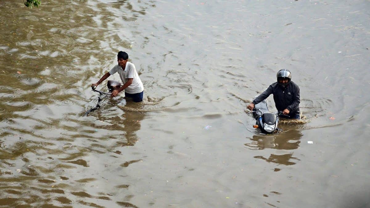
India's Cities Face Flooding as Rainfall Intensifies and Infrastructure Lags
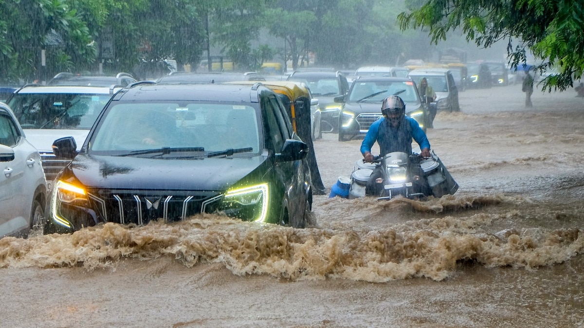
Delhi NCR floods: why can't Indian cities handle monsoon rain?

Mumbai Went Vertical as DLF Urged Smarter Cities Before 2047
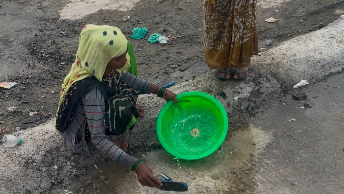
Water Stress Is Reshaping South Asian Urban Life
Why Gurugram Submerges Every Monsoon Despite Drainage Spending
Gurugram Flooding Demands Hydrological Planning, Not Just Bigger Drains

European T20 Premier League Opens Inaugural Season In The Hague
South Korea Tests Arctic Route Amid Western Russia Concerns
The Surprisingly Political History of the Hoodie

Ashwin hails Ireland's India series win as huge positive for cricket
