1 day ago
NISAR's Nepal Flood Silence Raises Questions About Disaster Readiness
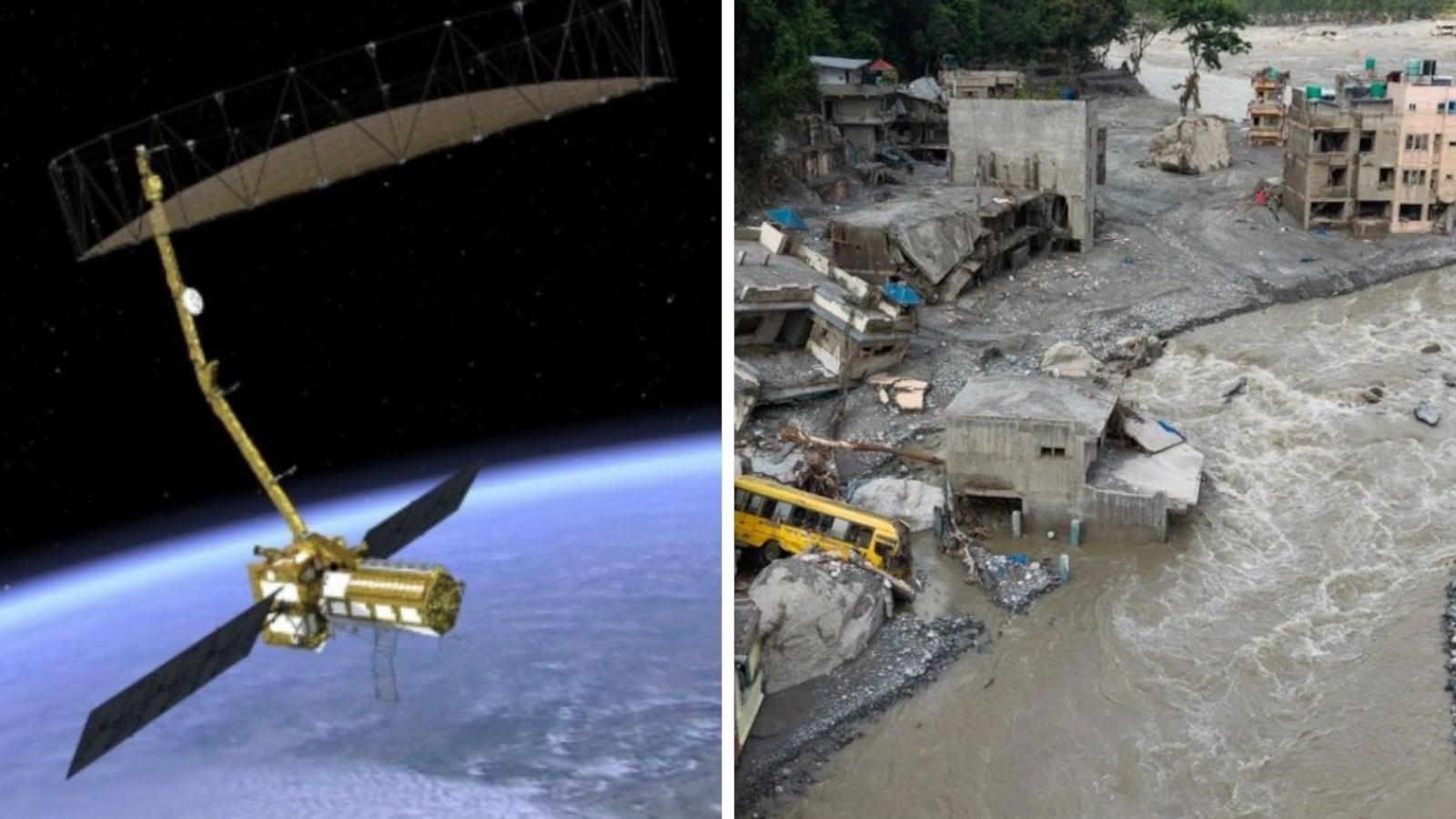
NISAR is a powerful satellite built by the United States and India to study changes on Earth.
It can watch glaciers, mountains, forests and land movement using radar.
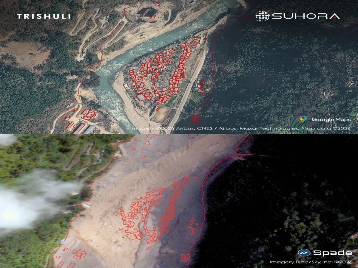
Nepal recently experienced destructive floods in the Himalayan region.
People expected NISAR to provide useful information because the satellite was designed to study hazards like these.
However, NASA and ISRO have not publicly released a NISAR analysis of the Nepal disaster.
A NASA scientist explained that the satellite gathers information, while people and computer tools must study it.
Scientists may need more time to understand the new data and develop ways to detect warning signs.
The article says there is no proof that the satellite failed.
The disaster has nevertheless raised questions about how quickly NISAR’s data can support emergency and scientific responses.

The $1.3 billion NISAR satellite was designed to monitor glaciers, landslides, ground deformation and other hazards.
After devastating flash floods in Nepal’s Rasuwa district, no public NISAR-based assessment has been reported by NASA or ISRO.
The agencies have highlighted NISAR’s ability to collect global land and ice data every 12 days and measure surface changes precisely.
NASA’s Paul Rosen said NISAR collects data but does not itself analyze it, and that forecasting tools and longer time series are still needed.
There is no public evidence that NISAR suffered a technical failure or was intended to predict every individual flood, landslide or glacier collapse.
- Who
- NASA, the Indian Space Research Organisation, scientists and disaster experts are involved; Nepalese communities in Rasuwa district were affected.
- What
- A destructive flash-flood disaster has prompted questions about why no public NISAR-based analysis or warning insight has yet been released.
- Where
- Rasuwa district in Nepal’s Himalayan region.
- When
- The article discusses events and statements from June, July and August 2026, including NISAR’s first year of operations and the Nepal disaster.
- Why
- NISAR was promoted as a tool for monitoring glaciers, landslides, ground deformation and other hazards, but its public role in analyzing the Nepal disaster remains unclear.
Questions About NISAR’s Readiness
Explanations for the Limited Response
Expected disaster role
Questions About NISAR’s Readiness
Because NISAR was promoted for glacier monitoring, landslide research, ground-deformation measurements and disaster response, critics argue it should have contributed publicly to understanding the Nepal floods.
Explanations for the Limited Response
The article acknowledges that NISAR was not designed as an operational warning system that could predict every flood, landslide, glacier collapse or earthquake.
Absence of public findings
Questions About NISAR’s Readiness
The lack of a public NISAR assessment has created concern that the satellite was absent when its capabilities were most relevant.
Explanations for the Limited Response
NASA’s Paul Rosen said NISAR only collects data and that researchers need time to build sufficiently long time series and automated tools for identifying unusual behavior across the Himalayas.
Mission performance
Questions About NISAR’s Readiness
The Nepal disaster is presented as a test of whether NISAR can deliver the practical hazard insights promised by NASA and ISRO.
Explanations for the Limited Response
The article states there is no public evidence of a technical failure, and notes that NISAR has already contributed data to analysis of Venezuela’s 2026 earthquakes.
Key facts
- Mission
- NASA-ISRO Synthetic Aperture Radar, known as NISAR
- Reported cost
- $1.3 billion
- Mission purpose
- Monitoring land and ice changes, glaciers, ecosystems, tectonic activity, landslides and other hazards
- Coverage interval
- ISRO says NISAR will image global land and ice-covered surfaces every 12 days
- Nepal disaster location
- Rasuwa district
- Public analysis
- The article reports that NASA and ISRO had not publicly released a NISAR-based assessment of the Nepal disaster
- Data policy
- NASA and ISRO said NISAR radar data would be openly available through a public archive
- Relevant comparison
- NASA’s Jet Propulsion Laboratory said NISAR data helped map land-surface shifts after June 2026 earthquakes in Venezuela
Quotes

Paul Rosen
NISAR Project Scientist at NASA's Jet Propulsion Laboratory
“NISAR just takes the data, it doesn't analyse it. People do. We are just beginning the time series needed to track precursory behaviours. Once the teams develop automated tools to look all over the Himalayas for nominal and anomalous behaviours, then we have a hope of identifying the risk.”
 NDTV
NDTV
“We can see precursory motion before landslides. And we'll monitor glacier dynamics to assess GLOF risks.”
NDTV

ISRO
India's national space agency
“NISAR continues to systematically collect precious data to understand the Earth's dynamics to drive advancements across multiple scientific disciplines, including ecosystem, solid earth, cryosphere, hydrology, oceanography, coastal-processes, geoscience and disaster response.”
NDTV
Sources
Related news
ISRO Links Nepal Floods to Massive Glacier Collapse

ISRO Images Link Nepal-Tibet Floods to Glacier Collapse

Satellite Warning Signs Raised Questions After Nepal-China Glacier Disaster
Nepal Flood Exposes Gaps in Himalayan Early Warnings

Nepal Floods Expose Warning Gaps, Spur China Data Push
Satellite Images Show Nepal Towns Buried After Flash Flood
ISRO Plans EOS 5 Comeback Launch After PSLV Setbacks

India’s Space Ambitions Expand From Moon to Mars, Venus
ISRO Targets Gaganyaan Uncrewed Launch Within Four Months
India's Space Sector Finds Biggest Impact Back on Earth