2 days ago
Nepal Flood Exposes Gaps in Himalayan Early Warnings
A large piece of ice and rock broke away from a Himalayan mountain in Nepal.
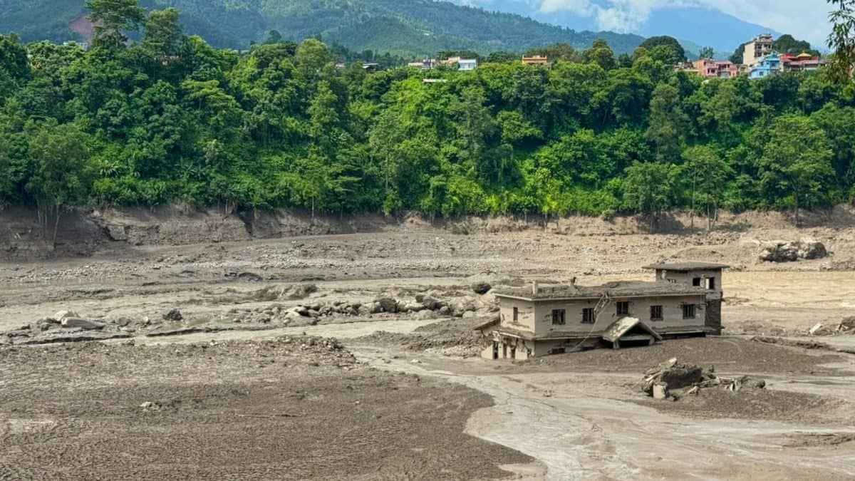
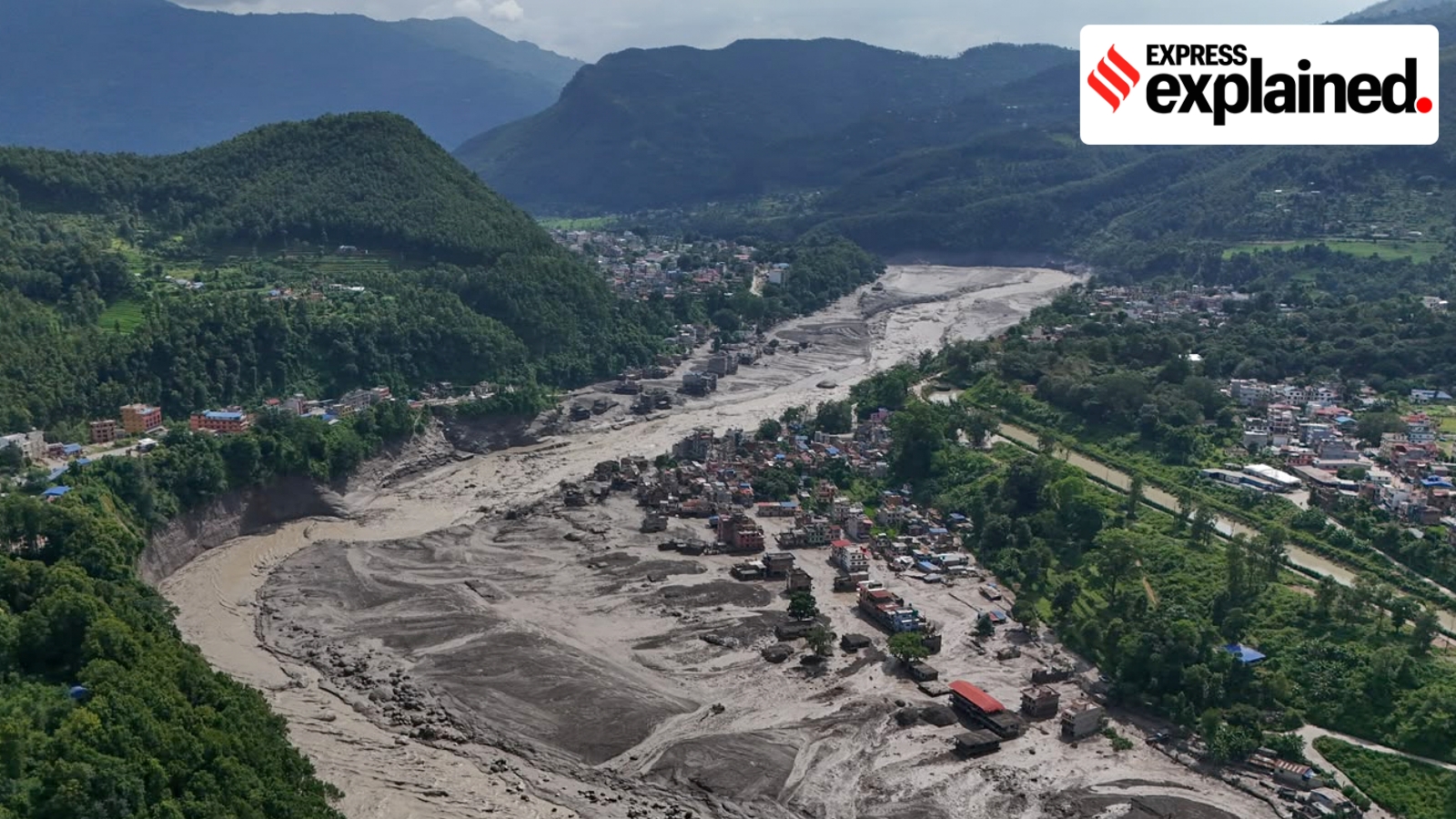
It rushed downhill and blocked a river with ice, rocks and mud.
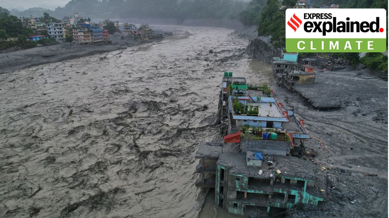
The temporary dam broke soon afterward, releasing a powerful wave of water and debris.
The wave reached the China border in about nine minutes.
It then damaged dams, hydropower projects, villages and towns farther downstream.
Scientists are still studying exactly what caused the glacier and rock to break.
The location had not been marked as a major danger zone before the disaster.
Experts say warning systems should use satellites, river and earthquake sensors, and reports from local people.
They also say disasters can combine several hazards, making them harder to predict.

The event began with a glacial detachment involving bedrock on the northern slopes of Langtang Lirung, though the exact trigger remains uncertain.
Ice, rock and sediment formed a temporary dam on the Lhende River before it failed within minutes and sent a major flood pulse downstream.
The surge reached the China border in roughly nine minutes, then destroyed infrastructure and affected communities more than 100 kilometres downstream.
The failed site had not previously been identified as a high-risk location, underscoring the difficulty of monitoring Himalayan hazards.
Experts recommend combining satellite imagery, fixed hydrological and seismic stations, and information from local communities to improve warnings.
- Who
- Communities and infrastructure in Nepal were affected; Austin Lord of the Stimson Center discussed the event and its warning-system implications.
- What
- A glacial detachment triggered a cascading flow of ice, rock, sediment and water that caused a destructive flood.
- Where
- The event began on the northern slopes of Langtang Lirung in Nepal’s Langtang range, flowed through the Lhende River corridor and reached the China and India-Nepal border areas.
- When
- The emerging consensus described in the interview was current as of August 28; the article does not provide the event’s exact date.
- Why
- The disaster occurred after a sudden glacial and bedrock failure, followed by the collapse of a temporary landslide dam; the precise trigger is not yet understood.
Key facts
- Initial trigger
- A glacial detachment involving bedrock on the northern slopes of Langtang Lirung.
- Source elevation
- Approximately 5,200 metres.
- Flood-border travel time
- The flow reached the China border in roughly nine minutes.
- Flood composition
- A mixed flow of water, ice, rock and sediment.
- Downstream impact
- The event affected areas more than 100 kilometres downstream and destroyed dams and hydropower projects.
- Risk assessment
- The specific failed location had not previously been identified as a high-risk site.
- Proposed warning approach
- Combine remote sensing, hydrometeorological and seismic stations, and local monitoring.
Sources
Related news

Nepal Glacier Avalanche Exposes Cascading Himalayan Disaster Risks
Nepal Flood Exposes Himalayan Cascading Hazard Risks
Nepal’s Sudden Ice Collapse Exposes Gaps in Flood Warnings

Nepal Flood Tragedy Highlights Need for Himalayan Early Warnings
Nepal Flash Flood Echoes Himalayan Disasters, Signals Future Risks