2 weeks ago
India's Space Sector Finds Biggest Impact Back on Earth
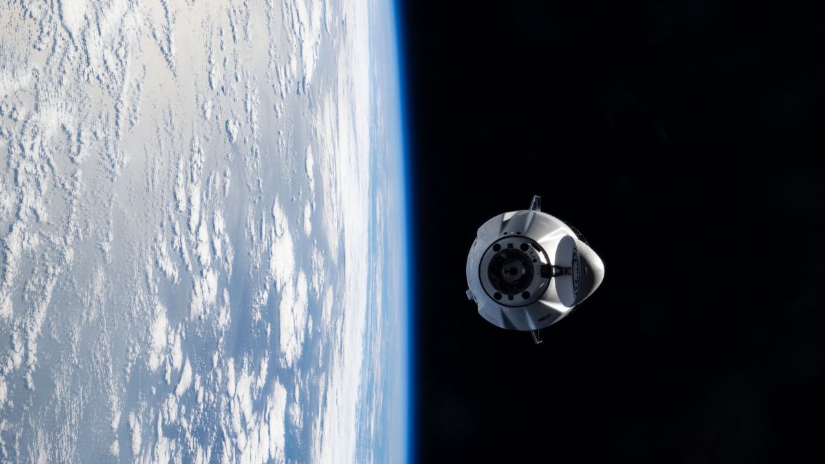
India makes rockets and satellites, but those space tools also help people on the ground.
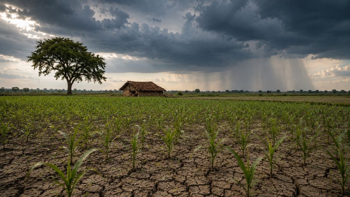
Farmers use pictures from space to check whether their crops are healthy.
They also get warnings about rain, droughts, floods and other bad weather.
When a big storm like Cyclone Fani hit, satellites helped officials move more than one million people to safety in Odisha.
When floods or landslides happen, space images help rescue teams see the damage very quickly.
The government also uses space data to keep track of roads, water and village projects.
India opened its space sector to private companies in 2023, so new startups are now building and using space technology too.
There are still challenges, such as cloudy weather hiding the satellite pictures and slow sharing of information between agencies.
Still, space technology is helping India farm smarter and respond to disasters faster.

Private space companies in India are eyeing more than eight commercial rocket launches by FY28, with 440 space technology startups registered to date.
Satellite technology supports agriculture through crop monitoring, yield prediction and weather alerts via projects including FASAL, GeoCREST and VEDAS.
ISRO satellites enabled the evacuation of over 11 lakh people along the Odisha coast during Cyclone Fani in 2019 and monitored Cyclone Dana in the Bay of Bengal in 2024.
Over 890 flood products and alerts for more than 11 major landslide events were disseminated through the Home Ministry and disaster response teams.
Challenges include limited smartphone penetration, monsoon cloud cover, data silos and processing bottlenecks that can delay insurance claims and relief payouts.
- Who
- Union Minister Jitendra Singh, ISRO and India's private space startups, with farmers and disaster-response teams as key users
- What
- India's space technology is being applied on the ground to improve agriculture, disaster management, climate monitoring and governance
- Where
- India, including the Odisha coast, the Bay of Bengal and the villages of Dharali and Harsil in Uttarakhand
- When
- Most recent details were shared in Parliament this week; the sector opened to private players in 2023, with examples spanning 2019 to 2025
- Why
- To reduce crop and climate risk, speed up disaster response and make government administration more efficient
Key facts
- Sector opened to private players
- 2023 via the Indian Space Policy 2023
- Registered space tech startups
- 440
- Commercial launches planned by FY28
- More than 8
- People evacuated during Cyclone Fani (2019)
- Over 11 lakh on the Odisha coast
- Flood products and alerts disseminated
- Over 890, plus alerts for more than 11 major landslide events
- Geotagged MGNREGA activities
- About 6.93 crore
- NDEM 5.0 release
- June 2024
- Parliamentary disclosure
- Written reply to the Rajya Sabha by Union Minister Jitendra Singh
Quotes
Union Minister Jitendra Singh
Indian government minister of space and innovation
“"Satellite-based crop area or yield estimation, crop monitoring and soil moisture products supported national programmes and PMFBY across major crops and states; GeoCREST, Potato Crop Monitoring System and VEDAS-based geospatial yield estimation were operationalised."”
 financialexpress.com
Sources
Related news
Modi Urges 20 Space Startups to Build Global Hub
Modi Assures Government Support for India’s Space Startups

India’s Space Economy Projected to Reach $40–45 Billion
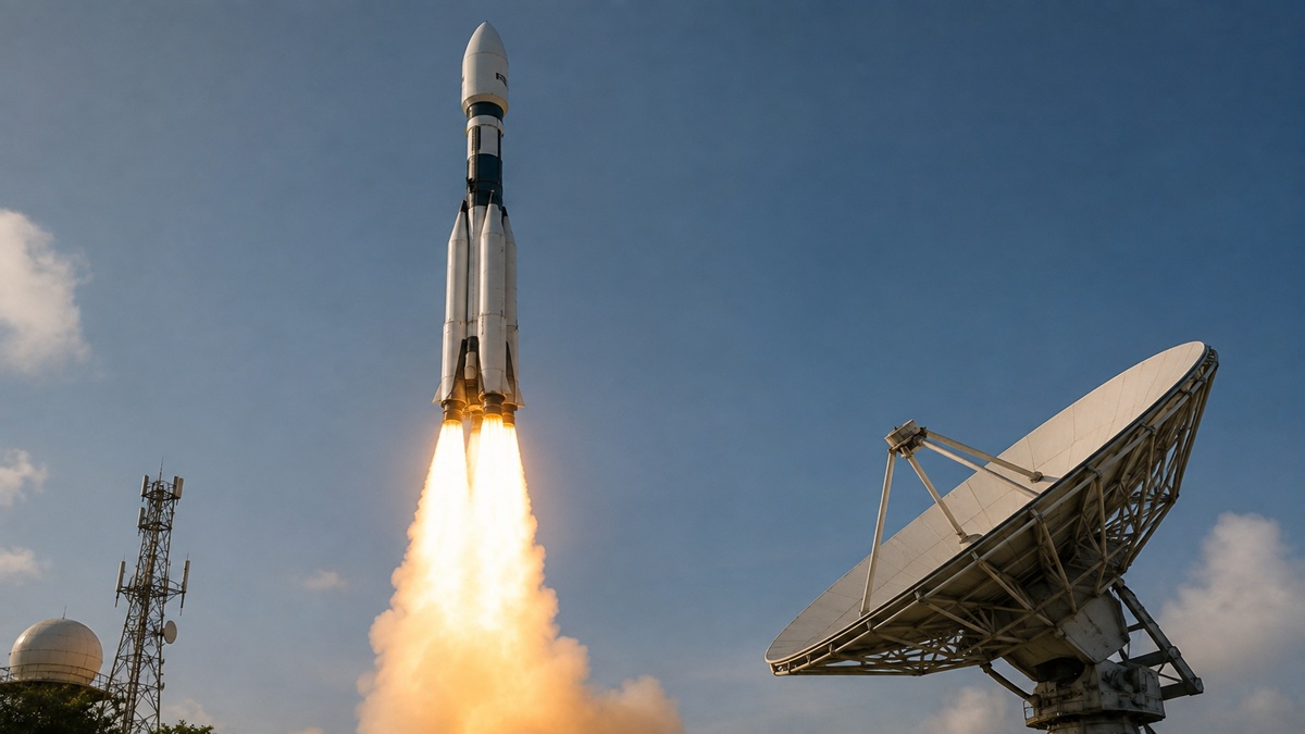
India registers 440 space startups as private investment surges

AI, Quantum Technology to Drive India’s Next-Generation Satellites
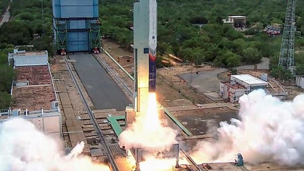
Strategic funding may propel India's space economy to $100 billion
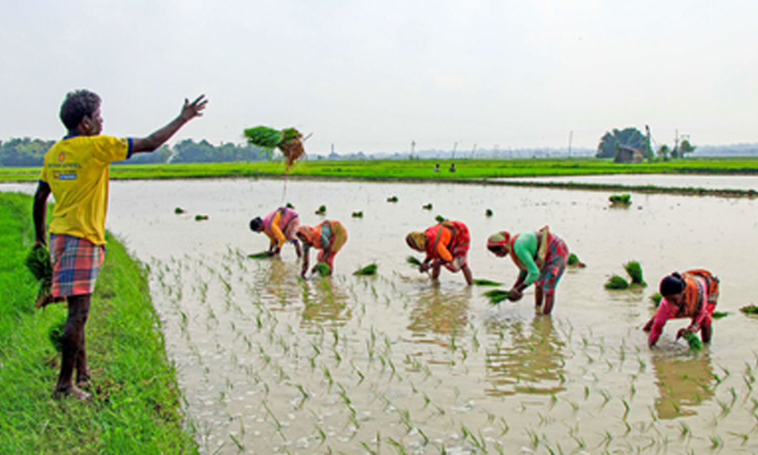
Andhra Pradesh Crop Insurance Enrolment Surges Among Non-Loanee Farmers

Punjab Parties Clash at Baba Bakala Ahead of 2027 Polls
Madhya Pradesh Procures 5.33 Lakh Tonnes Summer Moong At MSP
Andhra Pradesh Adopts Four-Pillar Plan Against El Niño Impact
India’s Monsoon Faces 15% Deficit as El Niño Strengthens