3 weeks ago
Cyril Radcliffe's five-week map carved India-Pakistan border, displacing millions
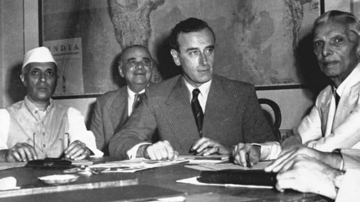
A long time ago, in 1947, British rulers were leaving a big place called India.
Before they left, they decided to split it into two new countries: India and Pakistan.
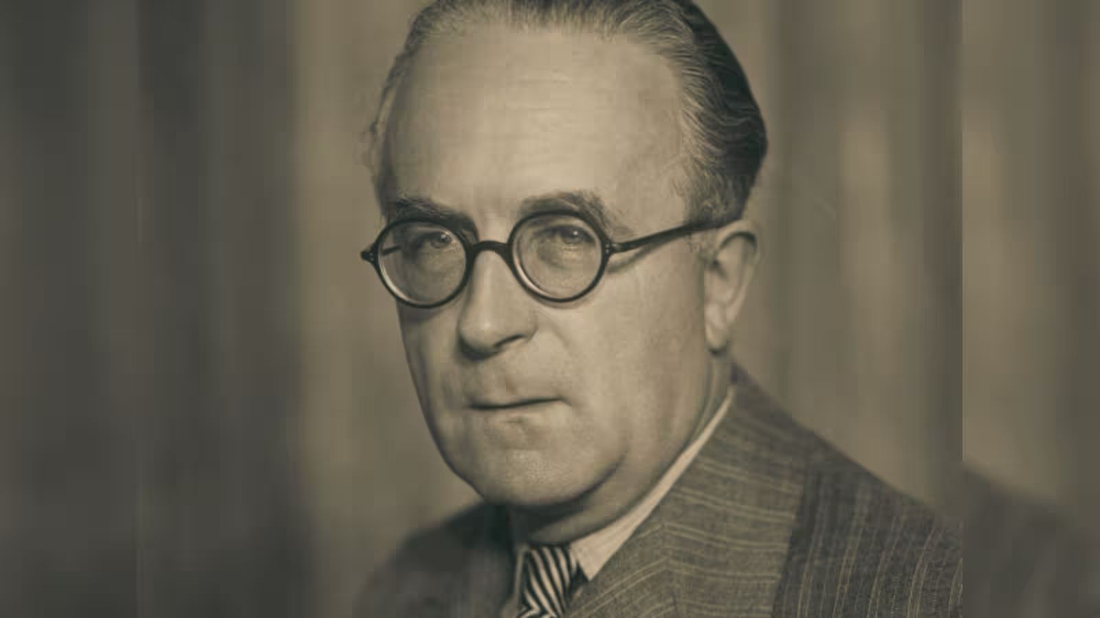
They needed someone to draw the line between the two countries, so they picked a British lawyer named Cyril Radcliffe.
Radcliffe had never visited India before and had only about five weeks to do the job.
The line he drew cut through villages, farms, rivers and roads where people of different religions lived side by side.
When the border was finally announced, millions of families discovered their homes were now in a different country.
About 12 to 15 million people were forced to move, and more than a million people died.
Radcliffe was so upset by the suffering that he later destroyed his papers and refused to be paid.
The border he drew still exists today and helped shape the countries of India, Pakistan and Bangladesh.

Cyril Radcliffe, a British barrister with no prior experience of India, chaired the Boundary Commissions for Punjab and Bengal and became the final arbiter of the Partition border.
Each commission had four members, two nominated by the Indian National Congress and two by the Muslim League, and was frequently deadlocked.
The award split Punjab into West Punjab (Pakistan) and East Punjab (India), and Bengal into East Bengal (Pakistan) and West Bengal (India).
Radcliffe arrived in India on July 8, 1947, and the award was made public on August 17, 1947 — two days after India's independence and three days after Pakistan's.
Historians estimate 12-15 million people were displaced and more than a million died during Partition, with violence especially devastating in Punjab.
- Who
- Cyril Radcliffe, a British barrister chaired the Punjab and Bengal Boundary Commissions formed to divide the provinces.
- What
- Radcliffe drew the Radcliffe Line, the boundary dividing British India into India and Pakistan during the 1947 Partition.
- Where
- Punjab and Bengal, creating the India-Pakistan border; the eastern boundary later became part of the India-Bangladesh border.
- When
- Radcliffe arrived in India on July 8, 1947, and the award was made public on August 17, 1947.
- Why
- To divide Punjab and Bengal largely by contiguous Muslim and non-Muslim majority areas before the British transfer of power.
Key facts
- Chairman
- Cyril Radcliffe (British barrister)
- Commissions
- Punjab and Bengal Boundary Commissions
- Timeline
- Arrived in India July 8, 1947; award announced August 17, 1947
- Pakistan independence
- August 14, 1947
- India independence
- August 15, 1947
- Punjab division
- West Punjab (Pakistan), East Punjab (India)
- Bengal division
- East Bengal (Pakistan), West Bengal (India)
- Displacement estimate
- 12-15 million displaced; more than 1 million deaths
Sources
Related news
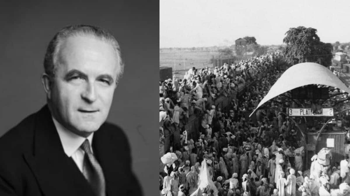
Radcliffe Line: How 1947 Partition Divided India, Pakistan
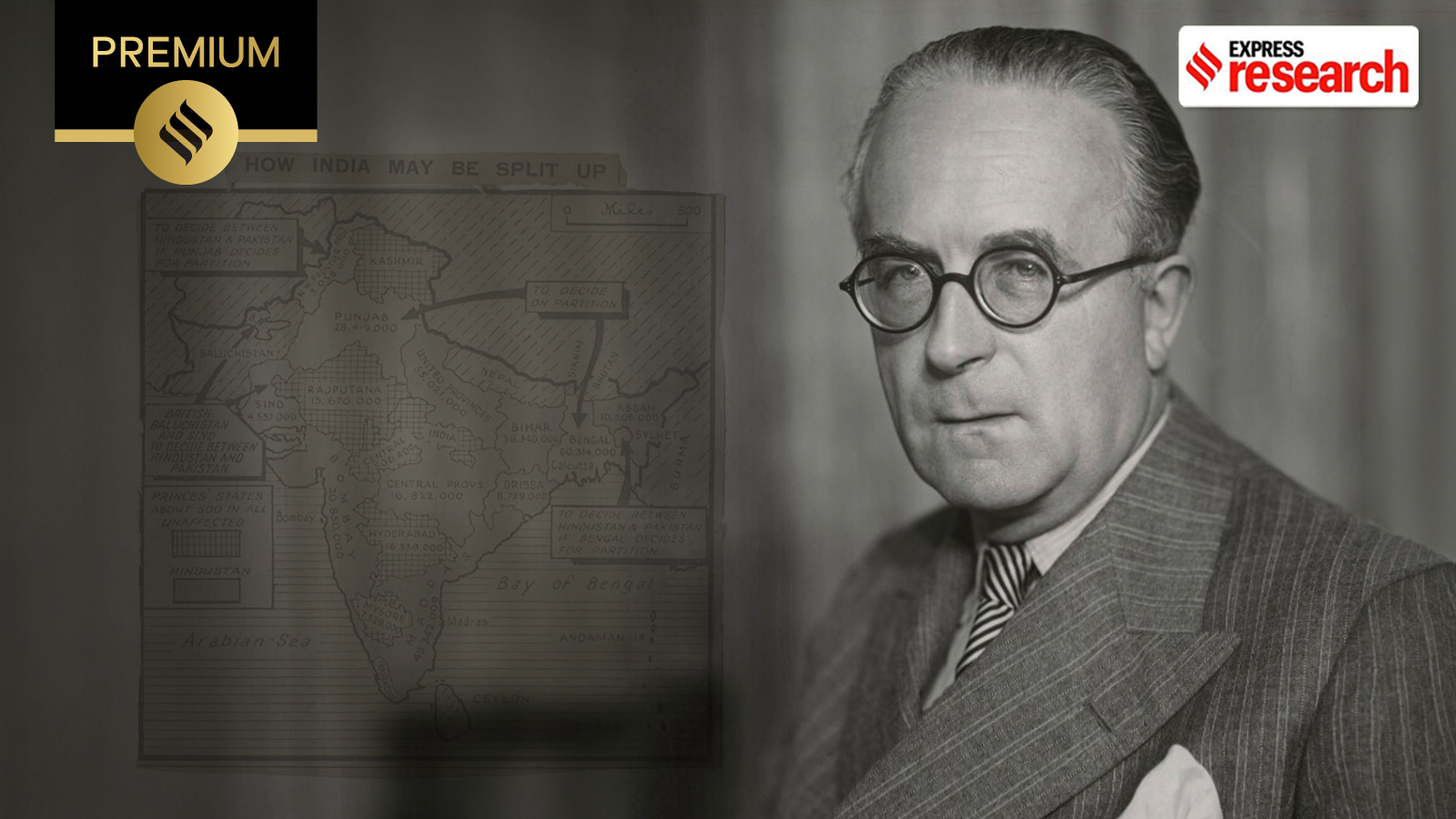
Sir Cyril Radcliffe: The Man Who Drew India-Pakistan Borders
The Man Who Drew the India-Pakistan Border Burnt His Papers
UPSC Daily History Quiz Tests Knowledge of India's Past
Remembering the Punjab Boundary Force and the Shadow of Partition

Why West Bengal marks Bharat Bhukti Dibas on August 18

India’s Record Wheat Harvest Opens $1.5 Billion Export Window

West Bengal CM Crushes Nearly 2 Lakh Seized Syrup Bottles
India, Bangladesh Seek Deeper Parliamentary and People-to-People Ties
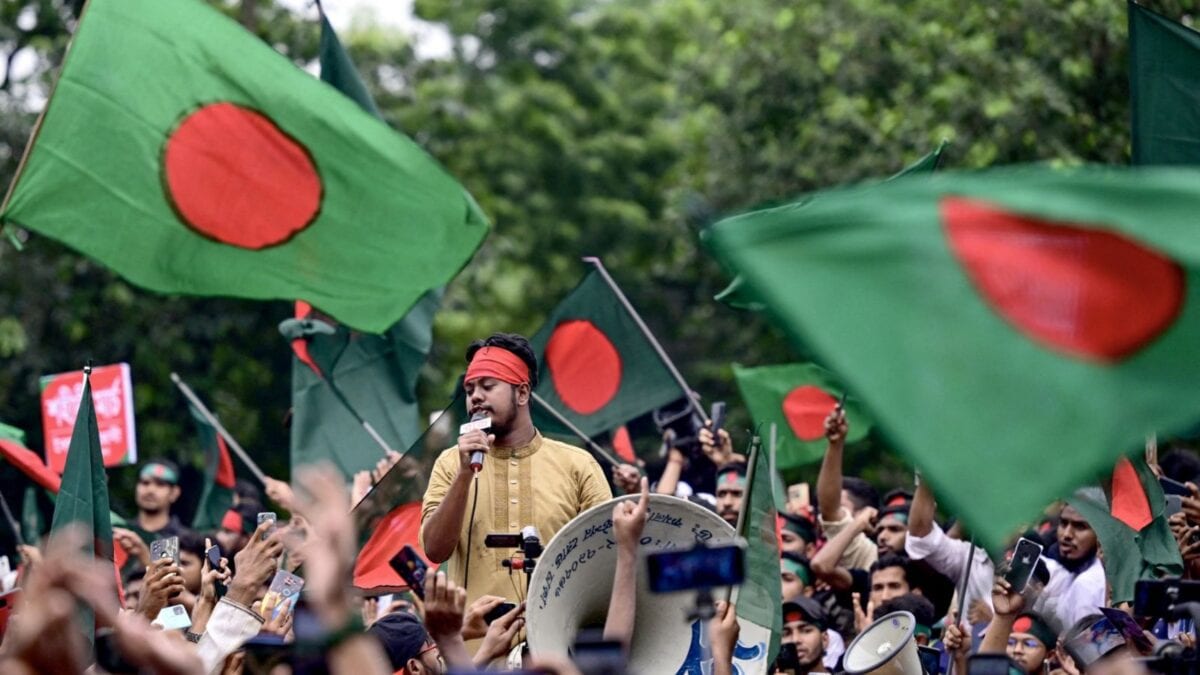
Bangladesh Radicalisation Raises Concerns About Security Spillover Into India

Bengaluru Police Transfer 31 Bangladeshi Nationals for Deportation