2 weeks ago
Why West Bengal marks Bharat Bhukti Dibas on August 18

In 1947, the British were leaving India and splitting it into two countries: India and Pakistan.
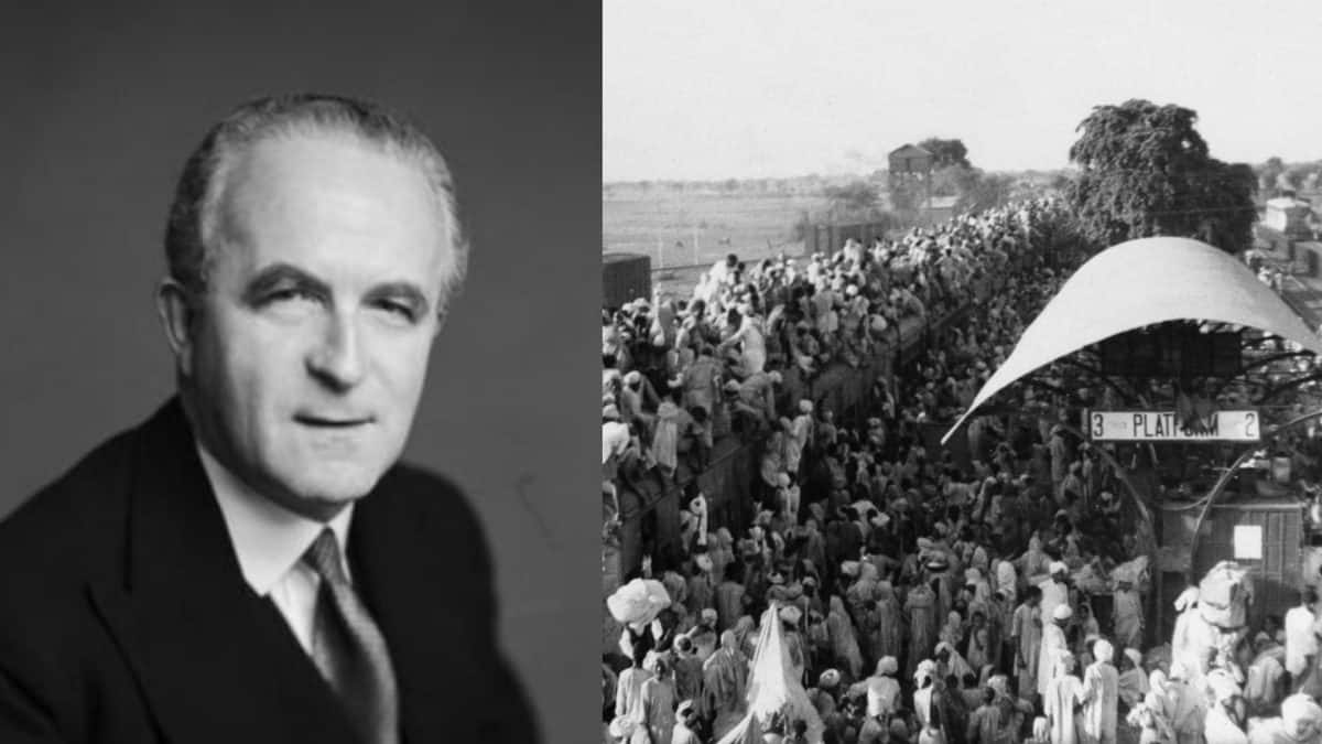
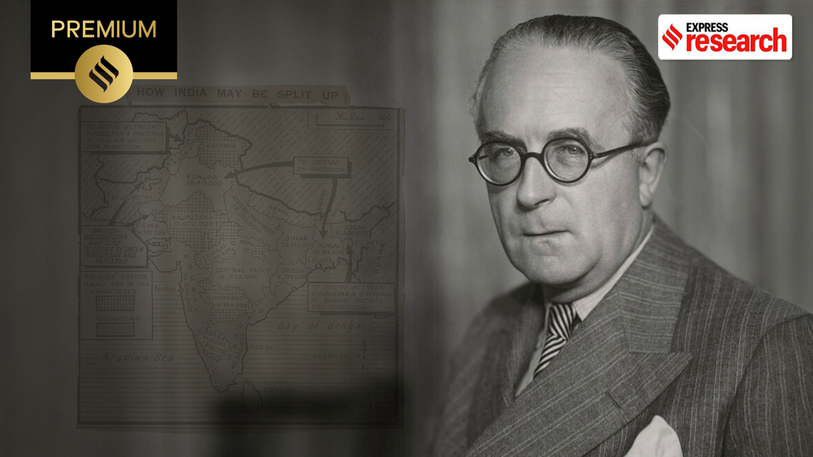
A British official named Sir Cyril Radcliffe was asked to draw the line on the map deciding which areas would go to which country.
His instructions were to give areas with mostly Hindu people to India and areas with mostly Muslim people to Pakistan.
But his map made a mistake and handed parts of West Bengal to Pakistan.
So when India celebrated its very first Independence Day on August 15, 1947, people in those places were angry and sad instead of happy.
They protested, and reports said some areas went dark and women stopped cooking for two days.
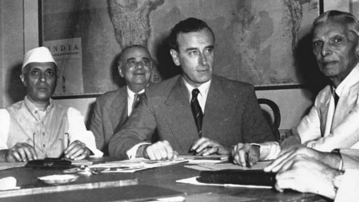
Lord Louis Mountbatten, Britain's final Governor-General of India, ordered Radcliffe to fix the mistake.
On the night of August 17, it was announced that the corrected map would keep most of the area, including Murshidabad, with India.
The very next day, August 18, people rejoiced and began calling it 'Bharat Bhukti Dibas,' which means 'India Inclusion Day.'
Even today, the Indian flag is raised in many of these places on both August 15 and August 18.

Parts of West Bengal were briefly assigned to East Pakistan (now Bangladesh) from August 14, 1947, because of a blunder in the partition map drawn by Sir Cyril Radcliffe.
Radcliffe's map placed the whole of Murshidabad and large portions of Malda, Dinajpur and North 24 Parganas on the Pakistani side, along with parts of Nadia district.
Instead of celebrating India's first Independence Day on August 15, 1947, residents of these areas protested, with reports of blackouts and women stopping cooking for two days.
After protests, Lord Louis Mountbatten ordered Radcliffe to rectify the error, and on the night of August 17 it was announced that India would retain most of the area, including Murshidabad.
Residents began observing August 18 as 'Bharat Bhukti Dibas' (India Inclusion Day), and the National Flag is still raised at many places on both August 15 and August 18.
- Who
- Sir Cyril Radcliffe, who drew the 1947 partition map, Lord Louis Mountbatten, who ordered the correction, and residents of affected West Bengal districts such as Malda and Nadia.
- What
- Parts of West Bengal were mistakenly assigned to East Pakistan and then returned to India two days later; the return is commemorated as 'Bharat Bhukti Dibas' (India Inclusion Day).
- Where
- Parts of West Bengal, including Nadia, Murshidabad, Malda, Dinajpur, North 24 Parganas and Jalpaiguri districts; key sites included Malda and Krishnanagar.
- When
- August 14-18, 1947, with the day observed annually on August 18.
- Why
- Radcliffe's map handed Hindu-majority areas to Pakistan contrary to his mandate; after protests he was ordered to fix the blunder, and most of the region stayed with India.
Key facts
- Commemorative day
- Bharat Bhukti Dibas (India Inclusion Day), observed annually on August 18
- Error began
- August 14, 1947, when parts of West Bengal were placed under East Pakistan
- Boundary commissioner
- Sir Cyril Radcliffe
- Correction ordered by
- Lord Louis Mountbatten, final British Governor-General of India
- Correction announced
- Night of August 17, 1947
- Retained by India
- Most of the area, including Murshidabad
- Transferred to East Pakistan
- Parts of Malda, Dinajpur and Jalpaiguri districts and the subdivisions of Meherpur, Chuadanga and Kustia
- Today's observance
- National Flag raised on both August 15 and August 18 at many places
Sources
Related news
Radcliffe Line: How 1947 Partition Divided India, Pakistan
Cyril Radcliffe's five-week map carved India-Pakistan border, displacing millions
Sir Cyril Radcliffe: The Man Who Drew India-Pakistan Borders
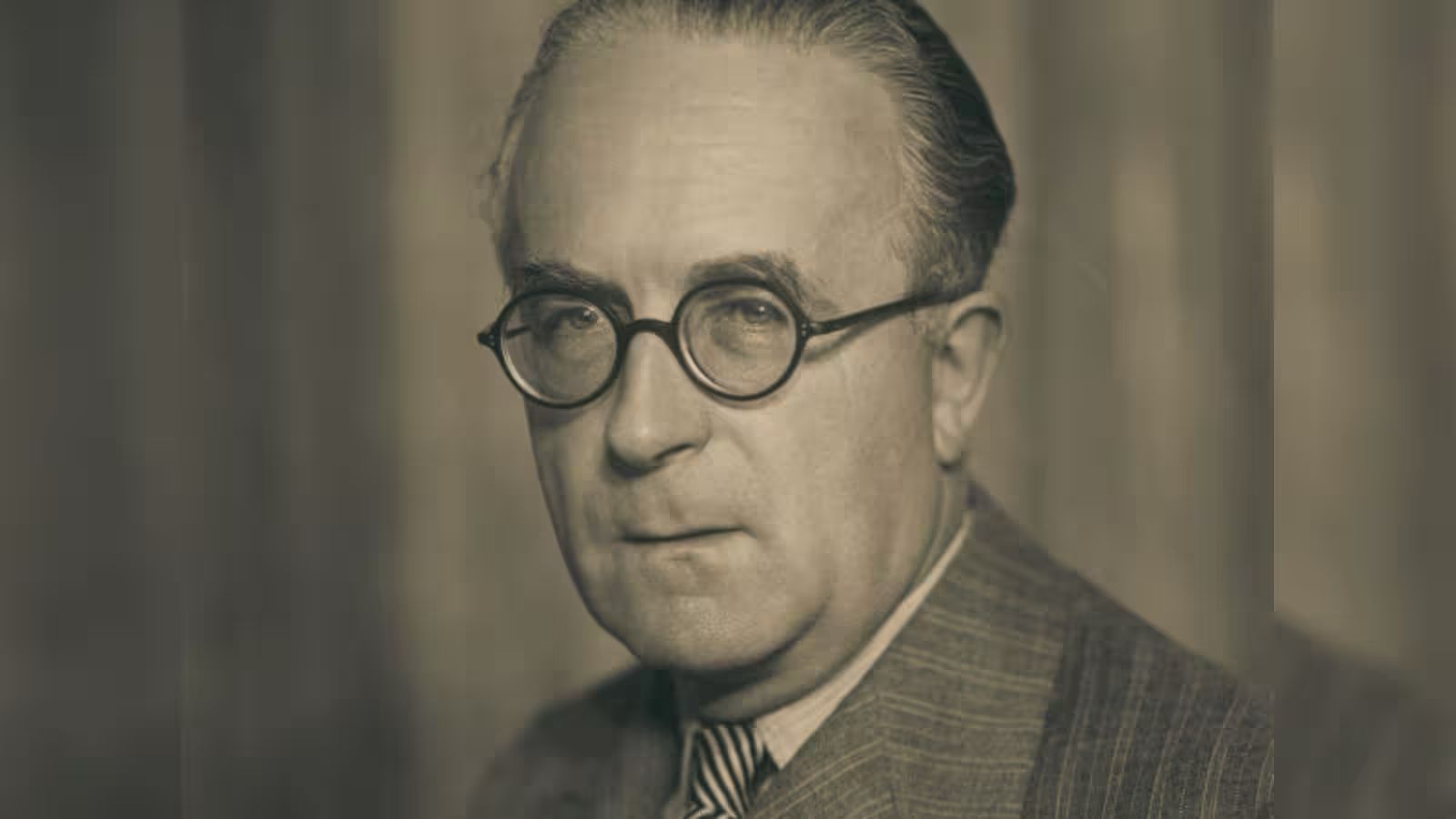
The Man Who Drew the India-Pakistan Border Burnt His Papers
Bangladesh Revives 1947 History While Ignoring Partition's Human Cost
Gandhi, Nehru, Jinnah And Faiz On India's Independence Day
Bangladesh Recall Shanto, Mahmud for Asian Games T20 Squad

Sharma and Malik share halfway lead at Telangana Golconda Masters
India Replaces Sri Lanka as 2027 Women’s Champions Trophy Host
Centre Assures JDU Bihar’s Interests In Farakka Treaty Decision
India’s Record Wheat Harvest Opens $1.5 Billion Export Window