3 days ago
Tibetan Plateau Flood Exposes Gaps in Cross-Border Safety Cooperation
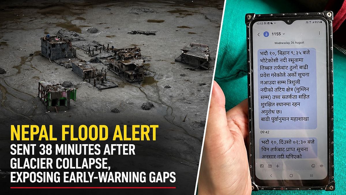
A large flood suddenly hit the border between Nepal and China.
It may have started when part of a glacier collapsed.
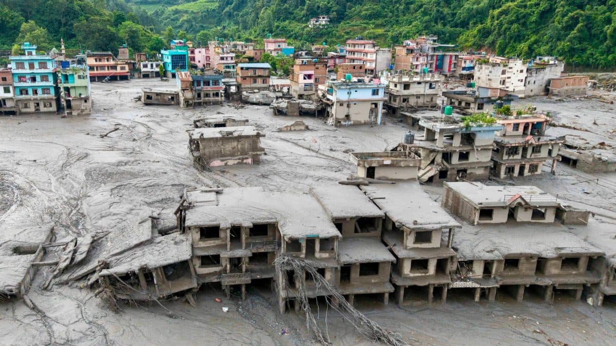
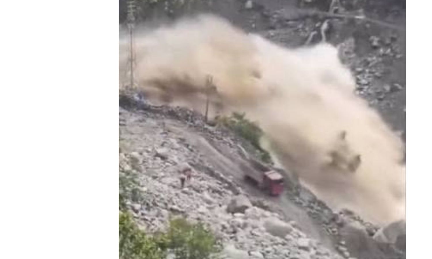
Water swept away a border crossing, villages, roads and bridges.
Hundreds of people have reportedly died, and many are still missing.
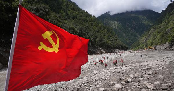
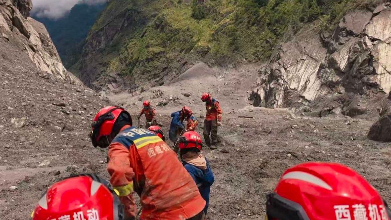
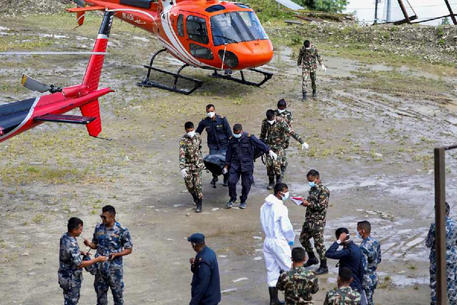
Rescuers are having trouble reaching the worst-hit places.
Nepal and China do not have a strong system for sharing warnings about dangerous lakes and rivers.
China keeps much information about Tibet under tight security controls.
Nepal also has problems, including risky construction and limited disaster-monitoring equipment.
The article argues that countries should share information quickly to help protect people from future floods and other disasters.

A flash flood linked to a collapsed glacier destroyed the Nepal-China border crossing at Rasuwagadhi-Gyirong on August 26.
Villages, bridges and roads were washed away, with hundreds reported dead and many others missing.
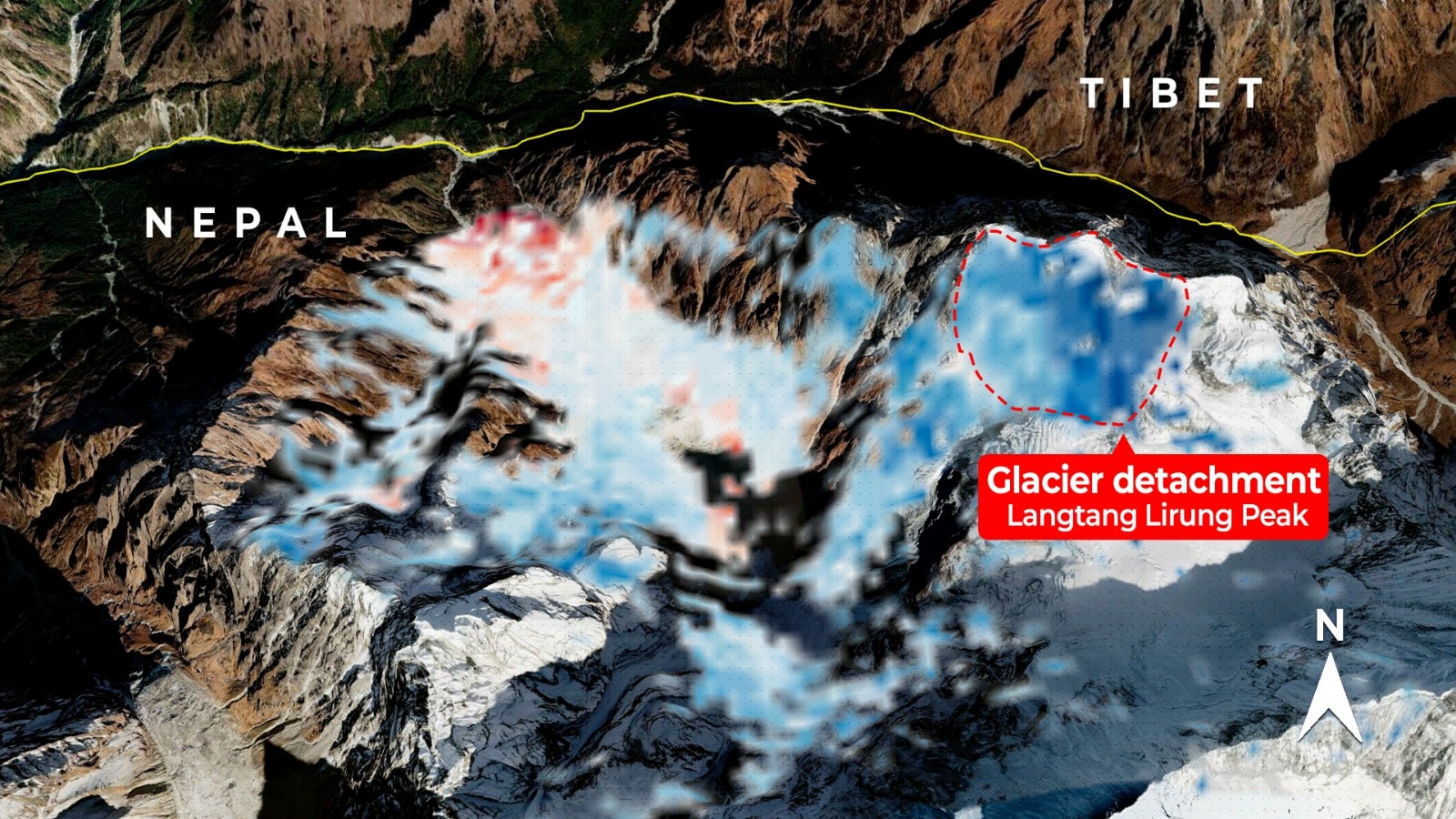
Evidence suggests the glacier collapse occurred near Nepal’s Langtang Lirung peak, though the article says the precise origin remains uncertain.
Nepal lacks a standing real-time warning system with China and has previously complained that essential glacial data was withheld.
The disaster has renewed calls for cross-border data sharing as climate change increases risks across the Tibetan Plateau and downstream regions.
- Who
- People in Nepal and Tibet, including residents, tourists and pilgrims, were affected; Nepalese and Chinese authorities are involved in the response.
- What
- A flash flood associated with a collapsed glacier destroyed infrastructure and caused deaths and disappearances.
- Where
- The Nepal-China border near Rasuwagadhi on the Nepali side and Gyirong on the Chinese side, with possible origins near Nepal’s Langtang Lirung peak.
- When
- August 26; the article does not specify the year for the flood.
- Why
- The immediate cause was a glacier-related flood, while the scale of the danger was compounded by limited early-warning capacity, restricted data sharing and development in fragile valleys.
Safety-first cooperation
Security-first border control
Sharing hydrological data
Safety-first cooperation
Nepal and other downstream countries need real-time glacial, lake and river data to issue warnings and coordinate rescues.
Security-first border control
China treats information from Tibet as strategically sensitive, limiting how quickly and widely it is shared.
Managing the border
Safety-first cooperation
Rapid cross-border access and a standing warning system could reduce deaths during floods, landslides and earthquakes.
Security-first border control
The border is administered primarily as a militarized security zone, with permits, clearances and close monitoring restricting access.
Responsibility for the disaster’s severity
Safety-first cooperation
The article emphasizes China’s restricted information environment and the absence of obligatory real-time warning arrangements.
Security-first border control
The article also identifies Nepal’s risky development, corruption and weak domestic monitoring capacity as factors that can increase disaster tolls.
Key facts
- Affected border crossing
- Rasuwagadhi in Nepal and Gyirong in China
- Reported impact
- Hundreds dead and many more missing, although the final toll was not known.
- Possible flood origin
- Evidence cited in the article points to a glacier collapse near Langtang Lirung in Nepal.
- Warning received
- Officials in Nepal’s Rasuwa district said they had no advance knowledge of the flood.
- Existing monitoring
- Nepal and China jointly monitor one dangerous transboundary glacial lake, Cirenmaco.
- Earlier incident
- A 2016 glacial-lake flood also affected Nepal without an advance warning from China.
- Broader risk
- The article says climate change is increasing cascading hazards across the Tibetan Plateau and downstream regions.
Sources
Related news

Nepal Floods Expose Warning Gaps, Spur China Data Push
China’s Information Controls Obscure Tibet Flood Damage Assessment
Nepal Flood Exposes Persistent Risks Along Border River

Nepal Flash Flood Triggers Warning Questions After Tibetan Deluge
Nepal-Tibet Glacial Collapse Spurs Calls for Early Warnings

Nepal Floods Expose Gaps in Himalayan Data Sharing
Nepal Flood Death Toll Tops 1,200 as Searches Continue
Satellite Radar May Strengthen Nepal's Flood Warning Systems
Nepal Plans New Landslide Warning System Along China Border

Nepal Thanks India as Glacial Disaster Rescue Efforts Continue
Nepal Warns of Heavy Rain After Deadly Floods