33 mins ago
Nepal Disaster Spurs Call for Multi-Hazard Himalayan Assessments

The Himalayas can have several dangers happen one after another.
For example, an avalanche can block a river and then cause a flood.
Scientists think this may have happened during a disaster in Nepal.
Satellite pictures found a large pool of trapped water near an avalanche site.
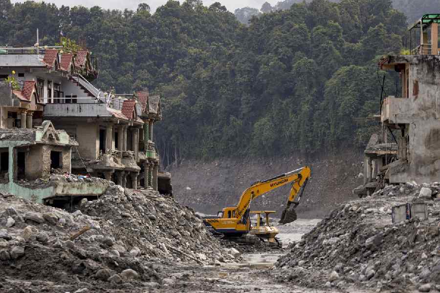
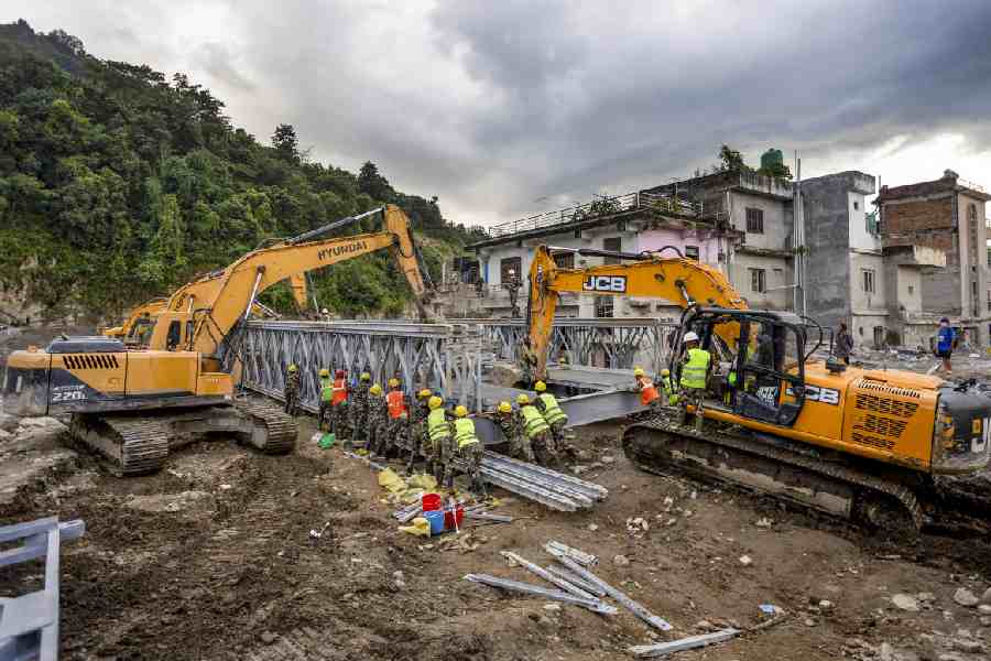
More than 1,300 people were reported killed by floods near the Nepal-Tibet border.
A geologist said scientists should watch glaciers, rocks, lakes and slopes together.
They should use satellites, instruments and visits to the ground.
He also said India should prepare carefully rather than assume every mountain town is in immediate danger.
Better monitoring and planning could give communities more time to respond.

A Geological Survey of India official said Himalayan hazards can cascade from avalanches and landslides into river blockages, debris flows and downstream floods.
Satellite imagery identified an approximately 11-hectare impounded water area near the Langtang Lirung ice-rock avalanche site on August 28.
Flash floods near the Nepal-Tibet border on August 26 devastated communities and killed more than 1,300 people, according to the report.
Pradeep Singh called for combining satellite observations, field investigations, ground instruments and flood modelling to identify unstable systems.
He cautioned that Nepal's disaster does not mean every Indian Himalayan town faces an imminent glacier-related catastrophe, because risks are site-specific.
- Who
- Pradeep Singh, a senior Geological Survey of India official, discussed the risks; the disaster affected communities in northern and central Nepal.
- What
- The Nepal disaster highlighted the need to assess interconnected Himalayan hazards, including avalanches, landslides, river blockages and floods.
- Where
- The disaster occurred near the Nepal-Tibet border, with impacts along the Bhotekoshi River; the recommendations also concern the Indian Himalayas.
- When
- The flash floods occurred on August 26, satellite imagery showed an impounded area on August 28, and the report was published September 13, 2026.
- Why
- A high-altitude failure can trigger cascading processes that amplify destruction downstream, so authorities need earlier detection and better preparedness.
Hazard-by-Hazard and Cautious Interpretation
Integrated Multi-Hazard Preparedness
How Himalayan risks should be assessed
Hazard-by-Hazard and Cautious Interpretation
Individual hazards can be examined separately, while the Nepal disaster should not be treated as evidence that every Himalayan location faces the same threat.
Integrated Multi-Hazard Preparedness
Authorities should assess the full chain from a high-altitude source failure to downstream impacts because avalanches, blockages, debris flows and floods can interact and amplify damage.
What the Nepal disaster means for India
Hazard-by-Hazard and Cautious Interpretation
Indian risk is highly site-specific and depends on local geology, slopes, glaciers, lakes, hydrology, climate, terrain and development patterns; alarm is not warranted.
Integrated Multi-Hazard Preparedness
Changing glaciers, unstable lakes and moraines, permafrost degradation, steep slopes, intense rainfall and expanding infrastructure justify stronger monitoring, land-use planning and community preparedness.
Key facts
- Reported fatalities
- More than 1,300 people were killed by the Nepal floods, according to the report.
- Impounded water area
- Satellite imagery from August 28 showed an approximately 11-hectare water area near the Langtang Lirung ice-rock avalanche site.
- Main river
- The Bhotekoshi River carried floodwaters downstream, sweeping away homes, roads and bridges.
- Recommended assessment
- Singh urged a shift from hazard-by-hazard analysis to source-to-impact multi-hazard assessment.
- Monitoring tools
- Suggested tools include multi-temporal InSAR, optical feature tracking, DEM differencing, field instruments and ground observations.
- Sikkim comparison
- A glacial lake outburst in Sikkim in October 2023 caused at least 60 fatalities and extensive damage in four districts.
- Glacier studies
- Geological Survey of India studies of nine Himalayan glaciers recorded overall negative average annual specific mass balance.
Quotes
Pradeep Singh
ADG of Policy Support System at the Geological Survey of India
“The key shift required is from hazard-by-hazard assessment to source-to-impact multi-hazard assessment. It allows authorities to understand not only where instability may occur, but also what could happen next and who or what may be exposed downstream,”
 thehindubusinessline.com
“A single instability at high elevation can initiate a sequence involving an avalanche, landslide or glacier failure, river blockage, dam-break type release, debris flow and downstream flooding. Such processes can interact and amplify one another.”
thehindubusinessline.com
Sources
Related news

Nepal Glacier Avalanche Exposes Cascading Himalayan Disaster Risks
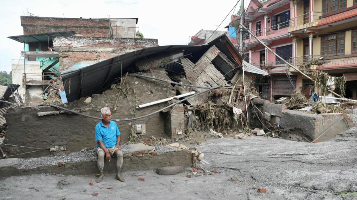
Nepal Flood Exposes Himalayan Cascading Hazard Risks

Nepal Glacier Disaster Exposes India’s Himalayan Risk-Planning Challenge
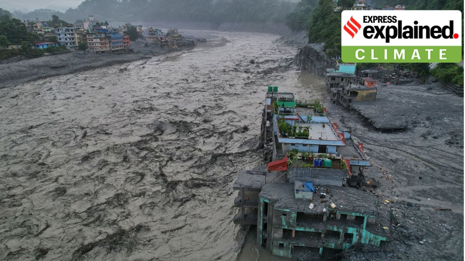
Nepal Flood Exposes Gaps in Himalayan Early Warnings
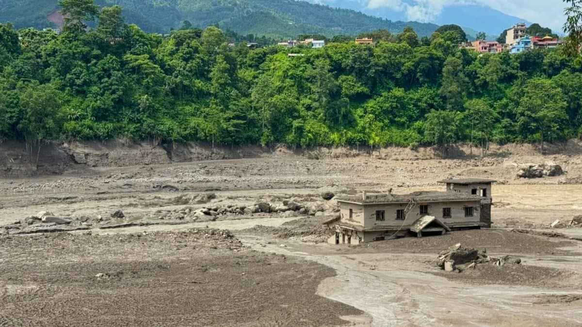
Nepal Disaster Highlights Growing Complexity of Himalayan Hazards

BRICS Pushes Global South Climate Priorities in Delhi Declaration

Nepal Army Chief Sigdel Begins Week-Long China Visit

India Sends Bailey Bridge Components to Flood-Hit Nepal
India, Nepal Continue Rescue For Six Trapped Tunnel Workers