

1 day ago
Nepal Glacier Disaster Exposes India’s Himalayan Risk-Planning Challenge

Scientists are getting better at finding glaciers and lakes that might become dangerous.
They can use satellites, computer models and field studies to estimate where falling ice or floods could travel.
But finding a risk is easier than deciding how to prevent it.
Officials might use warning systems, remove water from some lakes or monitor vibrations in the ice.
Researchers do not yet know exactly which vibrations reliably predict an ice collapse.
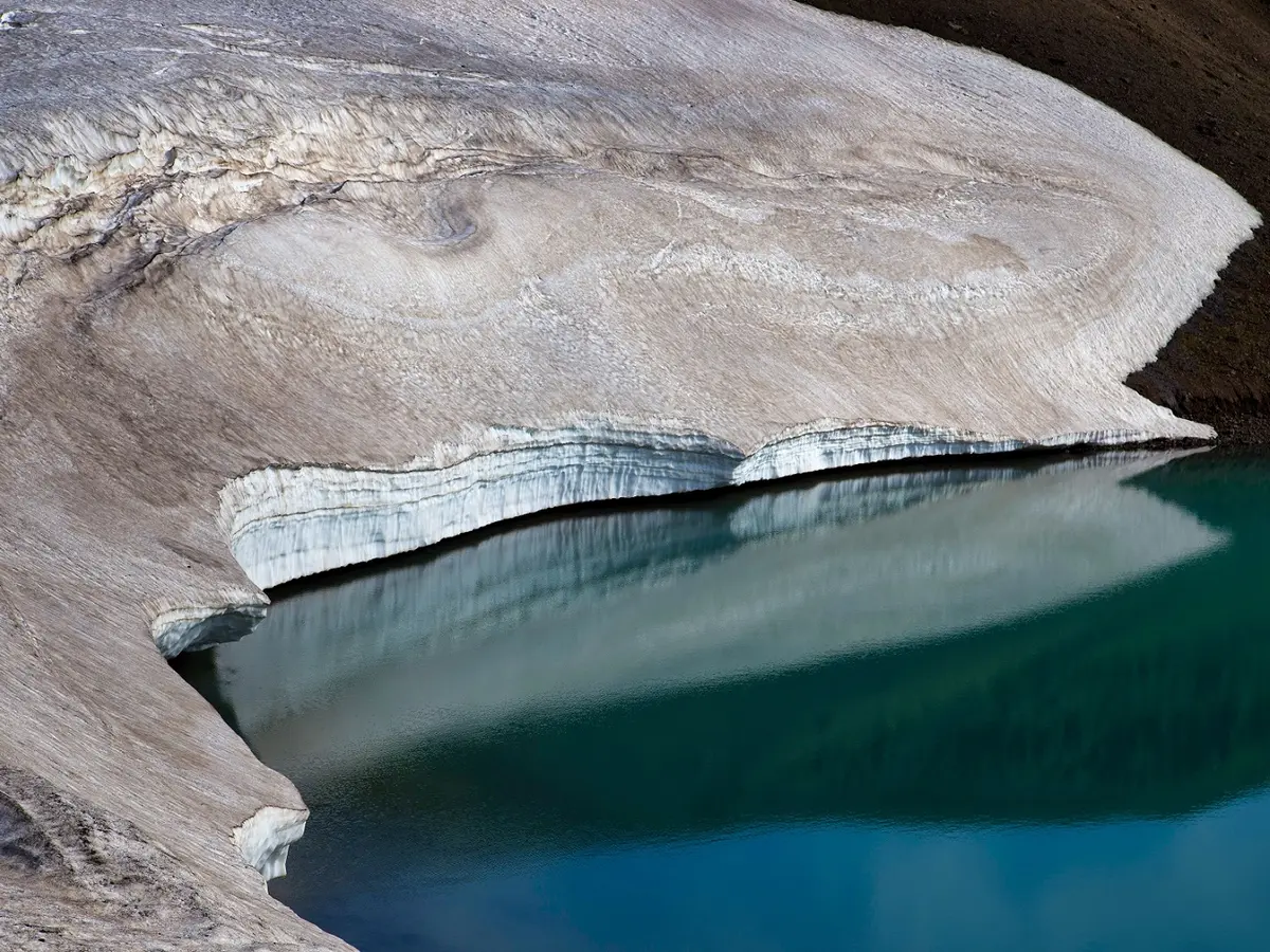
Climate change is causing glaciers to retreat, lakes to form and frozen ground to weaken.
These changes can make mountain slopes less stable.
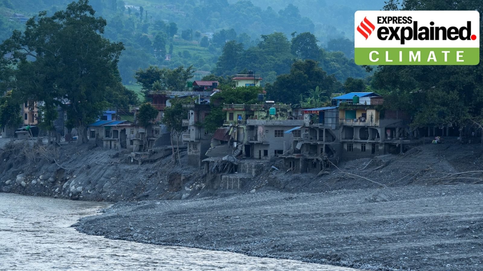
Roads, bridges and hydropower projects built close together could be damaged one after another.
Experts say Himalayan development must account for changing mountain conditions.

Scientists can increasingly map dangerous glaciers and model potential impact zones, but preventive action remains difficult.
Anil Kulkarni’s team has mapped about 800 hanging glaciers in Uttarakhand and assessed possible breakage areas.
Potential responses include early-warning systems, dewatering glacial lakes, vibration monitoring and seismic monitoring.
Satellite imagery can track glacial lakes but cannot alone determine whether a lake will burst.
Experts say climate change and concentrated infrastructure are increasing the risk of cascading disasters in Himalayan valleys.
- Who
- Glaciologist Anil Kulkarni and GLOF expert Ashim Sattar discussed the risks; scientists and authorities are involved in planning responses.
- What
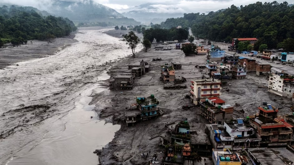
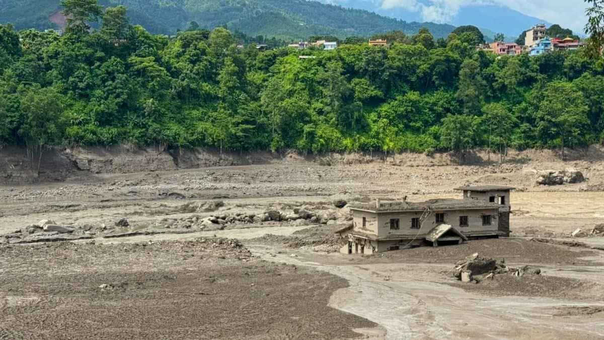
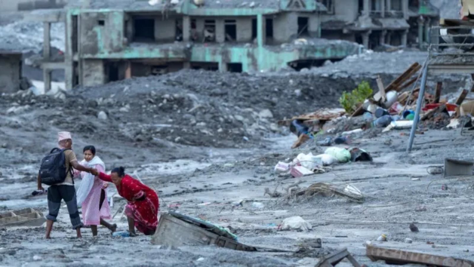
- A recent glacier-related disaster in Nepal has highlighted difficulties in turning glacier-risk assessments into preventive action in the Himalayas.
- Where
- The issue concerns Nepal and India’s high-altitude Himalayas, including Uttarakhand.
- When
- The report was published on August 31, 2026, and describes the Nepal incident as recent.
- Why
- Climate change is contributing to glacier retreat, glacial-lake formation and permafrost degradation, while infrastructure in Himalayan valleys could amplify disaster impacts.
Key facts
- Glaciers mapped
- Kulkarni’s team has mapped around 800 hanging glaciers in Uttarakhand.
- Risk assessment
- Scientists can model the likely trajectory and impact of sections that break from hanging glaciers.
- Possible measures
- Authorities could consider early-warning systems, dewatering potentially dangerous glacial lakes and other preventive actions.
- Monitoring research
- An India-Switzerland collaboration is examining fibre-optic, vibration and seismic monitoring technologies.
- Limits of satellites
- Satellite imagery shows how glacial lakes form and change but cannot alone establish whether a lake will burst.
- Climate pressures
- Experts cited glacier retreat, glacial-lake formation and permafrost degradation as signs of changing conditions.
- Infrastructure risk
- Hydropower projects, roads and bridges concentrated in valleys may experience cascading failures after a disaster.
Quotes
Anil Kulkarni
Indian glaciologist discussing the difficulty of turning risk assessments into preventive action
“We have evidence that the glaciers are reacting to climate change, because the glaciers are retreating… the glacier lakes are forming, the permafrost is degrading”
 thehindubusinessline.com
“The cascading effect that one disaster feeding into another disaster and creating more problem for infrastructure and society is really happening.”
thehindubusinessline.com
Sources
Related news
Expert Warns Himalayan Flash-Flood Risks Grow Amid Nepal Catastrophe
Himachal Pradesh Identifies 67 Vulnerable Glacial Lakes, Plans Warnings
Nepal Disaster Highlights Growing Complexity of Himalayan Hazards
Hanging Glaciers Raise Major Avalanche Risks Across India
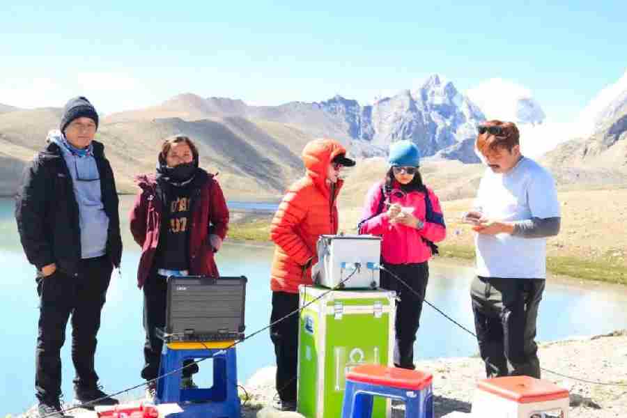
Nepal Flood Highlights Sikkim’s Hanging Glacier Threat and Preparedness

Nepal Floods Spur Calls for Glacier Assessments and Land-Use Reform

Nepal Thanks India as Glacial Disaster Rescue Efforts Continue
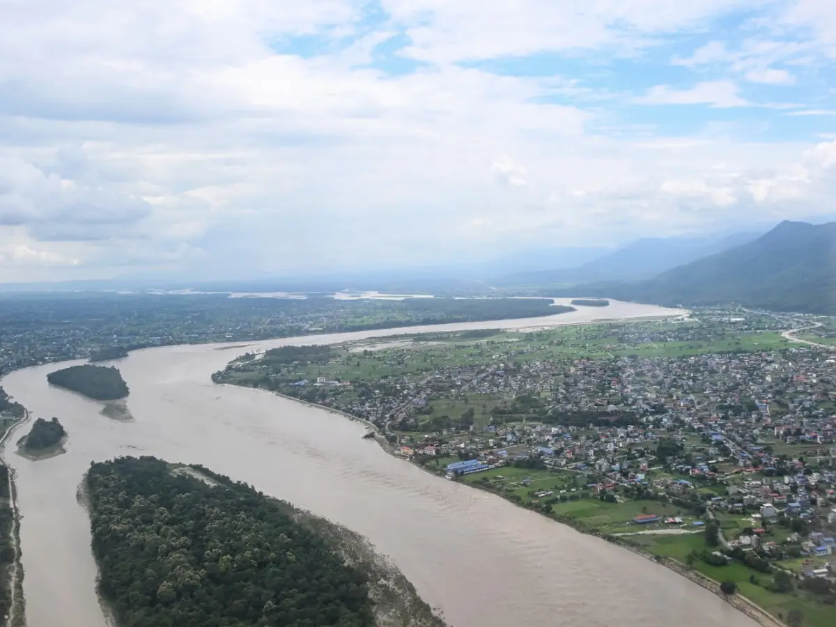
Nepal Warns of Heavy Rain After Deadly Floods
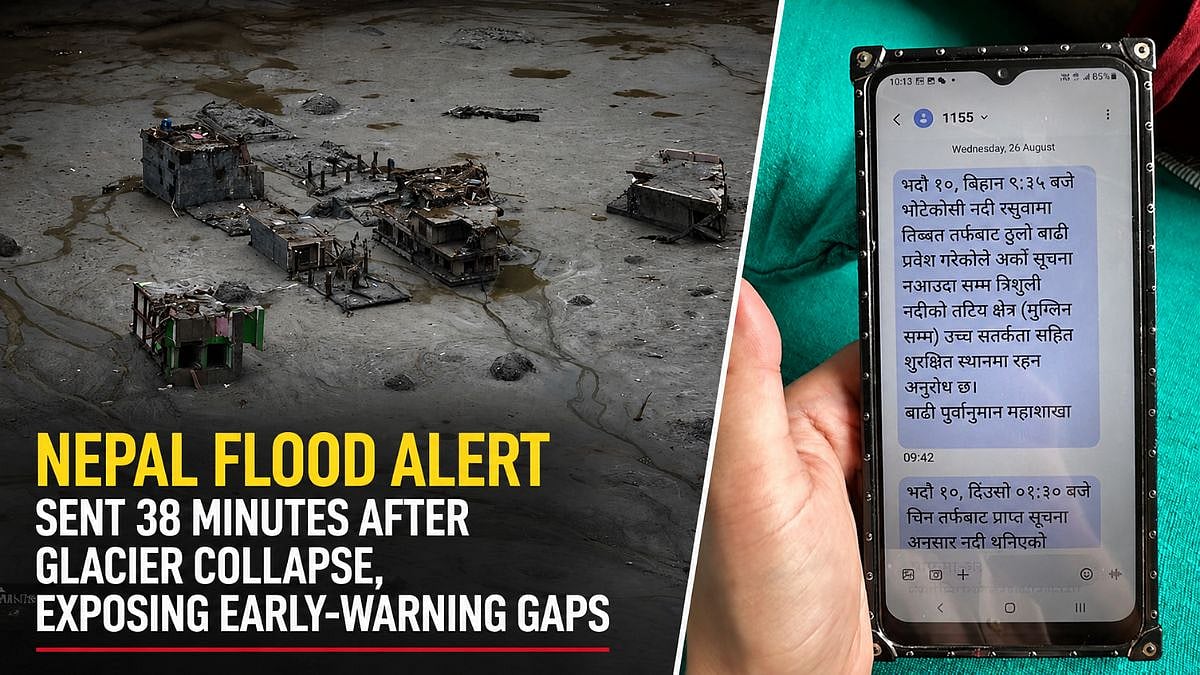
Nepal Flood Exposes Delayed Alerts and Cross-Border Warning Gaps
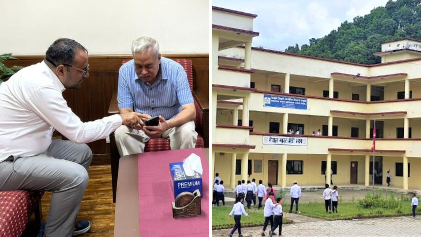
India to Rebuild Nepal School After Principal Saves 1,600
Maharashtra Mountaineers Join Search for Missing Nepal Trekkers
