4 days ago
Glacial Fall and Flood Surge Devastate Nepal, Reach India
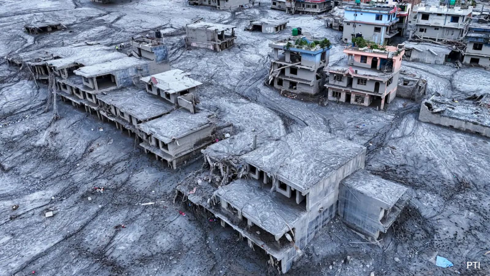
On August 26, a large mass of ice, rock, mud and water rushed down Himalayan rivers.
The event began near the border between Nepal and China.
Scientists disagree about whether an earthquake caused the collapse or whether a collapsing glacier caused the earthquake-like shaking.
The rushing material traveled almost 100 kilometers through Nepal.
It destroyed villages, roads, a Chinese border port and other buildings.
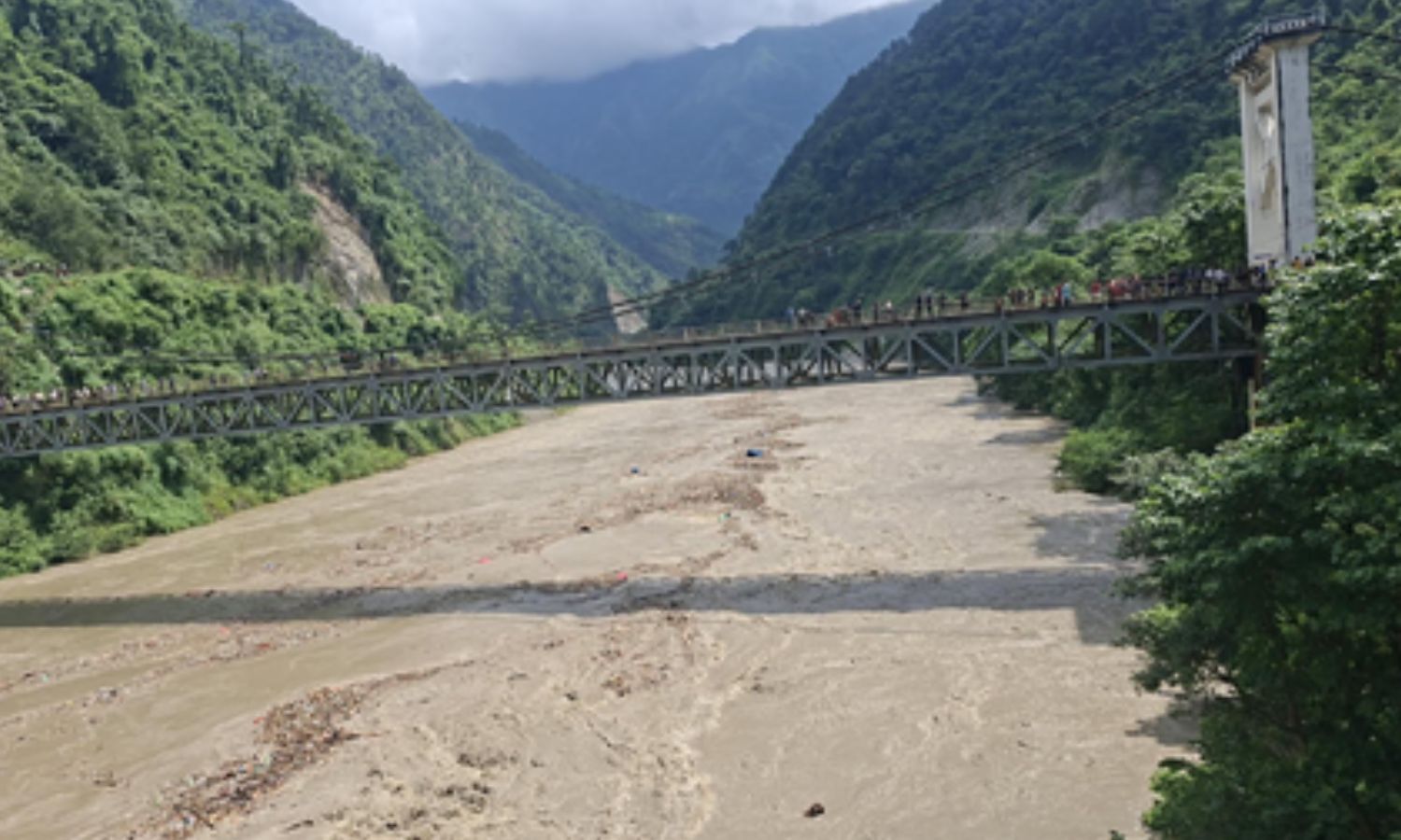
The Trishuli River rose nine metres in just 30 minutes.
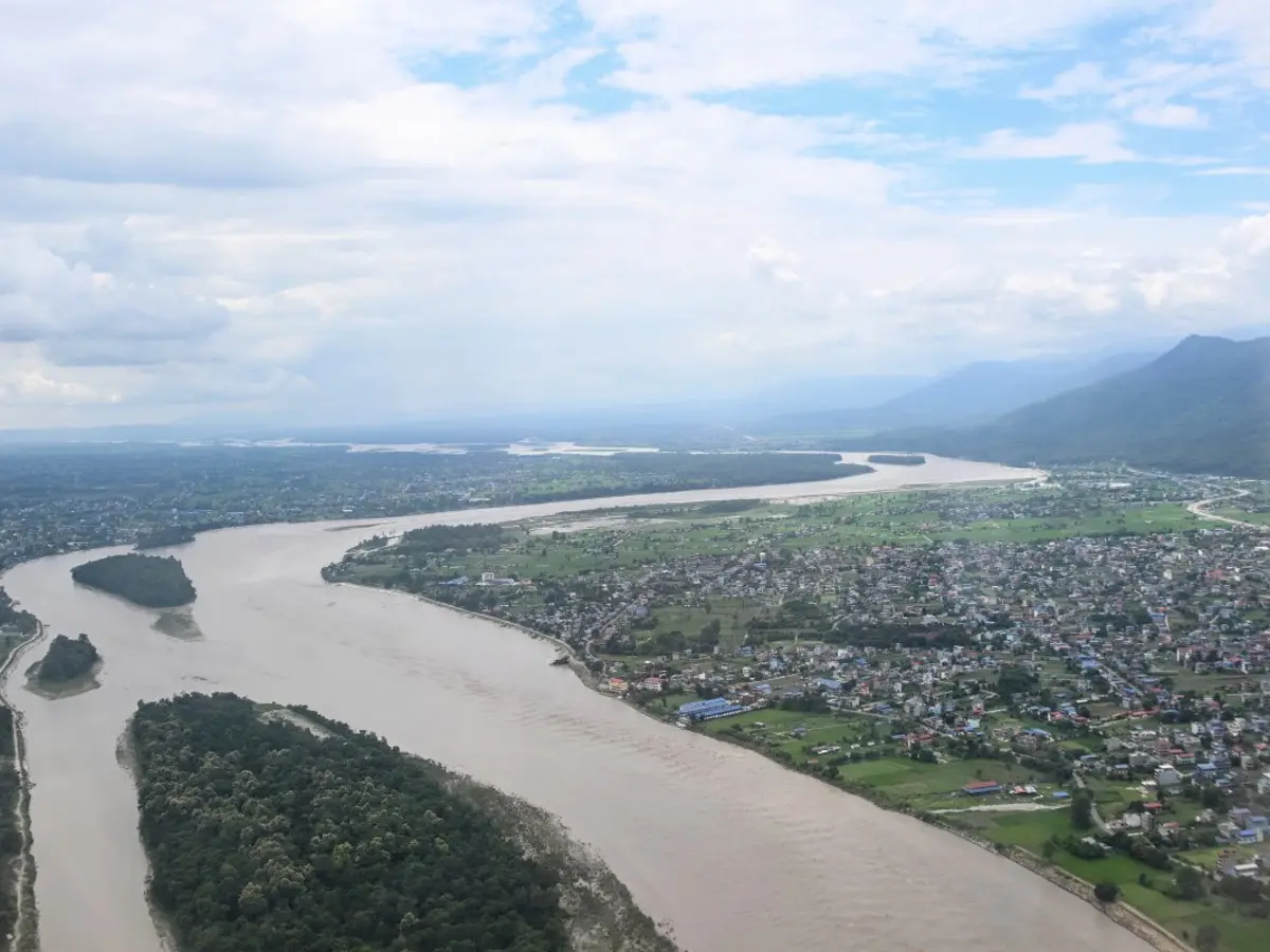
The floodwater then flowed into India through the Narayani River.
Officials in China warned that another lake formed by a landslide might overflow.
Authorities in India opened all the gates of the Gandak Barrage to manage the rising water.

A seismic signal struck near the Nepal-China border at 8:37 a.m. Nepal time on August 26.
The United States Geological Survey linked the shaking to a glacier-involving slope failure, while an Indian preliminary assessment proposed an earthquake-triggered collapse.
Ice, rock, mud and water traveled nearly 100 kilometers through rivers in Nepal, destroying communities and infrastructure.
The surge flattened China’s Gyirong Port and disrupted more than 10 hydropower projects, representing over 12% of Nepal’s electricity capacity.
Floodwater reached India’s Gandak Barrage, while China warned that another border barrier lake could breach.
- Who
- Communities in Nepal were affected, while authorities and scientists in Nepal, China, India, the United States and the wider Himalayan region assessed the disaster.
- What
- A glacier- or landslide-related collapse sent ice, rock, mud and water through several rivers, causing extensive flooding and destruction.
- Where
- The sequence began near the Nepal-China border at more than 5,000 metres in the Himalayas, crossed Tibet and Nepal, and later reached India through the Narayani River.
- When
- The event began at 8:37 a.m. Nepal time, or 8:22 a.m. Indian Standard Time, on August 26.
- Why
- The immediate trigger remains disputed: the United States Geological Survey suggested rapid slope failure, while an Indian preliminary assessment suggested an earthquake triggered a glacier collapse.
Landslide-First Interpretation
Earthquake-First Interpretation
Initial trigger
Landslide-First Interpretation
The United States Geological Survey said seismic waves were likely generated by rapid slope failure involving a glacier in Langtang National Park, although it had not determined whether this was a glacier-involving landslide or a glacial collapse.
Earthquake-First Interpretation
India’s remote sensing centre offered a preliminary interpretation that a magnitude 4.9 earthquake triggered the collapse of a glacier, with the sequence beginning on the Tibetan side.
Scientific certainty
Landslide-First Interpretation
The United States Geological Survey revised its initial interpretation but still said the precise mechanism was unclear.
Earthquake-First Interpretation
The International Centre for Integrated Mountain Development said the trigger remained unconfirmed, so the earthquake-first explanation was also not established.
Key facts
- Initial seismic reading
- Monitoring networks first recorded the event as a magnitude 4.4 earthquake.
- United States Geological Survey assessment
- The agency later attributed the seismic waves to a glacier-involving landslide, with energy equivalent to a magnitude 5.2 earthquake.
- Alternative assessment
- India’s remote sensing centre preliminarily described a magnitude 4.9 earthquake triggering a glacier collapse.
- Debris travel
- The primary bulk of the debris traveled close to 100 kilometers.
- River rise
- The Trishuli River rose nine metres in 30 minutes.
- Infrastructure impact
- More than 10 hydropower projects went offline, affecting over 12% of Nepal’s electricity capacity.
- Gandak Barrage discharge
- Discharge peaked at 1.50 lakh cusecs late on August 26.
Quotes

United States Geological Survey
US scientific agency that assessed the event’s likely trigger
“likely triggered by rapid slope failure involving a glacier in Langtang National Park, Nepal, near the border with China”
 NDTV
NDTV
“It is unclear if the initial slope failure was a landslide incorporating part of a glacier or a glacial collapse.”
NDTV
Sources
Related news

USGS Confirms Glacial Collapse Caused Deadly Nepal Flash Floods
Nepal Border Flood Mystery Shifts From Earthquake To Glacier Collapse

Nepal Flood May Have Begun With Border Ice Avalanche
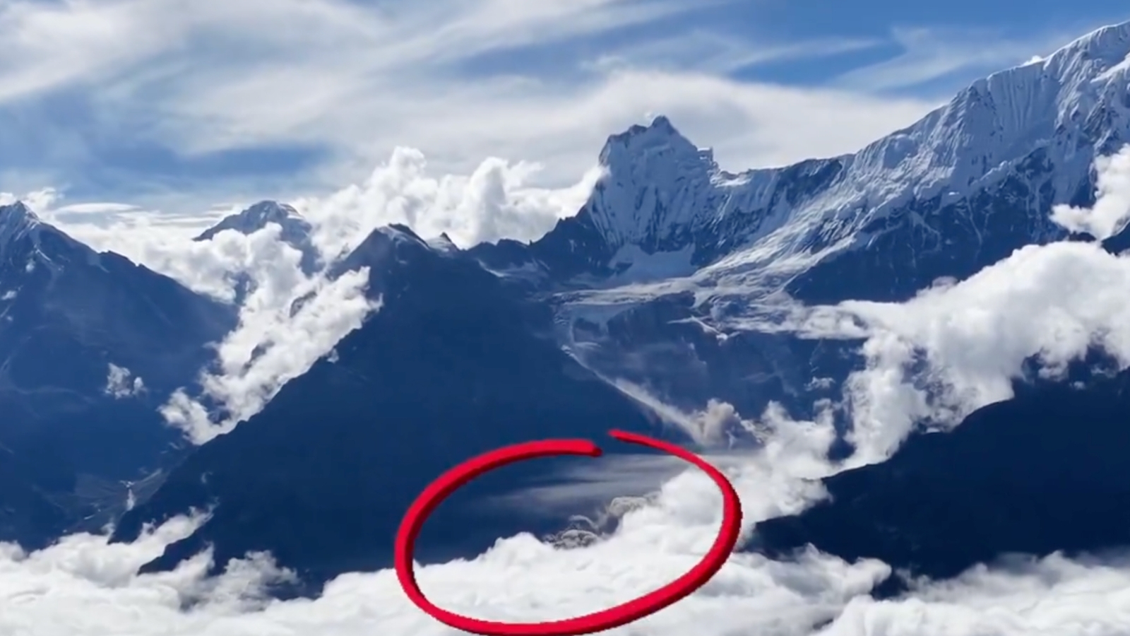
Drone Footage Reveals Glacier Collapse Behind Nepal-Tibet Floods
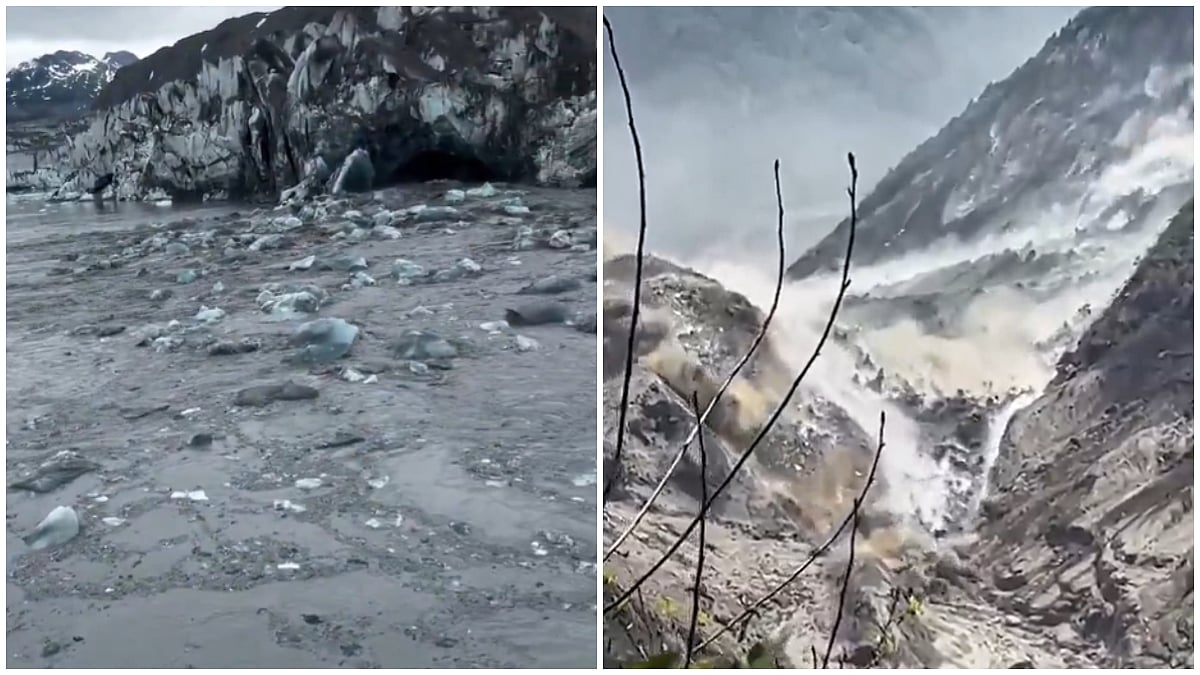
Scientists Link Nepal's Deadly Floods to 5,200-Metre Ice-Rock Avalanche
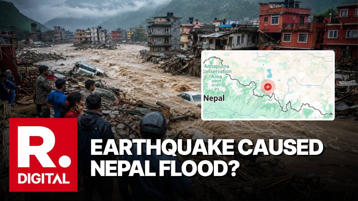
Nepal Flash Floods: Possible Avalanche, Earthquake or GLOF Triggers
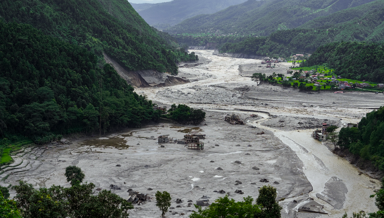
Kailash Flood Tragedy Puts Sadhguru’s Safety Claims Under Fire

Nepal Flood Death Toll Tops 1,200 as Searches Continue
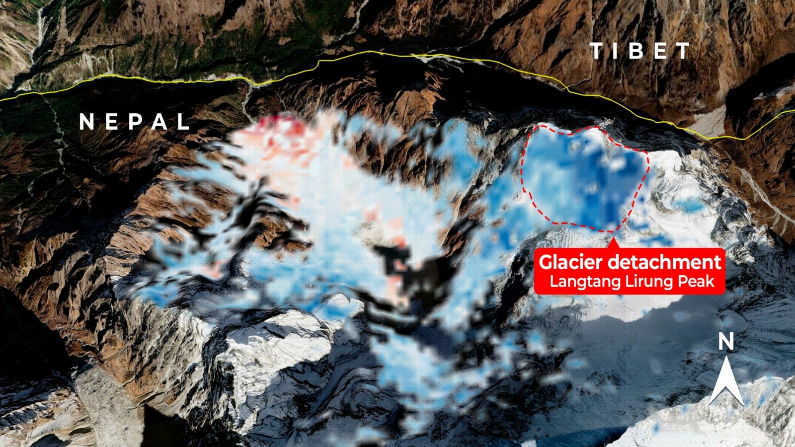
Satellite Radar May Strengthen Nepal's Flood Warning Systems
Nepal Plans New Landslide Warning System Along China Border

Nepal Thanks India as Glacial Disaster Rescue Efforts Continue