

5 days ago
Drone Footage Reveals Glacier Collapse Behind Nepal-Tibet Floods
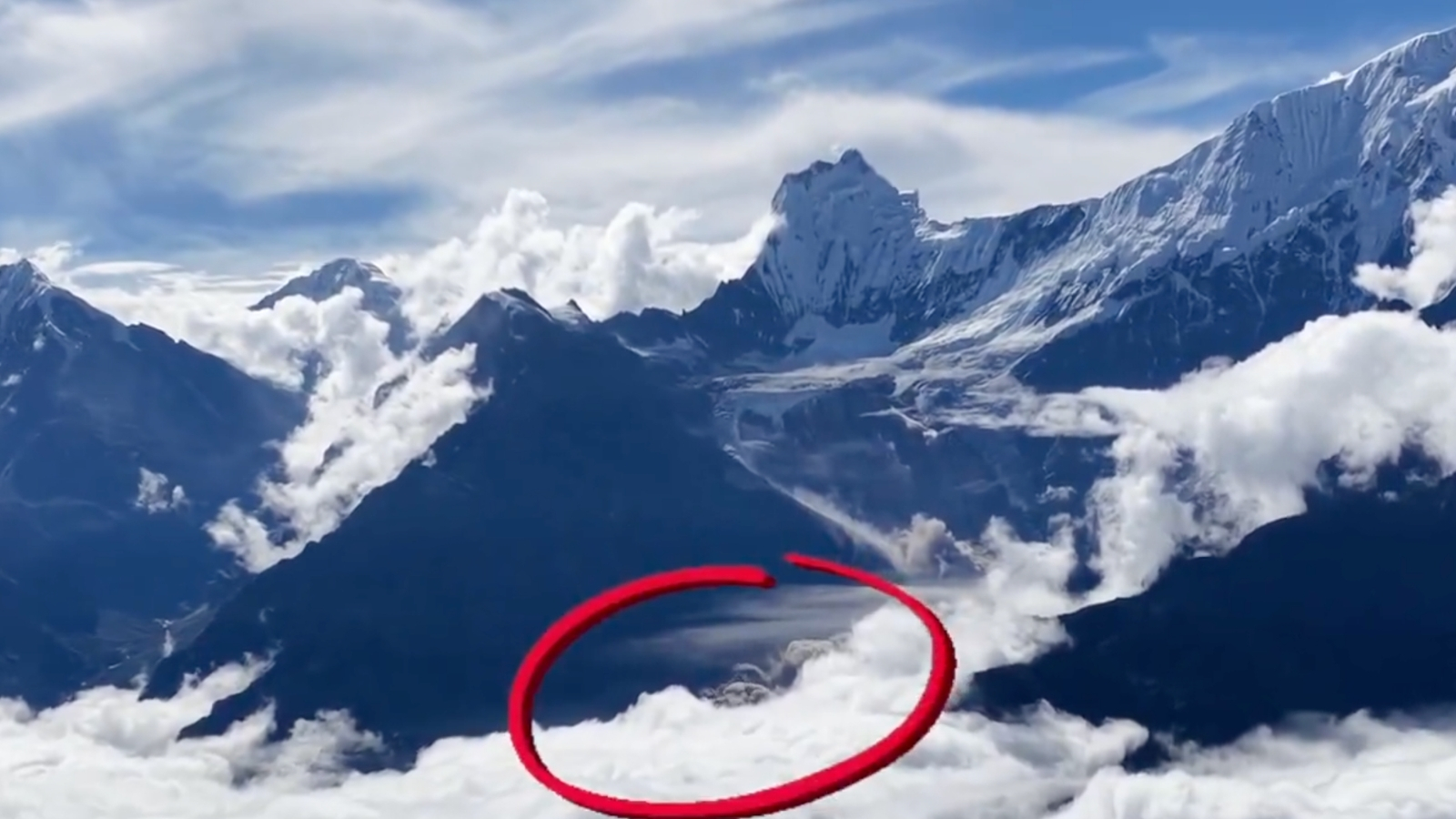
A large piece of ice and rock broke away from a Himalayan glacier in Nepal.
A drone accidentally recorded the dusty collapse.
The falling material may have blocked a river like a temporary wall.
Water built up behind the blockage and then rushed downstream when the wall broke.
The flood damaged villages, roads, bridges and power lines in Nepal and Tibet.
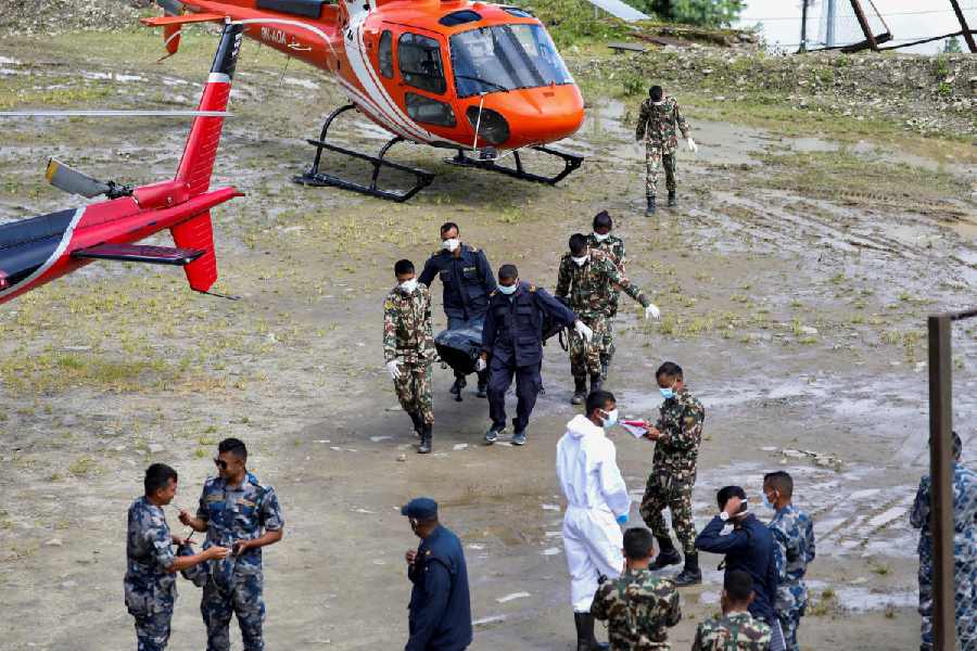
Many people died or went missing, and rescue teams searched for survivors.
Another lake formed from the debris and briefly created a new flood danger.
Scientists are still studying exactly how the disaster happened.

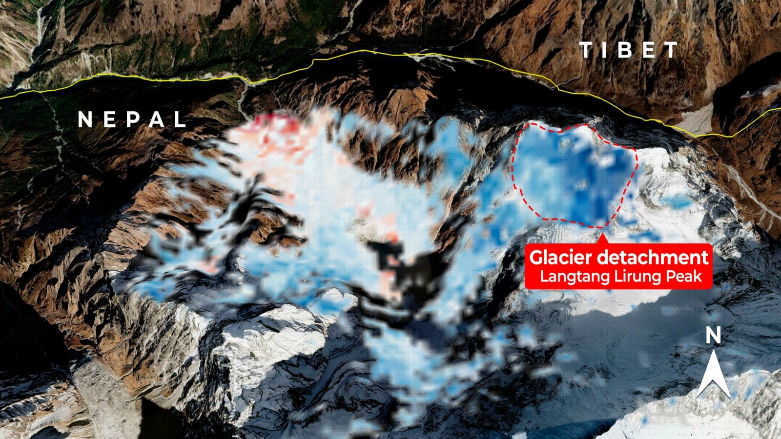
Drone footage authenticated by BBC Verify shows a landslide near Nepal’s Langtang Lirung peak before devastating floods.
Scientists increasingly believe falling ice and rock blocked the Lhende River before the barrier failed and released water and debris downstream.
Nepal reported hundreds dead and missing, while China reported five deaths and hundreds missing in Tibet.
Floods destroyed roads, bridges and power infrastructure along the route connecting Kathmandu with Lhasa.
A newly formed lake briefly threatened another flood, while about 320 Indian nationals remained uncontactable.
- Who
- Communities in Nepal and Tibet were affected; rescue teams, scientists and authorities are investigating and responding.
- What
- A high-altitude glacier collapse may have caused a temporary river blockage and deadly floods downstream.
- Where
- Near Langtang Lirung peak in Nepal, with flooding through the Lhende, Bhotekoshi and Trishuli river systems and into Tibet.
- When
- The collapse and floods occurred this week, with the supplied report dated August 28, 2026.
- Why
- The leading explanation is that falling ice and rock blocked a river, then the barrier failed and released water and debris.
Glacier-Collapse Explanation
Earlier Alternative Theories
Cause of the floods
Glacier-Collapse Explanation
Nepal’s disaster authority, Chinese and Nepali experts, and material attributed to the United States Geological Survey increasingly point to a high-altitude glacier collapse or ice-and-rock avalanche, followed by a debris flow and temporary river blockage.
Earlier Alternative Theories
Initial theories included a glacial lake outburst flood, known as a GLOF, and an avalanche; scientists were still examining the precise chain of events.
Evidence and certainty
Glacier-Collapse Explanation
Drone footage, satellite imagery and seismic data provide evidence consistent with a collapse near Langtang Lirung; the United States Geological Survey reported a magnitude 5.2 glacier-collapse event.
Earlier Alternative Theories
The supplied reports say scientists have not yet established the exact sequence conclusively and continue to compare satellite, seismic and ground-level information.
Key facts
- Recorded location
- Near Langtang Lirung peak, more than 7,200 metres above sea level
- Leading cause
- A glacier collapse or ice-and-rock avalanche followed by a temporary river blockage
- Reported Nepal impact
- Hundreds of deaths and hundreds of people missing
- Reported China impact
- Five deaths and hundreds of people missing in Tibet
- Rescues in Nepal
- More than 3,700 people rescued, according to the latest supplied Associated Press update
- New flood threat
- A debris-blocked lake exceeded 2.5 million cubic metres before overflowing into the Bhotekoshi River
- Indian nationals
- Around 320 remained uncontactable; 96 stranded in China had crossed into Nepal by land
Quotes

Lin Jian
Spokesperson for China’s Foreign Ministry
“may have been triggered by the collapse of a high-altitude glacier in Nepal”
 indianexpress.com
Sources
Related news
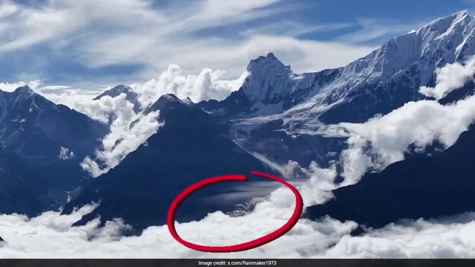
Drone Footage Shows Nepal Glacier Collapse Behind Deadly Floods
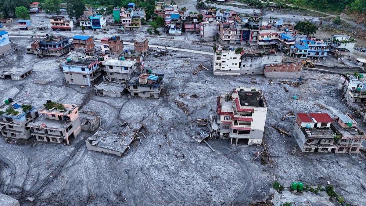
China, Nepal Link Glacier Collapse to Deadly Border Floods

China Links Nepal-Tibet Flood Disaster to Glacier Collapse

Scientists Link Nepal Floods to Possible Ice-Rock Avalanche

USGS Confirms Glacial Collapse Caused Deadly Nepal Flash Floods
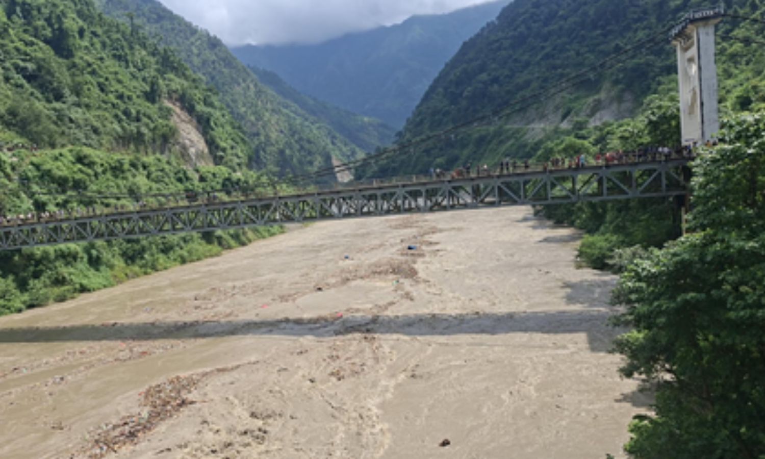
Nepal Border Flood Mystery Shifts From Earthquake To Glacier Collapse
Satellite Radar May Strengthen Nepal's Flood Warning Systems
Nepal Plans New Landslide Warning System Along China Border

Nepal Thanks India as Glacial Disaster Rescue Efforts Continue
Nepal Warns of Heavy Rain After Deadly Floods
Nepal Flood Exposes Delayed Alerts and Cross-Border Warning Gaps
