2 weeks ago
Assam's July Floods: More Than Just the Brahmaputra
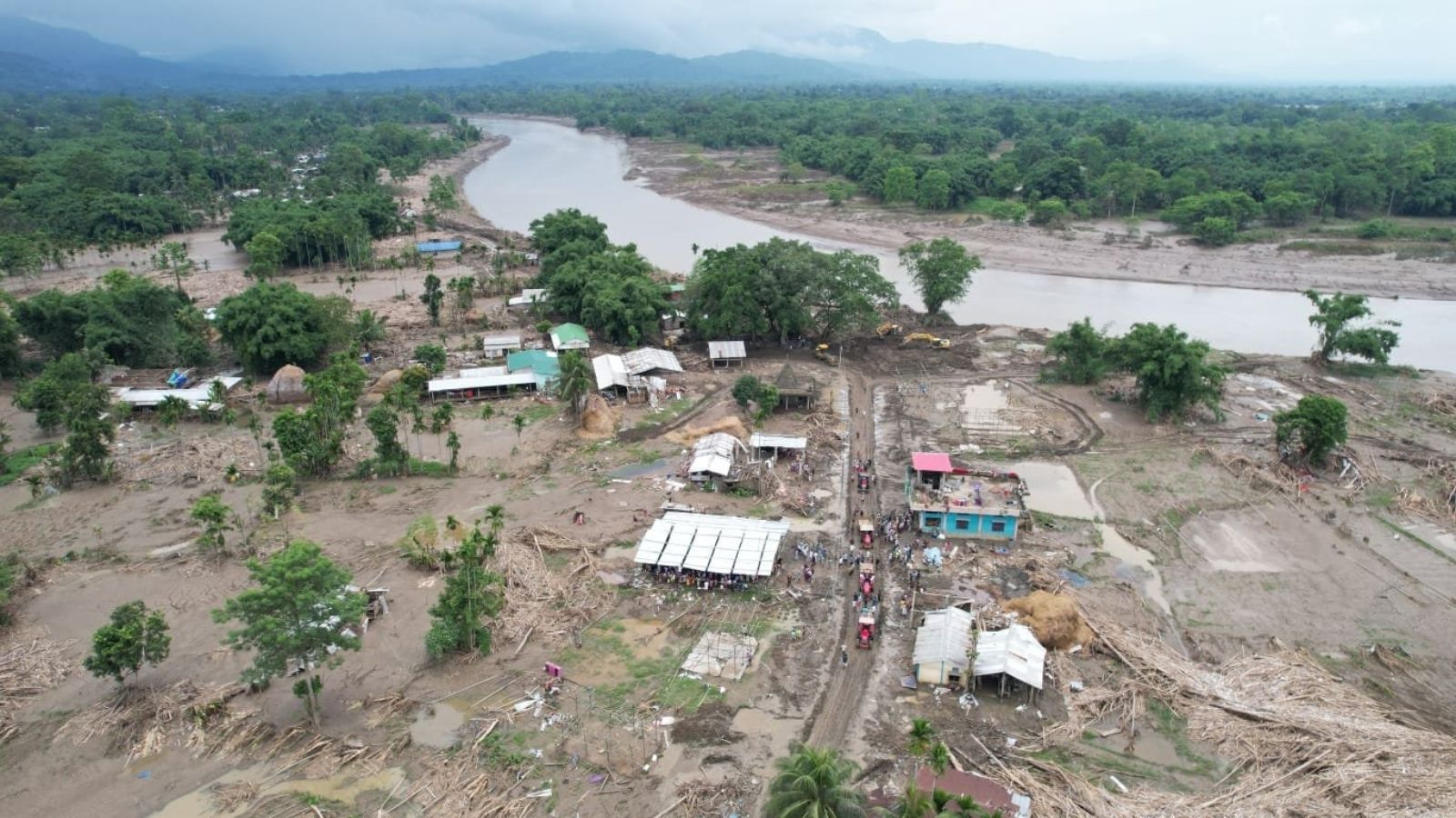
In July 2026, big floods hit a part of India called Assam.
The water poured down from the hills of Nagaland and Arunachal Pradesh into rivers that were not ready for it.
The floods did not happen just because of heavy rain, the story goes back almost 200 years.
Long ago, people cut down many forests to grow tea and to dig up coal and oil.
Without trees and healthy soil, the ground cannot soak up rain, so the water rushes downhill very fast.
People also built long earth walls called embankments to keep rivers in line, but these changed how the land works and made people feel safe enough to live in risky lowlands.
The weather is changing too, bringing sudden heavy downpours instead of steady, gentle rain.
Because of all this, farms, roads, bridges, schools and homes were flooded, and many crops and animals were lost.
The writer says the environment is close to a breaking point, but it can still be saved if we take better care of the land and water together.

Flooding in the third week of July 2026 struck the south-bank rivers of Upper Assam, hitting districts long unaccustomed to catastrophic floods.
Relentless July rains in the Naga Hills and Arunachal Pradesh unleashed sudden torrents into the region's southern tributaries, surging before the Brahmaputra itself crested.
Stone and boulder extraction, small-scale coal mining, logging and shorter cultivation cycles in the uplands have eroded the land's ability to absorb rainfall.
Colonial-era tea plantations and later coal and petroleum extraction cleared forests, while mid-20th century embankments interrupted sediment flow and drew people into flood-prone lowlands.
Meteorologists report India's monsoon has become more unpredictable, with sudden downpours and dry spells, as warmer air holds more moisture.
- Who
- Residents, farmers and livestock owners of Upper Assam's south-bank districts, whose crops, livestock and infrastructure were destroyed.
- What
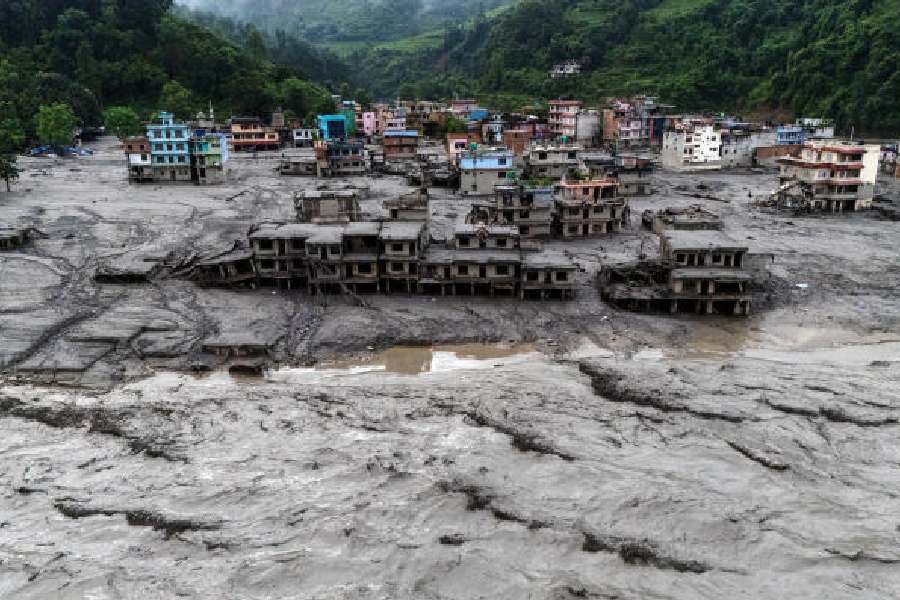
- Catastrophic flash flooding of the south-bank tributaries of Upper Assam, which submerged paddy fields, swept through villages and towns, and ruined embankments, roads, bridges, schools and homes.
- Where
- Upper Assam in Northeast India, with flood-driving rainfall originating in the Naga Hills and Arunachal Pradesh; the region sits between the Eastern Himalaya, the Patkai and Barail ranges, and the Bay of Bengal.
- When
- Third week of July 2026.
- Why
- A combination of intense July rains, long-term land-use changes (deforestation, stone and boulder extraction, coal mining, plantations), embankments that disrupted natural sedimentation, and an increasingly unpredictable monsoon.
Engineering-led flood control
Ecological restoration
How to manage floods
Engineering-led flood control
Embankments shield settled floodplains from floods and create a sense of safety for residents.
Ecological restoration
Embankments interrupt natural sediment flow, can breach suddenly, and resilience cannot be rebuilt by technology alone; the region needs ecological restoration.
Upland resource extraction
Engineering-led flood control
Small-scale coal mining and stone and boulder extraction are woven into local economies.
Ecological restoration
These activities, along with logging and expanding infrastructure, strip the land of its ability to absorb rainfall and worsen downstream flooding.
Key facts
- Event
- Catastrophic floods on the south-bank rivers of Upper Assam
- Timing
- Third week of July 2026
- Rainfall source
- Naga Hills and Arunachal Pradesh
- Impact
- Thousands of hectares of crops lost; livestock, embankments, roads, bridges, schools and homes damaged
- Historical driver
- Mid-19th century colonial tea plantations; later coal and petroleum extraction
- Embankment campaign
- Mid-20th century; by 1988 two-thirds of the valley still lay open to flooding
- Climate trend
- More unpredictable monsoon with sudden downpours and dry spells
Sources
Related news
Upper Assam's Flood Catastrophe Blamed on River and Mountain Grabbing
Assam rebuilds after floods kill 97, displace 12 lakh
Why Assam floods every monsoon, what is different this year

Assam Floods Kill At Least 100 Amid Monsoon Deluge
Nepal and Upper Assam Disasters Expose Climate Risks

Himalayan warming, human settlements cited as Assam flood crisis causes

Northeast Weaves Take Center Stage at Delhi Fashion Week

GST Collection Rises Nearly 15% To About Rs 2 Lakh
Nagaland Assembly Tables Revised Frontier Territorial Authority Bill

Delhi Fashion Week Showcases Khadi and Northeast India’s Heritage