2 weeks ago
Upper Assam's Flood Catastrophe Blamed on River and Mountain Grabbing
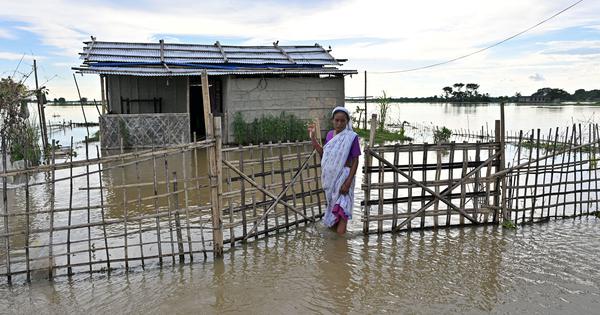
During the summer of 2026, very heavy rain caused huge floods in Upper Assam, a part of India.
The water covered almost 800 villages and farms, and more than 100 people died.
Nearly 700,000 people were affected and had to leave their homes.
Floods happen in Assam every year, and people there are used to them, but this flood was much worse than usual.
Some people say humans caused the extra damage.
Digging for sand and stones damaged the bottoms of rivers, and hills in nearby Nagaland lost their trees because of cutting and coal mining.
Big walls called embankments, built to stop floods, also stopped rivers from flowing into fields, so water stayed in some areas for a long time.
Many kind people helped, bringing food and supplies in cars and trucks.
The writer says the government should take better care of nature instead of only building more embankments.

Floods that began on July 19 have hit four Upper Assam districts, submerging nearly 800 villages and about 1,19,000 hectares of cropland.
The death toll has crossed 100, with more than 70% of deaths reported in Sivasagar and Charaideo districts.
Roughly seven lakh people have been affected and countless cattle have died.
Writer Mitul Baruah links the catastrophe to illegal riverbed mining, coal mining and deforestation in Nagaland's hills, and embankments that disconnect rivers from floodplains.
Assam's worst floods since the 1950s have drawn huge citizen solidarity, with many relief vehicles carrying banners reading 'Zubeen's Country'.
- Who
- Residents of four Upper Assam districts, most severely Sivasagar and Charaideo, where over 70% of deaths were reported; and article author Mitul Baruah, a sociologist at Ashoka University.
- What
- Catastrophic flooding that submerged nearly 800 villages and about 1,19,000 hectares of cropland, killing more than 100 people and affecting roughly seven lakh.
- Where
- Four districts of Upper Assam in the Brahmaputra Valley, India, including Sivasagar and Charaideo.
- When
- Since July 19, 2026; the death toll crossed 100 on Monday, August 10, 2026, nearly three weeks after the floods began.
- Why
- Heavy monsoon rain combined with illegal sand and stone mining in riverbeds, coal mining and deforestation in Nagaland's hills, and embankments that cut rivers off from floodplains turned a natural flood into a catastrophe.
Ecologists and critics
State and embankment proponents
How to manage floods
Ecologists and critics
Embankments have cut rivers off from floodplains and worsened flooding; the state should instead adopt holistic measures such as watershed planning, restoring old channels and wetlands, flood forecasting and strengthening local community institutions.
State and embankment proponents
Embankments are built for flood control and remain the dominant approach; riverside communities outside the embankments are even demanding more embankments to protect their areas.
Mining and development in hills and riverbeds
Ecologists and critics
Illegal sand and stone mining, coal mining and deforestation amount to 'river and mountain grabbing' driven by private profit, and the state has failed to stop the plunder.
State and embankment proponents
Mining, dams and 'development activities' in mountains and near forests have been allowed to continue, enabled by a network of state and non-state elites.
Key facts
- Death toll
- Over 100 (crossed 100 on August 10, 2026)
- People affected
- Roughly 7 lakh (700,000)
- Villages submerged
- Nearly 800
- Cropland submerged
- About 1,19,000 hectares
- Districts with most deaths
- Sivasagar and Charaideo (over 70% of deaths)
- Flood start date
- July 19, 2026
- Worst floods since
- The 1950s
- Geological factor
- 1950 earthquake (magnitude 8.7) raised the Brahmaputra riverbed and altered river courses
Sources
Related news
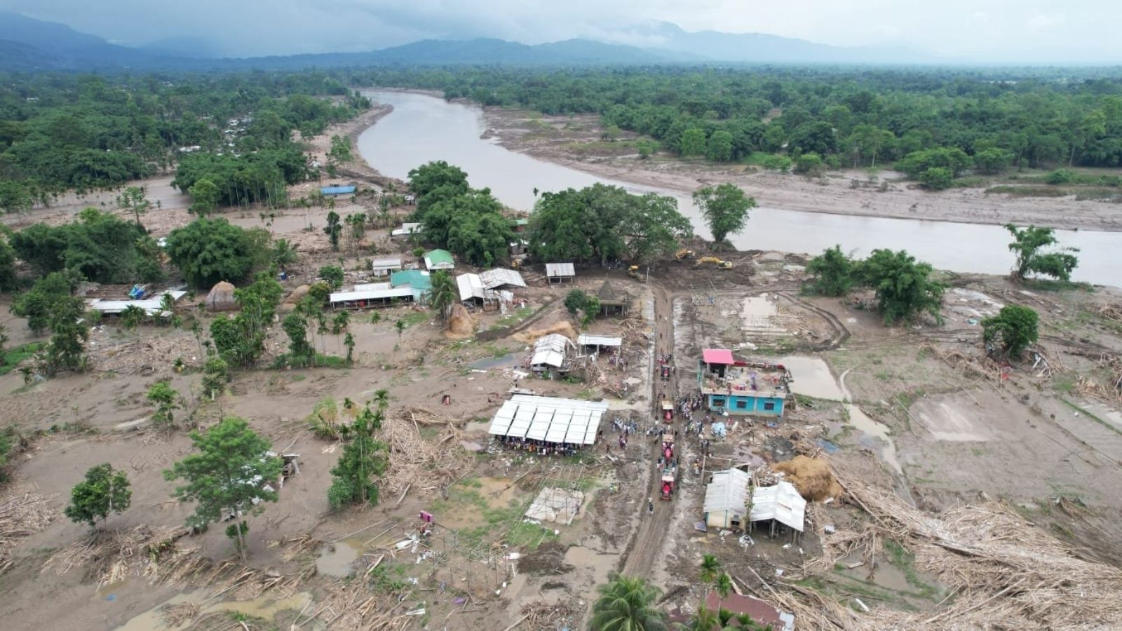
Assam's July Floods: More Than Just the Brahmaputra
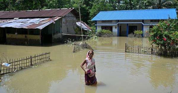
Assam rebuilds after floods kill 97, displace 12 lakh
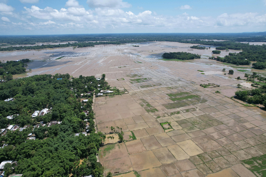
Why Assam floods every monsoon, what is different this year
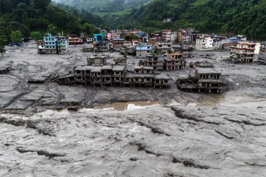
Nepal and Upper Assam Disasters Expose Climate Risks

Assam Floods Kill At Least 100 Amid Monsoon Deluge
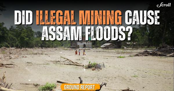
Assam Floods Turned a Previously Safe Village Into Ruins

Northeast Weaves Take Center Stage at Delhi Fashion Week

GST Collection Rises Nearly 15% To About Rs 2 Lakh

Nagaland Assembly Tables Revised Frontier Territorial Authority Bill

Delhi Fashion Week Showcases Khadi and Northeast India’s Heritage