2 days ago
Nepal Flash Floods Highlight Himalayan Climate and Dam Risks

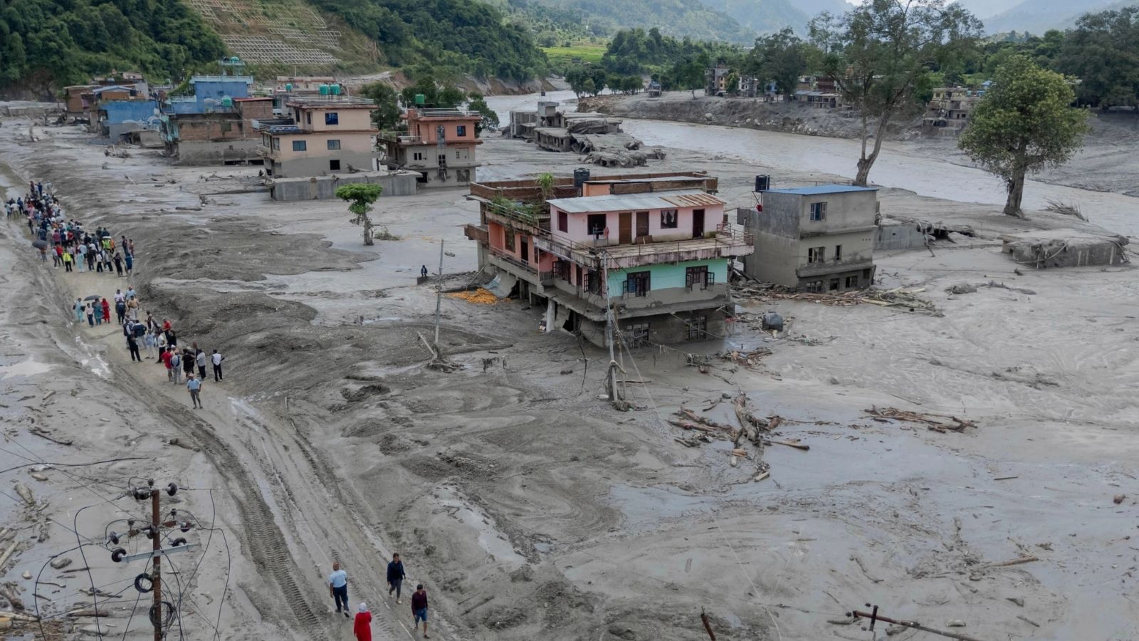
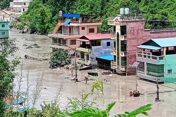
Recent flash floods in Nepal caused serious harm and reminded people that nature can be very powerful.
The article says warmer temperatures are melting Himalayan glaciers and making some high mountain lakes unstable.
Heavy rain can cause these lakes to burst and send water, mud, and rocks down narrow valleys.
Cutting trees and changing rivers can make flooding and landslides worse.
China is planning a very large dam near the Indian border in an area where strong earthquakes can happen.
India is also building a large dam in another earthquake-prone part of the Himalayas.
Supporters see dams as ways to make electricity and help control floods.
Critics worry that earthquakes or environmental damage could make such projects dangerous.
The article calls for development that works with nature instead of trying to overpower it.

The article describes recent flash floods in Nepal as a warning about extreme weather, environmental damage, and vulnerability in the Himalayas.
It attributes greater flood risks to intense monsoon rainfall, rapid regional warming, melting glaciers, fragile glacial lakes, deforestation, and altered riverbeds.
China is planning a 60,000-megawatt dam on the Yarlung Tsangpo River in Medog County near the Indian border.
The proposed dam would lie in the earthquake-prone Indo-Tsangpo Suture Zone, raising concerns about possible downstream flooding in India and Bangladesh.
India’s 3,000-megawatt Dibang Multipurpose Project is presented as an effort to support energy production and flood control despite similar seismic risks.
- Who
- Communities in Nepal and downstream populations in India and Bangladesh are identified as affected or potentially affected; China and India are developing major dam projects in the Himalayan region.
- What
- Recent flash floods in Nepal are discussed alongside climate-related hazards and the risks of large dam construction in the Himalayas.
- Where
- Nepal and other parts of the Himalayas, including areas near Medog County in China and Arunachal Pradesh in India.
- When
- The floods are described as recent; the article also refers to the 1950 Assam-Tibet Earthquake, the 2011 Sikkim Earthquake, and China’s construction of the Three Gorges Dam in 1994.
- Why
- The article links the danger to intense monsoon rainfall, regional warming, melting glaciers, unstable terrain, deforestation, altered rivers, and construction in seismically active areas.
Development and Energy Case
Environmental and Safety Concerns
Purpose of large dams
Development and Energy Case
Large dams are presented as sources of electricity and, in the case of India’s Dibang project, as tools for downstream flood control.
Environmental and Safety Concerns
The article argues that increasingly large structures can disrupt rivers and ecosystems and create severe consequences if damaged by earthquakes.
Himalayan infrastructure
Development and Energy Case
China and India are pursuing major hydroelectric projects to address energy and flood-management needs in a region where development is considered important.
Environmental and Safety Concerns
The article warns that building major dams in seismically active and geologically unstable areas could expose millions of downstream residents to catastrophic flooding.
Human responses to nature
Development and Energy Case
The article acknowledges that power generation, economic growth, and technological development are important for human life.
Environmental and Safety Concerns
It calls for sustainability, environmental protection, natural flood buffers, and development that works with nature rather than attempting to dominate it.
Key facts
- Planned Yarlung Tsangpo dam
- China is described as planning a 60,000-megawatt mega-dam on the Yarlung Tsangpo River near the Indian border.
- Three Gorges Dam
- The article says the dam, built by China in 1994, can generate more than 20,000 megawatts.
- Earthquake risk
- The planned Yarlung Tsangpo project is located in the Indo-Tsangpo Suture Zone, where the article says the Indian and Eurasian tectonic plates collide.
- Historical earthquake
- The 1950 Assam-Tibet Earthquake is identified as an 8.6-magnitude earthquake in the region.
- Dibang project
- India’s Dibang Multipurpose Project is described as a 288-meter-tall dam designed to generate up to 3,000 megawatts.
- Dibang distinction
- When completed, the Dibang Dam is expected to be India’s largest hydroelectric project and the world’s tallest concrete gravity dam.
- Flood mechanism
- The article says glacial lake outburst floods can send large amounts of water and debris through narrow mountain valleys.
Sources
Related news
Nepal Floods Expose Himalayan Risks From Warming and Development

Why Nepal Remains Vulnerable to Glacial Floods and Earthquakes

Nepal Floods Renew Concerns Over China’s Tibet Dam Projects

Tibet Dam-Building Raises Flood and Earthquake Concerns Downstream
Nepal Floods Raise Alarms Over Himalayan Disaster Risks

India’s Record Wheat Harvest Opens $1.5 Billion Export Window

West Bengal CM Crushes Nearly 2 Lakh Seized Syrup Bottles

India, Bangladesh Seek Deeper Parliamentary and People-to-People Ties

Bangladesh Radicalisation Raises Concerns About Security Spillover Into India

Bengaluru Police Transfer 31 Bangladeshi Nationals for Deportation