

2 hrs ago
UN-backed Equal Earth Map Could Change How Travelers See Scale
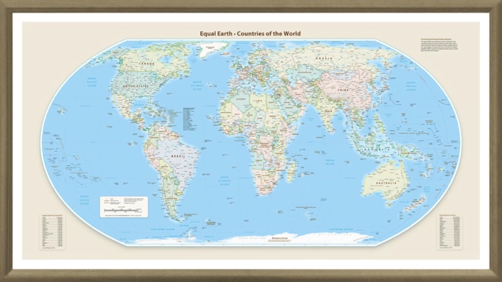
Many familiar maps make some places look bigger or smaller than they really are.
Greenland can look almost as large as Africa, even though Africa is about 14 times larger.
A map called Equal Earth shows continent sizes more accurately.
This could help travelers understand how large Africa, South America and Australia really are.
It may prevent people from planning too many destinations in a short trip.
However, the new map will not make flights shorter or change real travel distances.
The older Mercator map is still useful for navigation because it shows directions well.
The United Nations is encouraging wider use of Equal Earth, but it is not banning other maps.

On September 4, the United Nations General Assembly backed a resolution promoting more accurate world maps.
The resolution encourages countries, schools and technology companies to use the Equal Earth projection.
Equal Earth shows Africa, South America, South Asia and Oceania closer to their actual relative sizes.
The Mercator projection makes Greenland appear far larger and polar regions more distorted than they are.
Equal Earth may improve travel planning, but it does not change real distances, flight times or navigation needs.
- Who
- The United Nations General Assembly, along with countries, schools and technology companies encouraged to use more accurate maps.
- What
- The General Assembly backed a resolution promoting the Equal Earth map projection.
- Where
- The resolution concerns maps used around the world, including in travel planning and digital services.
- When
- September 4; the articles do not specify a year.
- Why
- To represent the relative sizes of continents more accurately and reduce distortions found in the familiar Mercator projection.
Equal Earth advocates
Mercator proponents
Understanding geographic scale
Equal Earth advocates
Equal Earth shows continental areas more accurately, helping travelers recognize that destinations such as Africa and South America are much larger than familiar maps suggest.
Mercator proponents
Mercator distorts the apparent size of regions, especially near the poles, but its directional properties remain useful.
Use in travel planning
Equal Earth advocates
Equal Earth can discourage over-ambitious itineraries by making distances and continental scale easier to appreciate.
Mercator proponents
A different visual projection does not calculate travel time, shorten flights or replace practical navigation tools.
Whether maps should change
Equal Earth advocates
The United Nations General Assembly is encouraging countries, schools and technology companies to use maps that better reflect relative size.
Mercator proponents
The resolution is not a ban and does not require Google Maps, airlines or GPS services to replace Mercator.
Key facts
- Promoted map
- Equal Earth
- Current familiar projection
- Mercator
- Resolution date
- September 4
- Size comparison
- Africa is about 14 times larger than Greenland.
- Maps improved by Equal Earth
- Africa, South America, South Asia and Oceania appear closer to their actual relative sizes.
- Travel impact
- The projection may improve understanding of scale but will not change actual distances or flight times.
- Mercator’s continuing use
- It remains useful for navigation because of how it represents direction.
Sources
Related news
UN backs Equal Earth map, making Africa larger

Why Africa’s True Scale Looks Different on World Maps
UN Backs African Push to Correct Distorted World Maps
UN Pushes Equal Earth Maps as Mercator Faces Scrutiny
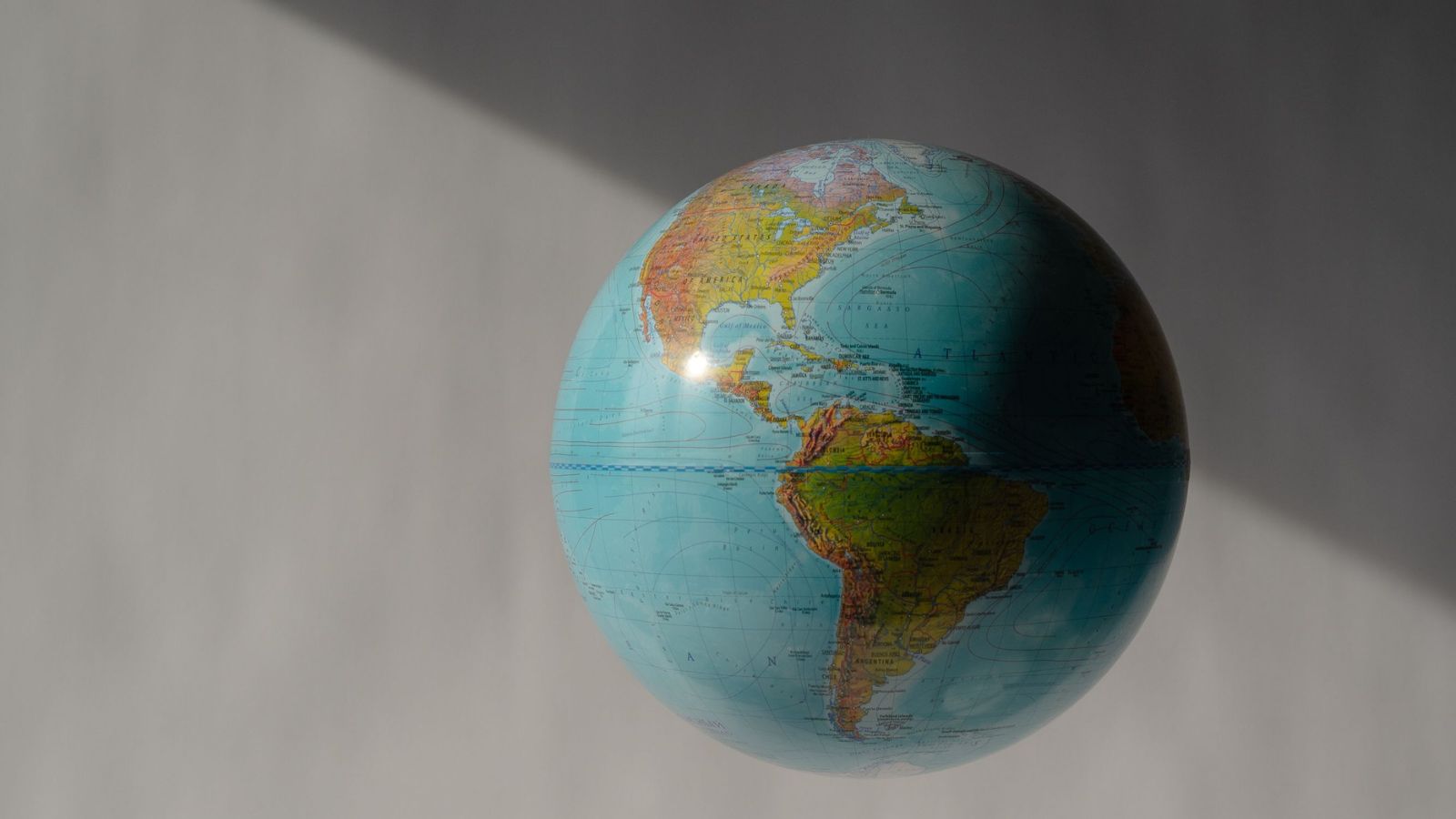
UN Backs Equal Earth Map to Show Africa’s True Scale
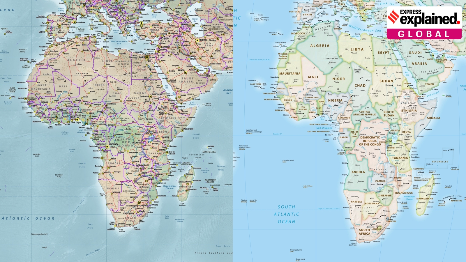
UN Adopts Equal Earth Map Amid Debate Over Flat-Map Accuracy

Gen Z Recalibrates Study-Abroad Choices Beyond Prestige and Rankings
India and Australia Consider Deeper AI Cooperation for Shared Capacity

Australia Proposes Social Media Algorithm Opt-Out Choices for Users
Global Student Housing Models Offer Lessons After Satya Niketan Tragedy
