58 mins ago
UN Adopts Equal Earth Map Amid Debate Over Flat-Map Accuracy
The Earth is round, but maps are usually flat.
Flattening a round globe always changes something.
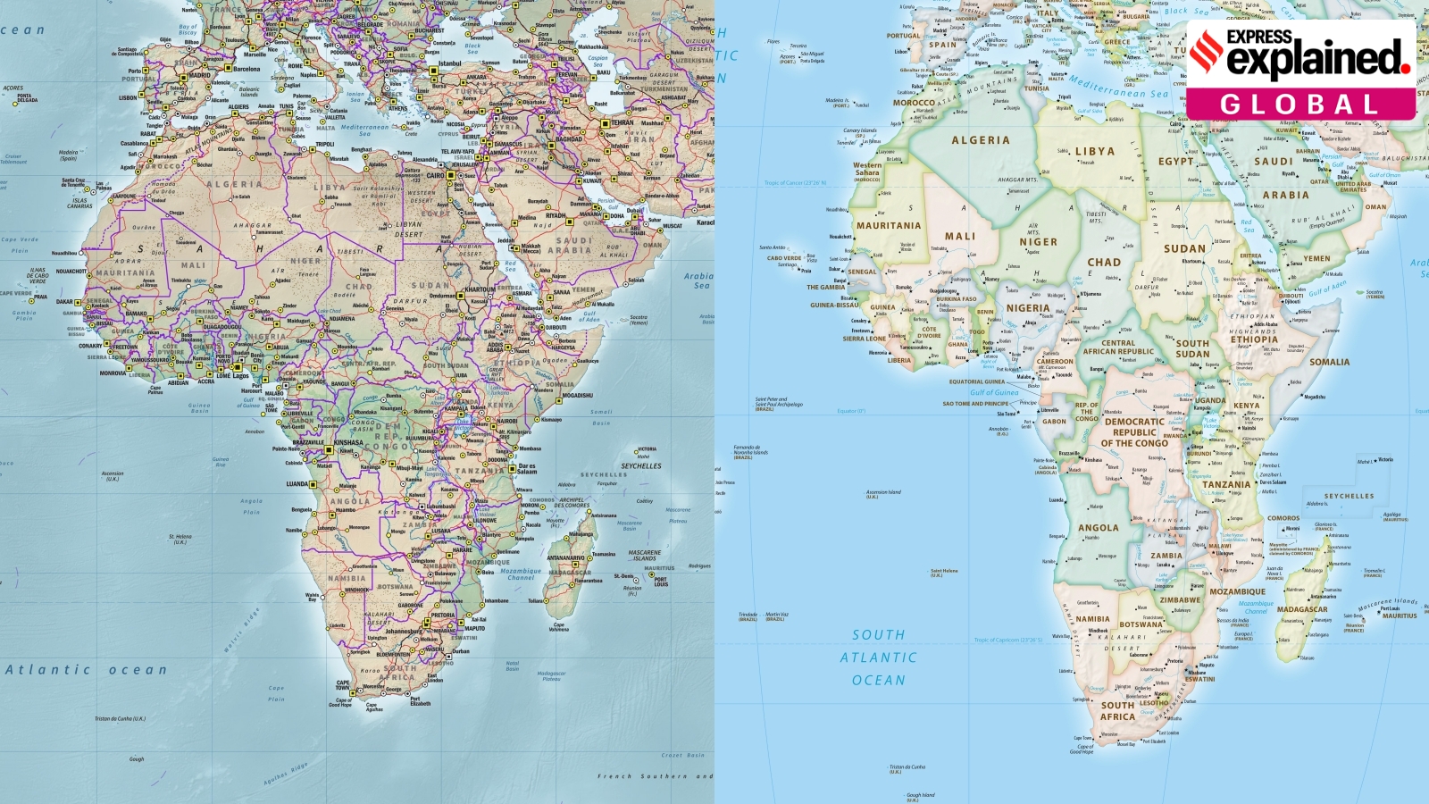
The old Mercator map was designed to help sailors follow compass directions.
However, it makes places near the poles look much larger than they really are and makes Africa look too small.
The Equal Earth map shows the relative sizes of continents more accurately.
It still changes some shapes and distances, especially near the poles.
Supporters say it could reduce unfair ideas about Africa’s importance.
The United Nations resolution supports using Equal Earth more widely, although resolutions are not legally binding.
Different maps are useful for different jobs, so no flat map is perfect.

The United Nations adopted a resolution supporting the 2018 Equal Earth projection.
A total of 164 countries, including India, voted for the resolution; the United States voted against it and six countries abstained.
Equal Earth depicts continental areas more proportionately, especially Africa, but distorts some shapes and distances near the poles.
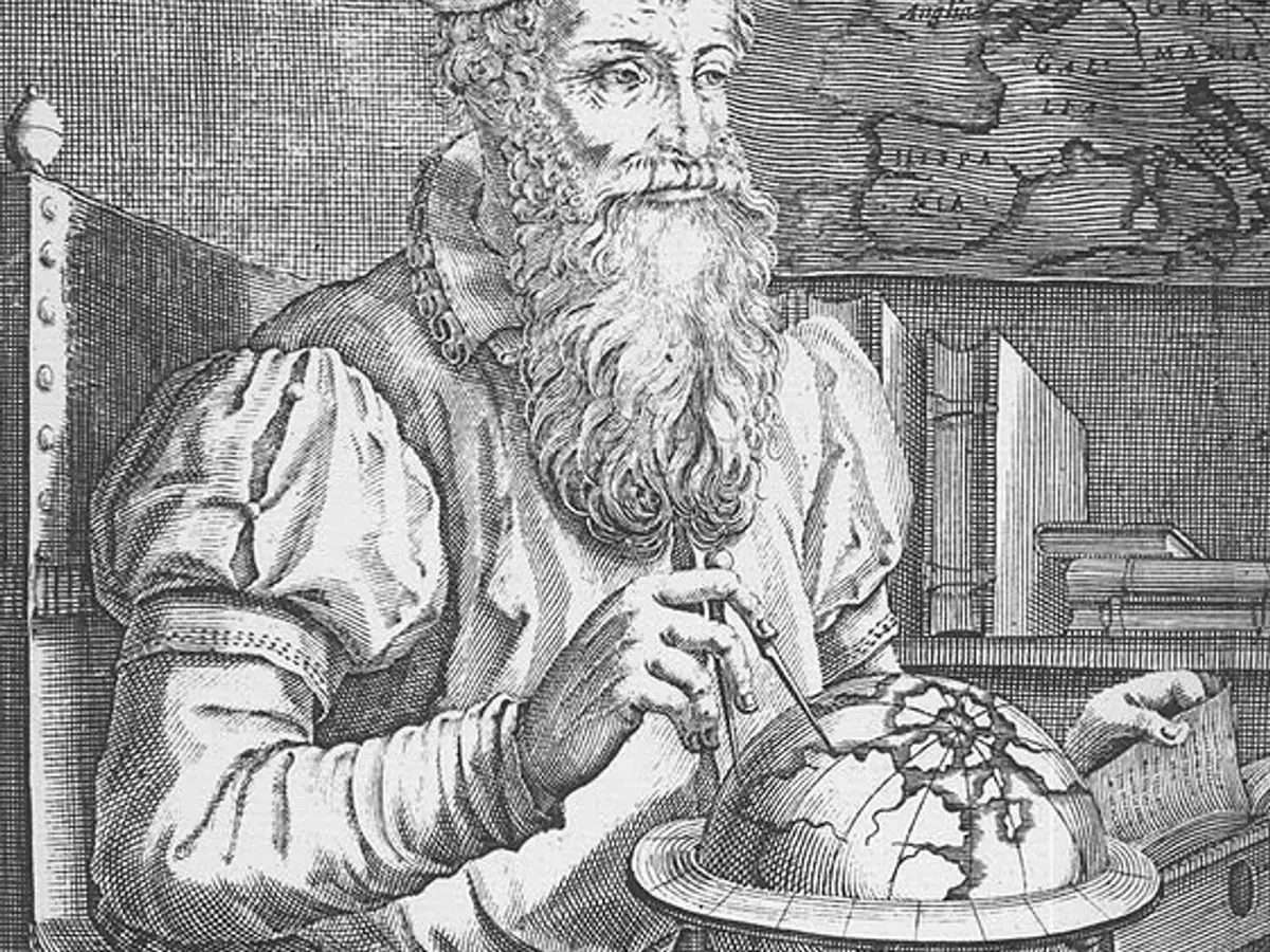
The Mercator projection was created in 1569 to help sailors navigate using accurate compass directions.
Experts emphasize that every flat map distorts at least one of area, shape, distance, or direction.
- Who
- The United Nations and 164 supporting countries adopted the resolution; the United States voted against it and six countries abstained.
- What
- The United Nations adopted a resolution supporting the 2018 Equal Earth map as a more area-accurate alternative to the Mercator projection.
- Where
- At the United Nations General Assembly; the map concerns representations of the world.
- When
- The resolution was adopted at a United Nations General Assembly session; the Equal Earth projection was developed in 2018.
- Why
- Supporters want to depict continental sizes more accurately, particularly Africa’s size, and address criticism of the Mercator projection’s colonial bias.
Mercator’s Practical Uses
Equal Earth’s Representational Goals
Primary purpose
Mercator’s Practical Uses
The Mercator projection was created to give sailors correct compass directions along straight lines, making it useful for navigation.
Equal Earth’s Representational Goals
Equal Earth is promoted as a more accurate way to compare the sizes of continental landmasses.
Cultural impact
Mercator’s Practical Uses
Supporters of retaining Mercator for some uses can point to its long history as a standard map for atlases, wall maps, and navigation.
Equal Earth’s Representational Goals
Critics argue that Mercator’s depiction of Africa as relatively small reinforces a colonial and Western-centered view of the world; supporters of Equal Earth say it can help reverse those perceptions.
Accuracy tradeoffs
Mercator’s Practical Uses
Mercator preserves direction effectively for navigation, but significantly distorts area, especially near the poles.
Equal Earth’s Representational Goals
Equal Earth improves relative area accuracy and avoids some shape distortions of area-preserving maps, but still distorts shapes and distances toward the poles.
Key facts
- Resolution support
- 164 countries, including India, voted for the resolution.
- Opposition
- The United States voted against the resolution.
- Abstentions
- Six countries abstained.
- Equal Earth
- The projection was developed in 2018 by an international team of cartographers.
- Mercator origin
- Gerardus Mercator created the projection in 1569 for navigation.
- Main distortion
- Mercator makes areas near the poles appear larger and makes Africa appear smaller.
- Map limitations
- Flat projections distort at least one of area, shape, distance, or direction.
- Technology use
- Google Maps switched its desktop view to a 3D globe in 2018, while its mobile app still uses Mercator by default.
Quotes

UN General Assembly
The United Nations body whose resolution endorsed the Equal Earth projection.
“Equal Earth cartographic projection offers a more accurate representation of the sizes of continental landmasses and to this end is a relevant option for improving the accuracy of the cartographic representation of the world.”
 indianexpress.com
Rabah Arezki
Former World Bank economist who criticized the Mercator projection in Le Monde.
“The standard projection was a political tool that contributed to the scramble for Africa, also known as the partition of Africa when Western European powers colonised the continent. Just as making Africa look small and conquerable then, the Mercator projection makes the continent look small and irrelevant now.”
indianexpress.com
Fritz Kessler
A map projection expert who discussed choosing projections according to their intended use.
“Is it going to be used to measure distances or directions? Angles? Areas? Show distributions of thematic data, you know, population?”
indianexpress.com
Sources
Related news
UN Adopts Equal Earth Map to Better Represent Africa

UN Backs Africa’s Push for More Accurate World Maps
UN Backs Equal Earth Map to Show Africa’s True Scale
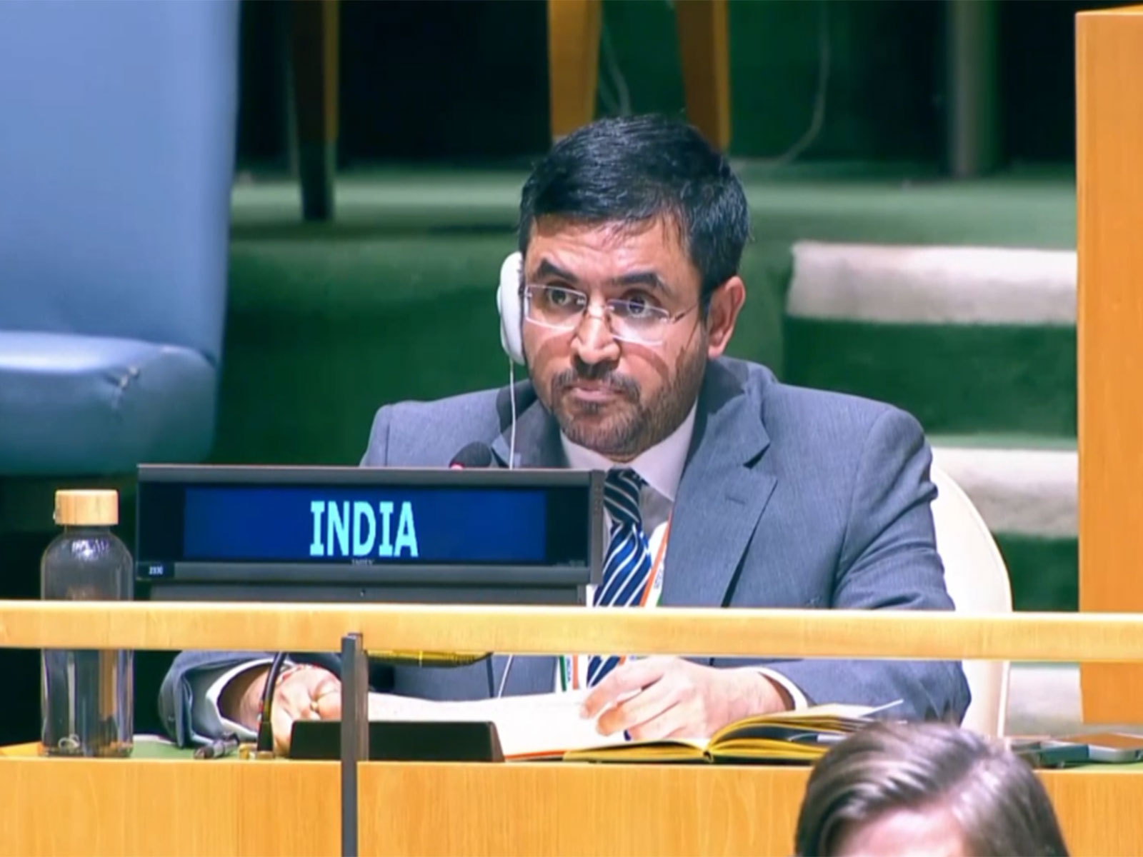
UN backs fairer maps as India urges cartographic neutrality

UN Map Enlarges Africa’s Appearance as United States Votes No