

15 hrs ago
UN Backs Map Showing Africa’s True Size
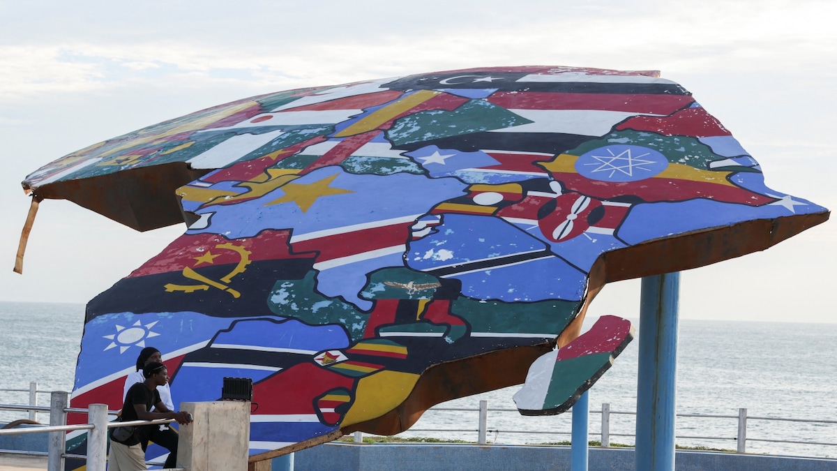
The United Nations voted to encourage the use of maps that show land areas more accurately.
The proposed alternative is called Equal Earth.
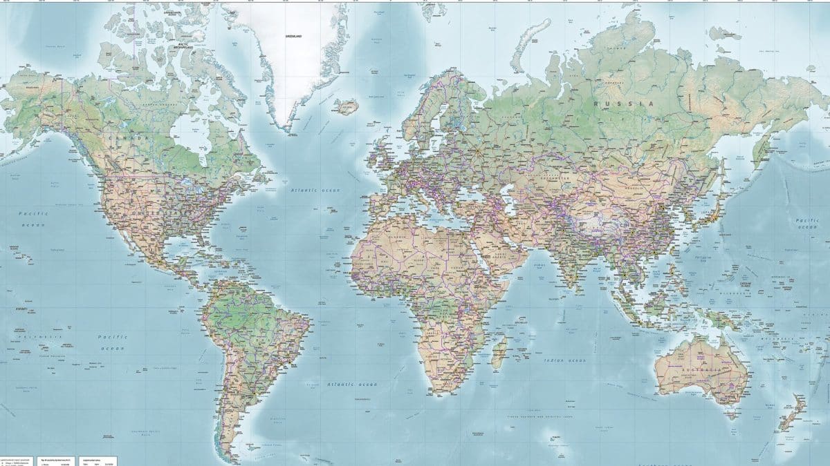
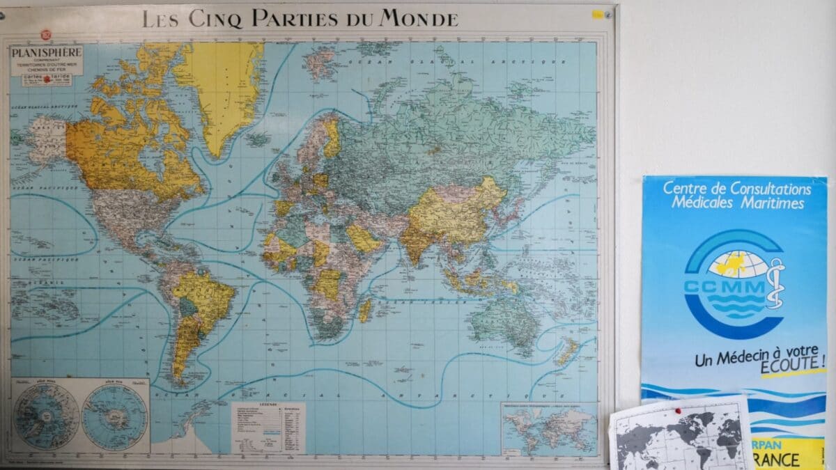
The older Mercator map makes places near the North and South Poles look much bigger than they really are.
This can make Greenland look almost as large as Africa.
In reality, Africa is about 14 times bigger than Greenland.
Togo and the African Union supported the change because they say distorted maps can make Africa seem smaller or less important.
The vote passed by 164 votes to one, with six countries abstaining.
The United States voted against the resolution and called it an ideological distraction.
The resolution does not force anyone to replace Mercator maps, which can still be used for maritime and aerial navigation.

The United Nations General Assembly approved a nonbinding resolution promoting equal-area maps such as Equal Earth.
The resolution passed 164-1, with six abstentions; the United States was the only country to oppose it.
The Mercator projection enlarges regions near the poles, making Greenland appear roughly comparable to Africa.
Africa covers about 30.3 million square kilometres, compared with Greenland’s approximately 2.16 million.
Togo plans to change its school maps and promote wider adoption, while Mercator remains suitable for navigation.
- Who
- Togo, backed by African Union member states, led the initiative; the United Nations General Assembly adopted it, with the United States voting against.
- What
- The General Assembly approved a nonbinding resolution promoting equal-area projections, including Equal Earth, as alternatives to Mercator.
- Where
- The vote took place in the United Nations General Assembly; Togo plans to change its school geography materials.
- When
- The vote took place on Friday, September 4, according to the articles.
- Why
- Supporters want maps to show continents closer to their actual relative sizes and to counter perceptions that Africa is geographically peripheral.
Mercator’s Practical Role
Equal-Area Representation
Map purpose
Mercator’s Practical Role
The Mercator projection remains suited to maritime and aerial navigation because it represents directions in a way useful for plotting routes.
Equal-Area Representation
Supporters want schools, organisations and digital mapping services to use equal-area maps that show landmasses closer to their actual relative sizes.
Meaning of distortion
Mercator’s Practical Role
The United States said the resolution promoted an ideological agenda and distracted from genuine problems involving peace, prosperity and international relations.
Equal-Area Representation
Togo and African Union supporters say Mercator’s distortion can contribute to the symbolic minimisation of Africa and reinforce perceptions that the continent is peripheral.
Changing existing maps
Mercator’s Practical Role
The resolution does not legally require governments, schools, companies or organisations to replace Mercator maps.
Equal-Area Representation
Togo plans to change its own school materials and encourage governments, schools, international organisations and technology companies to consider Equal Earth or other equal-area projections.
Key facts
- Vote result
- 164 countries voted in favour, one against, and six abstained.
- Promoted projection
- The resolution supports the Equal Earth projection, developed in 2018.
- Africa’s area
- About 30.3 million square kilometres.
- Greenland’s area
- Approximately 2.16 million square kilometres.
- Size comparison
- Africa is roughly 14 times larger than Greenland.
- Legal status
- The resolution is not legally binding.
- Navigation
- The resolution does not challenge Mercator’s continued use for maritime and aerial navigation.
- Togo’s plan
- Togo hopes to change its school geography materials by the end of the year and promote wider adoption.
Quotes

Amma Twum-Amoah
Commissioner for the African Union’s Department of Health, Humanitarian Affairs and Social Development
“We are asking the member states to move from the Mercator map to the Equal Earth map... Africa is not asking for a privilege. We are not asking for compassion. We just want to have the real size that we have in the world in terms of geography”
 firstpost.com
“Africa, once diminished on maps, now insists on being seen at its true scale – geographically, historically, morally, culturally, economically, diplomatically and globally.”
 news18.com
Sources

UN approves resolution in support of map that shows Africa's true size – ThePrint – ReutersFeed
Greenland looks huge on your map. Africa is actually 14 times bigger
UN approves resolution in support of map that shows Africa's true size
The World Just Got A New Map: UN Votes To Redraw Continents To Reflect Their True Size
Related news

Campaign Urges UN to Adopt Map Showing Africa’s True Size
Google Maps Labels Lake Ontario Lake America for U.S. Users
Apple and Google Adopt Lake America Name for US Users
Apple Maps Renames Lake Ontario ‘Lake America’ After Trump Order
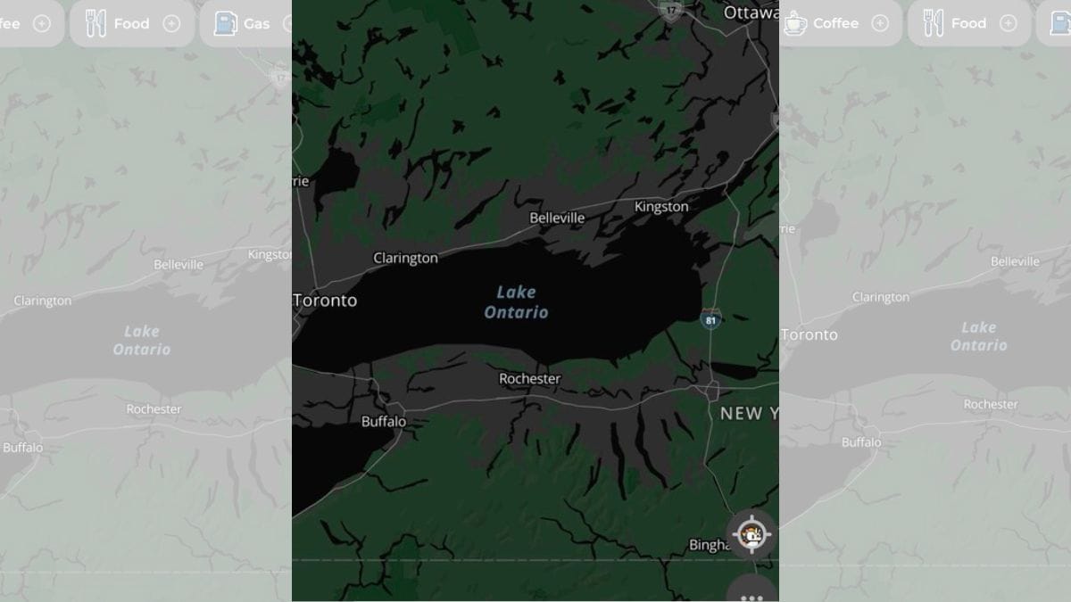
MapQuest Tops US App Store After Rejecting Lake America Rename
