1 day ago
UN Pushes Equal Earth Maps as Mercator Faces Scrutiny
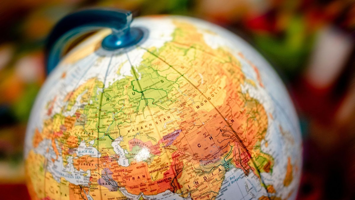
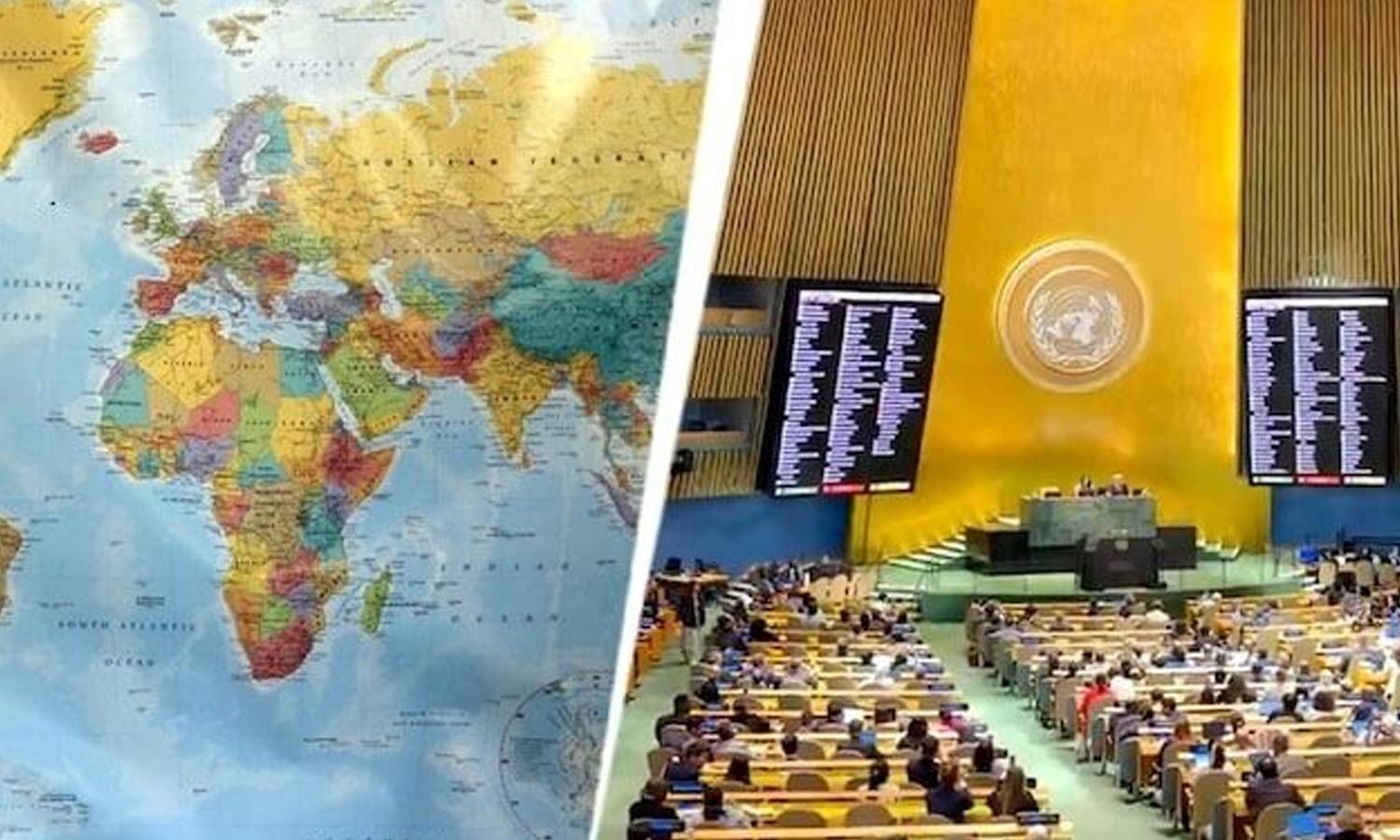
The United Nations voted to encourage the use of maps that show land sizes more fairly.
The vote supported a map called Equal Earth and did not ban the familiar Mercator map.
Mercator was created by Gerardus Mercator in 1569 to help sailors navigate.
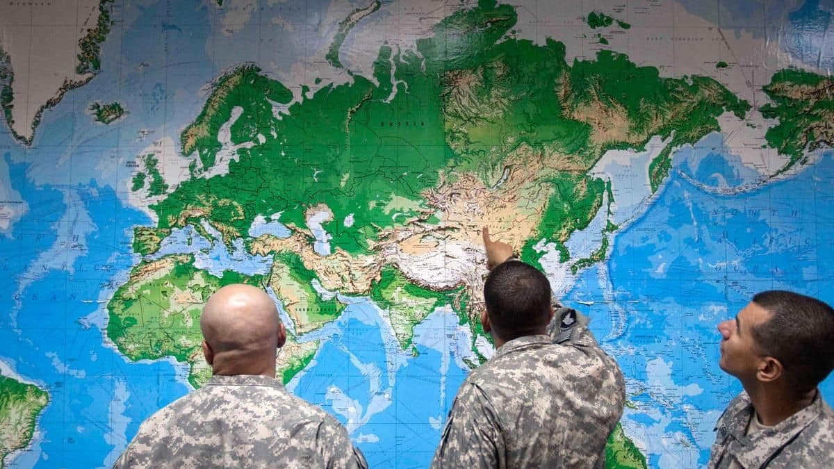
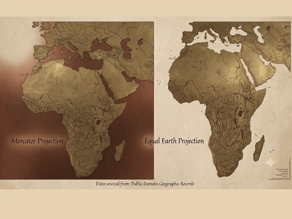
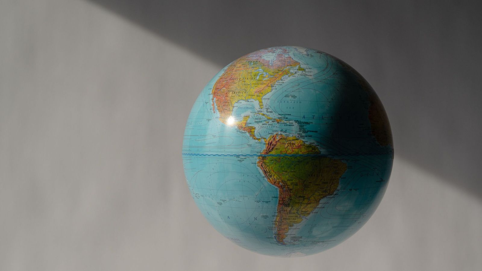
It keeps directions useful, but places far from the Equator can look much bigger than they really are.
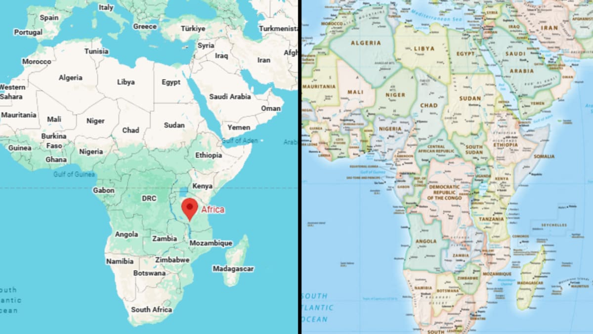
For example, Greenland can look almost as large as Africa on a Mercator map, even though Africa is about 14 times larger.
Supporters say maps can influence how people understand the importance and size of different regions.
Togo introduced the resolution with support from the African Union.
The United States voted against it, and six countries abstained.
Equal Earth tries to preserve accurate area comparisons while keeping shapes recognisable.

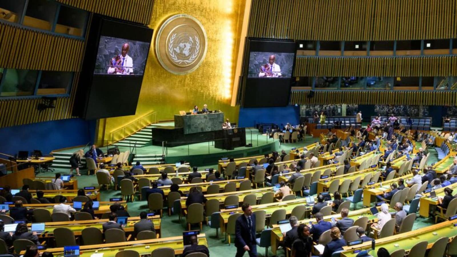
The UN General Assembly backed a non-binding resolution encouraging wider use of equal-area projections such as Equal Earth.
The resolution passed on September 4, 2026, with 164 votes in favour, one against and six abstentions.
The United States was the only country to vote against the resolution, while Togo introduced it for the African Group with African Union support.
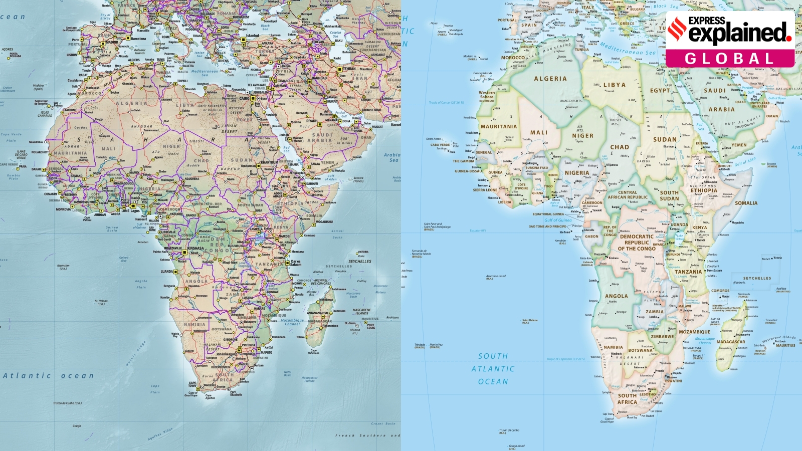
Mercator preserves angles and directions for navigation but makes regions farther from the Equator appear disproportionately large.
Equal Earth aims to show land areas more accurately while keeping country and continent shapes recognisable, though no flat map eliminates all distortion.
- Who
- The UN General Assembly adopted the resolution; Togo introduced it on behalf of the African Group with African Union support.
- What
- It adopted a non-binding resolution encouraging governments, schools, media organisations and other institutions to consider equal-area projections such as Equal Earth.
- Where
- The vote took place in the United Nations General Assembly.
- When
- September 4, 2026.
- Why
- Supporters want maps to show the relative size of countries and continents more accurately and to address the educational and perceptual effects of geographic distortion.
Navigation and Familiarity
Accurate Area Representation
Purpose of Mercator
Navigation and Familiarity
The Mercator projection was designed as a navigation tool because it preserves angles, directions and useful sailing routes.
Accurate Area Representation
Supporters of equal-area projections say general-purpose, educational and media maps should show land areas in their correct relative proportions.
Effect of visual distortion
Navigation and Familiarity
The Mercator projection remains familiar and useful for its original navigational purpose, even though it distorts size farther from the Equator.
Accurate Area Representation
Critics argue that the projection gives northern regions greater visual presence while making Africa, Latin America and parts of Asia appear smaller than their actual areas.
Impact beyond geography
Navigation and Familiarity
The United States voted against the non-binding resolution, and the resolution does not require countries or institutions to change their maps.
Accurate Area Representation
Supporters, including African countries backing the proposal, say more accurate representations could affect geographic education and perceptions of Africa's importance and scale.
Key facts
- Resolution status
- Non-binding UN General Assembly resolution
- Vote result
- 164 countries voted in favour, one against and six abstained
- Only opposing vote
- The United States
- Resolution sponsor
- Togo, on behalf of the African Group, with African Union support
- Proposed projection
- Equal Earth, introduced in 2018
- Mercator projection
- Created by Gerardus Mercator in 1569; preserves angles and directions but not true landmass size
- Greenland comparison
- Africa is about 14 times larger than Greenland, despite their appearing similar in size on Mercator maps
- Equal Earth creators
- Bojan Šavrič, Bernhard Jenny and Tom Patterson
Sources
Related news
UN backs Equal Earth map, making Africa larger
UN Backs African Push to Correct Distorted World Maps
UN Backs Equal Earth Map to Show Africa’s True Scale
UN Backs Equal Earth Map to Correct Africa’s Distorted Image
UN Adopts Equal Earth Map Amid Debate Over Flat-Map Accuracy