1 hr ago
UN Adopts Equal Earth Map to Better Represent Africa
The United Nations voted to support a new way of drawing the world map.
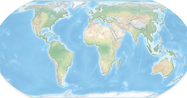
The new map is called the Equal Earth projection.
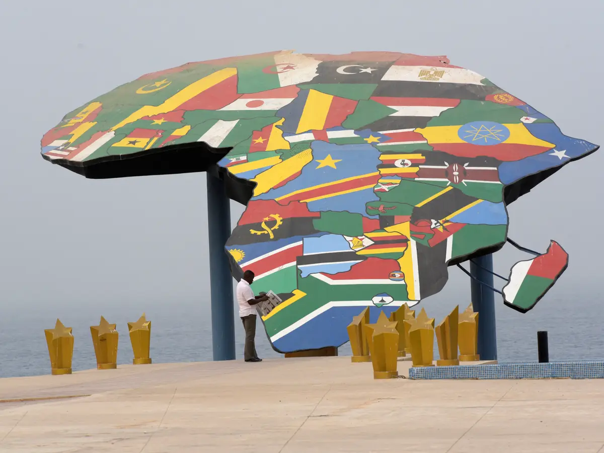
It shows Africa closer to its real size.
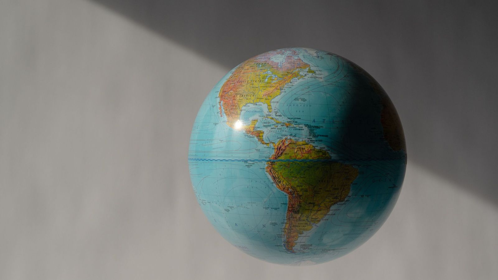
Older Mercator maps make places near the North and South Poles look much bigger than they are.
On those maps, Greenland can look about as large as Africa, even though Africa is more than 14 times larger.
Togo led the proposal for the change.
A total of 164 countries supported it, six abstained, and the United States voted against it.
The new resolution is not legally binding.
Togo said the map changes how people see the world, not the geography itself.

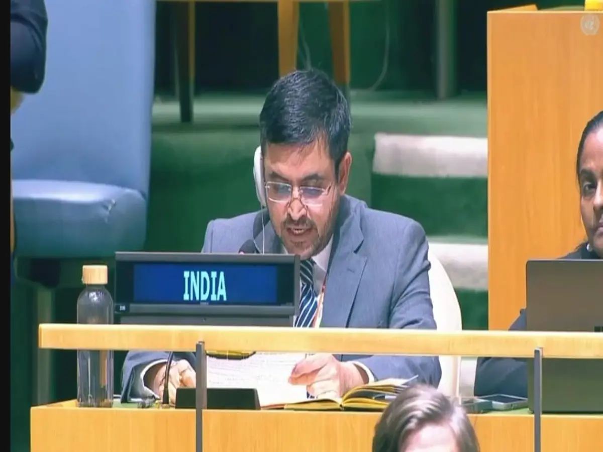
The United Nations General Assembly adopted a nonbinding resolution supporting the Equal Earth map projection.
The resolution, led by Togo, received support from 164 countries, while six abstained and the United States voted against it.
The Equal Earth projection, created in 2018, shows Africa, Latin America, South Asia and Oceania at more proportionate sizes.
The map replaces the widely used 16th-century Mercator projection, which enlarges landmasses near the poles.
Supporters said Mercator-based maps contributed to the symbolic minimization of Africa, while the United States called the initiative ideological.
- Who
- The United Nations General Assembly, with Togo leading the resolution; 164 countries supported it, six abstained, and the United States opposed it.
- What
- The General Assembly adopted a nonbinding resolution supporting the Equal Earth projection as a more accurate representation of continental sizes.
- Where
- The vote was held at United Nations headquarters in New York.
- When
- Friday, September 4; the articles do not specify the year.
- Why
- Supporters wanted to reduce the size distortions and perceived symbolic minimization of Africa associated with the Mercator projection.
Supporters of the Equal Earth Map
United States Opposition
Purpose of the change
Supporters of the Equal Earth Map
Togo and supporters said an equal-area map gives a fairer and more accurate visual representation of continents and counters the symbolic minimization of Africa.
United States Opposition
The United States said the resolution was presented as a harmless cartographic update but belonged to a broader and more radical ideological project.
Role of the Mercator projection
Supporters of the Equal Earth Map
Supporters argued that centuries of Mercator-based maps created a visually unbalanced view of the world and urged equal-area projections for public, academic and administrative uses.
United States Opposition
The United States objected to replacing or moving away from a projection originally created for a practical maritime-navigation purpose.
Effect of the resolution
Supporters of the Equal Earth Map
Togo’s Foreign Minister Robert Dussey said a fair map changes how people see the world, not the geography itself, and does not condemn Mercator or impose one projection.
United States Opposition
Washington said the resolution “mocks the work and purpose” of the United Nations.
Key facts
- Resolution
- The nonbinding “Correct the Map” resolution supported the Equal Earth projection.
- Vote
- 164 countries voted in favor, six abstained, and the United States was the only country reported to vote against it.
- Lead sponsor
- Togo led and sponsored the resolution.
- New projection
- Equal Earth was created by a group of cartographers in 2018.
- Older projection
- The Mercator projection was created by Flemish cartographer Gerardus Mercator in the 16th century and was designed for maritime navigation.
- Size comparison
- Africa covers about 30.3 million square kilometers, compared with about 2.1 million square kilometers for Greenland.
- Stated impact
- The resolution said Mercator distortions contributed to the “symbolic minimisation” of Africa and an unbalanced view of the world.
Quotes

Robert Dussey
Togo’s foreign minister who defended the United Nations resolution
“A fair map does not change the geography of the world, it changes how we see the world”
 scroll.in