1 hr ago
UN Backs Africa’s Push for More Accurate World Maps

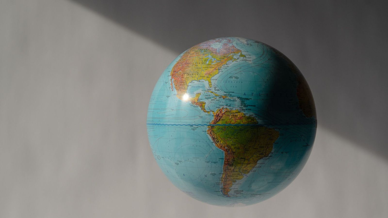
Earth is round, but maps are flat, so every world map changes something.
The Mercator map was created to help sailors follow directions.
It makes places near the North and South Poles look much bigger than they really are.
That is why Greenland can look almost as large as Africa.
In reality, Africa is about 14 times larger than Greenland.
The map is not useless, but it is not good for comparing the sizes of continents.
The African Union wants schools, publishers and digital platforms to use maps that show land areas more fairly.
One alternative is the Equal Earth map, which keeps area comparisons closer to reality.

The UN General Assembly backed the African Union-supported “Correct the Map” initiative with 164 votes in favour.
The United States voted against the resolution, while six countries abstained.
Mercator maps enlarge high-latitude regions, making Greenland appear comparable in size to Africa even though Africa is about 14 times larger.
Mercator was designed for navigation because constant compass directions can appear as straight lines.
The Equal Earth projection preserves relative land areas, but the UN vote does not ban Mercator maps or require existing maps to be replaced.
- Who
- The UN General Assembly, the African Union, Togo and the African Group are involved; the United States voted against the resolution.
- What
- The UN backed the “Correct the Map” initiative, which promotes more accurate representations of Africa’s and other regions’ relative land areas.
- Where
- The decision was made in the United Nations General Assembly.
- When
- The resolution was adopted on September 4.
- Why
- The initiative seeks to address the Mercator projection’s enlargement of high-latitude regions and understatement of Africa’s apparent size.
African-led map reform
Mercator’s continued specialized use
How the world should be represented
African-led map reform
The African Union argues that maps should reflect Africa’s actual dimensions and use objective, scientifically established geographical proportions.
Mercator’s continued specialized use
Mercator can remain appropriate when a map’s main purpose is navigation rather than comparing the areas of continents.
Use in education and general mapping
African-led map reform
The African Union supports progressively promoting area-accurate projections such as Equal Earth in education, publishing and digital platforms.
Mercator’s continued specialized use
Mercator has a long-established navigational purpose and need not be removed from all existing uses.
Whether Mercator is wrong
African-led map reform
Critics say its severe area distortion can misrepresent Africa and other lower-latitude regions when used as a general world map.
Mercator’s continued specialized use
The projection is not mathematically incorrect; it makes a deliberate trade-off by preserving direction while distorting area, especially near the poles.
Key facts
- UN vote
- 164 countries voted in favour.
- Opposition and abstentions
- The United States voted against and six countries abstained.
- Actual size comparison
- Africa is about 14 times larger than Greenland.
- Mercator projection
- It dates to 1569 and is associated with Flemish cartographer Gerardus Mercator.
- Mercator’s strength
- It represents a constant compass direction as a straight line, making it useful for navigation.
- Alternative projection
- Equal Earth is an equal-area projection designed in 2018 by Bojan Šavrič, Tom Patterson and Bernhard Jenny.
- Resolution’s effect
- The vote does not ban Mercator maps or require existing maps to be replaced.
Quotes

Mahmoud Ali Youssouf
Chairperson of the African Union Commission
“Africa must be represented as it truly is: in its true dimensions and in its rightful place in the world”
 thestatesman.com
Sources
Related news
UN Backs Equal Earth Map to Show Africa’s True Scale
UN Adopts Equal Earth Map to Better Represent Africa
UN Adopts Equal Earth Map Amid Debate Over Flat-Map Accuracy
UN backs fairer maps as India urges cartographic neutrality

UN Map Enlarges Africa’s Appearance as United States Votes No
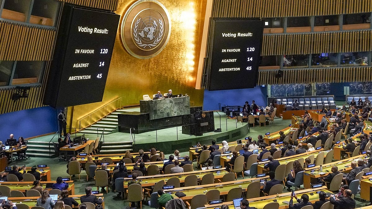
India Backs UN Resolution Promoting More Accurate World Map
AU, UN Condemn Deadly Attack on South Sudan Peacekeepers