

55 mins ago
India Backs UN Resolution Promoting More Accurate World Map
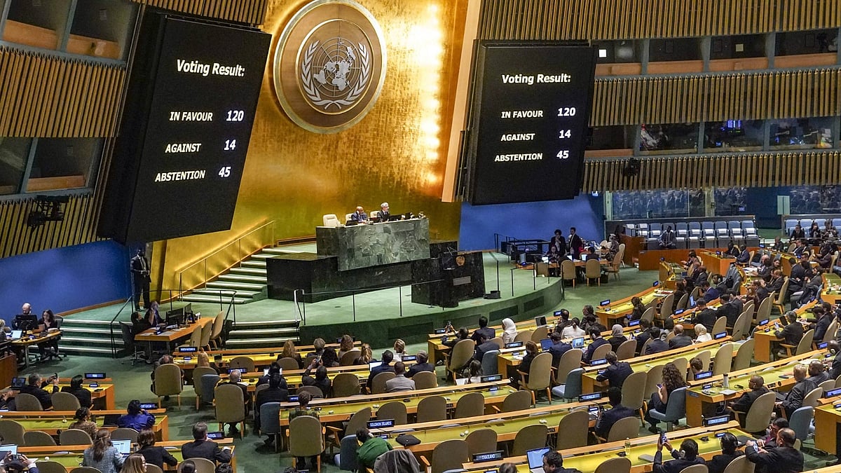
India supported a United Nations plan about how the world should be shown on maps.
The plan recommends the Equal Earth map projection.
Equal Earth was created in 2018.
It aims to show the sizes of continents more accurately.
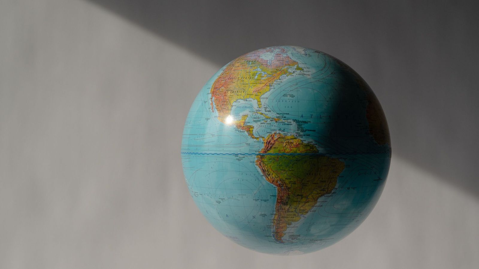
The older Mercator map has been used widely since the 16th century.
Critics say it makes some places look much larger or smaller than they really are.
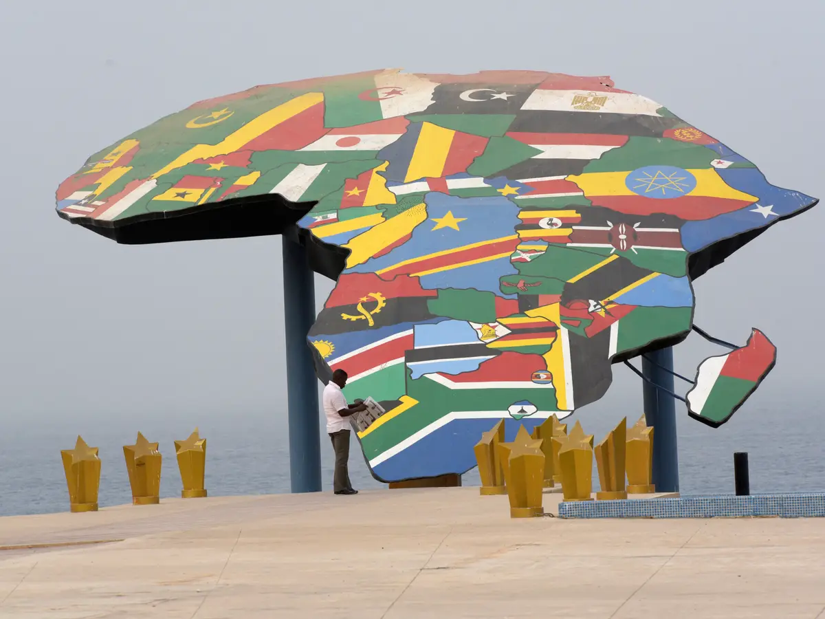
For example, Africa is about 14 times larger than Greenland.
However, the Mercator map can make them appear similar in size.

India backed a United Nations resolution supporting a revised world map.
Togo sponsored the resolution, which was backed by African Union member states.
The proposed map uses the Equal Earth projection, developed in 2018.
Equal Earth was designed to reduce distortions in the traditional Mercator projection.
The Mercator map makes Africa appear similar in size to Greenland, although Africa is about 14 times larger.
- Who
- India backed the resolution, which was sponsored by Togo and supported by African Union member states.
- What
- The United Nations considered a resolution supporting the Equal Earth projection to improve the representation of land sizes on world maps.
- Where
- The resolution was considered within the United Nations.
- When
- The Equal Earth projection was developed in 2018; the Mercator projection has been widely used since the 16th century.
- Why
- It aims to address distortions in the Mercator projection and provide a more accurate representation of the relative sizes of regions.
Key facts
- Resolution sponsor
- Togo
- Major supporter
- India
- Regional backing
- African Union member states
- Proposed projection
- Equal Earth
- Equal Earth development
- 2018
- Older projection
- Mercator, widely used since the 16th century
- Size comparison
- Africa is approximately 14 times larger than Greenland
Sources
Related news
UN backs fairer maps as India urges cartographic neutrality
UN Backs Equal Earth Map to Show Africa’s True Scale
UN Adopts Equal Earth Map to Better Represent Africa

Campaign Urges UN to Adopt Map Showing Africa’s True Size
UN Adopts Equal Earth Map Amid Debate Over Flat-Map Accuracy

UN Map Enlarges Africa’s Appearance as United States Votes No
