2 hrs ago
UN Map Enlarges Africa’s Appearance as United States Votes No

The United Nations has adopted a new way to show the world on a map.
Older Mercator maps can make Europe and North America look bigger than they really are.
They can also make Africa and South America look smaller.
The new map is meant to show the sizes of regions more fairly.
Togo supported the change and sponsored the resolution.
Togo’s foreign minister said maps can shape how people understand the world.
He said these ideas can be passed from one generation to the next.
The United States voted against the resolution, but the provided report does not explain why.

The United Nations introduced a world map designed to present regions more proportionally.
Conventional Mercator maps make Europe and North America appear larger than they are.
Africa and South America appear smaller on conventional Mercator maps.
Togo sponsored the UN resolution addressing concerns about distorted map representations.
Foreign Minister Robert Dussey said maps influence education, imagination, and collective perceptions.
- Who
- The United Nations, Togo, Foreign Minister Robert Dussey, and the United States.
- What
- The UN adopted a new world-map approach, while the United States voted against the related resolution.
- Where
- The issue concerns representations of the world, including Africa, Europe, North America, and South America; the resolution was considered by the United Nations.
- When
- The timing is not specified in the provided report.
- Why
- Togo said conventional maps distort perceptions of regional size and that maps influence education and collective understanding.
Supporters of the New Map
United States Position
Map representation
Supporters of the New Map
Togo and supporters argued that conventional Mercator maps make some regions look disproportionately large and make Africa and South America appear smaller.
United States Position
The United States voted against the UN resolution; the provided report does not state its reasoning.
Social impact of maps
Supporters of the New Map
Robert Dussey said maps guide education, nourish imagination, and influence collective perceptions, so distorted representations can persist across generations.
United States Position
No alternative view on the social impact of maps is provided for the United States.
Key facts
- Resolution sponsor
- Togo
- Togo’s representative
- Foreign Minister Robert Dussey
- United States position
- The United States voted no
- Regions appearing larger on conventional Mercator maps
- Europe and North America
- Regions appearing smaller on conventional Mercator maps
- Africa and South America
- Central concern
- The effect of map distortions on education and collective perceptions
Quotes

Robert Dussey
Togo’s foreign minister
“maps guide education, nourish the imagination, and influence collective perceptions”
 timesnownews.com
Sources
Related news
UN Backs Equal Earth Map to Show Africa’s True Scale
UN Adopts Equal Earth Map to Better Represent Africa

UN Backs Africa’s Push for More Accurate World Maps
UN backs fairer world maps as India supports equal-area approach

Campaign Urges UN to Adopt Map Showing Africa’s True Size
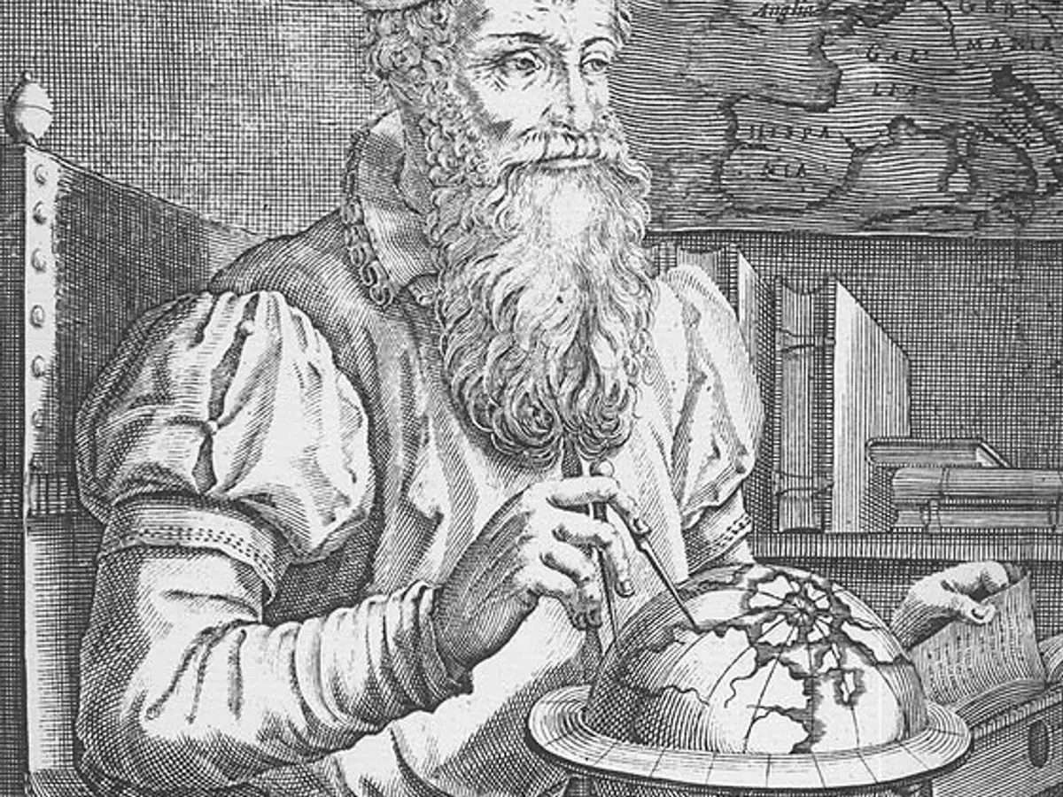
United Nations Moves to Phase Out Mercator Map

Trump Seeks European Repayment for US Ukraine Aid

Evening News Roundup Covers Banks, China, Gen Z And Entertainment
France Reports Nearly 7,000 Heatwave Deaths Through July