16 hrs ago
UN Backs Equal Earth Map to Correct Africa’s Distorted Image
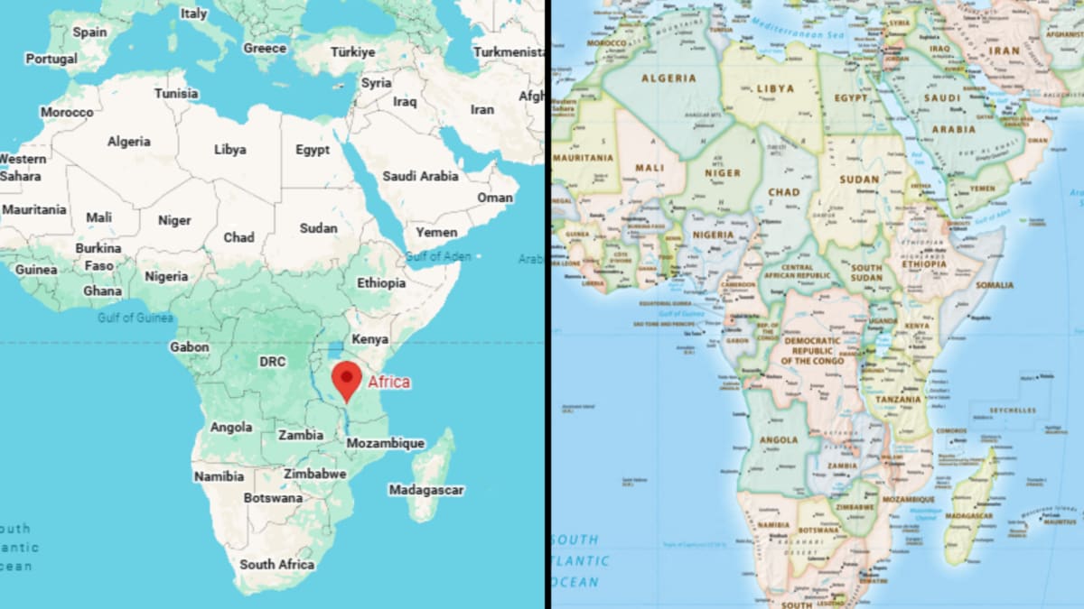
The United Nations supported using a map called Equal Earth more often.
This map shows the sizes of continents more accurately.
On the older Mercator map, Africa looks much smaller than it really is.
Greenland can look almost as large as Africa even though Africa is about 14 times bigger.
Togo led the campaign with support from the African Union.
The vote does not force countries or organizations to stop using the Mercator map.
Supporters hope the new map will be used more in schools, technology, and media.
The United States voted against the resolution, while six countries abstained.

The United Nations General Assembly backed a non-binding resolution promoting wider use of the Equal Earth projection.
Togo led the campaign on behalf of the African Union, which endorsed the initiative in 2025.
Equal Earth shows the relative size of continents more accurately than the Mercator projection.
The resolution passed with 164 votes, while the United States opposed it and six countries abstained.
The Mercator projection was created in 1569 for maritime navigation but enlarges areas near the poles.
- Who
- The United Nations General Assembly, Togo, and the African Union were central to the initiative.
- What
- The UN backed a non-binding resolution promoting greater use of the Equal Earth map projection.
- Where
- The initiative was brought before the United Nations by Togo, a West African country, on behalf of the African Union.
- When
- The resolution was backed on September 8, 2026; the African Union had endorsed the initiative in 2025.
- Why
- Supporters want to correct the Mercator projection’s distortions and improve how Africa’s size is represented in education, media, and international affairs.
Equal Earth Supporters
Resolution Limits and Opposition
Accuracy and representation
Equal Earth Supporters
The African Union and campaign supporters say Equal Earth gives a more realistic view of continental sizes, especially Africa, and can improve geographical education.
Resolution Limits and Opposition
The Mercator projection preserves directions and was created for maritime navigation, although it distorts the relative size of landmasses.
Political or scientific issue
Equal Earth Supporters
Togo’s Foreign Affairs Minister Robert Dussey described the debate as a scientific matter supported by evidence rather than a political dispute.
Resolution Limits and Opposition
The United States opposed the resolution, while six countries abstained; the articles do not state their reasons.
Practical effect
Equal Earth Supporters
Supporters hope the resolution will encourage wider use of Equal Earth in education, technology, media, and international affairs.
Resolution Limits and Opposition
The resolution is non-binding and does not legally require governments or institutions to abandon the Mercator projection.
Key facts
- Resolution
- A non-binding UN resolution promoting greater use of the Equal Earth projection
- Lead country
- Togo, acting on behalf of the African Union
- Vote
- 164 countries supported the resolution; the United States opposed it and six abstained
- Equal Earth
- A 2018 equal-area projection designed to represent continental sizes more accurately
- Mercator origin
- Created by Gerardus Mercator in 1569 primarily for maritime navigation
- Key distortion
- The Mercator projection enlarges landmasses near the poles and makes equatorial regions appear smaller
- Expected impact
- Supporters expect influence in education, technology, and other fields that use maps
Quotes

Robert Dussey
Togo’s Foreign Affairs Minister
“This discussion is not a political discussion [but] a scientific discussion, because there is scientific proof so we all have to accept the reality”
 news18.com
Sources
Related news
UN Backs Equal Earth Map to Show Africa’s True Scale
UN backs Equal Earth map, making Africa larger
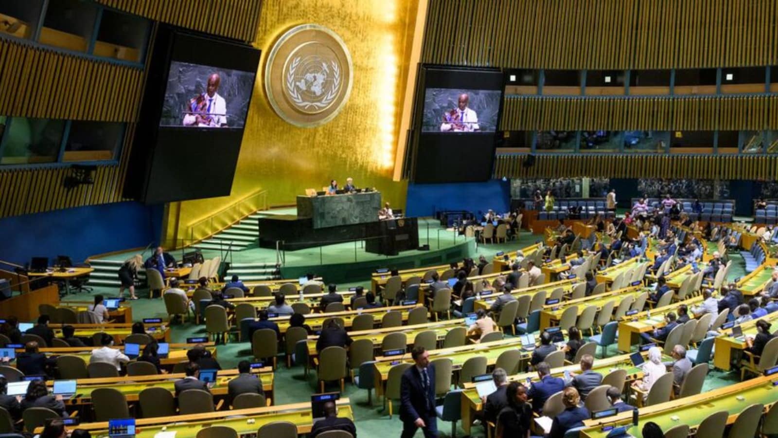
UN Backs African Push to Correct Distorted World Maps
UN Pushes Equal Earth Maps as Mercator Faces Scrutiny
UN Assembly Backs Equal Earth Map With India’s Support
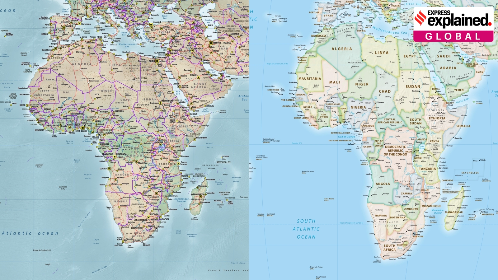
UN Adopts Equal Earth Map Amid Debate Over Flat-Map Accuracy
AU, UN Condemn Deadly Attack on South Sudan Peacekeepers