2 hrs ago
UN Assembly Backs Equal Earth Map for Global South
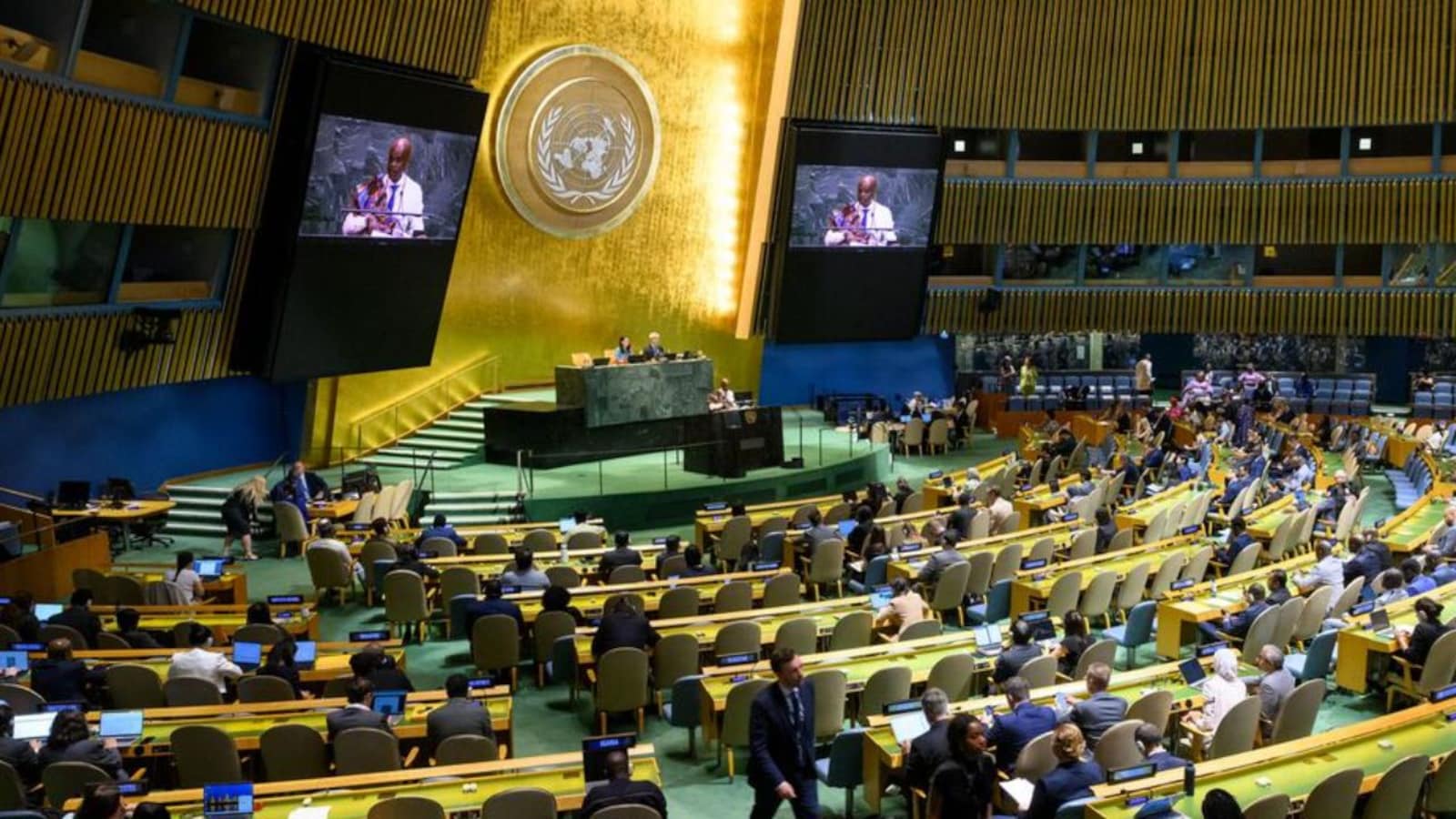
The United Nations General Assembly supported using a different kind of world map.
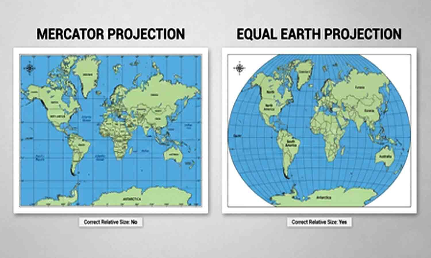
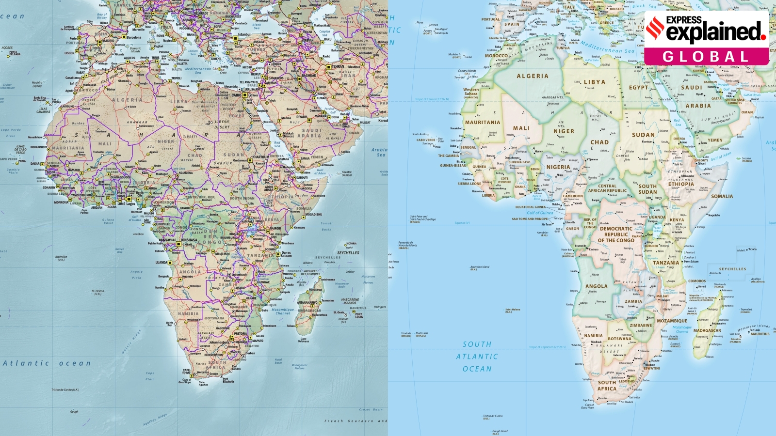
The Equal Earth map shows countries and continents closer to their real sizes.
Older Mercator maps make places in the north look much bigger than they are.
For example, Greenland appears as large as Africa, even though Africa is 14 times larger.
Togo led the effort to promote the new map.
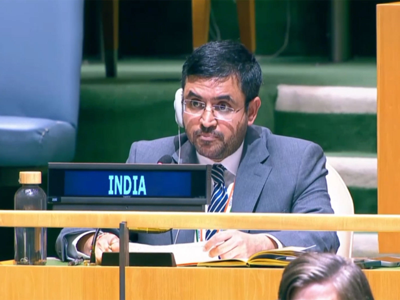
India and the European Union supported it.
The United States opposed the resolution, saying it was part of a larger ideological project.
The vote does not force anyone to change their maps.
France nevertheless said it would stop using Mercator maps for certain purposes.

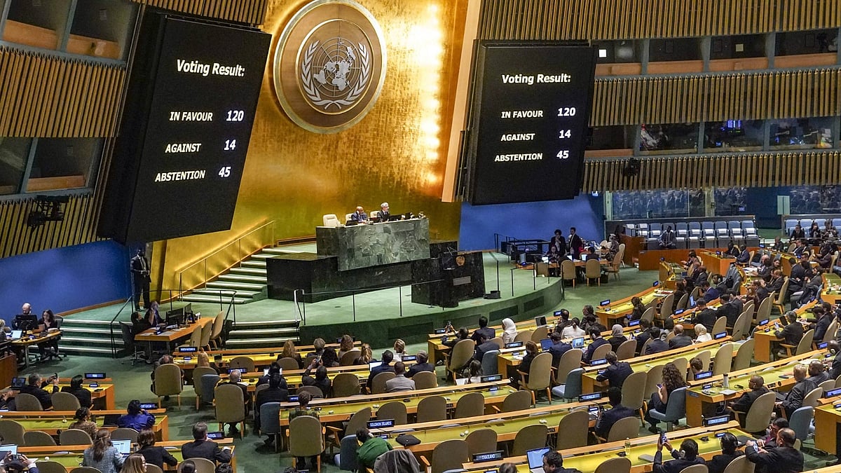
The United Nations General Assembly backed the Equal Earth Projection map over Mercator-style maps.
The resolution passed with 164 votes, six abstentions, and opposition from the United States.
Supporters said Mercator maps exaggerate northern countries and underrepresent the Global South.
Togo led the campaign, while India and the European Union supported the resolution.
The advisory resolution does not require countries or institutions to replace Mercator maps; France said it would do so.
- Who
- The United Nations General Assembly, with Togo leading the campaign and support from India and the European Union.
- What
- It adopted an advisory resolution backing the Equal Earth Projection map over Mercator-style maps.
- Where
- At the United Nations General Assembly.
- When
- Friday, according to the reports.
- Why
- Supporters said the Equal Earth Projection represents the actual sizes of countries and continents more accurately and fairly.
Supporters of the change
Opponents of the change
Purpose of the map
Supporters of the change
Togo and other supporters said maps should represent regions accurately and with dignity, improving understanding and geographical literacy.
Opponents of the change
The United States called the resolution part of a broader and more radical ideological project and said efforts like it damaged United Nations credibility.
Meaning of the change
Supporters of the change
Supporters said a fairer map changes how people see the world without changing geography and could promote respect and peace among nations.
Opponents of the change
The United States objected to the initiative, while the resolution's advisory nature leaves existing map choices in place.
Use of Mercator maps
Supporters of the change
The European Union said the initiative concerns cartographic representation for education, awareness, and geographical literacy, and France said it would abandon Mercator maps for specific uses.
Opponents of the change
Mercator remains the most common basis for maps worldwide and was originally created for marine navigation.
Key facts
- Vote
- The resolution passed with 164 votes and six abstentions; the United States was the sole objector.
- Map supported
- Equal Earth Projection.
- Map criticized
- The Mercator Projection, which exaggerates the apparent size of northern countries.
- Campaign leader
- Togo led the campaign for the change.
- Advisory status
- The resolution does not require governments or institutions to replace Mercator-style maps.
- French policy
- France said its foreign ministry would abandon Mercator maps in favor of representations tailored to specific uses.
- Example of distortion
- Greenland is shown as roughly the same size as Africa on Mercator maps, although Africa has 14 times more physical area.
Quotes
French Foreign Minister
France's foreign minister, speaking at Sorbonne University in Paris
“will abandon the Mercator projection in favour of map representations tailored to specific uses, more faithful to actual surface areas”
 thehansindia.com
“Correcting the map means recognising that every region of the world deserves to be represented accurately and with dignity”
thehansindia.com
Sources
Related news
UN backs Equal Earth map, making Africa larger
UN Backs Equal Earth Map to Show Africa’s True Scale
UN backs fairer maps as India urges cartographic neutrality
UN Backs African Push to Correct Distorted World Maps
UN Adopts Equal Earth Map Amid Debate Over Flat-Map Accuracy
India Backs UN Resolution Promoting More Accurate World Map