

1 hr ago
United Nations Moves to Phase Out Mercator Map
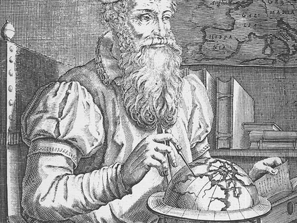

The United Nations reportedly adopted the “Correct the Map” resolution on Friday, September 4.
Togo led and sponsored the resolution, which received a positive response from 164 countries.
Gerardus Mercator published his influential world map in 1569.
Mercator’s projection helps navigators follow constant compass headings using straight lines.
The projection preserves local shapes and angles but greatly exaggerates areas near the poles.
- Who
- The United Nations, with Togo leading and sponsoring the resolution, and Gerardus Mercator, whose projection is being discussed.
- What
- The United Nations reportedly adopted the “Correct the Map” resolution, which would phase out Mercator’s world map from offices, schools, and atlases.
- Where
- The resolution concerns maps used in United Nations offices, schools, and atlases; the article does not specify the vote’s location.
- When
- Friday, September 4; Mercator published the map in 1569.
- Why
- The article links the resolution to correcting the severe area distortion of the Mercator projection, especially near the poles.
Key facts
- Resolution
- “Correct the Map”
- Lead sponsor
- Togo
- Reported support
- 164 countries
- Map publication
- 1569
- Cartographer
- Gerardus Mercator
- Projection benefit
- Straight lines represent constant compass headings, or rhumb lines.
- Main distortion
- Areas expand greatly toward the North and South Poles.
Sources
Related news
UN Adopts Equal Earth Map Amid Debate Over Flat-Map Accuracy

UN Backs Africa’s Push for More Accurate World Maps
UN Adopts Equal Earth Map to Better Represent Africa

UN Backs Equal Earth Map to Show Africa’s True Scale

UN backs fairer maps as India urges cartographic neutrality
