4 days ago
Shrinking Barrier Lake Keeps Nepal On Flood Alert
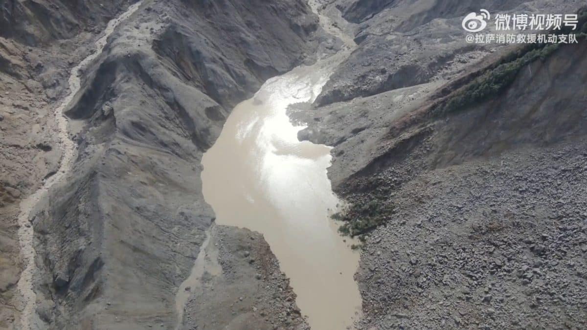
A glacier and part of a mountain collapsed near Nepal and China.
The falling ice, rocks and mud caused a huge flood.
The debris blocked a river and created a temporary lake, called a barrier lake.
This lake is dangerous because its natural dam is made of loose rocks and mud.
If the dam breaks, another fast flood could move downstream.
The lake has become smaller, which lowers the immediate danger.
However, another bigger lake was found near the collapse area.
Rain, melting ice or more falling debris could make the danger worse.
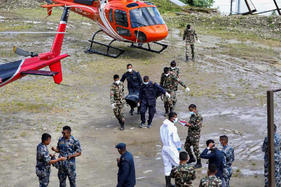
Rescue workers and nearby communities are staying ready to move.

A glacier collapse near Langtang Lirung on August 26 triggered catastrophic flooding along the Nepal-China border.
The collapse blocked a river channel and formed a barrier lake near the Chhochen Khola and Purepu Tsangpo confluence.
Satellite images showed the lake shrinking to about 99,000 square metres by Saturday, but another larger water body was identified nearby.
Officials warned that a breach could send mud, rocks and water downstream, threatening communities and rescue teams.
The initial disaster killed more than 626 people in Nepal, while nearly 2,000 remained unaccounted for, according to the report.
- Who
- Communities, rescue workers and authorities in Nepal and China are affected; Chinese specialist teams are monitoring the lake.
- What
- A glacier collapse caused catastrophic flooding and created a potentially dangerous barrier lake, with another larger water body later identified nearby.
- Where
- Near Langtang Lirung and the Nepal-China border, around the confluence of the Chhochen Khola and Purepu Tsangpo rivers.
- When
- The glacier collapse occurred on August 26; the lake was monitored through Saturday after the disaster.
- Why
- Debris from the collapse blocked a river channel, trapping water behind an unstable natural dam that could breach and cause another flood.
Key facts
- Initial disaster
- A glacier and mountain collapse released ice, water, rocks and mud into the Lhende Khola, Bhote Koshi and Trishuli river systems.
- Barrier lake location
- Near the Chhochen Khola and Purepu Tsangpo confluence, more than 10 kilometres from Gyirong Port.
- Lake elevation
- About 2,950 metres, approximately 1,000 metres above the border port.
- Lake size
- The lake's surface area fell to about 99,000 square metres by early Saturday, around 21,000 square metres less than on Thursday.
- Reported Nepal toll
- More than 626 people had died and nearly 2,000 remained unaccounted for, according to the report.
- Damage
- Floods destroyed or damaged roads, bridges, hydropower facilities, transmission infrastructure and the Gyirong Port border complex.
- Monitoring response
- China Anneng sent a 15-member team using drones, portable satellite stations and mobile surveillance cameras.
Sources
Related news
China Warns Nepal Barrier Lake Could Breach Within 72 Hours
Nepal Faces Second Flood Threat From Tibetan Barrier Lake
China Warns New Barrier Lake Could Trigger Another Nepal Flood
Nepal Floods Kill 469 as Barrier Lakes Threaten New Deluge
Nepal and China Warn of Fresh Himalayan Flood Threats

Lake Burst Risk Eases After China-Nepal Glacier Collapse

Nepal Flood Death Toll Tops 1,200 as Climate Risks Rise
Bihar on Alert as Rivers Swell, Sone Barrage Gates Open
Satellite Radar May Strengthen Nepal's Flood Warning Systems
Nepal Plans New Landslide Warning System Along China Border

Nepal Thanks India as Glacial Disaster Rescue Efforts Continue