

1 hr ago
ISRO Launches EOS-05 Satellite for Near-Real-Time Disaster Monitoring

ISRO has sent a new satellite called EOS-05 into space.
It will stay above the same general part of Earth instead of quickly passing over different places.
This lets it watch areas more often than many satellites in low Earth orbit.
EOS-05 can take a picture of one region every five minutes.
It can also photograph the whole Indian landmass every 30 minutes.
These images may help officials watch storms, floods, fires and other disasters.
The satellite can also provide information about weather, crops, soil and vegetation.
It may help monitor maritime zones and international borders as well.

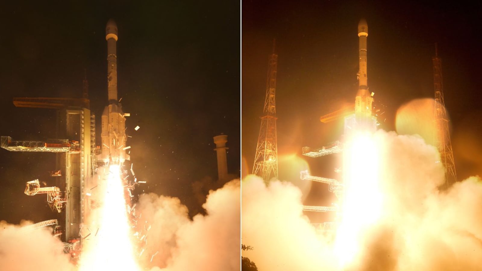
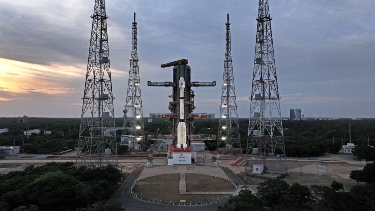
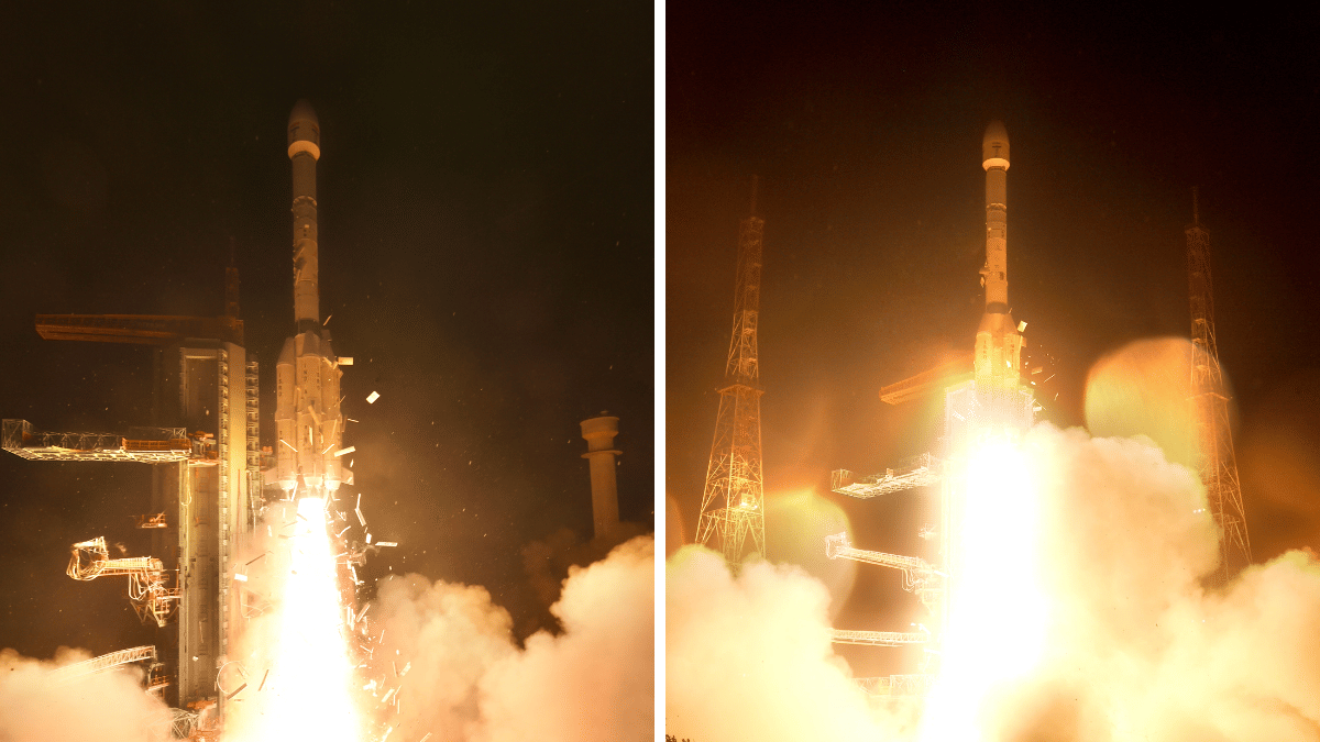
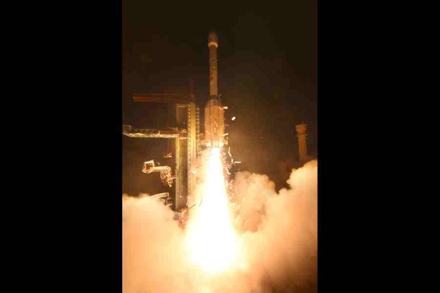
ISRO launched the 2,367-kilogram EOS-05 satellite aboard the GSLV-F17 rocket from Satish Dhawan Space Centre at 2:55 am on Friday.
EOS-05 will operate in geosynchronous orbit about 36,000 kilometres above Earth, making it India’s first imaging satellite in that orbit.
Its multispectral and hyperspectral sensors can image a specific region every five minutes and the entire Indian landmass every 30 minutes.
The satellite is designed to support near-real-time monitoring of storms, cyclones, floods, cloudbursts and forest fires.
EOS-05 will also support maritime and border monitoring, weather analysis, agriculture assessments and observation of soil moisture and vegetation changes.
- Who
- The Indian Space Research Organisation launched the EOS-05 satellite.
- What
- EOS-05, an Earth observation satellite, was launched aboard the GSLV-F17 rocket.
- Where
- From the Satish Dhawan Space Centre into geosynchronous orbit about 36,000 kilometres above Earth.
- When
- Friday at 2:55 am; the article does not provide a calendar date.
- Why
- To provide near-real-time disaster monitoring and support weather, agriculture, maritime-zone and border observation.
Key facts
- Satellite
- EOS-05
- Launch vehicle
- GSLV-F17
- Mass
- 2,367 kilograms
- Orbit
- Geosynchronous orbit at approximately 36,000 kilometres altitude
- Imaging frequency
- A specific region every five minutes; the entire Indian landmass every 30 minutes
- Spatial resolution
- 42 metres, described as ISRO’s highest-resolution camera in geostationary orbit
- Sensors
- Multispectral VNIR and hyperspectral VNIR/SWIR sensors
Sources
Related news
ISRO Launches EOS-05 for Frequent Imaging of India
ISRO Sets September Launch for EOS-05 Earth-Imaging Satellite
ISRO Launches EOS-05 Toward India’s First Geo-Imaging Orbit

ISRO Launches EOS-05, India's First Geosynchronous Imaging Satellite
ISRO’s ‘Naughty Boy’ Boosts EOS-05 Orbit, Saving Propellant
ISRO Successfully Launches India’s First Geo-Orbit Imaging Satellite
India’s Space Journey Enters a Commercial, Human-Spaceflight Era

ISRO Chief Prays at Tirumala Ahead of EOS-05 Launch

CISF Begins Security Operations at ISRO Propellant Complex

Science and Technology Quiz Covers Aviation, Health and Space
