

3 weeks ago
Delhi Records Wettest First Week of August in 15 Years
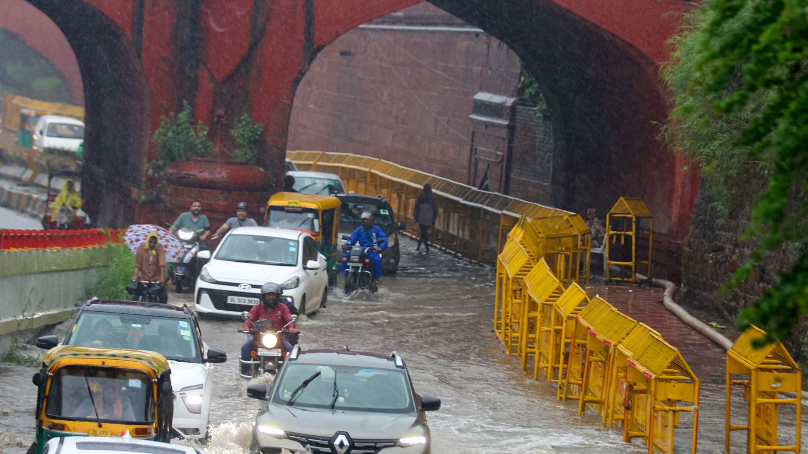
Delhi is a very big city in India.
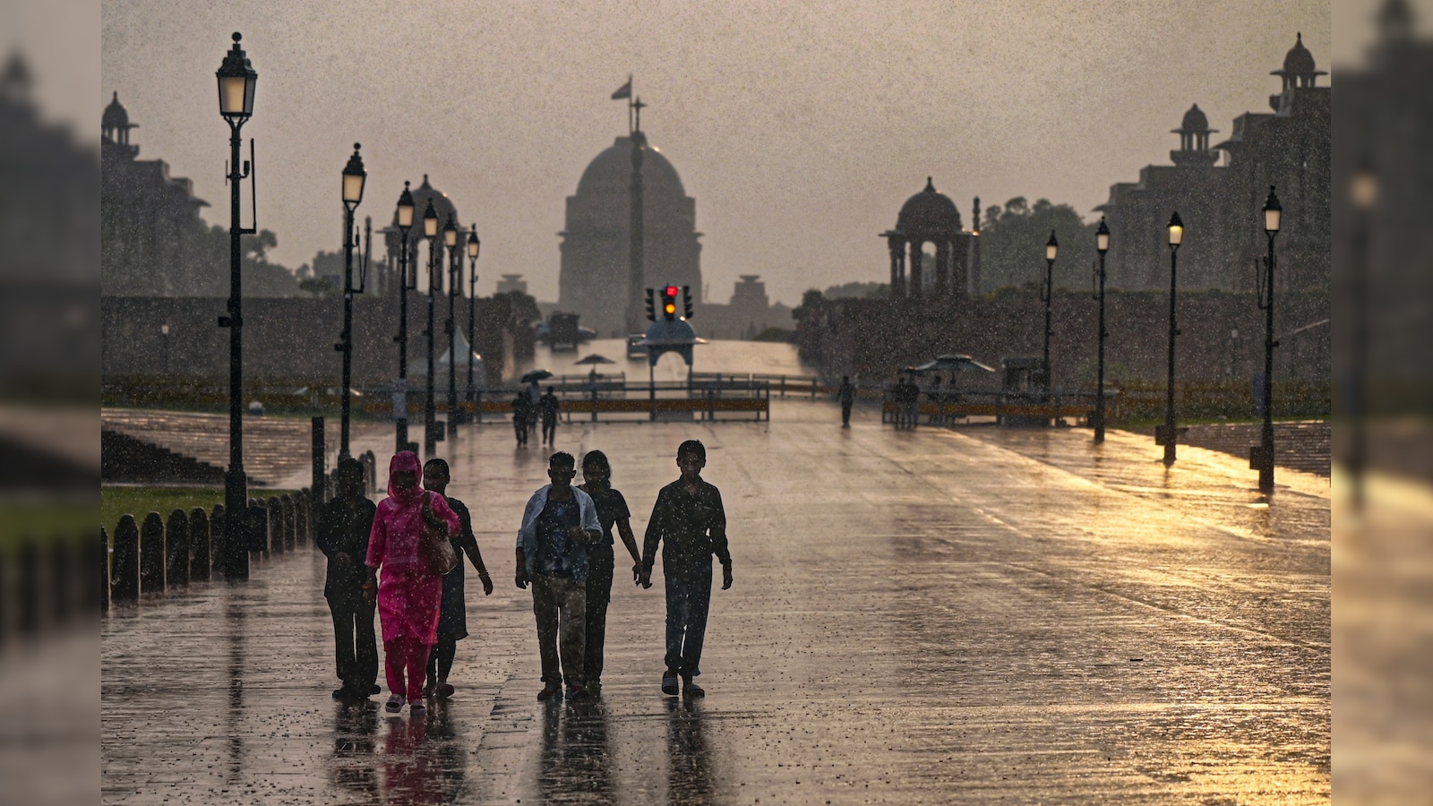
In the first week of August, it rained more than it has in that week in the last 15 years.
The weather office, called the India Meteorological Department, sent out a red alert, which is a very serious warning.
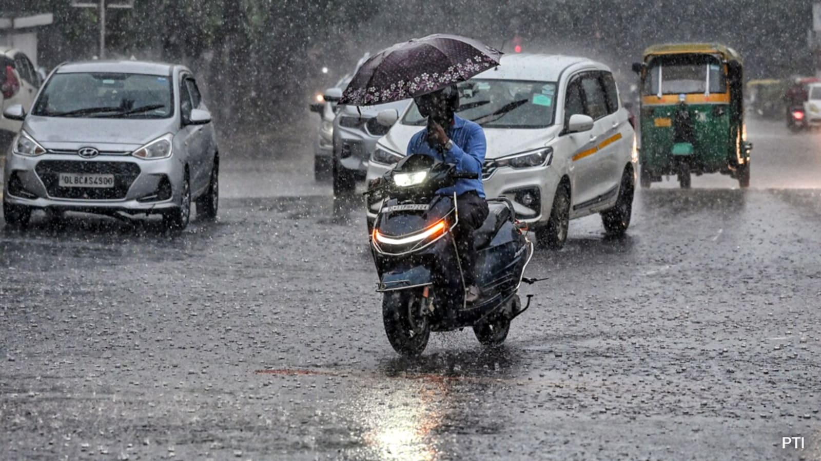
The rain filled the roads with water, in some places up to four feet deep.
Cars got stuck, and many people were trapped in long traffic jams and had trouble getting home.
The heavy rain also made the weather much cooler than usual for August.
The rain was caused by several weather systems, including the monsoon trough and a western disturbance.
The air in the city stayed clean, with an air quality rating of 'satisfactory'.
Weather experts say the heavy rain is expected to slow down, with light rain likely over the next two days.
The wet spell may continue until August 10.

Delhi received 127 mm of rainfall between August 1 and 7, its wettest first week of August since 2011.
The India Meteorological Department (IMD) issued a red alert for Delhi as heavy rain submerged arterial roads under up to four feet of water.
Pushp Vihar logged the highest rainfall at 111.5 mm (one report says 147.5 mm), followed by Chhatarpur at 104.5 mm (one report says 131 mm).
Maximum temperatures ranged between 26.7°C and 27.5°C, around 5.7°C to 7.3°C below normal for August.
IMD attributed the rain to an active monsoon trough, a low-pressure area over southwest Uttar Pradesh and a western disturbance; rainfall is expected to ease from Saturday.
- Who
- Residents of Delhi and the National Capital Region (including Gurgaon and Noida), and the India Meteorological Department (IMD), which issued alerts and tracked the rainfall.
- What
- Delhi recorded its wettest first week of August in 15 years, with 127 mm of rain causing waterlogging, flooded roads and major traffic disruption.
- Where
- Delhi and the National Capital Region, including Gurgaon and Noida, and Delhi stations such as Safdarjung, Pushp Vihar, Chhatarpur, Ayanagar and Palam.
- When
- First week of August 2026, with the heaviest rain on Friday, August 7.
- Why
- The heavy rain was triggered by an active monsoon trough, a low-pressure area over southwest Uttar Pradesh with an associated cyclonic circulation, and a western disturbance affecting northwest India.
Key facts
- Total rainfall (August 1-7)
- 127 mm, wettest first week of August since 2011
- Alert issued
- Red alert by the India Meteorological Department (IMD); yellow alert for Saturday
- Highest rainfall stations
- Pushp Vihar 111.5 mm (one report: 147.5 mm); Chhatarpur 104.5 mm (one report: 131 mm)
- Maximum temperatures
- 26.7°C to 27.5°C, 5.7 to 7.3 degrees below normal
- Safdarjung maximum temperature
- 27.5°C, 6.7 degrees below normal
- Air quality index (AQI)
- 63, categorized as 'satisfactory'
- Rainfall excess at Ayanagar
- 124.3 mm, 235 per cent above normal
- Forecast
- Rainfall expected to decrease from Saturday, with light rain over the next two days; wet spell likely till August 10
Quotes
IMD official
Official from the India Meteorological Department
“"The widespread rainfall over Delhi since yesterday has been influenced by the active monsoon trough, which continues to pass through Delhi and other parts of north and east India before extending into the east‑central Bay of Bengal. Rainfall activity over Delhi is expected to decrease from tomorrow, with light rain likely over the city during the next two days."”
 news18.com
 NDTV
NDTV
Sources

Related news
Delhi's Wettest August Day in Two Years Brings Heavy Rain, Waterlogging

Heavy Rain Lashes Delhi, Causing Waterlogging and Traffic Snarls
Heavy Rain In Delhi-NCR, More Showers Forecast Till August 14
Delhi Crosses August Rainfall Average Within First Eight Days
Delhi's Wettest August Day In Two Years Brings Waterlogging

Heavy Rain Again Floods Delhi, Disrupts Traffic And Flights
Indian Courts and Officials Face Detention, Speech Controversies

Sharma and Malik share halfway lead at Telangana Golconda Masters

Films Raise Awareness of Violence but Cannot End It

Teen Allegedly Gangraped on Moving Delhi Bus; Two Arrested
Allahabad High Court Quashes NSA Detention in Noida Protest Case
