

3 weeks ago
Delhi Crosses August Rainfall Average Within First Eight Days
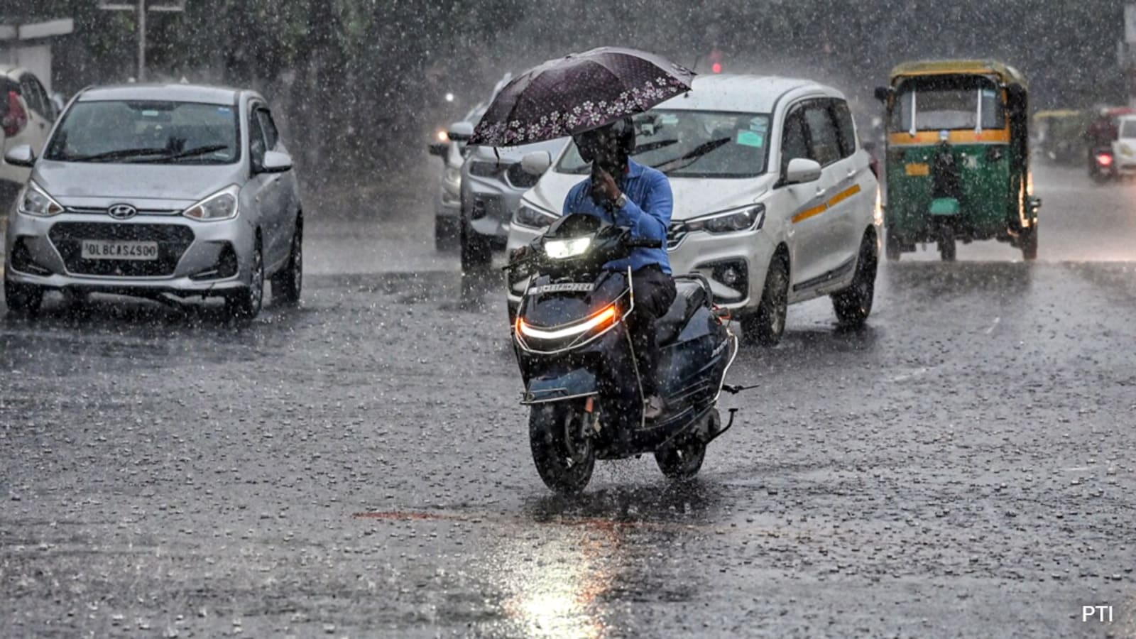
Delhi is a big city in India, and it has been raining a lot there.
In just the first eight days of August, the city got more rain than it usually gets in the whole month.
A weather station called Safdarjung measured 230.1 millimeters of rain so far.
Normally, Delhi gets about 226.8 millimeters of rain in August, based on weather records from 1991 to 2020.
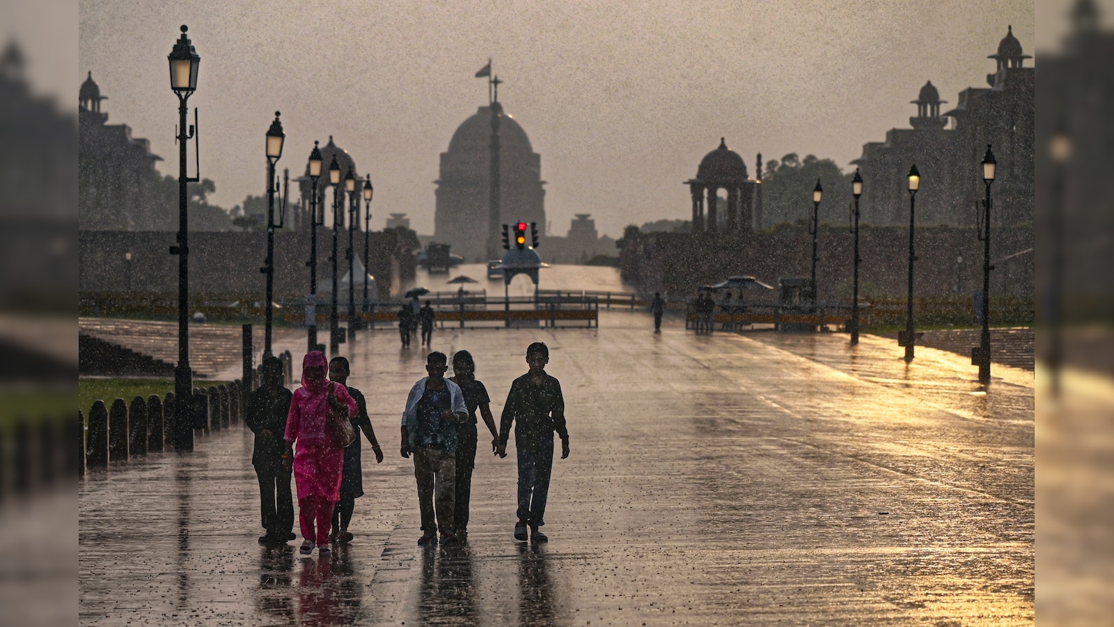
Saturday was the wettest August day in Delhi in two years, with almost 99 millimeters of rain in one day.
The last time a single August day brought more rain was on August 1, 2024.
It has rained in Delhi for four days in a row.
Other parts of the city, like Ayanagar, Palam, Ridge, and Lodi Road, also got a lot of rain.
At Palam, it was the most rain in one August day since at least 2011.
Weather experts say light rain may continue in some places for the next two days, and one report says showers should ease on Sunday.

Delhi crossed its average August rainfall of 226.8 mm within the first eight days of the month, with Safdarjung Observatory recording 230.1 mm.
Saturday was Delhi's wettest August day in two years, with Safdarjung recording 98.7 mm of rain in the 24 hours ending at 8:30 am.
The last heavier August day was August 1, 2024, when Safdarjung recorded 107.6 mm of rainfall.
Palam recorded 104.6 mm, its highest 24-hour August rainfall since at least 2011, while Ayanagar recorded 115 mm, Ridge 89.8 mm and Lodi Road 86.8 mm.
Rain continued for a fourth consecutive day; the IMD forecasts light to very light rain at some places over the next two days, with one report adding that showers should ease on Sunday.
- Who
- Delhi residents and the India Meteorological Department (IMD), which tracks rainfall at Safdarjung Observatory.
- What
- Delhi crossed its average August rainfall of 226.8 mm within the first eight days of the month, recording 230.1 mm at Safdarjung.
- Where
- Delhi, India, measured at Safdarjung Observatory and stations including Palam, Ayanagar, Ridge, and Lodi Road.
- When
- Within the first eight days of August, including the 24-hour period ending at 8:30 am on Saturday.
- Why
- Persistent heavy rain pushed the month's cumulative total above the 1991-2020 August average in just eight days.
Focus on Impact and Warnings
Focus on Data and Records
Interpretation of the rain event
Focus on Impact and Warnings
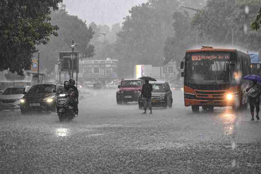
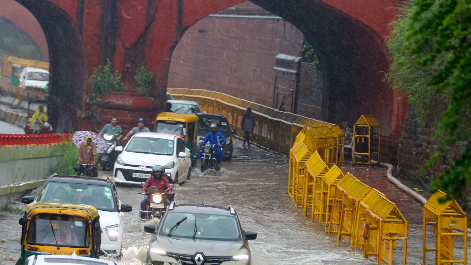
The downpour is disruptive — a related report cited by one article says the rain brought the city to a standstill after roads flooded, prompting the IMD to issue a red alert.
Focus on Data and Records
The event is primarily a statistical milestone, with cumulative and single-day rainfall crossing historical August averages at multiple weather stations.
Key facts
- Cumulative rainfall at Safdarjung (August)
- 230.1 mm (one report cites the cutoff as 8:30 pm Saturday; others cite 225.7 mm until 8:30 am plus 4.4 mm between 8:30 am and 5:30 pm)
- August average rainfall (1991-2020)
- 226.8 mm
- Wettest August day in two years
- 98.7 mm at Safdarjung (24 hours ending 8:30 am Saturday)
- Previous wettest August day
- 107.6 mm on August 1, 2024
- Consecutive rainy days
- 4 days
- Station rainfall (24 hours ending 8:30 am Saturday)
- Ayanagar 115 mm, Palam 104.6 mm, Ridge 89.8 mm, Lodi Road 86.8 mm, Safdarjung 98.7 mm
- Palam record
- 104.6 mm is Palam's highest 24-hour August rainfall since at least 2011, amounting to more than half of Palam's 197.9 mm monthly average
- Forecast
- Light to very light rain at some places over the next two days; one report says light to moderate rain on Sunday with no weather-related impact warning
Sources

Related news

Delhi Crosses August Rainfall Normal After Rain Brings Relief

Delhi Sees Wetter August, Warm Nights and Higher AQI
IMD corrects entry error; Delhi short of normal August rain
Delhi Records Wettest First Week of August in 15 Years

Delhi's Wettest August Day in Two Years Brings Heavy Rain, Waterlogging
Delhi's Wettest August Day In Two Years Brings Waterlogging
Delhi Warm Monday Morning, Temperatures Rise Above Normal

Delhi's First Woman Mayor Shakuntala Arya Dies at 98

Delhi NCR to Experience Cloudy Skies and Light Rain
Delhi records below-normal temperatures, light rain expected