

Science & Tech · Science & Environment · 1 hr ago
New tool maps geological and climate risks beneath cities
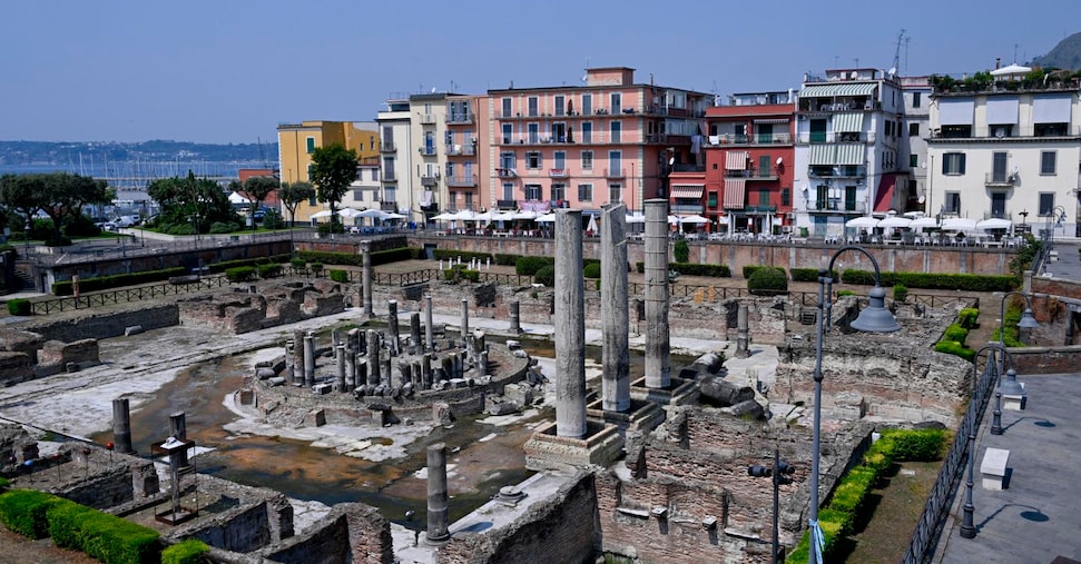
Researchers at Italy’s ISPRA developed a tool to assess urban ground conditions with the European network of geological services, EuroGeoSurveys.
The Urban Geo-climate Footprint combines geological, climate and human-activity factors to show how they interact with a city.
It uses public data to give each urban area a score from 0 to 500, with higher scores indicating greater influence on city development and functioning.
In the Italian results, scores ranged from 94 in Trento to 359 in Naples; Genoa scored 304.
The method can also produce a City Geo Factsheet, a summary of a city’s geological and climate profile, including ground conditions, groundwater, hazards and resources.
ISPRA says the information is meant to help people make better decisions about planning and action in urban areas.

Researchers at Italy’s ISPRA developed a tool to assess how geological and climate conditions interact with urban areas.
The Urban Geo-climate Footprint (UGF) combines geological, climate and human-activity factors into a score from 0 to 500.
The method has been tested in several European cities and Italian regional and provincial capitals.
Among the Italian cities listed, scores ranged from 94 in Trento to 359 in Naples.
The approach can also produce a City Geo Factsheet summarising an urban area’s geological and climate profile.
- Who
- ISPRA researchers developed the tool in collaboration with the European network of geological surveys, EuroGeoSurveys.
- What
- The Urban Geo-climate Footprint measures the interaction between geological and climate conditions and the urban fabric.
- When
- Not stated
- Where
- It has been tested in several European cities and Italian regional and provincial capitals.
- Why
- To help assess urban areas’ geological and climate vulnerabilities and support decisions about planning and action.
This story does not have two clearly opposing sides.
ISPRA researchers developed the Urban Geo-climate Footprint with the EuroGeoSurveys network.
The method was tested through analyses of several European cities and Italian regional and provincial capitals.
Italian city scores ranged from 94 in Trento to 359 in Naples.
- Score range
- 0–500 points
- Trento score
- 94 points
- Naples score
- 359 points
- Other high scores
- Genoa 304; Palermo 265; Bari 255; Catanzaro 250
- City Geo Factsheet
- Summarises an urban area’s geological and climate profile
What people are saying
Knowing what is under our feet helps us decide what to do above.
With the Urban Geo-climate Footprint, a quick look is enough to understand the territory a city stands on, its main critical issues and where action is possible.
This is the step we want to make easier: turning data and scientific expertise into concrete solutions for those who have to choose, plan and act.
Sources
Related news

High-speed video shows how detached honeybee stingers keep pumping venom

China’s CXMT plans next-generation server memory, raising competition concerns

Red dwarf slowly draws matter from a brown dwarf
A 1960 population model set a ‘doomsday’ date that later growth disproved

Pacific buoy recorded a 17.6-metre rogue wave nearly three times its neighbours

Scans reveal how Iran’s spider-tailed viper’s unusual lure is built

New Zealand develops tools to remove invasive caulerpa seaweed

NHAI begins tree planting along ECR widening project
Andhra Pradesh researchers named to Stanford-linked top scientists list

MIT startup develops system to convert diesel trucks to hydrogen
