Science & Tech · Space · 2 hrs ago
Satellite image shows Namibia’s Etosha Pan in vivid false colors
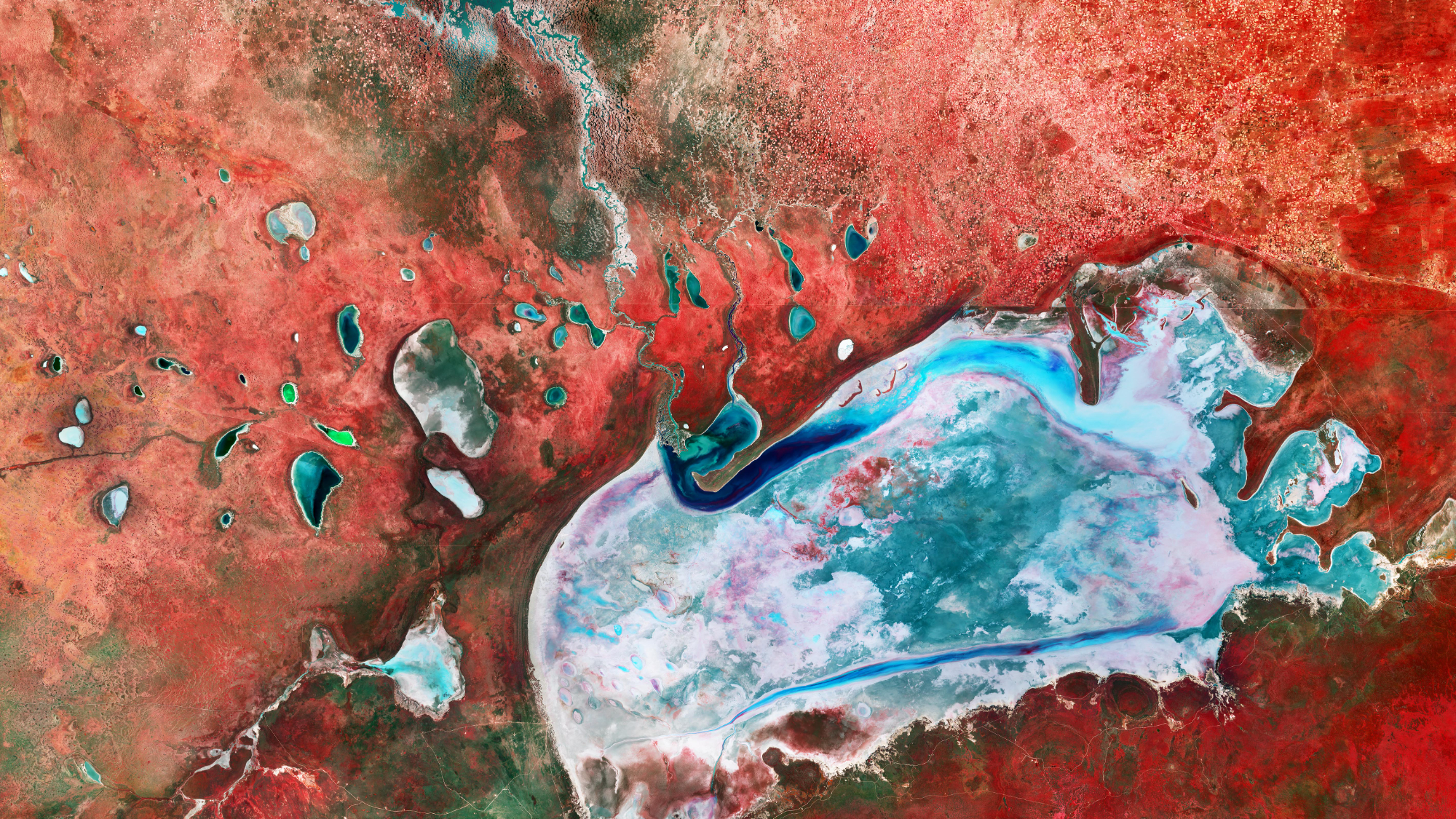
A satellite image shows the Etosha Pan, Namibia’s largest salt pan, in Etosha National Park in the country’s north.
The image was captured on April 5 by one of the European Copernicus Sentinel-2 satellites.
It looks blue and red because scientists used false color to make differences in the land and vegetation easier to see.
In person, the salt pan appears bright white, while the surrounding vegetation includes grassland, savannas and mopane trees.
The trees provide shelter and habitat for wildlife, including elephants, giraffes and leopards.
Images taken from space in different wavelengths can help researchers understand the area’s terrain and how it changes over time.

A false-color satellite image shows Namibia’s Etosha Pan in vivid blues and reds.
The image was captured on April 5 by the European Copernicus Sentinel-2 mission.
Etosha Pan is the largest salt pan in Namibia and lies in Etosha National Park in the country’s north.
False color makes the pan appear blue and the surrounding vegetation red, although the pan looks bright white in real life.
The imagery can help researchers distinguish vegetation and topography.
- Who
- Europe’s Copernicus Sentinel-2 mission captured the image.
- What
- A false-color satellite image shows Etosha Pan and its surroundings.
- When
- April 5, 2026.
- Where
- Etosha National Park in northern Namibia.
- Why
- False color helps scientists separate types of vegetation and topography.
This story does not have two clearly opposing sides.
No direct quotes in the coverage so far.
Copernicus Sentinel-2 captured the image of Etosha Pan.
Space.com published the image as its space photo of the day.
- Location
- Etosha National Park, northern Namibia
- Image date
- April 5, 2026
- Mission
- Copernicus Sentinel-2
- Salt pan
- Namibia’s largest
- Spectral bands
- 13 ranges of wavelengths
- Published
- Space.com, October 12, 2026
Sources
Related news

Former Apollo astronaut says he believes UFOs are demonic
New measurement finds primordial helium makes up 24.58% of early matter

Starlink's India launch remains on hold as security reviews continue
Voskhod 1 carries the first three-person crew into space

MDA Space to use Jena-Optronik star sensor on low-Earth orbit mission
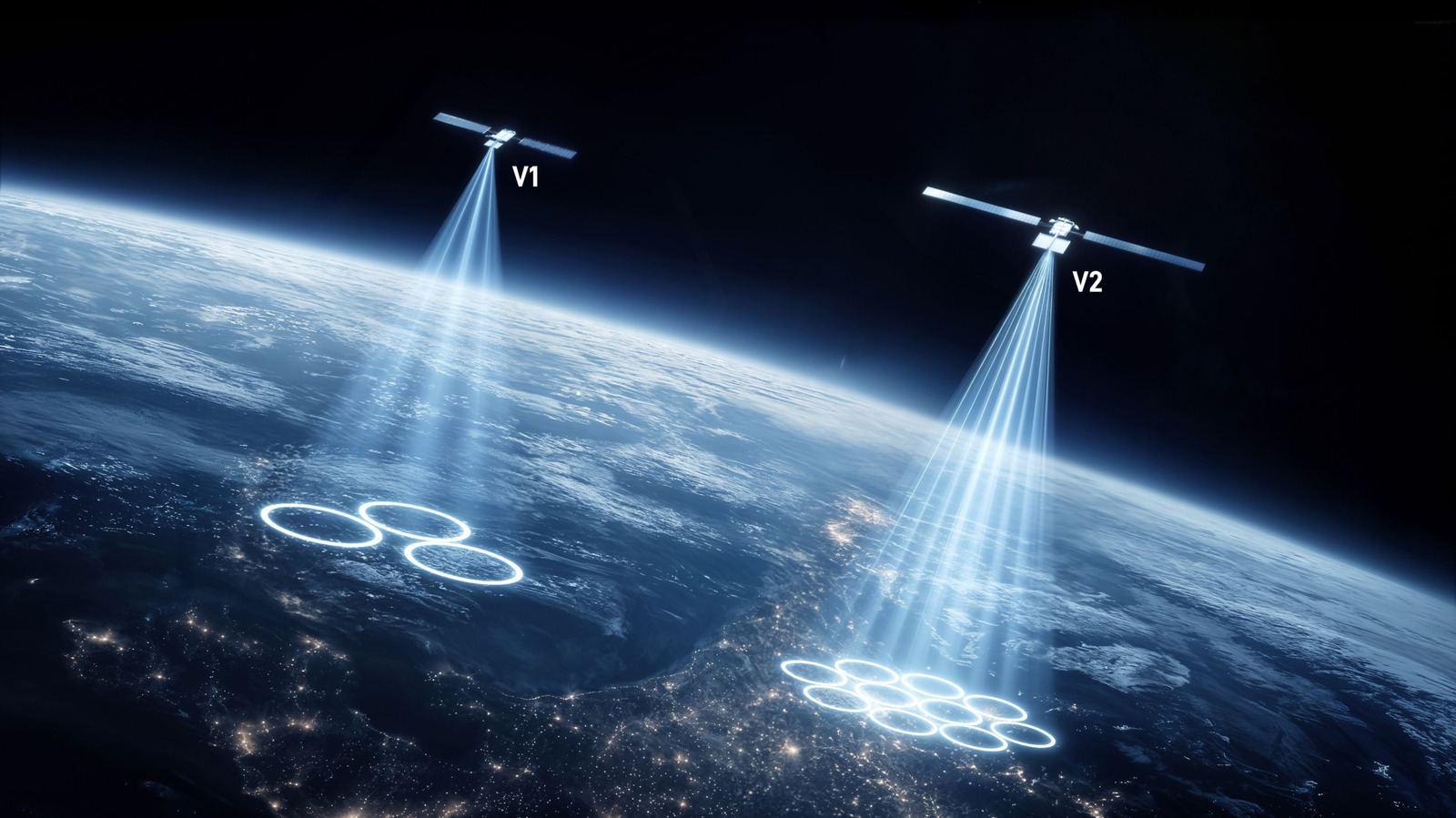
SpaceX plans to expand Starlink into a major US mobile carrier

French astronaut Sophie Adenot says space brought a full range of emotions

US and China face major challenges in building bases on the moon
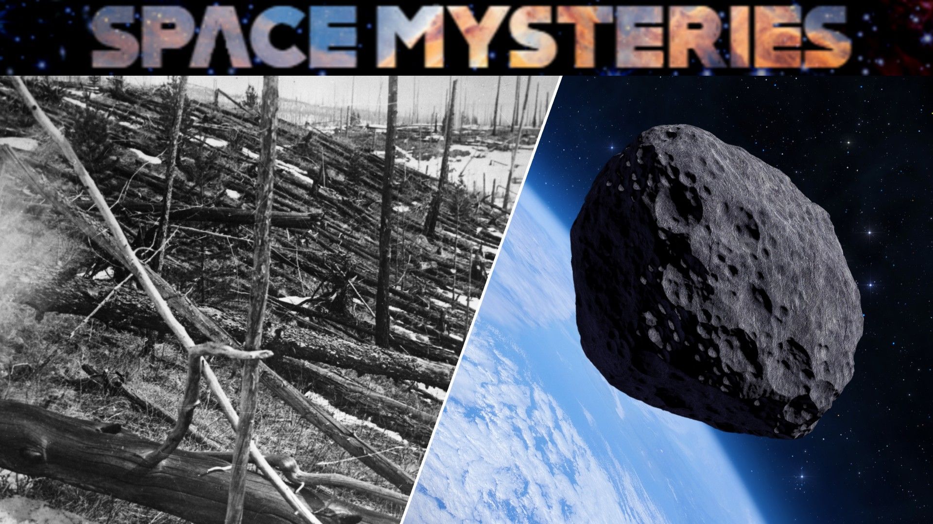
Scientists believe a small asteroid caused Siberia’s 1908 Tunguska blast
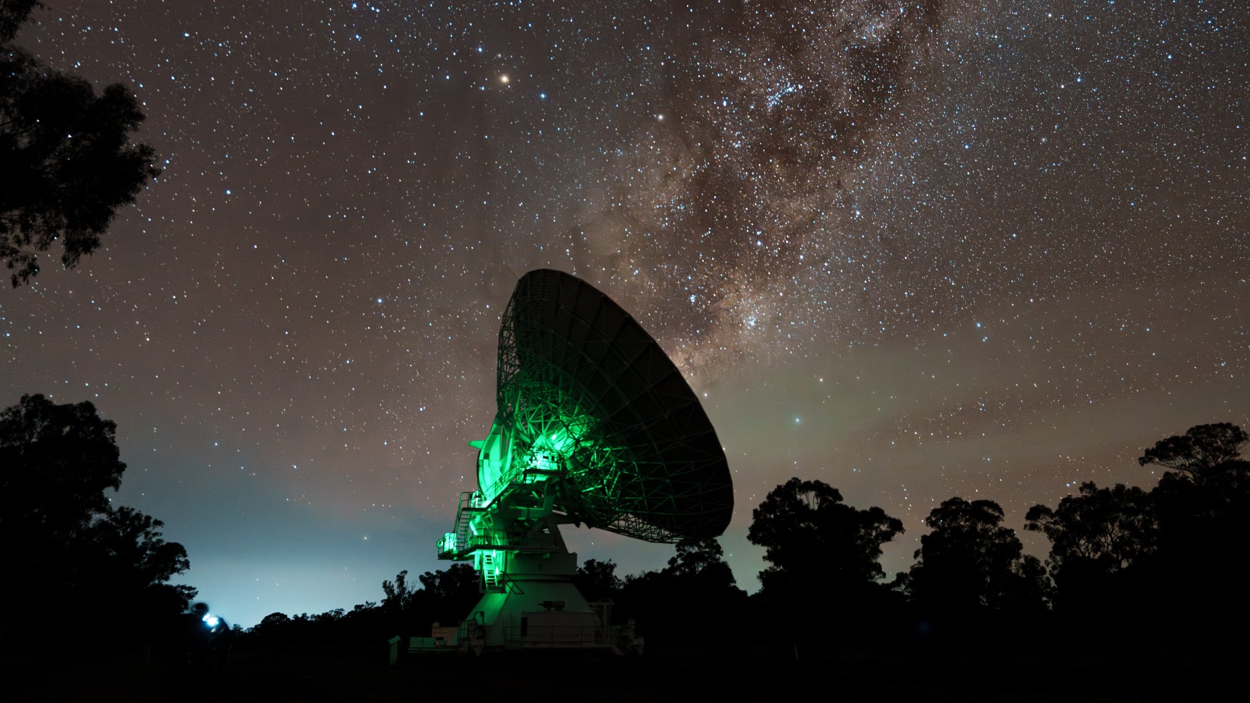
Distant Radio Burst Traced to a Small, Actively Forming Galaxy

NASA releases nearly 800 GB of Artemis II lunar data