5 days ago
China's Himalayan Infrastructure Raises Concerns After Nepal Floods

A very large ice-and-rock avalanche near the Tibet-Nepal border triggered floods in Nepal.
The floods hit Rasuwa district on August 26.
Brahma Chellaney says Chinese construction upstream may have made the flooding worse.
Roads, embankments and other structures have changed parts of the mountain landscape.
These changes can leave less room for water, rocks and mud to spread safely.
River structures may also create blockages when huge amounts of water arrive.
China has monitoring stations in the Tibetan headwaters, but Chellaney says real-time information is not comprehensively shared with Nepal.
The event has started a debate about how construction can affect the damage caused by natural disasters.

Flash floods struck Nepal’s Rasuwa district on August 26 after a massive ice-and-rock avalanche near the Tibet-Nepal border.
Strategic studies professor Brahma Chellaney alleged that Chinese construction upstream may have amplified the disaster.
The reported infrastructure includes embankments, roads, border facilities, diversion weirs and water-intake structures.
Chellaney argued that altered river channels and narrow valleys may have intensified the movement of water and debris downstream.
The disaster renewed calls for comprehensive, real-time hydrological data sharing and emergency-warning arrangements between China and Nepal.
- Who
- Residents and infrastructure in Nepal were affected; Brahma Chellaney raised concerns about possible upstream effects from Chinese projects.
- What
- Flash floods followed a massive ice-and-rock avalanche, with allegations that upstream infrastructure may have amplified the resulting damage.
- Where
- Nepal’s Rasuwa district and the China-Nepal border region, including the Tibetan headwaters.
- When
- August 26, 2026; Chellaney discussed the issue in an August 28 post on X.
- Why
- The disaster prompted concern that altered rivers, mountain valleys and limited hydrological data sharing may have increased downstream risks.
Infrastructure-May-Have-Amplified View
Natural-Hazard View
Cause and scale of the disaster
Infrastructure-May-Have-Amplified View
Brahma Chellaney argues that Chinese embankments, roads, border facilities and other upstream works may have turned a natural event into a larger catastrophe.
Natural-Hazard View
The article states that the floods were triggered by a massive ice-and-rock avalanche, while the extent to which infrastructure increased the damage remains an allegation.
Effect of modified river channels
Infrastructure-May-Have-Amplified View
Altered riverbanks, narrow valleys and hydrological structures may reduce space for floodwater and debris or create bottlenecks that intensify downstream flows.
Natural-Hazard View
The infrastructure was developed to support connectivity, trade, flood protection or water management during normal conditions, and the article does not establish that any specific structure caused damage.
Emergency information
Infrastructure-May-Have-Amplified View
Chellaney says more comprehensive, real-time hydrological data sharing could give Nepalese communities additional time to evacuate and protect infrastructure.
Natural-Hazard View
The article does not provide a response from China or Nepal confirming whether existing monitoring and warning arrangements were inadequate during this event.
Key facts
- Affected district
- Rasuwa district, Nepal
- Trigger
- A massive ice-and-rock avalanche near the Tibet-Nepal border
- Infrastructure cited
- Embankments, roads, highways, border facilities, diversion weirs and water-intake structures
- Chinese facility mentioned
- Gyirong Port
- Main allegation
- Upstream Chinese construction may have intensified the flood’s downstream effects
- Data concern
- A lack of comprehensive, year-round, real-time hydrological data sharing and emergency warnings between China and Nepal
- Commentator
- Indian geostrategist and strategic studies professor Brahma Chellaney
Sources
Related news

Nepal Floods Kill 46 as China Construction Claims Emerge
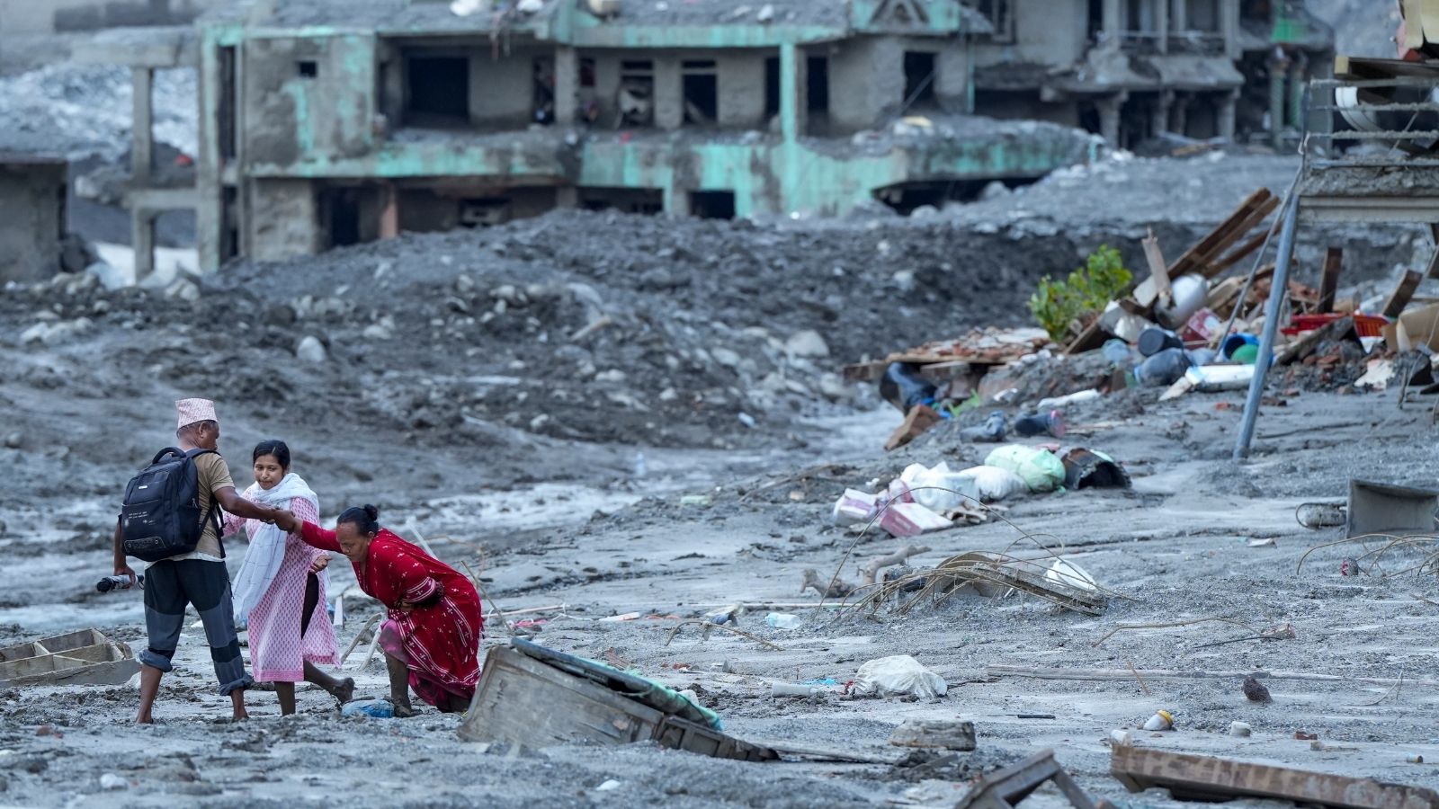
Nepal's Rasuwa Floods Expose Risks of Himalayan Infrastructure

Nepal Floods Spark Dispute Over Chinese Warnings and Construction

China Rejects Flood Trigger Claim After Himalayan Disaster
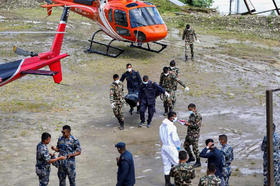
Nepal Plans New Landslide Warning System Along China Border

Nepal Thanks India as Glacial Disaster Rescue Efforts Continue
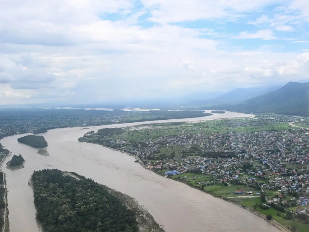
Nepal Warns of Heavy Rain After Deadly Floods
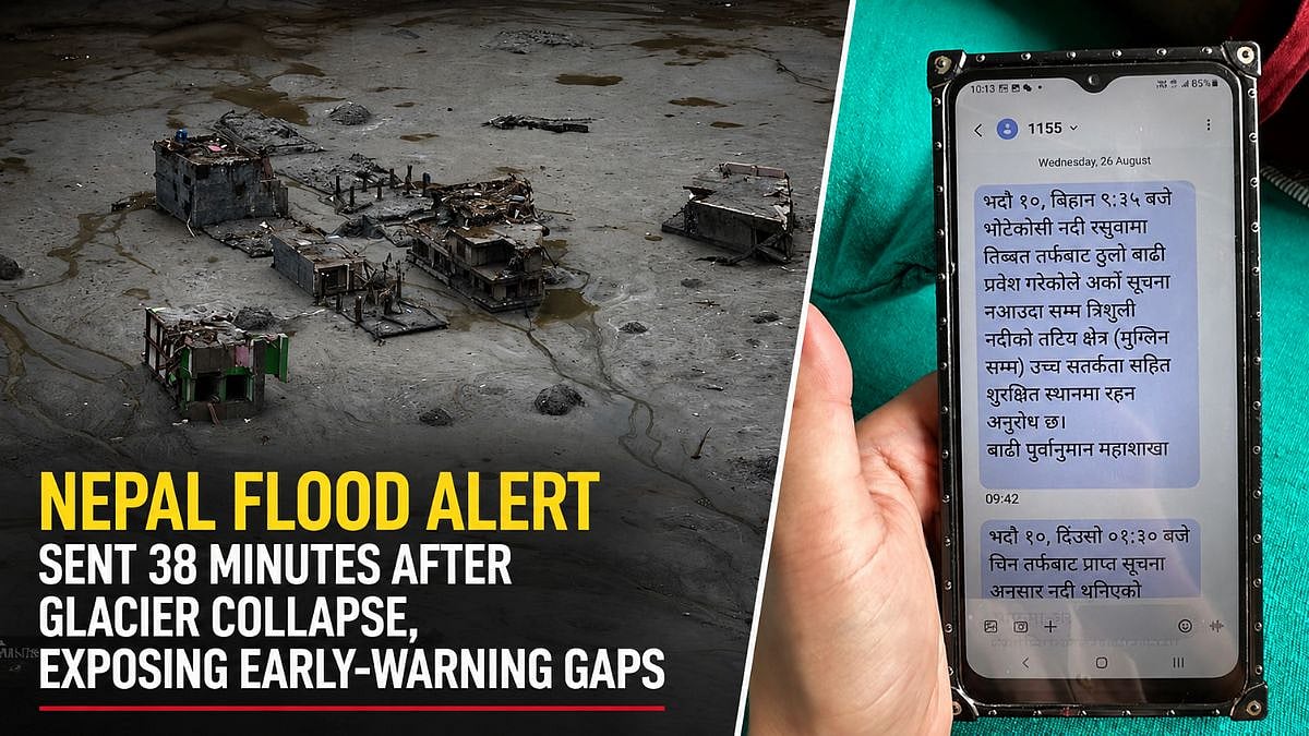
Nepal Flood Exposes Delayed Alerts and Cross-Border Warning Gaps

Bhotekoshi Flood Crisis: Nepal PM Shah Calls for Courage