3 weeks ago
NHAI, WII Study Elevated Corridor Over Amrabad Tiger Reserve

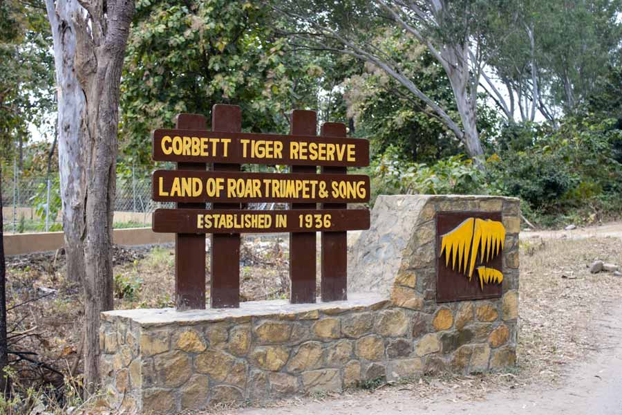
Some road builders and wildlife experts visited a big forest in India where tigers live.
The forest is called the Amrabad tiger reserve.
They are thinking about building a road high up in the air, like a very long bridge, over the forest.
This road would be 54 kilometers long and would have four lanes.
Today, the regular road goes straight through the forest.
Many cars, buses, and trucks use it every day, and even more come on weekends.
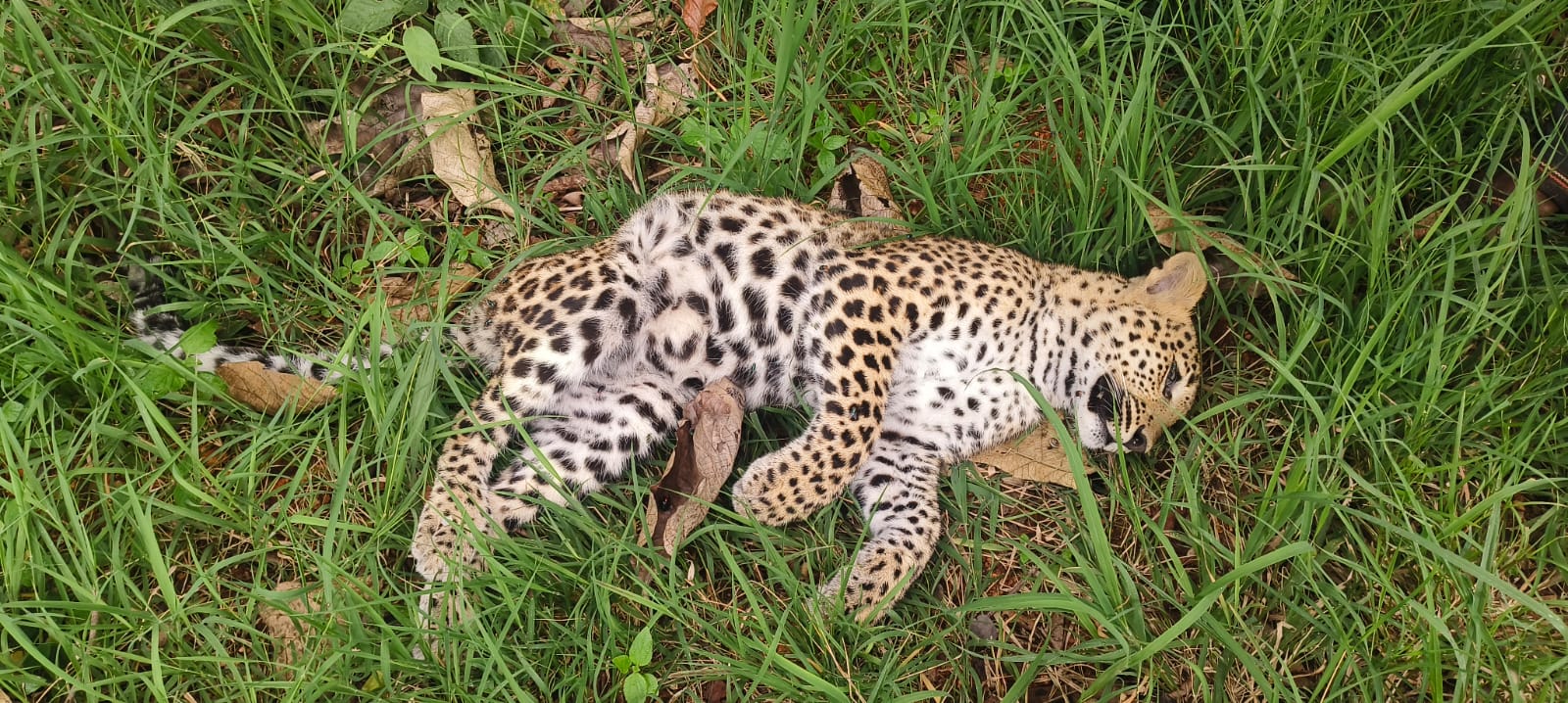
Sometimes wild animals get hit and hurt by the vehicles.
The high road would let traffic pass over the forest so animals can move around safely below.
The experts met the local forest officer to discuss the plan.
They still need to do many studies about wildlife and the environment before the road can be approved.

NHAI and Wildlife Institute of India officials carried out a preliminary technical assessment of a proposed four-lane steel elevated corridor over the Amrabad tiger reserve after a Wednesday field visit.
The 54-km elevated corridor would fly over the tiger reserve's core forest area, replacing the on-ground section of National Highway 765.
The corridor would start near Brahmanapally, about 3 km from Mannanur, and end near Eegalapenta, close to the River Krishna and the Srisailam dam.
Officials met with Nagarkurnool district forest officer Revanth Chandra and reserve field officers at Domalapenta following the road inspection.
Further decisions depend on a preliminary survey, wildlife and environmental impact assessments, and evaluation of forest land requirements.
- Who
- Officials from the National Highways Authority of India (NHAI), technical experts from the Wildlife Institute of India (WII), and Nagarkurnool district forest officer Revanth Chandra.
- What
- A preliminary technical assessment of a proposed 54-km four-lane steel elevated corridor over the Amrabad tiger reserve.
- Where
- Amrabad tiger reserve, from near Brahmanapally (about 3 km from Mannanur) to near Eegalapenta, close to the River Krishna and the Srisailam dam; discussions were held at Domalapenta.
- When
- After a field visit on a Wednesday; no exact date was given in the article.
- Why
- To study replacing the on-ground section of National Highway 765 with an elevated corridor to reduce wildlife road kills and disruption of animal movement.
Key facts
- Proposed structure
- Four-lane steel elevated corridor
- Length
- 54 km
- Location
- Over the core area of the Amrabad tiger reserve
- Start point
- Near Brahmanapally, about 3 km from Mannanur
- End point
- Near Eegalapenta, close to River Krishna and Srisailam dam
- Highway replaced
- On-ground section of National Highway 765
- Traffic
- Hundreds of vehicles daily; thousands on weekends
- Next steps
- Preliminary survey, wildlife impact assessments, forest land evaluation
Quotes
Revanth Chandra
District forest officer, Nagarkurnool
“Further decisions on the corridor will be taken only after comprehensive technical studies, scientific analyses, environmental and wildlife impact assessments, and detailed evaluations of the forest land requirements.”
 deccanchronicle.com
Sources
Related news
Leopard Cub Killed by Speeding Vehicle in Amrabad Tiger Reserve

Opposition Grows as ₹417-Crore Elevated Corridor Work Begins in Ujjain

Indore Advances Elevated Corridor and Flyover Projects to Ease Traffic
Six-lane highway link to Zirakpur bypass construction starts in December
Rs 716 Crore Dehradun Bypass Aims to Ease Delhi Travel

Tamil Nadu Plans Industrial Corridors, Coastal Roads and Safety Upgrades

India Builds Vulture Restaurants to Aid Vanishing Scavengers
Great Nicobar Lighthouse Study Accused Of Listing Fake Species
Barrukhar Village Challenges India’s Protected Vulture Conservation Model

Environmentalists Seek Fast Conservation Status for Navi Mumbai’s DPS Lake

Madhya Pradesh Maps Snake Diversity Amid Rising Bite Concerns