1 day ago
Experts Survey Uttarakhand Glacial Lakes for Disaster Risks

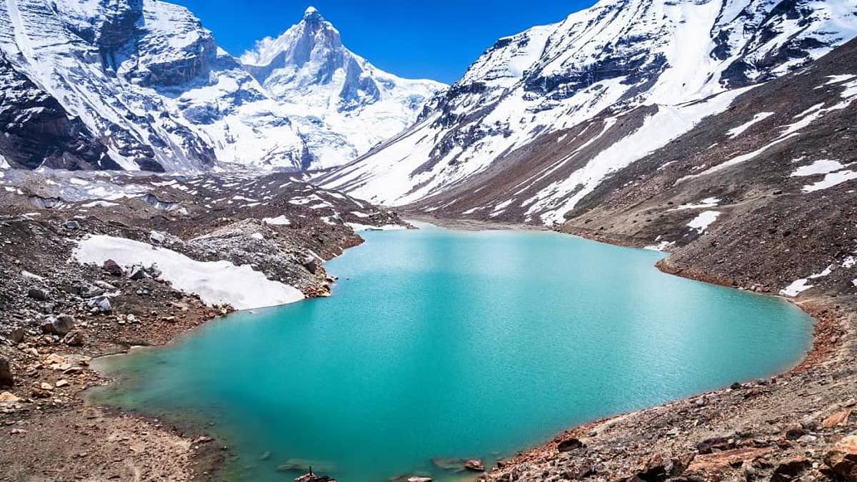
Expert teams are studying two high-altitude lakes in Uttarakhand.
The lakes are called Saraswati Tal and Kedartal.
Scientists will check how much water they hold and whether their size or surroundings have changed.
They will also study what could happen to areas downstream if a lake becomes dangerous.
Uttarakhand says 13 glacial lakes are sensitive, and four have already been surveyed.
The teams include scientists, disaster-response workers and mountaineering experts.
Their findings will help officials create better warning systems and evacuation plans.
The goal is to reduce harm if a glacial lake creates a disaster.

Teams are surveying Saraswati Tal in Chamoli and Kedartal in Uttarkashi.
The surveys will measure water levels, lake conditions, size changes, terrain and downstream risks.
Uttarakhand has identified 13 sensitive glacial lakes, with four already surveyed.
Bathymetric surveys will be conducted at elevations of about 5,700 and 4,750 metres.
Officials plan to improve early warnings, evacuation routes, communications and rescue preparedness.
- Who
- Teams from Uttarakhand’s disaster-management authority, scientific institutions and response agencies, including officials and experts.
- What
- Experts are conducting bathymetric and scientific surveys of Saraswati Tal and Kedartal to assess glacial-lake risks.
- Where
- Saraswati Tal in Chamoli and Kedartal in Uttarkashi, Uttarakhand.
- When
- The teams were dispatched on Tuesday; surveys of sensitive lakes are being conducted in phases.
- Why
- To understand lake conditions and downstream hazards and strengthen early-warning, evacuation and disaster-response preparedness.
Key facts
- Lakes surveyed
- Saraswati Tal and Kedartal
- Sensitive lakes identified
- 13 in Uttarakhand
- Previously surveyed
- Four sensitive glacial lakes
- Saraswati Tal elevation
- About 5,700 metres
- Kedartal elevation
- About 4,750 metres
- Survey focus
- Water levels, lake condition, size changes, terrain, risk factors and downstream impacts
- Planned preparedness measures
- Sensors, water-level equipment, communications, warning systems, evacuation routes and rescue planning
Sources
Related news

Uttarakhand Orders Monitoring of 13 Sensitive Glacial Lakes
Uttarakhand Resumes Glacial Lake Surveys Amid Rising Himalayan Flood Risks
Uttarakhand Orders Advanced Technology-Based Monitoring of Glacial Lakes

Sikkim completes scientific assessment of high-risk glacial lakes
Sikkim Studies 16 High-Risk Glacial Lakes Amid GLOF Threat

IIT Researchers Warn of Himachal Pradesh Glacial Lake Floods

Dy CM Orders Probe into Green Norm Violations at Panchadarla Hill

Minister Directs E-Flow Studies, Stakeholder Consultations for Rivers