

3 weeks ago
Sikkim completes scientific assessment of high-risk glacial lakes

High up in the mountains of a place called Sikkim in India, there are lakes made of melting ice and snow.
Sometimes, the water in these lakes can suddenly burst out, like a giant water balloon popping.
This is called a glacial lake outburst flood, and it can wash away roads, bridges and even villages.
To help keep people safe, the Sikkim government sent a team of scientists to look at the riskiest lakes.
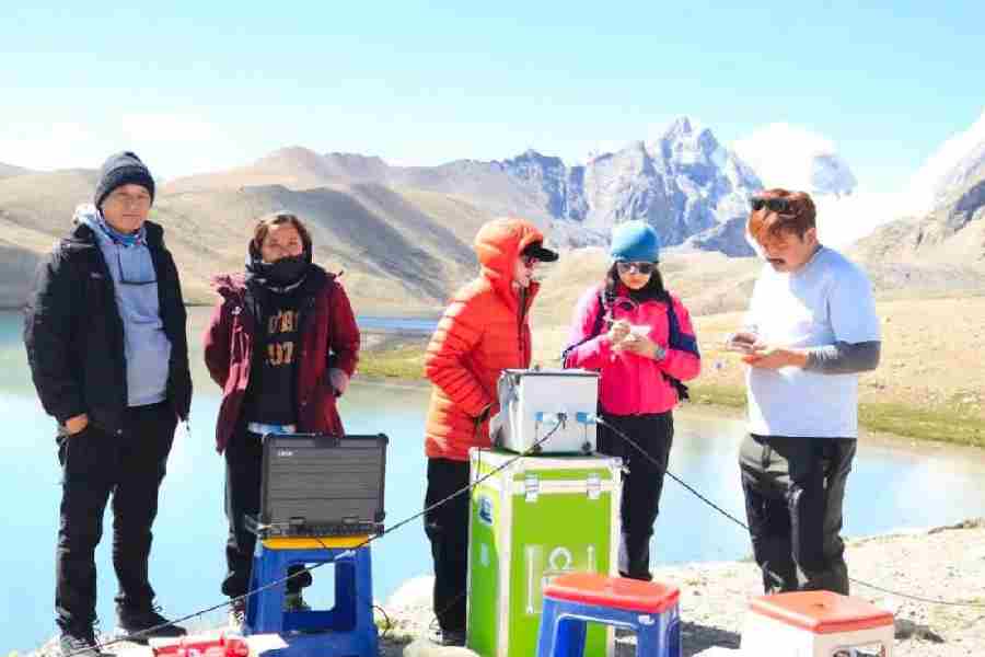
The team climbed high into the mountains in an area called Mangan district to study the lakes up close.
They measured how deep and wide the lakes are, studied the rocks and ground around them, and checked the weather.
They used special tools and machines to gather this information.
Helpful soldiers and police officers from the Indian Army and Indo-Tibetan Border Police went with them to keep them safe.
The scientists will use all this information to predict which lakes are dangerous and how to protect the towns and villages below.
This way, people can be warned and prepared before a flood ever happens.

The Sikkim government completed a multidisciplinary scientific expedition to assess high-risk glacial lakes in Mangan district, led by the Department of Science and Technology (DST).
The expedition, conducted from July 23 to August 8, focused on vulnerable glacial lake systems in the upper reaches of North Sikkim.
The team collected geological, hydrological, geophysical and meteorological data using techniques including electrical resistivity tomography, bathymetric and DGPS surveys, and geomorphological investigations.
The data will support hydrodynamic modelling, identification of potential GLOF hazards, and lake-specific comprehensive mitigation plans to guard against glacial lake outburst floods.
A meteorological monitoring station was deployed at Kerang and Goma Chhu, and the Indian Army and Indo-Tibetan Border Police (ITBP) provided operational and field support.
- Who
- The Sikkim government's Department of Science and Technology (DST), with field support from the Indian Army and Indo-Tibetan Border Police (ITBP).
- What
- A multidisciplinary scientific expedition to assess high-risk glacial lakes and gather data for glacial lake outburst flood (GLOF) hazard and risk assessment.
- Where
- Mangan district and other selected vulnerable lake systems in the upper reaches of North Sikkim, including Kerang and Goma Chhu.
- When
- The expedition ran from July 23 to August 8; the completion was announced on August 11.
- Why
- To strengthen preparedness against glacial lake outburst floods and build a scientific baseline for monitoring and lake-specific GLOF mitigation planning.
Key facts
- Lead agency
- Department of Science and Technology (DST)
- Expedition period
- July 23 – August 8
- Location
- Mangan district, upper reaches of North Sikkim
- Hazard addressed
- Glacial lake outburst floods (GLOFs)
- Data collected
- Geological, hydrological, geophysical and meteorological
- Techniques used
- Electrical resistivity tomography, bathymetric and DGPS surveys, geomorphological investigations
- Weather stations deployed
- Kerang and Goma Chhu
- Field support
- Indian Army and Indo-Tibetan Border Police (ITBP)
Quotes

Sikkim government department
Official statement from the Department of Science and Technology, Sikkim
“The scientific information generated through the expedition will support detailed assessment of lake characteristics and surrounding terrain, hydrodynamic modelling, identification of potential GLOF hazards, long‑term monitoring and the development of lake‑specific comprehensive GLOF hazard mitigation plans for the Sikkim government.”
 theprint.in
Sources
Related news
Nepal Flood Highlights Sikkim’s Hanging Glacier Threat and Preparedness
Himachal Pradesh Identifies 67 Vulnerable Glacial Lakes, Plans Warnings
Sikkim Proposes Engineering Solutions to Mitigate Glacial Flood Risks

Nepal’s Glacial Lakes Raise Alarms Along Vulnerable River Corridors

Press Bodies Challenge FIR Over ABP's 'Gerua Gundami' Report
Saffron Protesters Paint Anandabazar Patrika Office After Headline Row

Press Bodies Condemn Kolkata FIR Over ‘Saffron Hooliganism’ Reports
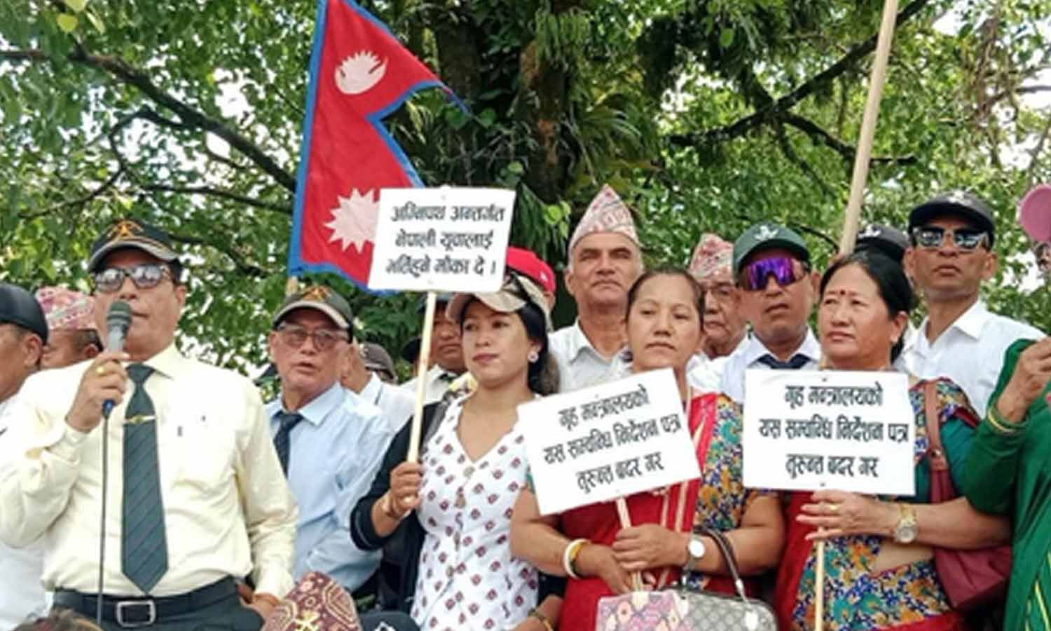
Nepali youths rally to demand Indian Army Agniveer recruitment

Bollywood dialogues celebrate patriotism ahead of Independence Day 2026
