12 hrs ago
Himalayan Melt and Monitoring Gaps Threaten Northern India
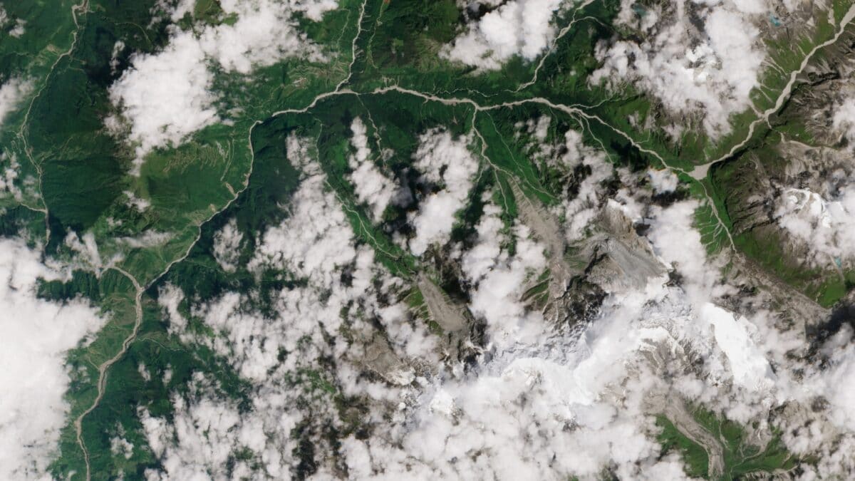
The Himalayan mountains are losing ice as the climate gets warmer.
This melting is making many lakes high in the mountains grow larger.
If a lake suddenly breaks through its natural barrier, a powerful flood can rush downstream.
Melting permafrost can also make steep mountain slopes unstable.
A deadly August 2026 flood disaster in Nepal and Tibet showed how dangerous these events can be.
More than 1,300 people were killed in that disaster.
Rivers connected to the Himalayas flow into northern Indian states, where homes and infrastructure could be damaged.
The region does not yet have one real-time warning system that works across national borders.
Scientists want countries to share monitoring systems and improve the safety of mountain construction.

Glaciers across the Qinghai-Tibet Plateau have shrunk by 24% over six decades, while southern Himalayan glaciers have lost 40% of their ice area.
More than 14,000 high-altitude glacial lakes are expanding by about 1% annually and hold billions of cubic metres of meltwater.
Thawing permafrost can destabilize slopes, triggering avalanches and potentially Glacial Lake Outburst Floods.
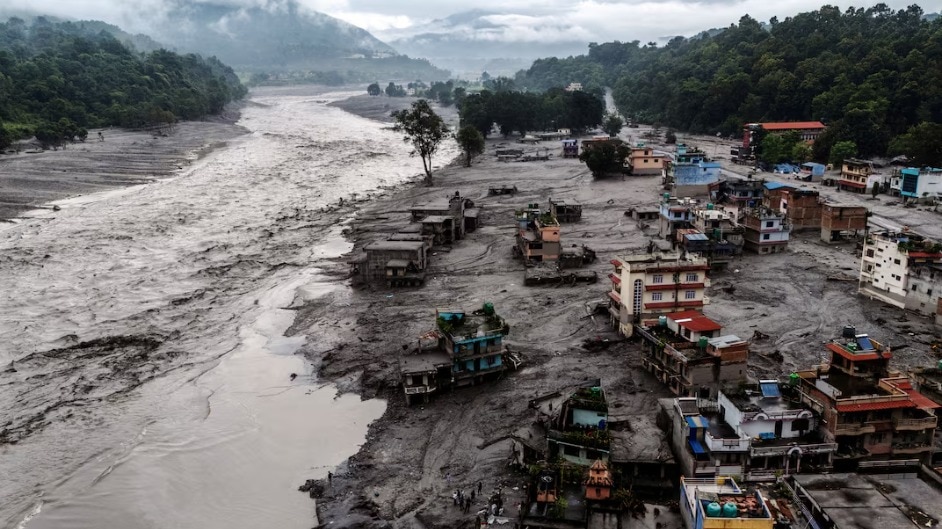
The August 2026 Nepal–Tibet border floods killed more than 1,300 people and devastated the Trishuli and Bhote Koshi river corridors.
Experts say India and neighbouring countries need integrated early-warning systems, automated lake monitoring and climate-resilient infrastructure standards.
- Who
- Communities and infrastructure in Nepal, Tibet and northern India are at risk; glaciologists and other experts are urging stronger regional monitoring.
- What
- Accelerating Himalayan ice loss, expanding glacial lakes and monitoring gaps are increasing the risk of avalanches and Glacial Lake Outburst Floods.
- Where
- The risks span the Himalayas, the Qinghai-Tibet Plateau, Nepal, Tibet and Indian states including Uttarakhand, Himachal Pradesh, Sikkim and Arunachal Pradesh.
- When
- The article was last updated on September 14, 2026, following the August 2026 Nepal–Tibet border floods.
- Why
- Climate-driven warming is accelerating ice and permafrost loss, while the region lacks an integrated real-time early-warning network across international borders.
Key facts
- Qinghai-Tibet Plateau glacier loss
- 24% over the last six decades
- Southern Himalayan glacier loss
- 40% reduction in ice area
- High-altitude glacial lakes
- More than 14,000
- Lake expansion rate
- About 1% annually
- August 2026 flood casualties
- More than 1,300 people killed
- Most exposed Indian states
- Uttarakhand, Himachal Pradesh, Sikkim and Arunachal Pradesh
- Warning-system limitation
- River gauges provided only minutes of warning, and no integrated real-time regional network currently operates across borders
Sources
Related news

Tibetan Glacier Instability Raises Risk Of Deadly Floods

Himalayan Glacier Loss Raised Nepal Flood Disaster Risks

Himalayan Glacier Melt Threatens Water Security and Livelihoods

IIT Researchers Warn of Himachal Pradesh Glacial Lake Floods

Melting Himalayan Glaciers Raise Risk of Downstream Floods
Expert Warns Himalayan Flash-Flood Risks Grow Amid Nepal Catastrophe

Kolkata Puja Committee Donates to Nepal Flood Victims

Nepal Flash Flood Death Toll Reaches 1,388 as Search Continues

Biography Portrays Dalai Lama’s Journey From Child to Leader