

1 week ago
How Geography Sustains Trade Networks Beyond Fallen Empires
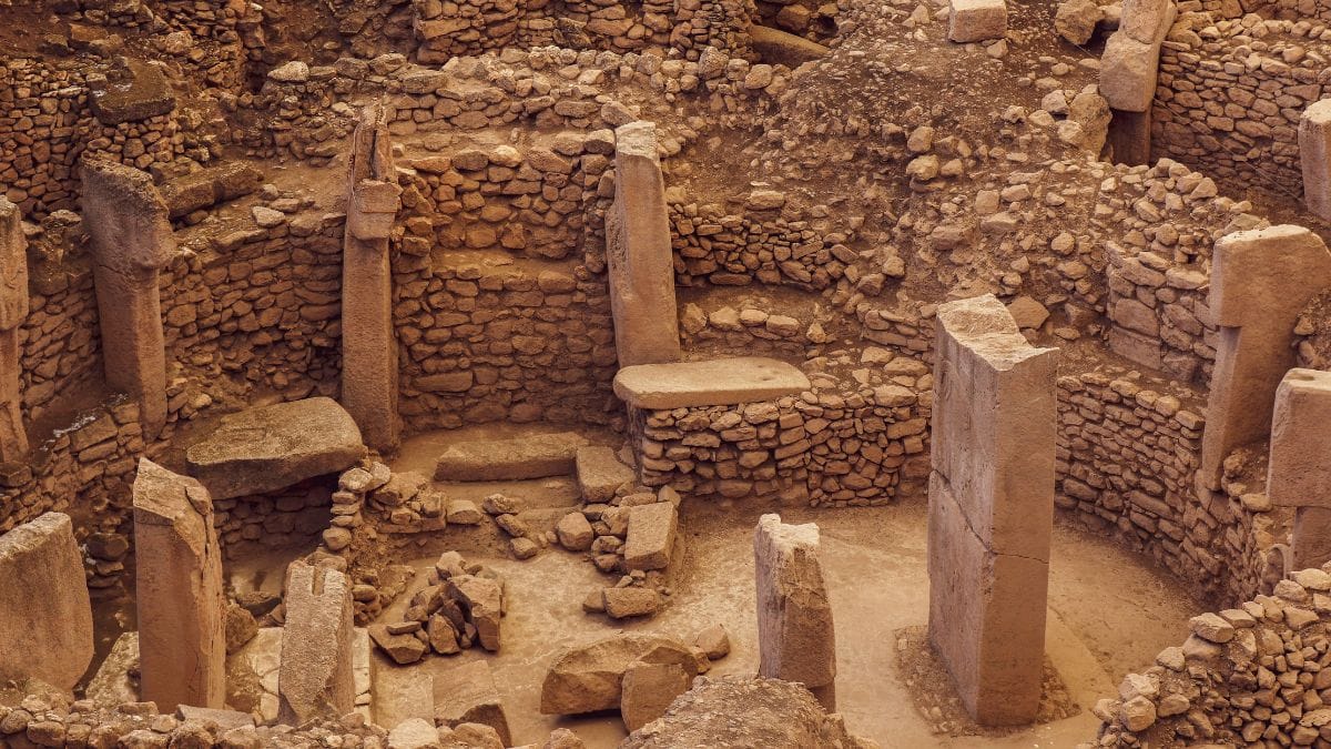
People trade because they need things that may not be available where they live.
The places where people live shape what they can make and exchange.
Over time, these exchanges create roads, towns, cultures, and wealth.
The ancient Harappan cities were connected through networks even though they stood in different environments.
Copper from the Khetri region was traded with settlements including the Harappans.
Some of these old routes later helped towns such as Bikaner, Jodhpur, Udaipur, and Barmer grow.
Trade routes also connected regions involved in cotton and metal production.
Governments and empires changed, but many networks of people and goods continued.
The article says geography helps explain why some places remain important centers of trade.

The article argues that geography creates cultural practices, trade routes, and long-lasting economic networks.
Harappan cities such as Dholavira, Harappa, Mohenjo-daro, and Rakhigarhi functioned as connected nodes across diverse ecologies.
Copper and other minerals from the Khetri and Aravalli regions were exchanged with settlements including the Harappans thousands of years ago.
Historic routes linking Rajasthan, Gujarat, the Deccan, and eastern India continued to influence later towns, industries, and urban centers.
Akshay Chavan’s The Wealth Network identifies 108 wealth routes and examines how landscapes shaped the movement of goods, people, and ideas.
- Who
- Akshay Chavan, as discussed by archaeologist Disha Ahluwalia, examines historical trade networks across the Indian subcontinent.
- What
- The article explains how geography shaped cultures, trade routes, wealth, cities, and political centers over time.
- Where
- The examples span the Indian subcontinent, including Dholavira, Khetri, Rajasthan, Gujarat, the Deccan Plateau, and eastern India.
- When
- The networks discussed extend from at least the third millennium BCE to the present.
- Why
- Different landscapes provided resources and encouraged movement and exchange between communities.
Key facts
- Book discussed
- The Wealth Network by Akshay Chavan
- Routes identified
- 108 wealth routes
- Ancient urban network
- Harappa, Dholavira, Mohenjo-daro, and Rakhigarhi were described as interconnected nodes.
- Key resource region
- The Khetri region was known for rich copper deposits.
- Ancient exchange
- Copper and other minerals from the Aravalli region were traded with contemporary settlements, including Harappan communities.
- Cultural geography
- Carl Sauer described culture as the agent, nature as the medium, and the cultural landscape as the result.
- Examples of continuing routes
- The article discusses cotton, metal, and arid-region routes that continued to shape later towns and industries.
Sources
Related news

Book Explores Civilisational Forces Behind Bharat’s Economic Rise
Beyond Scale: Local Knowledge Is the Greatest Competitive Advantage

India’s Cultural Heritage Strengthens Its Global Soft Power
New Book Traces the Sari’s History, Skills and Livelihoods
