3 weeks ago
Karnataka Launches AI-Powered Composite Digital Crop Survey Initiative
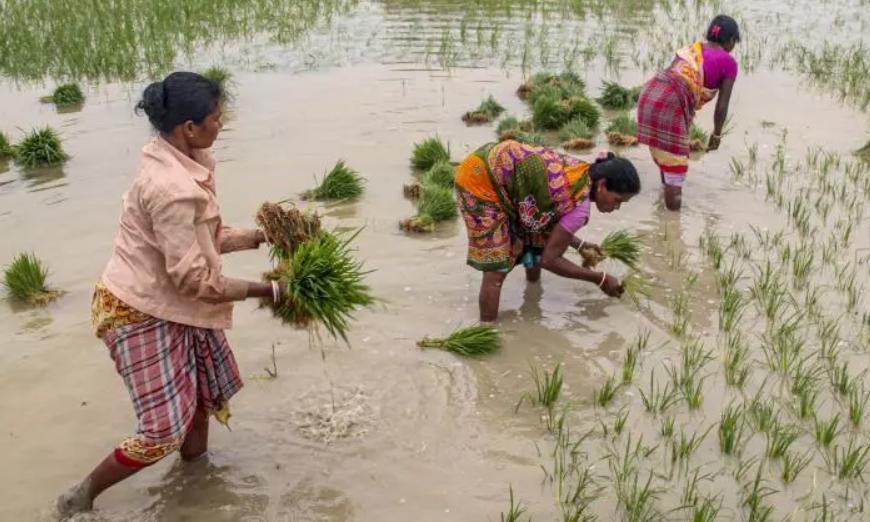
The Karnataka government wants to know exactly what crops farmers grow.
To find out, it launched a new programme called the Composite Digital Crop Survey.
This programme uses special tools like satellites in the sky and drones that fly over fields.
It also uses artificial intelligence, a kind of smart computer program, and machine learning.
These tools take detailed pictures of farmland to figure out what is growing there.
Good information helps the government make better decisions to support farmers.
Karnataka has been doing a simpler version of this survey since 2018 using a mobile app.
The new version will first be tested in five small areas called hoblis across the state.
If the test works well, the survey will be used across the whole of Karnataka.

Karnataka launched the Composite Digital Crop Survey to improve the accuracy and reliability of agricultural data.
The initiative combines satellite imagery, artificial intelligence, drones, Synthetic Aperture Radar, GIS data and machine learning with the existing survey system.
The survey will first run as a pilot in five selected hoblis covering all geographical divisions of the state.
A stakeholder workshop in Bengaluru brought together policymakers, technical experts, research institutions and technology partners.
Karnataka has been running the Digital Crop Survey since 2018 through a GIS-based mobile application for plot-level data.
- Who
- The Karnataka government, including Principal Secretary Pankaj Kumar Pandey of the Department of e-Governance, along with the Revenue, Agriculture, Horticulture, Sericulture, Fisheries and IT-BT departments.
- What
- Launched the Composite Digital Crop Survey, an AI and satellite-based initiative to improve the accuracy and reliability of agricultural data.
- Where
- Bengaluru, Karnataka, at the CAAS Officers' Research and Training Centre.
- When
- Announced at a stakeholder workshop on Thursday; the existing Digital Crop Survey has been operating since 2018.
- Why
- To strengthen the crop survey process, improve agricultural data accuracy, and support evidence-based governance and policymaking.
Key facts
- Initiative
- Composite Digital Crop Survey
- Technologies Used
- High-resolution satellite imagery, Synthetic Aperture Radar, drones, GIS data, AI and Machine Learning
- Pilot Areas
- Five selected hoblis representing all geographical divisions of the state
- Existing System
- Digital Crop Survey (running since 2018) via a GIS-based mobile application
- Lead Organisers
- Department of Personnel and Administrative Reforms (e-Governance), with Revenue, Agriculture, Horticulture, Sericulture, Fisheries and IT-BT departments
- Workshop Venue
- CAAS Officers' Research and Training Centre, Bengaluru
- Presenting Agencies
- Department of e-Governance, Karnataka State Remote Sensing Applications Centre, National Remote Sensing Centre
Quotes
Pankaj Kumar Pandey
Principal Secretary, Department of e-Governance, Karnataka
“The use of emerging digital technologies is essential to strengthen the crop survey process, improve the accuracy of agricultural data, and support evidence-based governance and effective policymaking.”
 deccanchronicle.com
Sources
Related news

Karnataka plans India's first AI university, seeks Anthropic partnership
Government Urges Farmers to Join Digital Crop Registration

Tamil Nadu Unveils Uzhavar AI Scheme in Agriculture Budget 2026-27

India's Space Sector Finds Biggest Impact Back on Earth

Karnataka teams up with Anthropic to boost AI in governance
Karnataka CM Shivakumar announces AI education programme in I-Day speech

NISAR's Nepal Flood Silence Raises Questions About Disaster Readiness

ISRO Plans EOS 5 Comeback Launch After PSLV Setbacks

India’s Space Ambitions Expand From Moon to Mars, Venus
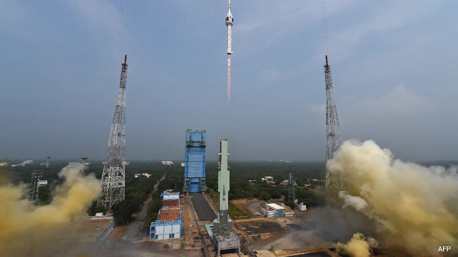
ISRO Targets Gaganyaan Uncrewed Launch Within Four Months