4 days ago
Nepal Reports New Glacial Lakes After Bhote Koshi Floods
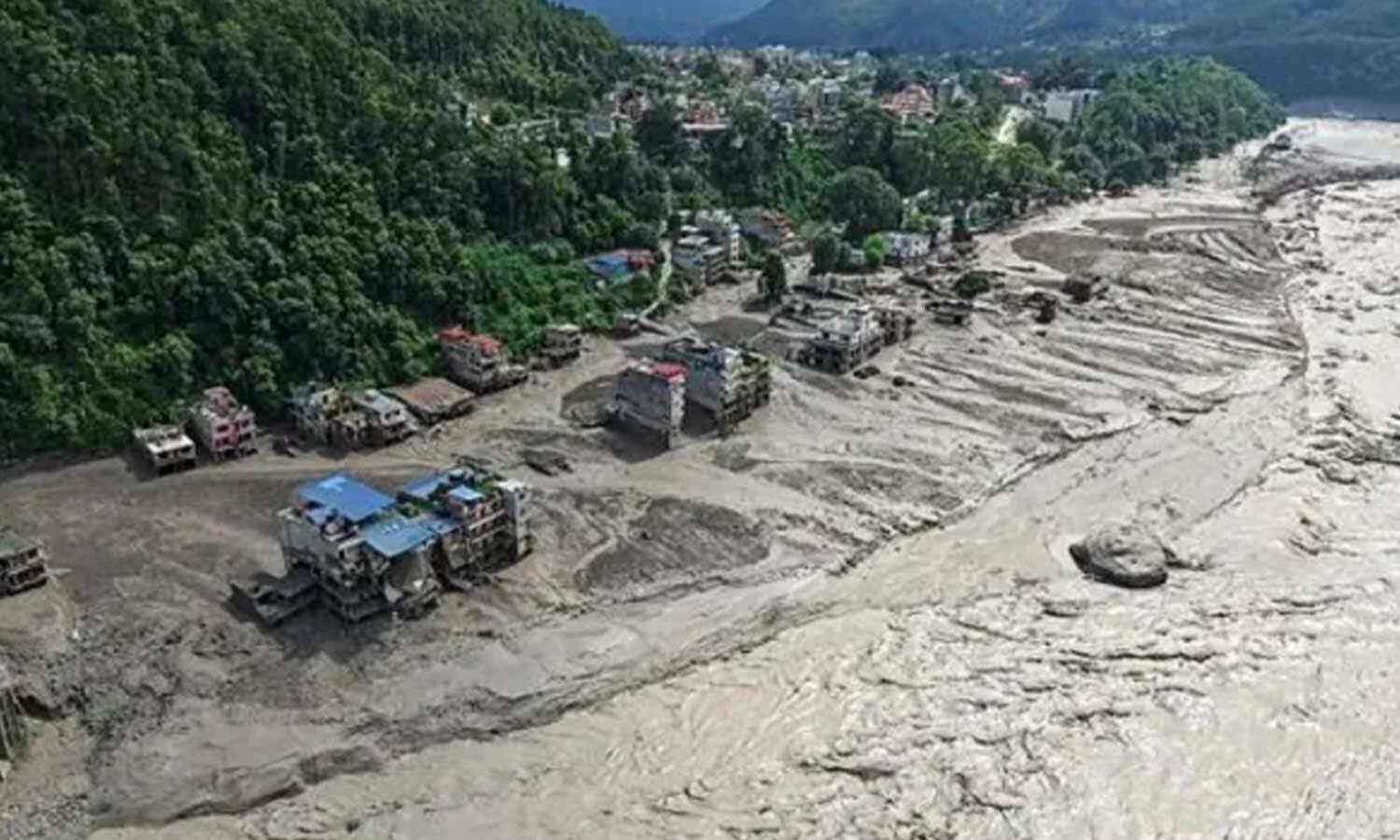
Nepal has reported new lakes forming in areas affected by recent floods.
Two lakes were confirmed near the Bhote Koshi-Trishuli river system.
One is about 19.80 hectares wide, and the other is about 7.28 hectares wide.
Officials do not yet know how much water they contain.
Rocks and soil carried by glaciers may make the area dangerous.
A company also found a separate water body about 20.25 hectares wide near the Nepal-Tibet border.
Scientists plan to study these lakes using satellites and visits to the area.
They do not yet know how the lakes may change or whether they could threaten people downstream.

Nepal’s National Disaster Management Authority confirmed two additional glacial lakes near the Bhote Koshi-Trishuli river system.
The two lakes cover 19.80 hectares and 7.28 hectares, but their water volumes have not been estimated.
Officials said glacier debris, including rocks and soil, could make the situation dangerous.
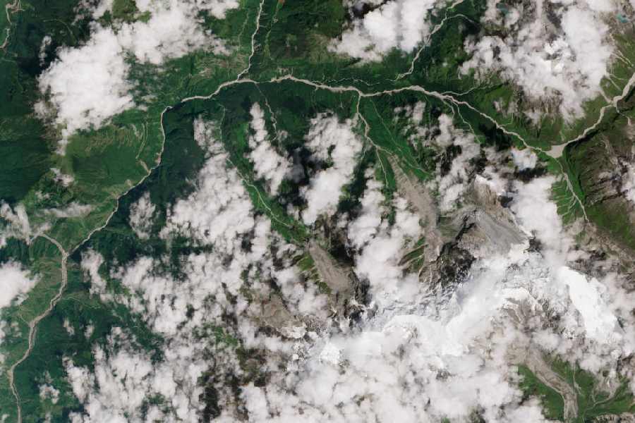
Suhora Technologies identified another water body covering about 20.25 hectares in the high-altitude Lende Khola area.
The lakes will require continued satellite monitoring and field studies to assess their depth, stability, and threat to downstream communities.
- Who
- Nepal’s National Disaster Management Authority and Noida-based Suhora Technologies reported the lakes.
- What
- Two additional glacial lakes were confirmed, while Suhora Technologies identified another water body in the same region.
- Where
- Near the Bhote Koshi-Trishuli river system and in the high-altitude Lende Khola area near the Nepal-Tibet border.
- When
- The floods occurred on 26 August, and Suhora analyzed satellite imagery taken on 27 August.
- Why
- The lakes formed or appeared after recent floods, creating concerns about their stability and possible danger to downstream communities.
Key facts
- Confirmed lakes
- Two additional glacial lakes were confirmed by Krishna Vatsa, head of Nepal’s National Disaster Management Authority.
- Reported sizes
- The two lakes cover 19.80 hectares and 7.28 hectares.
- Water volume
- No estimates are currently available for how much water the two lakes can hold.
- Additional water body
- Suhora Technologies identified a water body covering approximately 20.25 hectares.
- Satellite imagery
- The company used high-resolution imagery taken on 27 August.
- Flood date
- The reported floods occurred on 26 August.
- Planned assessment
- Suhora plans satellite monitoring and field studies of formation, depth, stability, and downstream risk.
Sources
Related news
Nepal Issues Fresh Flood Warning as Bhote Koshi Rises

New Barrier Lake Raises Second Flood Risk In Nepal
Nepal Monitors Two Lakes as Flood Risk Persists Downstream

Nepal Issues Fresh Flood Warning as Bhote Koshi Rises Further

New Nepal Glacier Lake Raises Further Flooding Fears
Nepal and China Warn of Fresh Himalayan Flood Threats
Kailash Flood Tragedy Puts Sadhguru’s Safety Claims Under Fire

Nepal Flood Death Toll Tops 1,200 as Searches Continue
Satellite Radar May Strengthen Nepal's Flood Warning Systems
Nepal Plans New Landslide Warning System Along China Border

Nepal Thanks India as Glacial Disaster Rescue Efforts Continue