9 hrs ago
Bhadradri-Kothagudem Officials Push for Error-Free Land Re-Survey
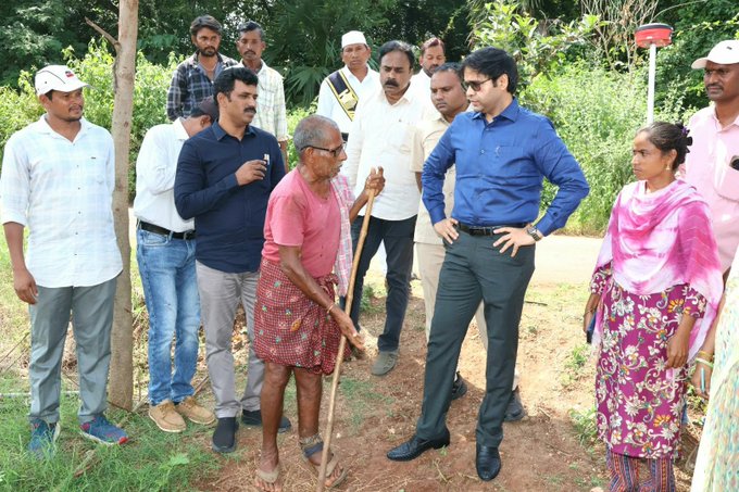
Officials in Bhadradri-Kothagudem are checking land records again.
District Collector Ankit visited Nallabandaboru to review the work.
The village area has 1,426 acres of land.
Officials are marking the village boundaries as part of the survey.
Ankit said each land parcel should be checked on the ground and compared with existing records.
He also asked officials to use technical tools and work together.
The aim is to keep the information accurate, avoid problems for farmers, and reduce ownership disputes.

District Collector Ankit urged officials to make the land re-survey error-free and set an example for the state.
The collector inspected work in Nallabandaboru gram panchayat, Julurupadu mandal.
He called for on-site verification of land parcels against existing records and use of technical methods.
Ankit urged revenue and survey officials to coordinate and avoid inconveniencing farmers or creating ownership disputes.
Officials said the gram panchayat covers 1,426 acres and that the re-survey, including boundary demarcation, was underway.
- Who
- District Collector Ankit and revenue and survey officials; Julurupadu tahsildar Srinivas and sarpanch G Sindhu were also present.
- What
- Officials are conducting a land re-survey and demarcating village boundaries; the collector urged accuracy and coordination.
- Where
- Nallabandaboru gram panchayat, Julurupadu mandal, Bhadradri-Kothagudem district, Telangana.
- When
- The inspection took place during the ongoing re-survey; no date was stated.
- Why
- To ensure land details are accurate, avoid inconvenience to farmers, and prevent ownership disputes.
Key facts
- District
- Bhadradri-Kothagudem
- Inspection site
- Nallabandaboru gram panchayat, Julurupadu mandal
- Land area
- 1,426 acres
- Survey status
- Re-survey was in progress, including village-boundary demarcation
- Collector
- Ankit
- Other officials present
- Julurupadu tahsildar Srinivas and gram panchayat sarpanch G Sindhu
Sources
Related news
Rangareddy Begins Village Resurvey to Resolve Land Boundary Disputes
Wanaparthy Official Orders Rigorous, Transparent Land Re-Survey Work
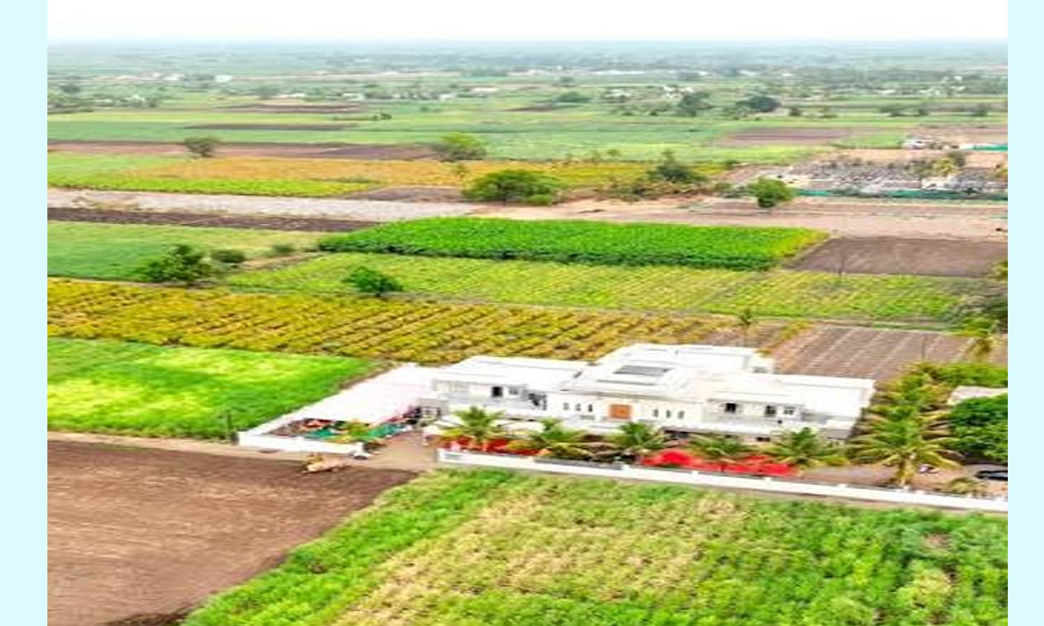
Erravelli Officials Survey Land Near KCR Farmhouse
Ponguleti directs officials to complete first land re-survey phase
Officials Complete First Phase of Erravalli Government Land Survey
Telangana Minister Says Land Resurvey Can Resolve Longstanding Issues

NCST Member Jathoth Hussain Reviews Tribal Development in Kothagudem

Revenue Minister Lays Foundations for Telangana Infrastructure

Minister Promises Palm Oil Factory in Mulakalapalli

2025 Sleeper Hits: Mahavatar Narsimha and Laalo Krishna