8 hrs ago
Telangana Minister Says Land Resurvey Can Resolve Longstanding Issues
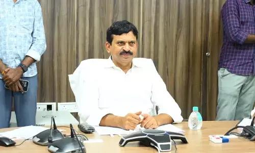
Telangana’s government is checking land records and maps again.
The revenue minister says this can help solve land problems permanently.
Some villages have old or missing maps, which can make ownership difficult to prove.
The first survey covered 70 villages.
Another survey is planned for about 413 villages.
New machines called survey rovers will help workers measure the land.
More surveyors have also received licences to speed up the work.
The government says each land parcel will get an identification number and map details.
Officials are also being asked to help families who have farmed land for many years but lack proper title documents.

Revenue Minister Ponguleti Srinivasa Reddy called land resurvey the best permanent solution to land disputes.
The government plans to resurvey approximately 413 revenue villages lacking available land maps.
A first phase has already covered 70 revenue villages under the Bhu Bharati programme.
Officials will provide land parcels with unique identification, geo-coordinates and Land Parcel Map numbers.
The minister said resurvey could address boundary disputes, record errors and missing title deeds.
- Who
- Revenue Minister Ponguleti Srinivasa Reddy, Excise Minister Jupally Krishna Rao, Animal Husbandry Minister Vakiti Srihari and state revenue officials.
- What
- The Telangana government is expanding a land-resurvey programme intended to resolve longstanding land disputes and improve land records.
- Where
- The review meeting took place in Wanaparthy, involving officials from the erstwhile Mahaboobnagar district, while the resurvey is planned across Telangana.
- When
- The review meeting was held on Monday; the articles do not provide a specific date.
- Why
- The government says resurvey will address problems linked to missing maps, old record errors, boundary disputes, Saada Bainamas and families lacking title deeds.
Key facts
- First-phase coverage
- Land was resurveyed in 70 revenue villages.
- Planned coverage
- Approximately 413 revenue villages are scheduled for resurvey.
- Programme
- The work is being conducted under the Bhu Bharati programme and Act.
- Land identification
- The government plans to provide each land parcel with unique identification, geo-coordinates and a Land Parcel Map number.
- Equipment
- The state acquired land-survey rovers and procured additional units for the second phase.
- Surveyors
- Licences have been issued to thousands of surveyors.
- Issues targeted
- The resurvey is intended to help address Saada Bainamas, boundary disputes, old-record errors and village settlement-property details.
Quotes
Ponguleti Srinivasa Reddy
Telangana Revenue Minister
“Unlike the BRS government that took decisions behind closed doors, the Congress government has been resolving issues by seeking and taking the opinions of the people. As mentioned in the 'Bhu Bharati' Act, the state government is moving forward to provide a unique identification, a map with geo-coordinates, and a Land Parcel Map (LPM) number for every land parcel.”
 deccanchronicle.com
Sources
Related news
Ponguleti directs officials to complete first land re-survey phase
Minister Srinivas Reddy Distributes Pattas, Rebukes Opposition Claims
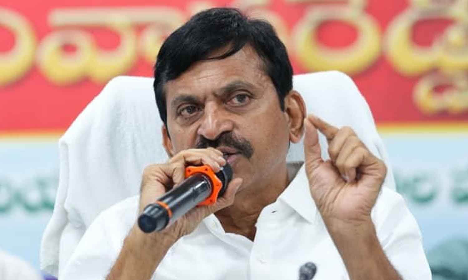
Minister Ponguleti Warns Revenue Officials Over Delays, Misconduct
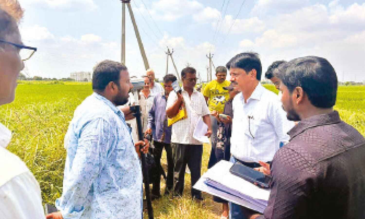
Andhra Pradesh Officials Require Farmers’ Presence During Land Re-survey
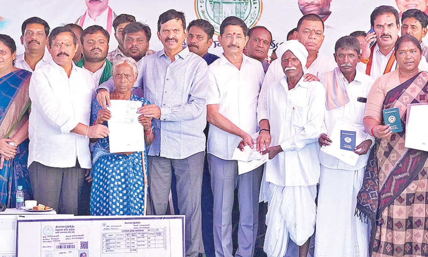
Ponguleti Warns Telangana Officials Against Negligence and Land Irregularities
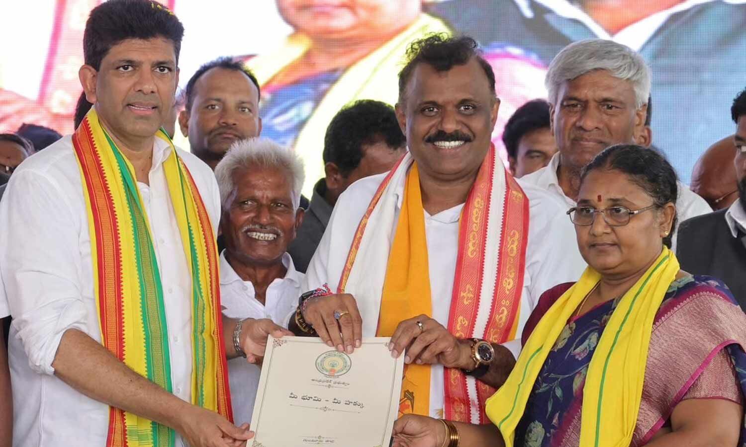
Pemmasani Vows Coalition Government Will Resolve Farmers’ Land Problems
Revanth Reddy Government Highlights Old City Development Push

Out-of-Constituency Beneficiaries Face Removal From Indiramma Housing Scheme

Poor Families to Get Subsidised Cement for Indiramma Houses
Minister Orders Faster Beneficiary Selection for Indiramma Housing