2 weeks ago
Bay of Bengal Depression Sparks Odisha Flood Fears, Red Alert
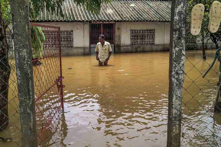
A big storm system called a 'depression' formed in the Bay of Bengal, the sea near India.
A depression is stronger than a low-pressure area but not as strong as a cyclone.
The storm brought very heavy rain to a state in India called Odisha.
Weather experts called the India Meteorological Department, or IMD, issued a red alert, which is their most serious warning.
A red alert means the rain could be very heavy and even extremely heavy.
Some places got more than 200 millimeters of rain, which is a huge amount of water.
Rivers like the Budhabalanga and Jalaka rose high, and parts of Balasore town were covered in water.
Schools in Mayurbhanj district were closed on Thursday so students could stay safe.
Fishermen were told to stay away from the sea until August 14 because of high winds.
Everyone is advised to be careful during thunderstorms and lightning.

A low-pressure area in the Bay of Bengal intensified into a depression, triggering heavy rain and flood fears in northern Odisha.
The IMD issued a 'red alert' warning of very heavy to extremely heavy rainfall across Odisha on Thursday.
The highest rainfall of 236 mm was recorded at Bhograi in Balasore district, followed by 230 mm at Shyamakhuntam and 215 mm at Baripada.
Water levels rose in the Budhabalanga and Jalaka rivers, causing waterlogging across a large part of Balasore town.
All educational institutions in Mayurbhanj district were closed on Thursday, and fishermen were advised not to venture into the North Bay of Bengal until August 14.
- Who
- The India Meteorological Department (IMD), district authorities, and residents of northern Odisha, particularly in Balasore and Mayurbhanj districts.
- What
- A Bay of Bengal depression brought very heavy to extremely heavy rainfall, leading to a red alert and flood fears in Odisha.
- Where
- Odisha, along with Gangetic West Bengal, Jharkhand and Chhattisgarh; the system was over the northwest Bay of Bengal.
- When
- Thursday, with the depression centred about 40 km southeast of Kolkata at 8:30 am and heavy rain continuing for the last 24 hours since Wednesday night.
- Why
- The well-marked low-pressure area concentrated into a depression that is expected to move northwestwards across Gangetic West Bengal and Jharkhand, causing heavy rainfall.
Key facts
- Weather system
- Depression (stronger than a low-pressure area, less intense than a tropical cyclone)
- Alert
- Red warning (take action) for very heavy to extremely heavy rainfall across Odisha
- Highest rainfall
- 236 mm at Bhograi in Balasore district
- System location (8:30 am Thursday)
- About 40 km southeast of Kolkata, West Bengal
- Affected regions
- Odisha, Gangetic West Bengal, Jharkhand, Chhattisgarh
- School closures
- All educational institutions in Mayurbhanj district closed on Thursday
- Fishermen advisory
- Do not venture into North Bay of Bengal and Odisha-West Bengal-Bangladesh coast until August 14
- Forecast wind speed
- 30-40 kmph along the Odisha coast
Quotes
Indian Meteorological Department (IMD)
India’s national meteorological agency issuing a weather bulletin
“"The well‑marked low‑pressure area over coastal West Bengal and adjoining areas of Bangladesh and northwest Bay of Bengal, moved northwestwards, concentrated into a depression."”
 telegraphindia.com
Sources
Related news
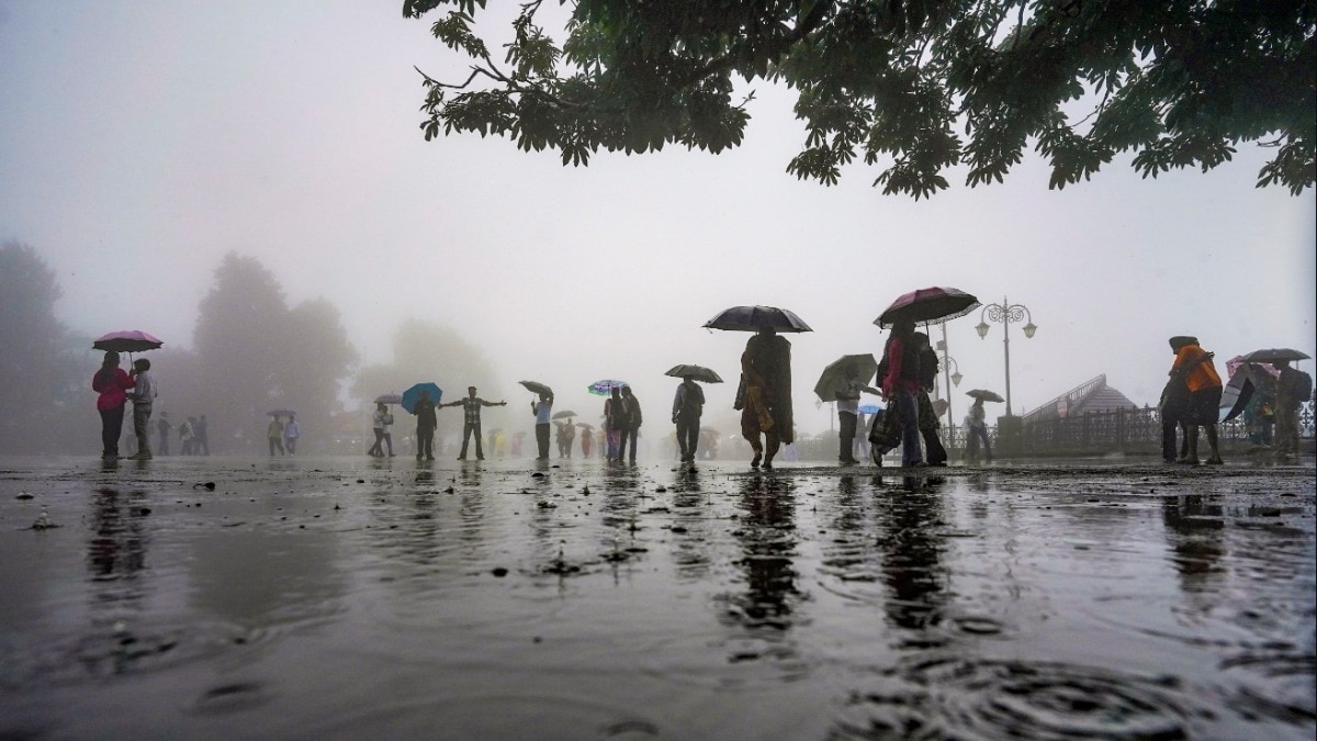
Bay of Bengal low-pressure system intensifies Odisha flood threat

Heavy Rain Batters Odisha as IMD Red-Warns Five Districts

Fresh Bay Low-Pressure System Brings Heavy Rain To Odisha

Flood-Hit Odisha Braces for Rain as Bay Low Forms

Bay low-pressure to deepen, heavy rain alert in South Bengal

IMD forecasts heavy rainfall in Odisha as low pressure forms

Bangladesh Recall Shanto, Mahmud for Asian Games T20 Squad

Sharma and Malik share halfway lead at Telangana Golconda Masters

India Replaces Sri Lanka as 2027 Women’s Champions Trophy Host

Centre Assures JDU Bihar’s Interests In Farakka Treaty Decision

India’s Record Wheat Harvest Opens $1.5 Billion Export Window